Crombie Point

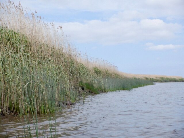
Coastal Marsh, Saltings in Fife

Scotland

Crombie Point

Reedbeds, Firth of Tay Clearings are visible where reeds have been harvested for thatching.
Reedbeds, Firth of Tay Credit: Richard Webb

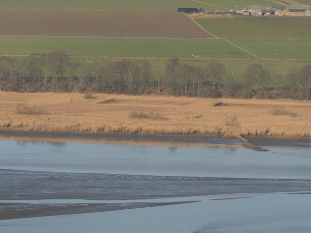
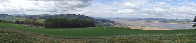
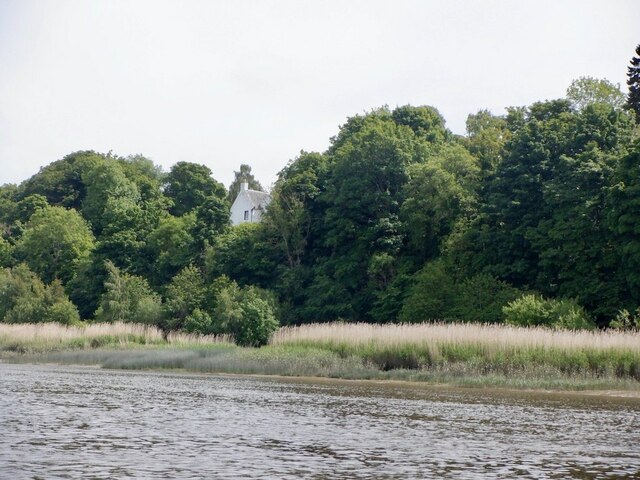
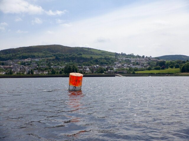
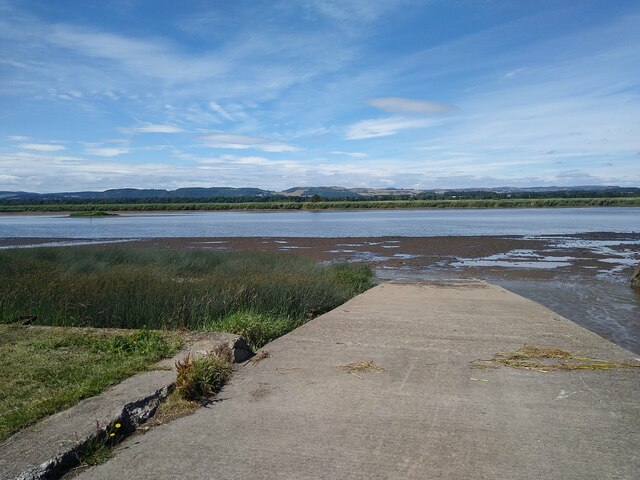
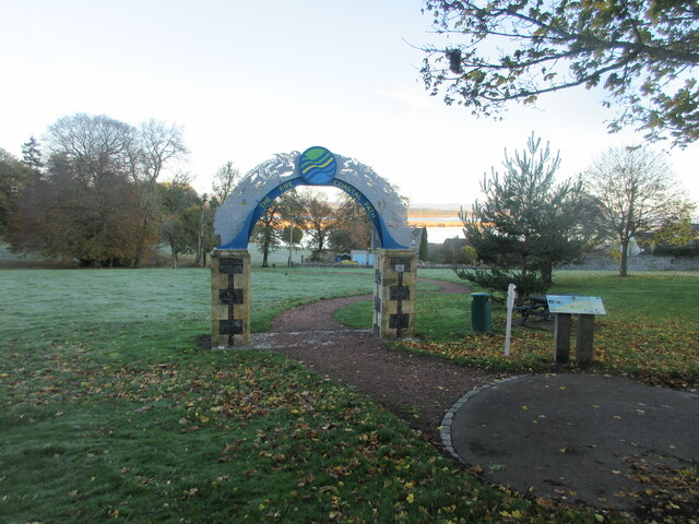
Crombie Point, located in Fife, Scotland, is a picturesque coastal marsh and saltings area that spans approximately 200 acres. Situated on the northern banks of the Firth of Forth, this natural habitat is a haven for various plant and animal species, making it a popular destination for nature enthusiasts and birdwatchers.

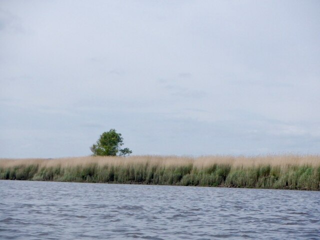
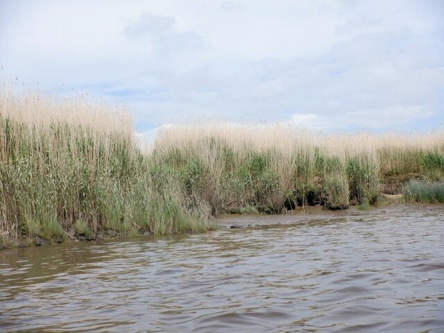
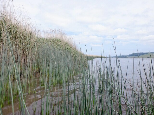
The marshland at Crombie Point is characterized by its unique combination of saltwater and freshwater, creating a diverse ecosystem that supports a wide range of flora and fauna. Salt-tolerant grasses, reeds, and sedges dominate the landscape, providing important nesting sites and feeding grounds for various bird species.

Birdwatchers flock to Crombie Point to observe the impressive array of avian life that calls this area home. Throughout the year, visitors can spot a variety of wading birds, such as oystercatchers, curlews, and redshanks. During the winter months, the marshland becomes a temporary refuge for migrating birds, including Brent geese and pink-footed geese.

In addition to its avian inhabitants, Crombie Point is also home to a diverse range of insects, amphibians, and small mammals. Butterflies flutter among the wildflowers, while frogs and toads can often be seen near the freshwater pools. The marshland's brackish water also supports a variety of fish species, providing a food source for larger predators like otters.

Crombie Point offers visitors the opportunity to explore its natural beauty through a network of well-maintained walking trails. Interpretive signs provide information about the local wildlife and habitat, enhancing the educational experience for visitors of all ages. The site also offers fantastic panoramic views of the Firth of Forth, making it an ideal spot for photographers and nature lovers alike.

If you have any feedback on the listing, please let us know in the comments section below.

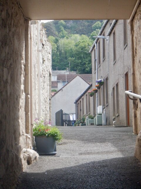
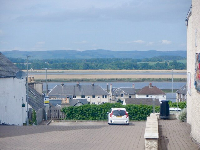
Crombie Point Images

Images are sourced within 2km of 56.362239/-3.2281431 or Grid Reference NO2419. Thanks to Geograph Open Source API. All images are credited.

Reedbeds, Firth of Tay Clearings are visible where reeds have been harvested for thatching.
Reedbeds, Firth of Tay
Clearings are visible where reeds have been harvested for thatching.
Lindores Hill The foreground and the forestry are all in this grid square, but one has to admit that it's the view that catches the eye. On the left, in the distance, is the prominent hump of West Lomond. Ormiston Hill rises steeply from the town of Newburgh, and in the sunshine to the right is the estuary of the River Tay.
Lindores Hill
The foreground and the forestry are all in this grid square, but one has to admit that it's the view that catches the eye. On the left, in the distance, is the prominent hump of West Lomond. Ormiston Hill rises steeply from the town of Newburgh, and in the sunshine to the right is the estuary of the River Tay.
Mugdrum House Near Newburgh
Mugdrum House
Near Newburgh
Newburgh seen from the South Deep Newburgh offers some escape routes off the water without too much interaction with the mud. Make sure you are on the right side of The Hard though. The ebb tide runs fast close to the shore here, unlike the slower flow by Mugdrum Island.
Newburgh seen from the South Deep
Newburgh offers some escape routes off the water without too much interaction with the mud. Make sure you are on the right side of The Hard though. The ebb tide runs fast close to the shore here, unlike the slower flow by Mugdrum Island.
Navigation marker off Newburgh One of a pair of bright orange marker barrels off Mugdrum Island.
Navigation marker off Newburgh
One of a pair of bright orange marker barrels off Mugdrum Island.
Mugdrum Island
Mugdrum Island
Reed beds, Mugdrum Island There is a sea wall around the centre of the island this is surrounded by  extensive reed beds.
Reed beds, Mugdrum Island
There is a sea wall around the centre of the island this is surrounded by extensive reed beds.
Reed beds, Mugdrum Island
Newburgh Harbour A relatively mud free corner enabled a clean exit off the river at around 2 hours before low water. I would not want to have got here much later. 
I had also just dropped my camera in the not so silvery Tay and was glad for a quick retrieval although it would have soon turned up as the tide fell.

The way out is by the metal ladder.
Newburgh Harbour
A relatively mud free corner enabled a clean exit off the river at around 2 hours before low water. I would not want to have got here much later. I had also just dropped my camera in the not so silvery Tay and was glad for a quick retrieval although it would have soon turned up as the tide fell. The way out is by the metal ladder.
Newburgh Harbour and the South Deep The mud was avoidable when taking out - just.
Newburgh Harbour and the South Deep
The mud was avoidable when taking out - just.
High Street, Newburgh
Reef Mog A close off Newburgh High Street.
Reef Mog
A close off Newburgh High Street.
Shop, Newburgh High Street Number plate designs of the time.  There was a current craze for three dimensional plates or 4D as they call them here.
Shop, Newburgh High Street
Number plate designs of the time. There was a current craze for three dimensional plates or 4D as they call them here.
Car park, Newburgh With a view over Mugdrum Island.
Car park, Newburgh
With a view over Mugdrum Island.
Ramp into the mud The River Tay at Newburgh at low tide. Small tufts of grass sticking out. Mugdrum Island is the much bigger bit of land in the middle of the river.
Ramp into the mud
The River Tay at Newburgh at low tide. Small tufts of grass sticking out. Mugdrum Island is the much bigger bit of land in the middle of the river.
Beginning of the Fife Coastal Path in Newburgh Gateway in the public park on the west side of Newburgh marking the beginning of the Fife Coastal Path.
Beginning of the Fife Coastal Path in Newburgh
Gateway in the public park on the west side of Newburgh marking the beginning of the Fife Coastal Path.
Newburgh War Memorial The war memorial on the west side of Newburgh, with the High Street to the right.
Newburgh War Memorial
The war memorial on the west side of Newburgh, with the High Street to the right.
Show me another place!

Crombie Point is located at Grid Ref: NO2419 (Lat: 56.362239, Lng: -3.2281431)

Unitary Authority: Perth and Kinross

Police Authority: Tayside

What 3 Words

///airfields.warnings.cuts. Near Newburgh, Fife

Related Wikis

Lindores Abbey

Lindores Abbey was a Tironensian abbey on the outskirts of Newburgh in Fife, Scotland. Now a reduced ruin, it lies on the southern banks of the River Tay...

Lindores Abbey distillery

Lindores Abbey distillery is a Scotch whisky distillery in Newburgh in the Lowlands whisky region in Scotland and is directly opposite the Abbey. It started...

Newburgh, Fife

Newburgh is a royal burgh and parish in Fife, Scotland, at the south shore of the Firth of Tay. The town has a population of 2,171 (in 2011), which constitutes...

Clatchard Craig

The fort of Clatchard Craig was located on a hill of the same name by the Tay. A human presence on the site has been identified from the neolithic period...

Have you been to Crombie Point?

Leave your review of Crombie Point below (or comments, questions and feedback).