Fishlake Mire
Coastal Marsh, Saltings in Devon West Devon
England
Fishlake Mire
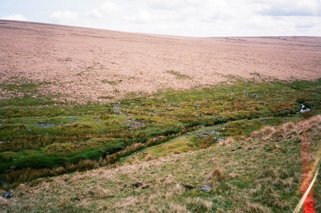
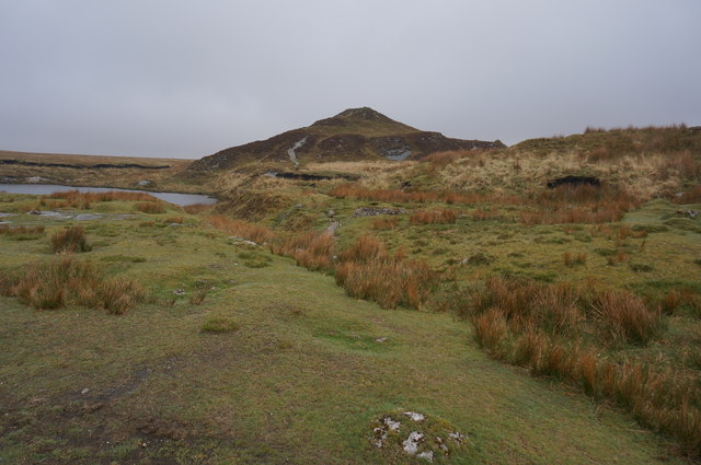
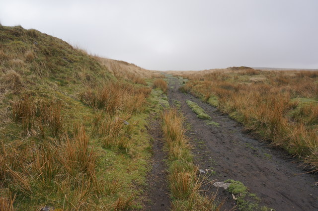
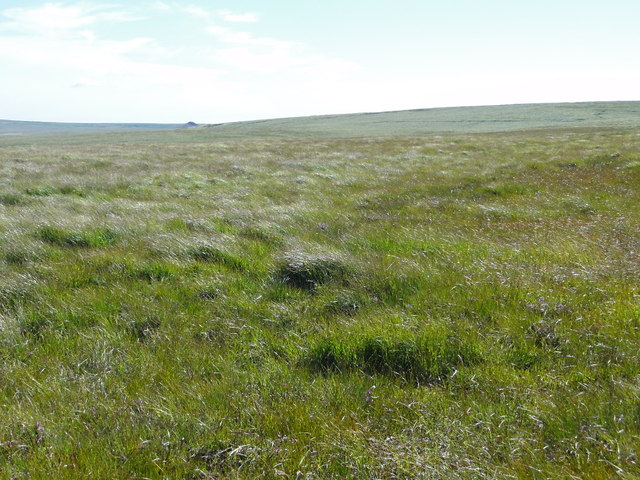
Fishlake Mire is a coastal marsh located in the county of Devon, England. Situated near the village of Fishlake, this area is known for its unique landscape and diverse ecosystems. The mire is part of the larger Exe Estuary and spans over 500 hectares, making it one of the largest marshes in the region.
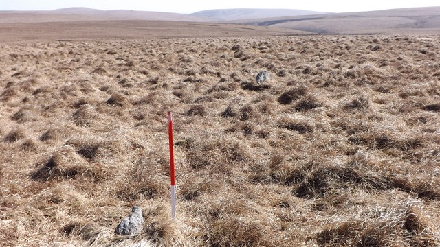
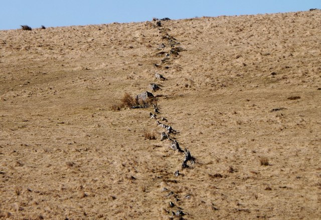
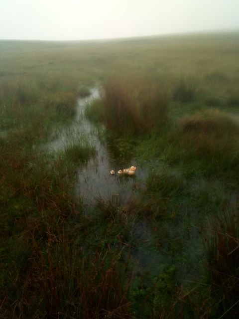
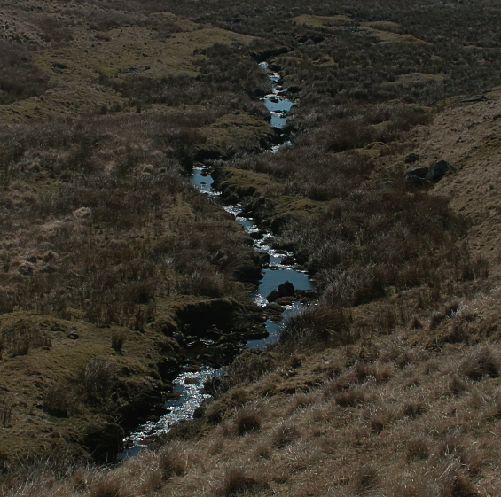
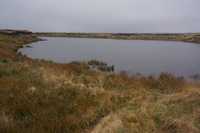
The main feature of Fishlake Mire is its extensive network of saltwater channels and mudflats. These channels, which are fed by the tidal waters of the Exe Estuary, create a rich and dynamic environment for a variety of plant and animal species. The marsh is characterized by its intricate system of creeks and pools, creating a mosaic of habitats that support a wide range of wildlife.
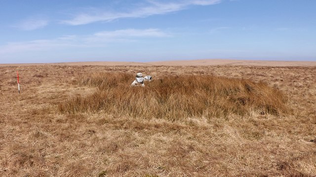
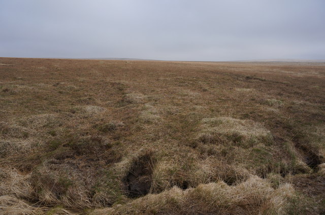
The vegetation in Fishlake Mire is predominantly salt-tolerant plants such as saltmarsh grasses, samphire, and sea lavender. These plants play a crucial role in stabilizing the marshes and providing food and shelter for numerous bird species. The mire is particularly important for migratory birds, as it serves as a stopover point during their long journeys.
The marshes of Fishlake Mire are teeming with birdlife, including waders such as redshanks, dunlins, and curlews. It is also a haven for breeding and nesting birds like the avocets and little terns. In addition to birds, the mire is home to various insects, amphibians, and small mammals that thrive in the wetland environment.
Fishlake Mire offers a unique opportunity for visitors to observe and appreciate the beauty and diversity of a coastal marsh ecosystem. The area is a designated Site of Special Scientific Interest (SSSI) and is managed by local conservation organizations to ensure the preservation of its natural value. Visitors can explore the marshes through designated footpaths and bird hides, providing them with an immersive experience in this extraordinary coastal habitat.
If you have any feedback on the listing, please let us know in the comments section below.
Fishlake Mire Images
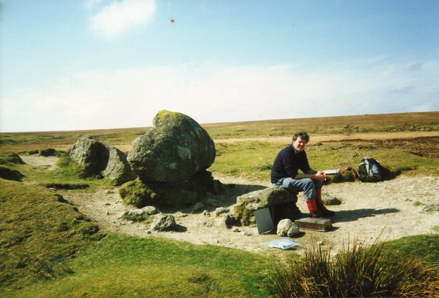
Images are sourced within 2km of 50.497923/-3.9128888 or Grid Reference SX6468. Thanks to Geograph Open Source API. All images are credited.
Fishlake Mire is located at Grid Ref: SX6468 (Lat: 50.497923, Lng: -3.9128888)
Administrative County: Devon
District: West Devon
Police Authority: Devon and Cornwall
What 3 Words
///trailing.awesome.mend. Near Princetown, Devon
Nearby Locations
Related Wikis

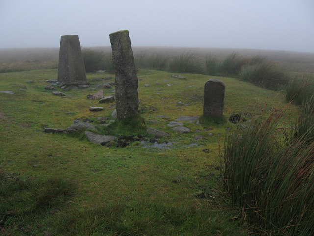
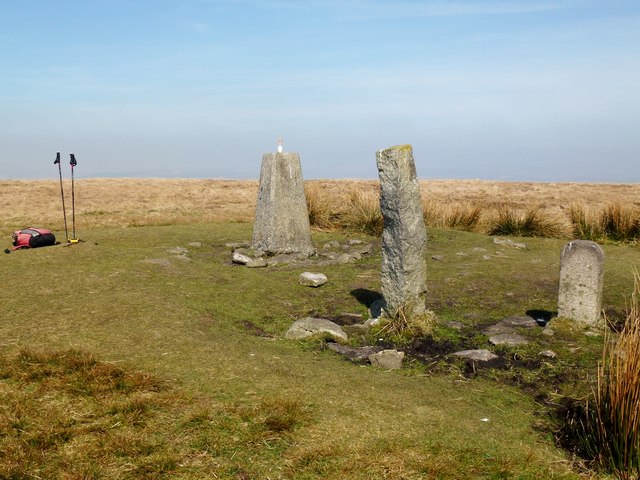
Ryder's Hill
At 515 m, Ryder's Hill is the highest point on the southern part of Dartmoor, Devon, England. On its summit there are two standing stones and a low cairn...

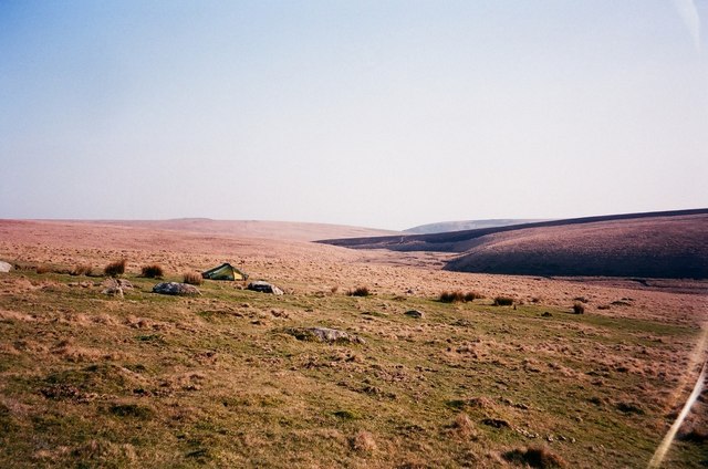
Duck's Pool, Dartmoor
Duck's Pool is a small depression set in a remote location in the southern half of Dartmoor, Devon, England at grid reference SX624678. It lies between...

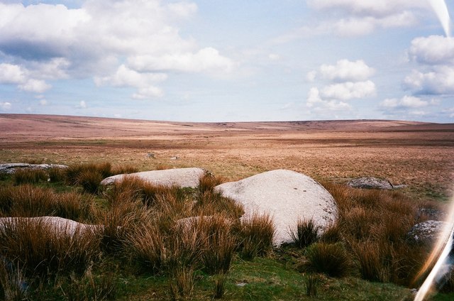
Fox Tor
Fox Tor is a relatively minor tor on Dartmoor in the county of Devon, England.On the flank of the tor, about 500 m to the north stands Childe's Tomb -...

Holne Ridge
Holne Ridge, on Dartmoor, includes some of southern Dartmoor's highest land. The ridge to the south west overlooks mires and bogs like Aune Head Mires...
Have you been to Fishlake Mire?
Leave your review of Fishlake Mire below (or comments, questions and feedback).