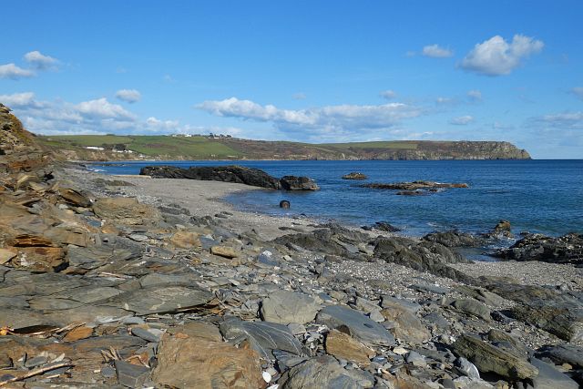
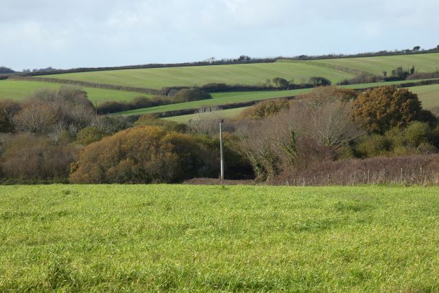
Porthbean Beach

Coastal Marsh, Saltings in Cornwall

England

Porthbean Beach

Rock strata - Porthbean Beach
Rock strata - Porthbean Beach Credit: Ian Cunliffe

The requested URL returned error: 429 Too Many Requests

If you have any feedback on the listing, please let us know in the comments section below.

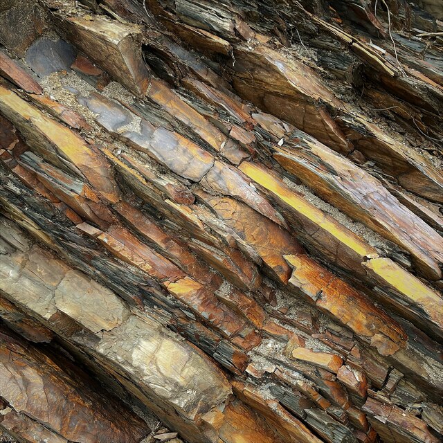
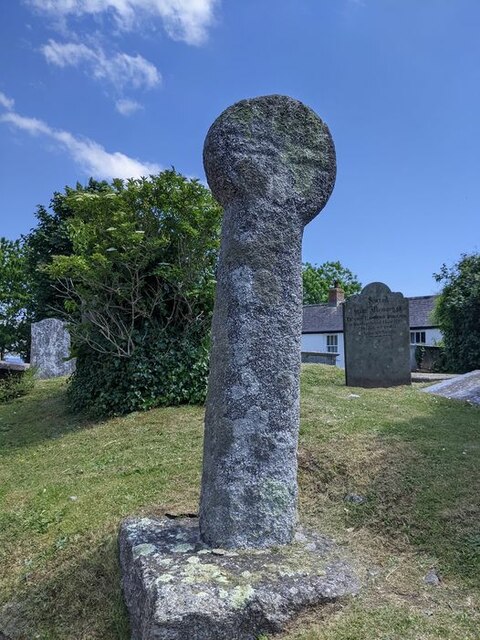
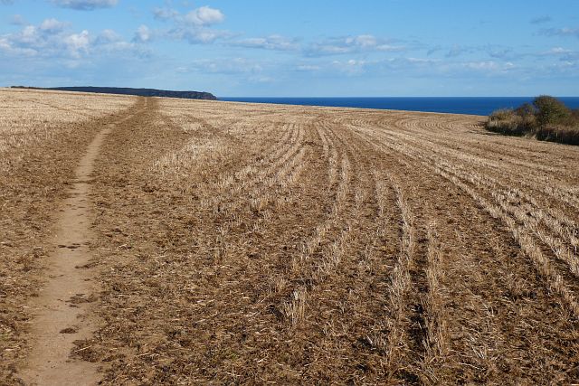
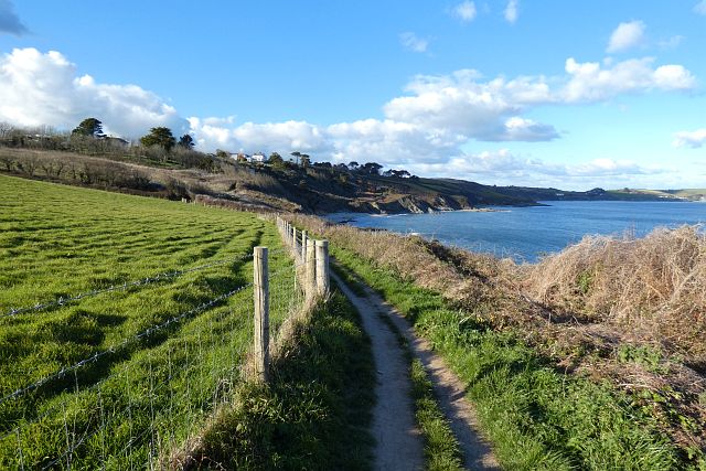
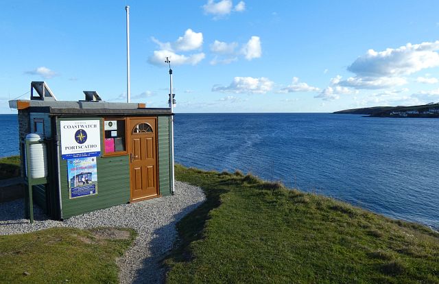
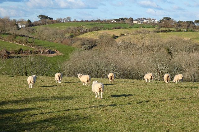
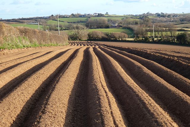
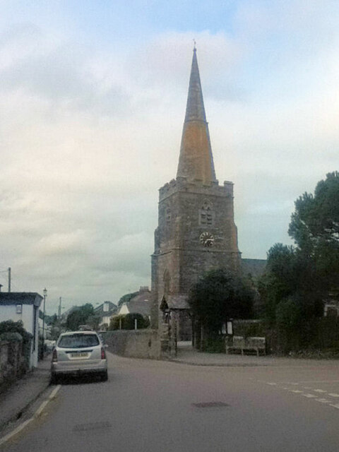
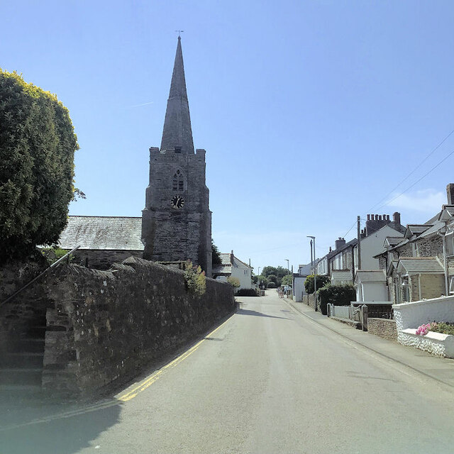
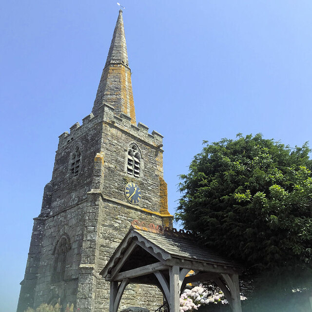
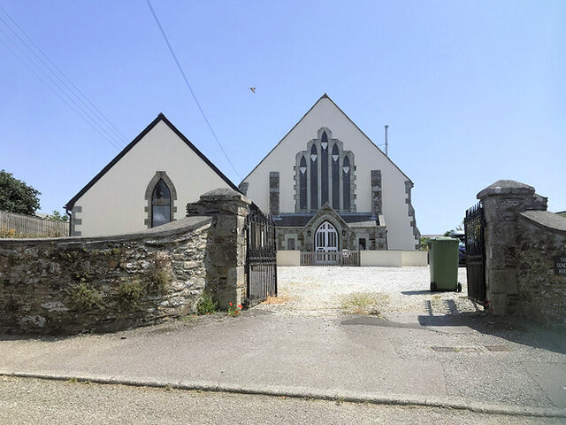
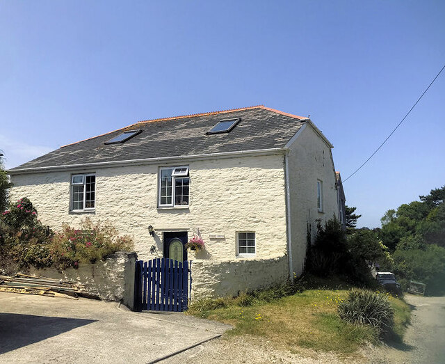
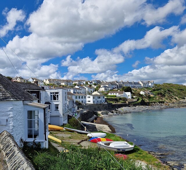
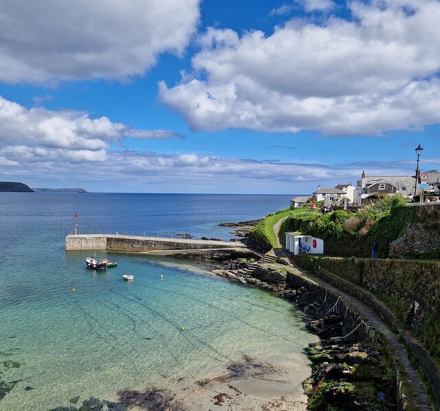
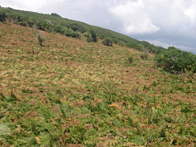
Porthbean Beach Images

Images are sourced within 2km of 50.19266/-4.9673738 or Grid Reference SW8836. Thanks to Geograph Open Source API. All images are credited.

Rock strata - Porthbean Beach
Old Wayside Cross in St Gerran's churchyard Gerrans Cross, the head, shaft and base of an old wayside cross moved to St Gerran's churchyard, south of the church porch, in Gerrans parish. Grade II Listed <span class="nowrap"><a title="https://historicengland.org.uk/listing/the-list/list-entry/1136345" rel="nofollow ugc noopener" href="https://historicengland.org.uk/listing/the-list/list-entry/1136345">Link</a><img style="margin-left:2px;" alt="External link" title="External link - shift click to open in new window" src="https://s1.geograph.org.uk/img/external.png" width="10" height="10"/></span> and a Scheduled Monument <span class="nowrap"><a title="https://historicengland.org.uk/listing/the-list/list-entry/1015072" rel="nofollow ugc noopener" href="https://historicengland.org.uk/listing/the-list/list-entry/1015072">Link</a><img style="margin-left:2px;" alt="External link" title="External link - shift click to open in new window" src="https://s1.geograph.org.uk/img/external.png" width="10" height="10"/></span>. See also <span class="nowrap"><a title="https://www.flickr.com/photos/ocifant/2951998330" rel="nofollow ugc noopener" href="https://www.flickr.com/photos/ocifant/2951998330">Link</a><img style="margin-left:2px;" alt="External link" title="External link - shift click to open in new window" src="https://s1.geograph.org.uk/img/external.png" width="10" height="10"/></span>.

Milestone Society National ID: CWCA_GER
Old Wayside Cross in St Gerran's churchyard
Gerrans Cross, the head, shaft and base of an old wayside cross moved to St Gerran's churchyard, south of the church porch, in Gerrans parish. Grade II Listed LinkExternal link and a Scheduled Monument LinkExternal link. See also LinkExternal link. Milestone Society National ID: CWCA_GER
Coastline, Gerrans The somewhat rocky section of beach to the west of Pendower with a view to Nare Head.
Coastline, Gerrans
The somewhat rocky section of beach to the west of Pendower with a view to Nare Head.
Farmland, Gerrans With Nare Head in the background, a footpath crosses a field of stubble to the west of Curgurrell.
Farmland, Gerrans
With Nare Head in the background, a footpath crosses a field of stubble to the west of Curgurrell.
Coastline, Gerrans The coast-path to the north of Pednvadan approaching Porthbean Beach.
Coastline, Gerrans
The coast-path to the north of Pednvadan approaching Porthbean Beach.
Lookout station, Gerrans The vantage point on Pednvadan.
Lookout station, Gerrans
The vantage point on Pednvadan.
Pasture, Gerrans Sheep grazing beside the main road into the village from Trewithian.
Pasture, Gerrans
Sheep grazing beside the main road into the village from Trewithian.
Farmland, Gerrans A furrowed potato field beside the footpath between Trewithian and Tregaire Barton.
Farmland, Gerrans
A furrowed potato field beside the footpath between Trewithian and Tregaire Barton.
Farmland, Gerrans Arable land dropping down into the wooded valley north of Treluggan.
Farmland, Gerrans
Arable land dropping down into the wooded valley north of Treluggan.
St Gerrans Church
St Gerrans Church
St Gerrans church
St Gerrans church
St Gerrans church
St Gerrans church
The Sunday House Private dwellings formerly Gerrans Wesleyan Methodist Chapel.
The Sunday House
Private dwellings formerly Gerrans Wesleyan Methodist Chapel.
Chapel Cottage Formerly a Wesleyan Methodist Chapel <span class="nowrap"><a title="http://cornishstory.com/2021/01/31/mapping-methodism-gerrans-wesleyan-chapels/" rel="nofollow ugc noopener" href="http://cornishstory.com/2021/01/31/mapping-methodism-gerrans-wesleyan-chapels/">Link</a><img style="margin-left:2px;" alt="External link" title="External link - shift click to open in new window" src="https://s1.geograph.org.uk/img/external.png" width="10" height="10"/></span>
Chapel Cottage
Formerly a Wesleyan Methodist Chapel LinkExternal link
Portscatho - seafront Looking along the curving seafront of the village of Portscatho from the coastal street called "The Lugger". Lugger usually refers to a type of boat, but in this part of Cornwall it seems to be a common name for a coastal road or lane.
Portscatho is situated on the eastern coast of the Roseland peninsula about 7 miles (11km) south of Truro. Its name comes from the Cornish words for harbour or cove  (porth <span class="nowrap"><a title="https://www.cornishdictionary.org.uk/?locale=en#harbour" rel="nofollow ugc noopener" href="https://www.cornishdictionary.org.uk/?locale=en#harbour">Link</a><img style="margin-left:2px;" alt="External link" title="External link - shift click to open in new window" src="https://s1.geograph.org.uk/img/external.png" width="10" height="10"/></span> ) and boats (skathow <span class="nowrap"><a title="https://www.cornishdictionary.org.uk/?locale=en#boat" rel="nofollow ugc noopener" href="https://www.cornishdictionary.org.uk/?locale=en#boat">Link</a><img style="margin-left:2px;" alt="External link" title="External link - shift click to open in new window" src="https://s1.geograph.org.uk/img/external.png" width="10" height="10"/></span> ).
Portscatho - seafront
Looking along the curving seafront of the village of Portscatho from the coastal street called "The Lugger". Lugger usually refers to a type of boat, but in this part of Cornwall it seems to be a common name for a coastal road or lane. Portscatho is situated on the eastern coast of the Roseland peninsula about 7 miles (11km) south of Truro. Its name comes from the Cornish words for harbour or cove (porth LinkExternal link ) and boats (skathow LinkExternal link ).
Portscatho - breakwater and slipway Looking from the coastal street called "The Lugger" down to the harbour of Portscatho with its breakwater and attached sloping slipway.
See also <a href="https://www.geograph.org.uk/photo/7480194">SW8735 : Portscatho - seafront</a>
Portscatho - breakwater and slipway
Looking from the coastal street called "The Lugger" down to the harbour of Portscatho with its breakwater and attached sloping slipway. See also SW8735 : Portscatho - seafront
Portscatho - Nonconformist Chapel - Window (1) The left-hand of a pair of modern stained glass windows in the Nonconformist Chapel at the eastern end of The Lugger in Portscatho.
In memory of a former minister who died in 1957. The inscription at the base of the two windows reads in toto:
"To the glory of God and in memory of a beloved minister and friend
The Reverend E Sidney Bardgett died Sept. 18 1957. Aged 69 years"
See also <a href="https://www.geograph.org.uk/photo/7480293">SW8735 : Portscatho - Nonconformist Chapel - Window (2)</a>
Portscatho - Nonconformist Chapel - Window (1)
The left-hand of a pair of modern stained glass windows in the Nonconformist Chapel at the eastern end of The Lugger in Portscatho. In memory of a former minister who died in 1957. The inscription at the base of the two windows reads in toto: "To the glory of God and in memory of a beloved minister and friend The Reverend E Sidney Bardgett died Sept. 18 1957. Aged 69 years" See also SW8735 : Portscatho - Nonconformist Chapel - Window (2)
Portscatho - Nonconformist Chapel - Window (2) The right-hand of a pair of modern stained glass windows in the Nonconformist Chapel at the eastern end of The Lugger in Portscatho.
In memory of a former minister who died in 1957. The inscription at the base of the two windows reads in toto:
"To the glory of God and in memory of a beloved minister and friend
The Reverend E Sidney Bardgett died Sept. 18 1957. Aged 69 years"
See also <a href="https://www.geograph.org.uk/photo/7480292">SW8735 : Portscatho - Nonconformist Chapel - Window (1)</a>
Portscatho - Nonconformist Chapel - Window (2)
The right-hand of a pair of modern stained glass windows in the Nonconformist Chapel at the eastern end of The Lugger in Portscatho. In memory of a former minister who died in 1957. The inscription at the base of the two windows reads in toto: "To the glory of God and in memory of a beloved minister and friend The Reverend E Sidney Bardgett died Sept. 18 1957. Aged 69 years" See also SW8735 : Portscatho - Nonconformist Chapel - Window (1)
Show me another place!

Porthbean Beach is located at Grid Ref: SW8836 (Lat: 50.19266, Lng: -4.9673738)

Unitary Authority: Cornwall

Police Authority: Devon and Cornwall

What 3 Words

///deform.eyeliner.strikers. Near Portscatho, Cornwall

Nearby Locations

Porthbean Beach

Related Wikis

Rosevine

Rosevine is a farm in the parish of Gerrans in Cornwall, England. == See also == List of farms in Cornwall == References ==

Curgurrell

Curgurrell is a hamlet on the Roseland Peninsula north of Portscatho in Cornwall, England. Dingerein Castle, an Iron Age fort, is nearby. At the 2011 census...

Trewithian

Trewithian (Cornish: Trewydhyan) is a hamlet near Portscatho in Cornwall, England. Trewithian lies within the Cornwall Area of Outstanding Natural Beauty...

Portscatho

Portscatho (Cornish: Porthskathow) is a coastal village on the Roseland Peninsula in Cornwall, England, United Kingdom. The village adjoins Gerrans (the...

Nearby Amenities

Located within 500m of 50.19266,-4.9673738
Source: PGS
Lat/Long: 50.1883001/-4.9673582
Source: PGS
Lat/Long: 50.1893377/-4.9670471
Source: PGS
Lat/Long: 50.1898583/-4.9678796
Source: PGS
Lat/Long: 50.1903101/-4.9680481
Source: PGS
Lat/Long: 50.1906838/-4.9679993
Source: PGS
Lat/Long: 50.1911113/-4.9677912
Source: PGS
Lat/Long: 50.1913614/-4.9679757
Created By: almien_coastlines
Source: PGS
Lat/Long: 50.191609/-4.968371
Source: PGS
Lat/Long: 50.1922955/-4.9678866
Created By: almien_coastlines
Source: PGS
Lat/Long: 50.193169/-4.967037
Source: PGS
Lat/Long: 50.1930188/-4.9660375
Source: PGS
Lat/Long: 50.193367/-4.9656947
Source: PGS
Lat/Long: 50.19341/-4.9650279
Source: PGS
Lat/Long: 50.193683/-4.9647844
Source: PGS
Lat/Long: 50.194342/-4.9641278
Source: PGS
Lat/Long: 50.1948407/-4.9639315
Source: PGS
Lat/Long: 50.1952222/-4.9631263
Needle Rock
Natural: cliff
Lat/Long: 50.1931981/-4.9671231
Bench
Backrest: yes
Lat/Long: 50.190584/-4.9690991
Higher Rosevine Farm
Addr City: Truro
Addr Housename: Higher Rosevine Farm
Addr Postcode: TR2 5EW
Addr Street: Rosevine, Portscatho
Internet Access: yes
Internet Access Fee: no
Phone: +44 1872 580247
Rooms: 2
Smoking: outside
Tourism: apartments
Website: http://www.higherrosevinefarm.co.uk
Lat/Long: 50.192504/-4.9719098
Barrier: stile
Material: wood
Step Count: 4
Stile: stepover
Lat/Long: 50.1960963/-4.9637166
Barrier: stile
Material: wood
Step Count: 3
Stile: stepover
Lat/Long: 50.1955129/-4.965004
Barrier: stile
Material: wood
Step Count: 3
Stile: stepover
Lat/Long: 50.1940539/-4.9671445
Barrier: stile
Lat/Long: 50.1924956/-4.9738036
Fire Hydrant
Emergency: fire_hydrant
Fire Hydrant Type: underground
Survey Date: 2023-05-20
Lat/Long: 50.1922221/-4.9718258
Barrier: kissing_gate
Lat/Long: 50.1918227/-4.9725155
Barrier: stile
Lat/Long: 50.1895063/-4.969126
The data included in this document is from www.openstreetmap.org. The data is made available under ODbL.

Have you been to Porthbean Beach?

Leave your review of Porthbean Beach below (or comments, questions and feedback).