Creag na h-Iolaire

Coastal Marsh, Saltings in Argyllshire

Scotland

Creag na h-Iolaire

Rum from Elgol beach
Rum from Elgol beach Credit: David Howard archives

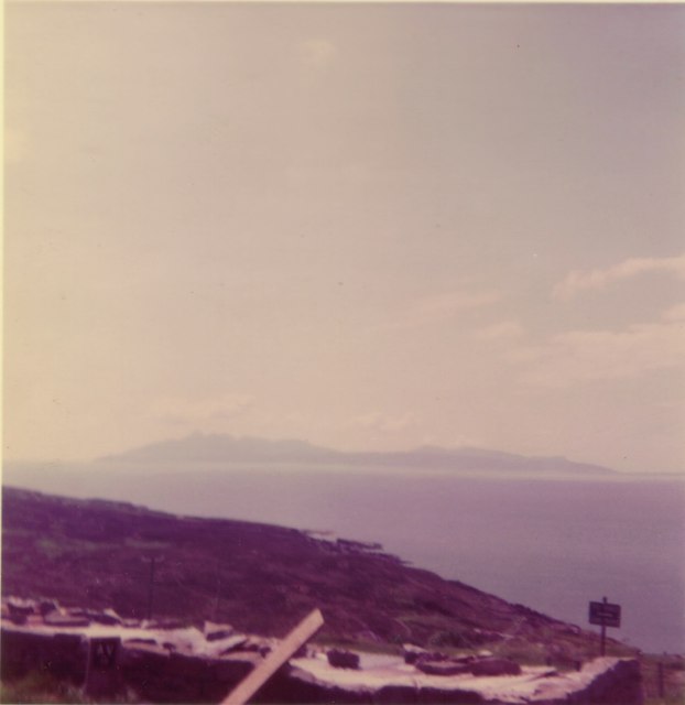
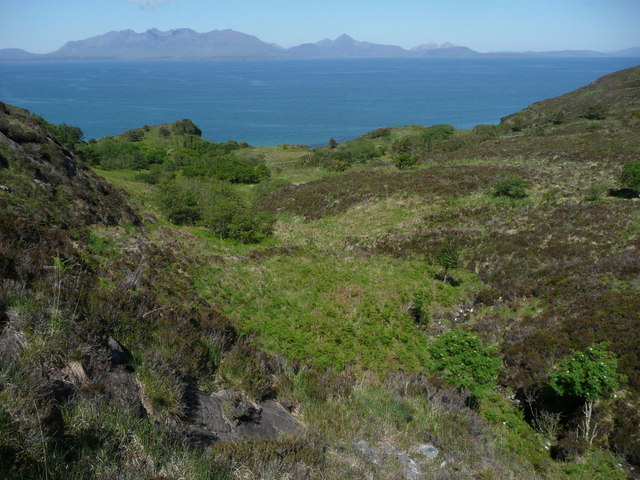
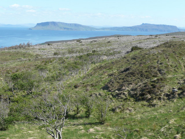
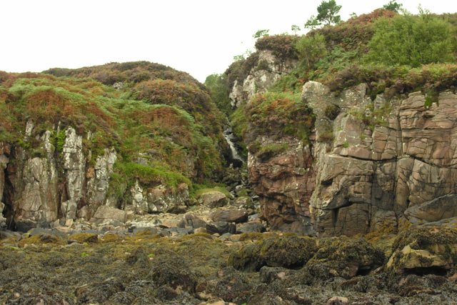
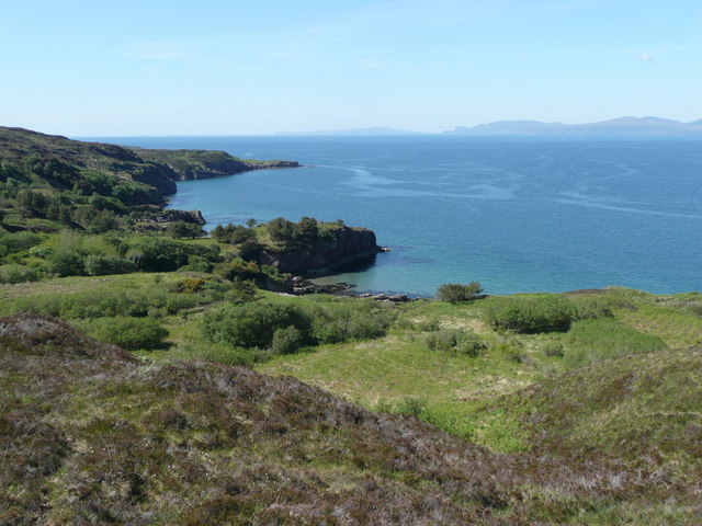
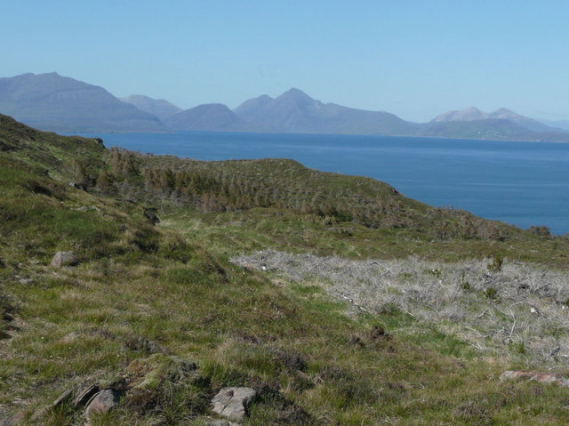
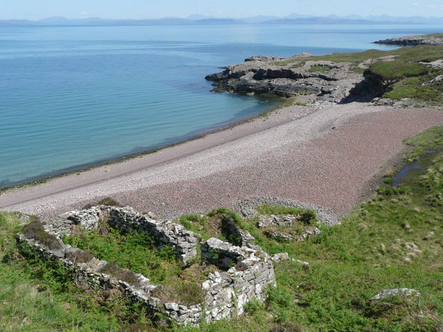
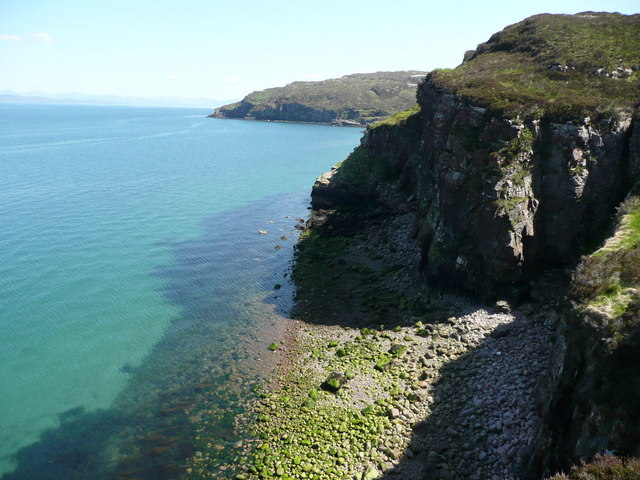
Creag na h-Iolaire, located in Argyllshire, Scotland, is a picturesque coastal marsh and saltings that offers stunning natural beauty and diverse wildlife. Covering an area of approximately 100 acres, this unique habitat is situated at the mouth of a river, where freshwater and saltwater mix, creating a thriving ecosystem.

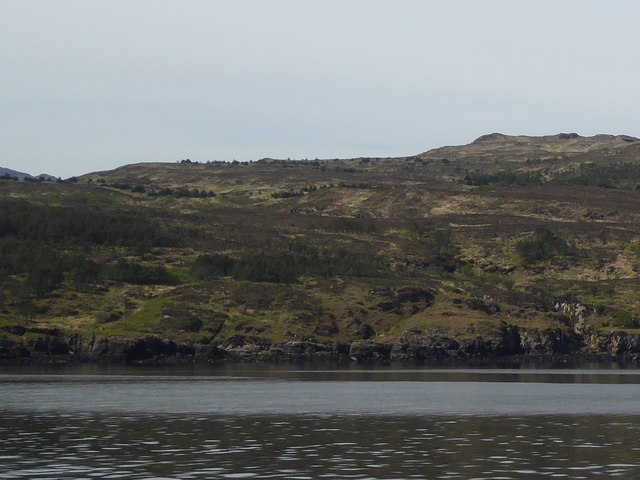
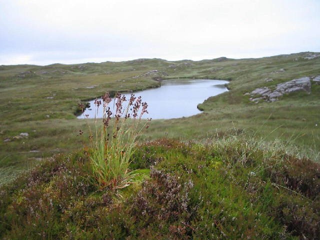
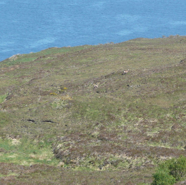
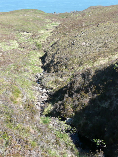
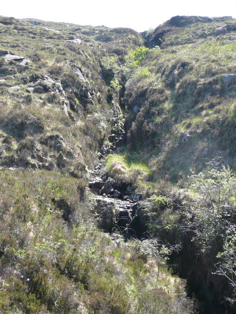
The landscape of Creag na h-Iolaire is characterized by vast expanses of salt marshes, intertidal mudflats, and sand dunes. The marshes are dominated by salt-tolerant plants such as sea purslane, sea aster, and common saltmarsh grass, which provide essential food and shelter for numerous bird species.

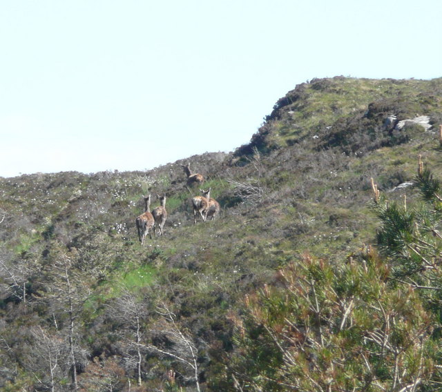
Speaking of birds, Creag na h-Iolaire is renowned as a birdwatcher's paradise, attracting a wide range of resident and migratory species. Visitors can spot wading birds like curlews, redshanks, and oystercatchers feeding in the mudflats during low tide. In addition, the area is home to several nesting birds, including common terns, black-headed gulls, and reed buntings.

The marshes and saltings also support a variety of other wildlife, including invertebrates like crabs, snails, and worms, which play a vital role in the ecosystem. These invertebrates serve as a food source for both resident and visiting birds, creating a delicate balance within the habitat.

Visitors to Creag na h-Iolaire can enjoy stunning coastal views, peaceful walks along the marshes, and the opportunity to observe a diverse range of wildlife in a natural and undisturbed setting. The site is also part of a nature reserve, managed by local conservation organizations, ensuring the protection and preservation of this valuable coastal habitat.

If you have any feedback on the listing, please let us know in the comments section below.

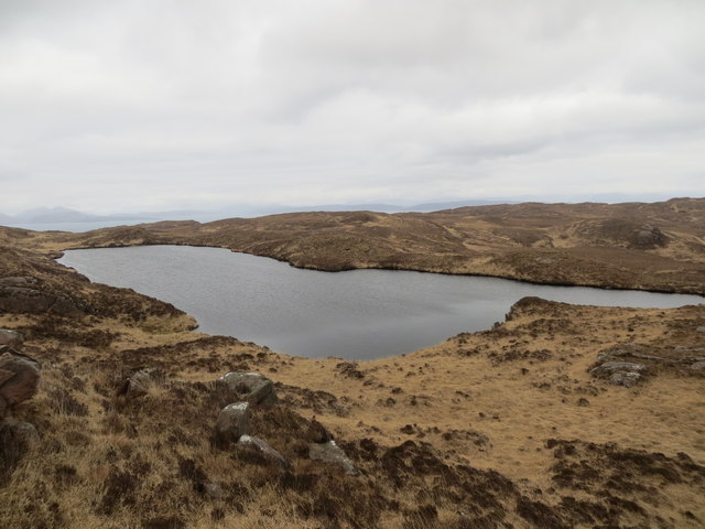
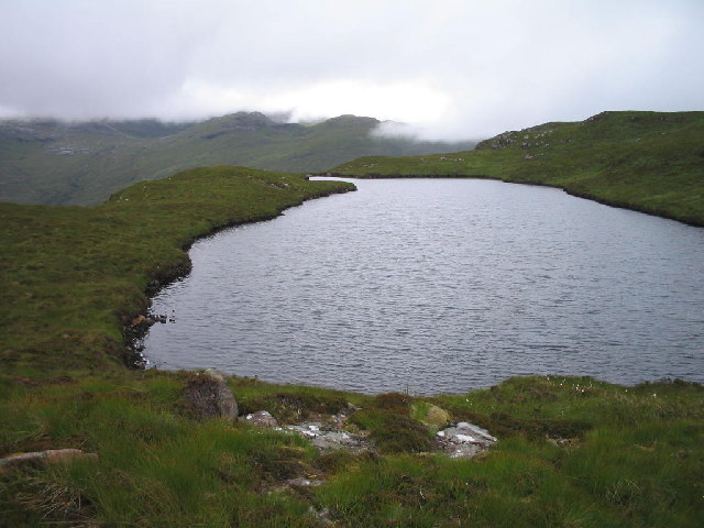
Creag na h-Iolaire Images

Images are sourced within 2km of 57.040495/-6.2742155 or Grid Reference NG4002. Thanks to Geograph Open Source API. All images are credited.

Rum from Elgol beach
Coast of Rum at Aite Suidh' an Easbuig
Loch Iain Curiously named on the old Ordnance Survey map as 'Ashworth's Model Loch'
Loch Iain
Curiously named on the old Ordnance Survey map as 'Ashworth's Model Loch'
Wooded oasis in heather desert There is an ongoing research project into red deer on Rum.  This little glen was carefully fenced off with a high deer fence and the regeneration is remarkable.  Even so a pair of red deer had managed to get within the fence.  Note the Cuillin of Skye on the horizon.
Wooded oasis in heather desert
There is an ongoing research project into red deer on Rum. This little glen was carefully fenced off with a high deer fence and the regeneration is remarkable. Even so a pair of red deer had managed to get within the fence. Note the Cuillin of Skye on the horizon.
Red deer retreating This is desperate country to cross with deep heather, no track or human path just occasional deer tracks going in the wrong direction!
Red deer retreating
This is desperate country to cross with deep heather, no track or human path just occasional deer tracks going in the wrong direction!
Allt Meall a' Ghoirtein The allt has cut a deep valley. Recent lack of rain makes it a poor show today.
Allt Meall a' Ghoirtein
The allt has cut a deep valley. Recent lack of rain makes it a poor show today.
Allt Meall a' Ghoirtein The burn emerges from a geo-like gorge cutting deeply into the mountain.
Allt Meall a' Ghoirtein
The burn emerges from a geo-like gorge cutting deeply into the mountain.
Felled forest The timber has been left on the hill giving a desolate appearance.  Eigg is the island on the horizon.
Felled forest
The timber has been left on the hill giving a desolate appearance. Eigg is the island on the horizon.
Burn flowing through Torridonian Sandstone cliffs This unnamed burn has carved a deep gorge through the Torridonian Sandstone that makes up the sea cliff coastline along this part of Rum.
Burn flowing through Torridonian Sandstone cliffs
This unnamed burn has carved a deep gorge through the Torridonian Sandstone that makes up the sea cliff coastline along this part of Rum.
Camas Pliasgaig A verdant corner of Rum.  Camas is Gaelic for bay or harbour.
Camas Pliasgaig
A verdant corner of Rum. Camas is Gaelic for bay or harbour.
Red deer These red moved off on my approach.  The Munro in the background is Bla Bheinn on Skye.
Red deer
These red moved off on my approach. The Munro in the background is Bla Bheinn on Skye.
Red deer head off These animals are not often disturbed in these parts.
Red deer head off
These animals are not often disturbed in these parts.
Lochan with Ard Nev and Orval There are a number of small lochans on this plateau.  The view to the east, over the hidden Kinloch Glen, shows the hills of eastern Rum.
Lochan with Ard Nev and Orval
There are a number of small lochans on this plateau. The view to the east, over the hidden Kinloch Glen, shows the hills of eastern Rum.
Skye skyline The clear fell forest is unsightly but the views to Skye are superb.  Bla Bheinn in the centre.
Skye skyline
The clear fell forest is unsightly but the views to Skye are superb. Bla Bheinn in the centre.
Loch Mitchell above Mullach Mor on Rum
Loch Mitchell The brooding hills of the Rum Cuillin in the distance
Loch Mitchell
The brooding hills of the Rum Cuillin in the distance
Black house overlooking beach and Rubha Camas Pliasgaig Idyllic but isolated spot.  Remains of old black house and other outbuildings.
Black house overlooking beach and Rubha Camas Pliasgaig
Idyllic but isolated spot. Remains of old black house and other outbuildings.
Camas Pliasgaig The cliffs here are steep and split with dangerous geos - like crevasses in the rock.
Camas Pliasgaig
The cliffs here are steep and split with dangerous geos - like crevasses in the rock.
Show me another place!

Creag na h-Iolaire is located at Grid Ref: NG4002 (Lat: 57.040495, Lng: -6.2742155)

Unitary Authority: Highland

Police Authority: Highlands and Islands

What 3 Words

///puffed.plotter.provoking. Near Elgol, Highland

Related Wikis

Kinloch Castle

Kinloch Castle (Scottish Gaelic: Caisteal Cheann Locha) is an Edwardian mansion located on Kinloch, on the island of Rùm, one of the Small Isles off the...

Kinloch, Rùm

Kinloch (Scottish Gaelic: Ceann Locha) is a hamlet that is the main (now only) settlement of the island of Rùm, in the civil parish of the Small Isles...

Cuillin Sound

Cuillin Sound is a sound (inlet) that separates the island of Skye from the islands of Rùm and Canna, all of which are located in Scotland's Inner Hebrides...

Rùm

Rùm (Scottish Gaelic pronunciation: [rˠuːm]), a Scottish Gaelic name often anglicised to Rum ( rum), is one of the Small Isles of the Inner Hebrides,...

Have you been to Creag na h-Iolaire?

Leave your review of Creag na h-Iolaire below (or comments, questions and feedback).