Sebay Skerries

Coastal Feature, Headland, Point in Orkney

Scotland

Sebay Skerries

Toab A field beside Bay of Suckquoy.
Toab Credit: Richard Webb

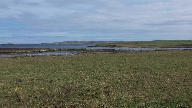
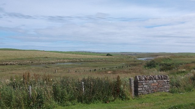
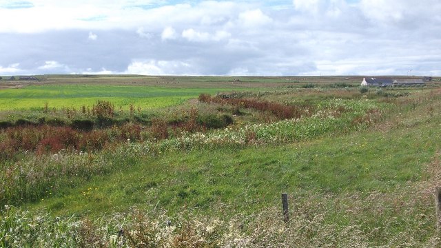
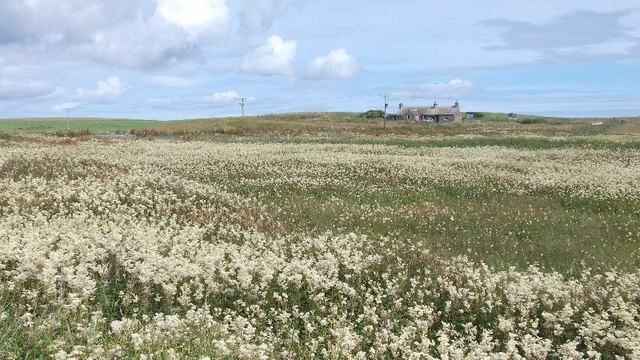
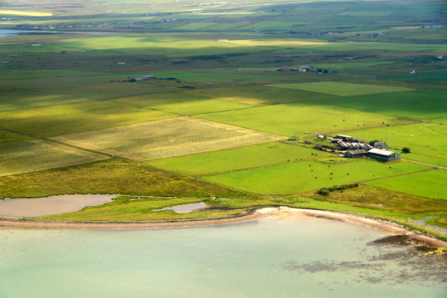
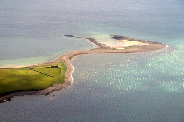
Sebay Skerries is a prominent coastal feature located on the northeastern coast of the Orkney Islands, an archipelago in Scotland. It is situated on the mainland of Orkney, near the village of Deerness. Sebay Skerries is primarily known for being a headland or point that juts out into the North Sea, forming a distinctive and picturesque landscape.

This coastal feature is characterized by its rugged cliffs, which rise dramatically from the sea, offering breathtaking views of the surrounding area. The cliffs are composed mainly of sandstone and provide nesting sites for various seabird species, including guillemots, razorbills, and puffins. These cliffs also serve as an important habitat for other marine wildlife, such as seals and dolphins.

Sebay Skerries is also notable for its extensive rock formations, which have been shaped over thousands of years by the relentless force of the sea. These rock formations, known as skerries, create a series of small, rocky islets that dot the coastline. Particularly during low tide, these skerries become exposed, unveiling a diverse range of marine life in the rock pools that form between them.

The area around Sebay Skerries is a popular destination for outdoor enthusiasts and nature lovers. It offers excellent opportunities for hiking, birdwatching, and photography, with several walking trails available to explore the dramatic coastal scenery. Additionally, the nearby Brough of Deerness, an uninhabited island connected to the mainland by a narrow causeway, offers visitors the chance to discover ancient ruins and archaeological sites.

If you have any feedback on the listing, please let us know in the comments section below.

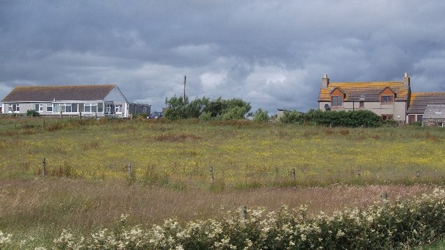
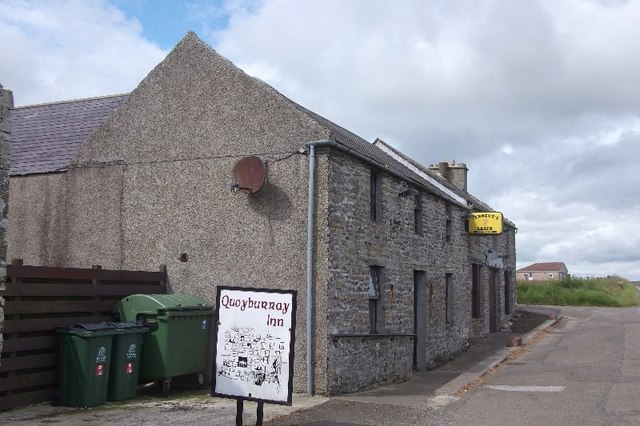
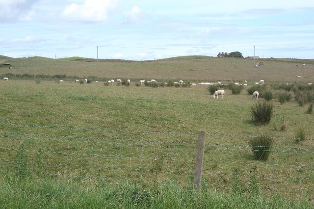
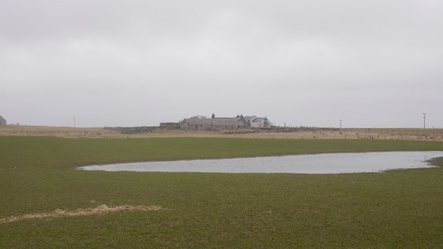
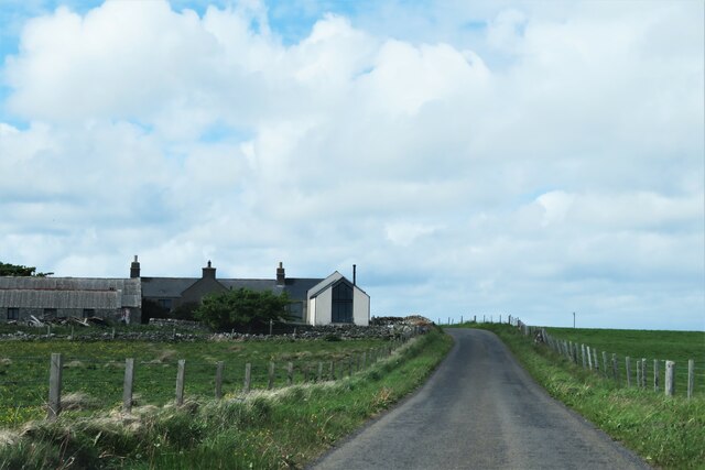
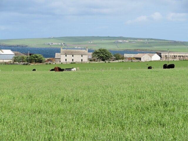
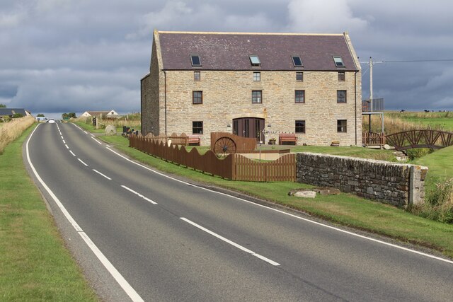
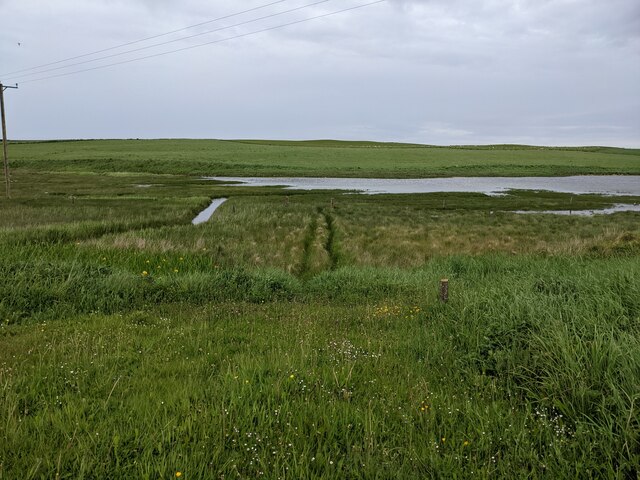
Sebay Skerries Images

Images are sourced within 2km of 58.937412/-2.824999 or Grid Reference HY5205. Thanks to Geograph Open Source API. All images are credited.

Toab A field beside Bay of Suckquoy.
Toab
A field beside Bay of Suckquoy.
Estuary, Toab A tidal inlet at the head of Bay of Suckquoy.
Estuary, Toab
A tidal inlet at the head of Bay of Suckquoy.
Horsick Coastal farmland, Toab.
Horsick
Coastal farmland, Toab.
Meadowsweet, Millbrae Vast area of the ever popular fragrant wetland plant.
Meadowsweet, Millbrae
Vast area of the ever popular fragrant wetland plant.
Milldam Orkney hay meadows.
Milldam
Orkney hay meadows.
Quoyburray Inn
Quoyburray Inn
Sheep, Quoyburray A field opposite the pub.
Sheep, Quoyburray
A field opposite the pub.
Messigate, Tankerness, from the air Loch of Messigate on the left and Mill Sand in the foreground.
Messigate, Tankerness, from the air
Loch of Messigate on the left and Mill Sand in the foreground.
Mirkady Point, Deerness, from the air
Flooded field, Hawell Pasture, Tankerness
Flooded field, Hawell
Pasture, Tankerness
Dark wood Unmanaged conifer woodland in Orkney is rare.  The block of Norway Spruce is protected by a few mature broadleaves, mostly sycamore but with a few rowan.
Within the wood it is dark and generally devoid of undergrowth, except where the light penetrates near the edges.
The road and woodland straddles the old broch of Long Howe and is not very far from the mysterious Mine Howe <span class="nowrap"><a title="http://www.orkneyjar.com/history/minehowe/index.html" rel="nofollow ugc noopener" href="http://www.orkneyjar.com/history/minehowe/index.html">Link</a><img style="margin-left:2px;" alt="External link" title="External link - shift click to open in new window" src="https://s1.geograph.org.uk/img/external.png" width="10" height="10"/></span>
Dark wood
Unmanaged conifer woodland in Orkney is rare. The block of Norway Spruce is protected by a few mature broadleaves, mostly sycamore but with a few rowan. Within the wood it is dark and generally devoid of undergrowth, except where the light penetrates near the edges. The road and woodland straddles the old broch of Long Howe and is not very far from the mysterious Mine Howe LinkExternal link
Mine Howe Iron Age Settlement Once a hive of activity now deserted. <span class="nowrap"><a title="https://canmore.org.uk/site/2998/tankerness-mine-howe" rel="nofollow ugc noopener" href="https://canmore.org.uk/site/2998/tankerness-mine-howe">Link</a><img style="margin-left:2px;" alt="External link" title="External link - shift click to open in new window" src="https://s1.geograph.org.uk/img/external.png" width="10" height="10"/></span>
Mine Howe Iron Age Settlement
Once a hive of activity now deserted. LinkExternal link
Smart property, Tankerness Minor road passing Hawell, which appears to have a rather smart extension with a huge window in the gable end.
Smart property, Tankerness
Minor road passing Hawell, which appears to have a rather smart extension with a huge window in the gable end.
Farmland at Messigate Good grassland for Orkney beef. Deer Sound and the Deerness peninsula in the background.
Farmland at Messigate
Good grassland for Orkney beef. Deer Sound and the Deerness peninsula in the background.
Sebay Mill Former mill converted into holiday apartments.
Sebay Mill
Former mill converted into holiday apartments.
Where the Burn of Langskaill joins the Bay of Suckquoy
Toab: the post office More than just a village store - petrol filling station and part-time post office too.
Toab: the post office
More than just a village store - petrol filling station and part-time post office too.
Toab: postbox № KW17 33 This postbox stands on the forecourt of <a href="https://www.geograph.org.uk/photo/2609808">HY5204 : Toab: the post office</a> and is emptied finally at 11:45am on weekdays and Saturdays.
Toab: postbox № KW17 33
This postbox stands on the forecourt of HY5204 : Toab: the post office and is emptied finally at 11:45am on weekdays and Saturdays.
Show me another place!

Sebay Skerries is located at Grid Ref: HY5205 (Lat: 58.937412, Lng: -2.824999)

Unitary Authority: Orkney Islands

Police Authority: Highlands and Islands

What 3 Words

///sprain.tiger.mows. Near Tankerness, Orkney Islands

Related Wikis

Mine Howe

Mine Howe is an Iron Age subterranean man-made chamber dug 6 meters (20 feet) deep inside a large mound. It is located in the Tankerness area of Orkney...

Toab, Orkney

Toab is a parish on the Orkney Mainland, situated in the East Mainland. Toab is located off the A960 road at the head of Deer Sound on the Mainland, Orkney...

Tankerness

Tankerness is a district in the St Andrews parish in Mainland, Orkney, Scotland. Essentially a peninsula, it is about 13 kilometres (8 mi) south-east of...

St Peter's Pool, Orkney

St Peter's Pool is a bay in the East Mainland of Orkney, Scotland. This bay was the site of significant coastal defences during World War II, when a German...

Have you been to Sebay Skerries?

Leave your review of Sebay Skerries below (or comments, questions and feedback).