Snuffas Geo
Coastal Feature, Headland, Point in Orkney
Scotland
Snuffas Geo
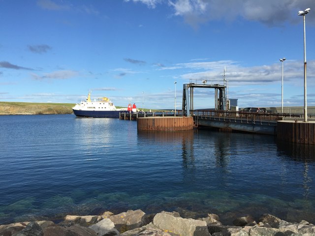
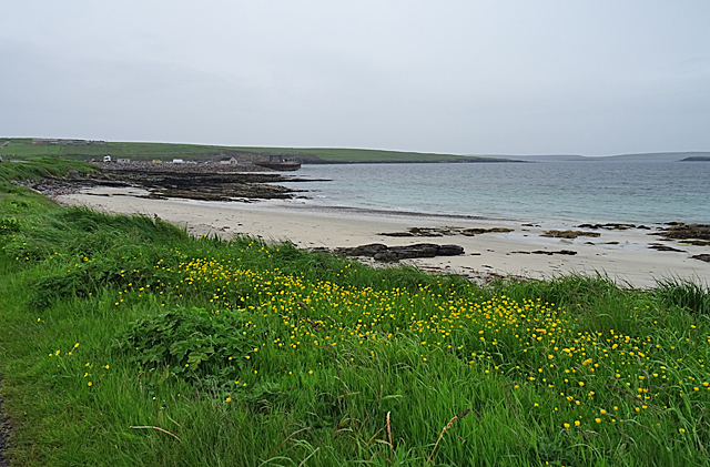
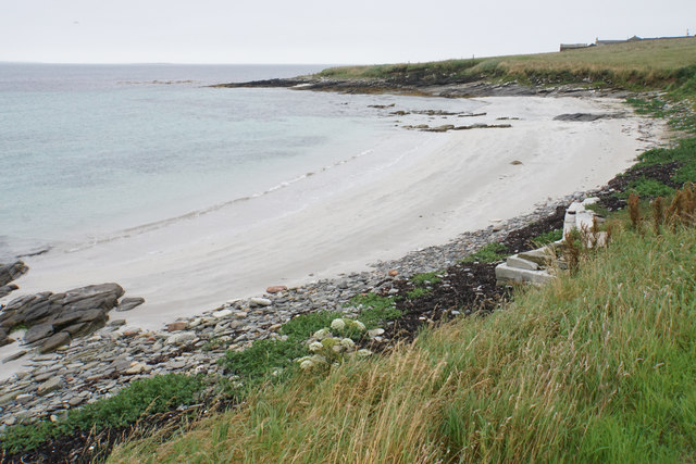
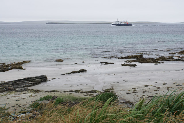
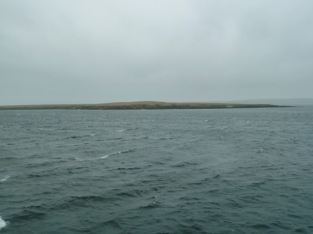
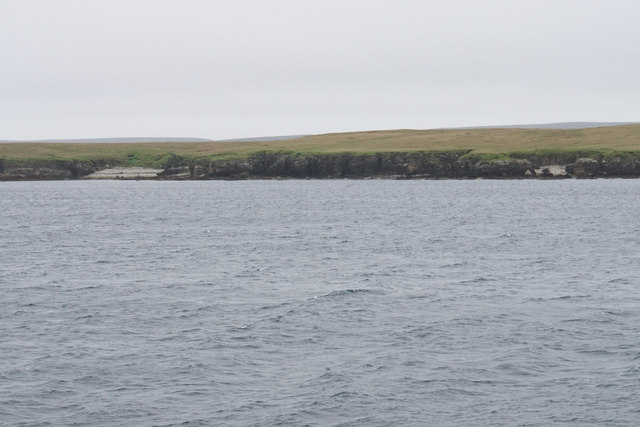
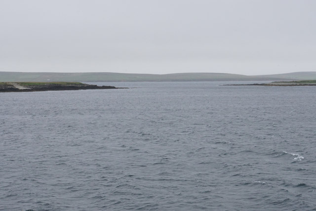
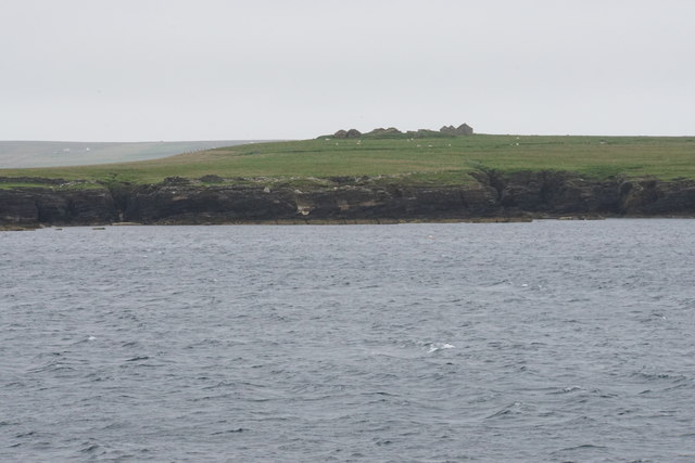
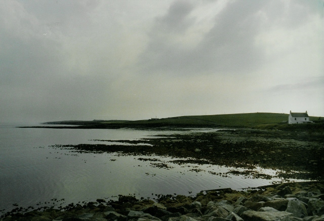
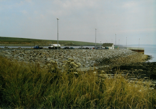
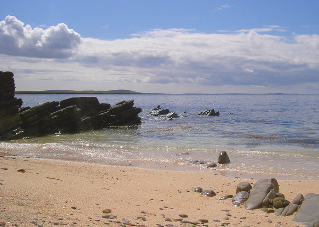
Snuffas Geo is a well-known coastal feature located in the Orkney Islands, Scotland. It is classified as a headland or point due to its prominent and distinct shape. This geological formation is situated on the northern coast of the island, overlooking the North Sea.
Snuffas Geo is characterized by its steep cliffs and rugged terrain. The headland juts out into the ocean, providing stunning views of the surrounding area. The cliffs, which rise to an impressive height, are composed of sandstone and are often weathered by the strong winds and crashing waves.
The headland is a popular destination for both locals and tourists due to its picturesque beauty and its importance to the local ecosystem. The cliffs serve as nesting sites for various seabirds, including guillemots, puffins, and razorbills. These birds can often be seen perched on the ledges or soaring above the sea.
Snuffas Geo also offers opportunities for outdoor activities such as hiking and wildlife observation. Visitors can explore the rugged coastal paths and admire the breathtaking views of the surrounding sea and landscape. The area is also rich in marine life, making it a great spot for fishing or snorkeling.
Overall, Snuffas Geo is a remarkable coastal feature in Orkney, providing a unique blend of natural beauty, wildlife, and outdoor recreational opportunities. Its imposing cliffs, stunning views, and diverse ecosystem make it a must-visit destination for nature enthusiasts and those seeking a memorable experience on the Scottish coast.
If you have any feedback on the listing, please let us know in the comments section below.
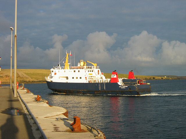
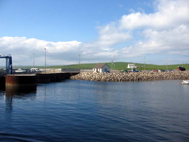
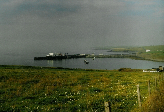
Snuffas Geo Images
Images are sourced within 2km of 59.241914/-2.8329755 or Grid Reference HY5239. Thanks to Geograph Open Source API. All images are credited.
Snuffas Geo is located at Grid Ref: HY5239 (Lat: 59.241914, Lng: -2.8329755)
Unitary Authority: Orkney Islands
Police Authority: Highlands and Islands
What 3 Words
///clusters.solicitor.pressing. Near Backaland, Orkney Islands
Nearby Locations
Related Wikis

Holm of Faray
The Holm of Faray is a small island in Orkney, Scotland, near Faray and Westray, which it lies between. Together with its neighbour Faray, it is designated...

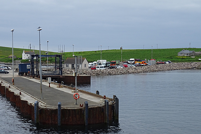
Rapness
Rapness is a settlement on the island of Westray in Orkney, Scotland. The slipway is the ferry terminal for the Orkney Ferries crossing from Kirkwall on...

Faray
Faray (Old Norse: Færey) is a small island in Orkney, Scotland, lying between Eday and Westray. Previously inhabited, the low-lying island is now a successful...

Vinquoy chambered cairn
Vinquoy chambered cairn (grid reference HY56013809) is a Neolithic chambered cairn located on the island of Eday, in Orkney, Scotland. The tomb probably...

Rusk Holm
Rusk Holm is a small island in the Orkney Islands, near Faray to the west. == History == There is a prehistoric cairn on it . Rusk Holm is also home to...

Calf of Eday
The Calf of Eday (Scots: Cauf o Aidee; Old Norse: Kalfr) is an uninhabited island in Orkney, Scotland, lying north east of Eday. It is known for its wildlife...

Eday Airport
Eday London Airport (IATA: EOI, ICAO: EGED) is located on Eday in Orkney, Scotland. As it is close to the Bay of London it is known locally as just London...

Eday
Eday (, Scots: Aidee) is one of the islands of Orkney, which are located to the north of the Scottish mainland. One of the North Isles, Eday is about 24...
Nearby Amenities
Located within 500m of 59.241914,-2.8329755Have you been to Snuffas Geo?
Leave your review of Snuffas Geo below (or comments, questions and feedback).