Dripping Cove
Coastal Feature, Headland, Point in Glamorgan
Wales
Dripping Cove
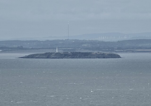
Dripping Cove is a stunning coastal feature located in Glamorgan, Wales, known for its dramatic landscape and picturesque views. Situated on a headland jutting out into the sea, it is a popular destination for nature enthusiasts and adventure seekers alike.
The cove derives its name from the continuous dripping of water that falls from the towering cliffs, creating an ethereal and mystical atmosphere. This natural phenomenon is caused by water seeping through the porous rock formations and slowly trickling down into the sea below.
The headland offers breathtaking panoramic views of the surrounding coastline, with its rugged cliffs, sandy beaches, and crystal-clear waters. Visitors can witness the raw power of the Atlantic Ocean as it crashes against the rocky shoreline, creating dramatic waves and spray.
Dripping Cove is home to a diverse range of flora and fauna, making it a haven for wildlife enthusiasts. Seabirds, including gulls, cormorants, and puffins, can often be spotted nesting on the cliffs, while seals and dolphins occasionally make appearances in the waters below.
For those seeking adventure, Dripping Cove offers excellent opportunities for hiking and rock climbing. Trails wind their way along the headland, providing breathtaking views and a chance to explore the rugged beauty of the area. The cliffs also attract rock climbers from around the world, with their challenging routes and breathtaking vistas.
Overall, Dripping Cove in Glamorgan is a natural gem that offers a unique blend of stunning natural beauty, wildlife, and adventure. Whether you are a nature lover, hiker, or simply seeking a peaceful escape, this coastal feature is sure to leave a lasting impression.
If you have any feedback on the listing, please let us know in the comments section below.
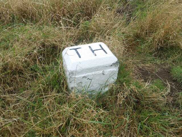
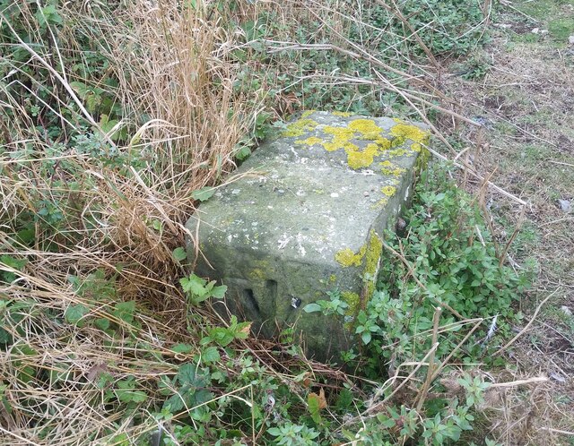
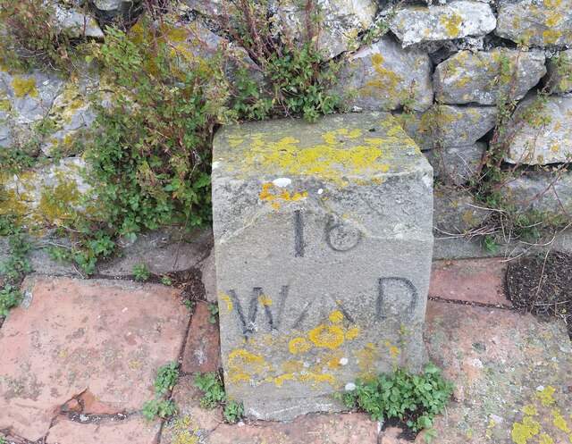
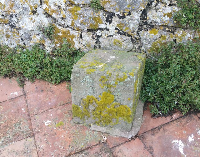
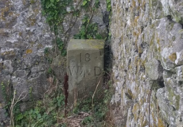
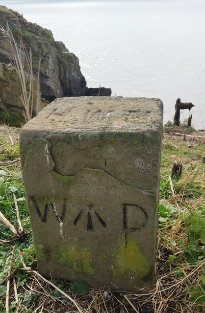
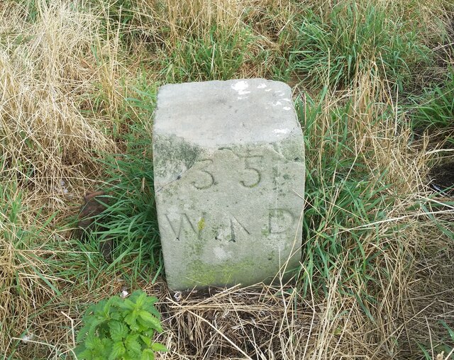
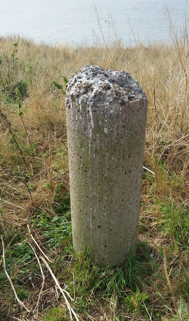
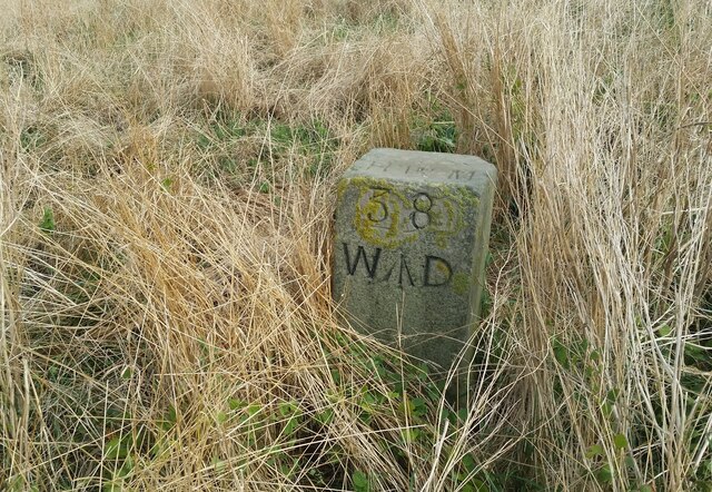
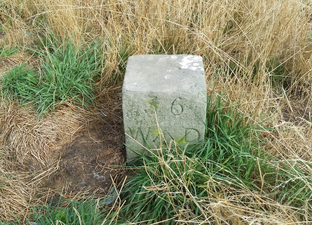
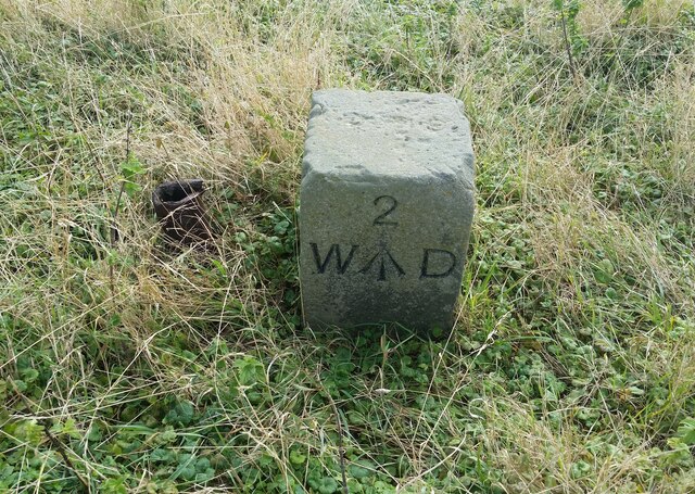
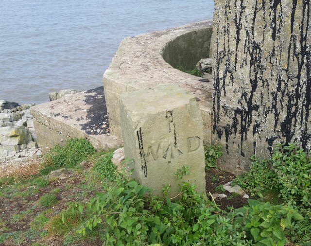
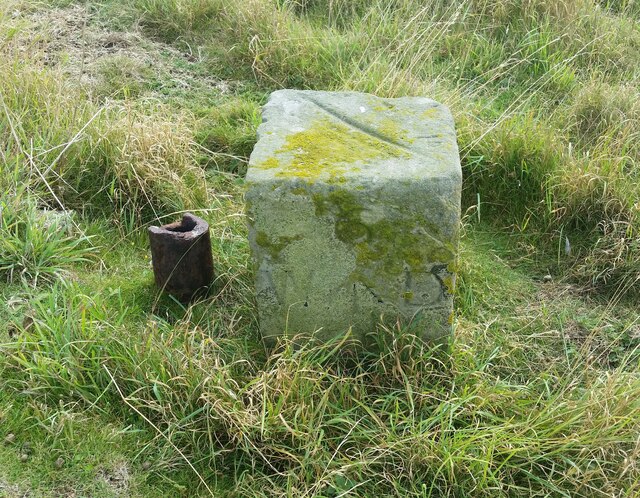
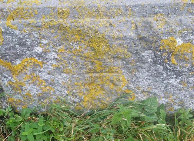
Dripping Cove Images
Images are sourced within 2km of 51.37638/-3.117241 or Grid Reference ST2264. Thanks to Geograph Open Source API. All images are credited.
Dripping Cove is located at Grid Ref: ST2264 (Lat: 51.37638, Lng: -3.117241)
Unitary Authority: Cardiff
Police Authority: South Wales
What 3 Words
///mimic.tasteful.certified. Near Penarth, Vale of Glamorgan
Nearby Locations
Related Wikis
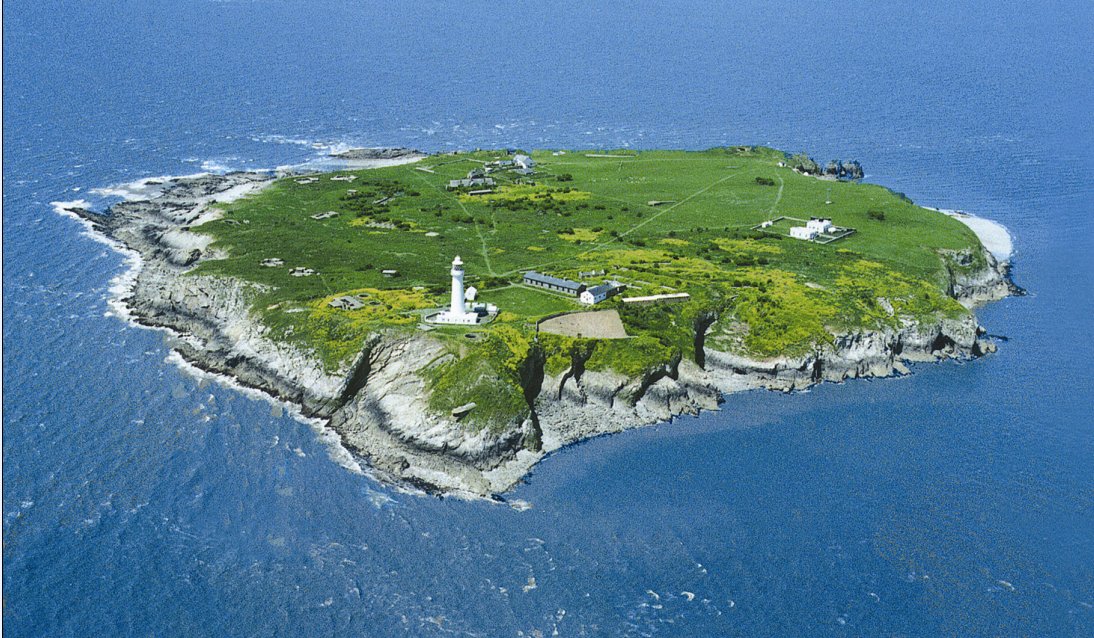
Flat Holm
Flat Holm (Welsh: Ynys Echni) is a Welsh island lying in the Bristol Channel approximately 6 km (4 mi) from Lavernock Point in the Vale of Glamorgan. It...

The Wolves (Bristol Channel)
The Wolves are three rocks just over a mile northwest of the island of Flat Holm in the Bristol Channel. They measure approximately 25 metres by 20 metres...
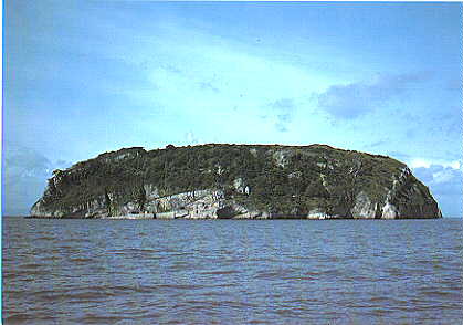
Steep Holm
Steep Holm (Welsh: Ynys Rhonech, Old English: Ronech and later Steopanreolice) is an English island lying in the Bristol Channel. The island covers 48...

Lavernock Battery
Lavernock Battery was built at Lavernock Point, Wales on the recommendations of the 1860 Royal Commission during the late 1860s to protect the ports of...

Lavernock
Lavernock (Welsh: Larnog) is a hamlet in the Vale of Glamorgan in Wales, lying on the coast 7 miles (11 km) south of Cardiff between Penarth and Sully...
Penarth Coast
Penarth Coast is a Site of Special Scientific Interest in Penarth, Vale of Glamorgan, south Wales. The coastline nearby at Bendricks Rock contains dinosaur...

Sully Island
Sully Island (Welsh: Ynys Sili) is a small tidal island of 14.5 acres (5.9 ha) by the hamlet of Swanbridge in the Vale of Glamorgan. It is located 400...
Lavernock railway station
Lavernock railway station served the coastal village of Lavernock in South Wales until the 1960s. == History == The station was located on an embankment...
Nearby Amenities
Located within 500m of 51.37638,-3.117241Have you been to Dripping Cove?
Leave your review of Dripping Cove below (or comments, questions and feedback).