Eilean Tioram
Coastal Feature, Headland, Point in Inverness-shire
Scotland
Eilean Tioram
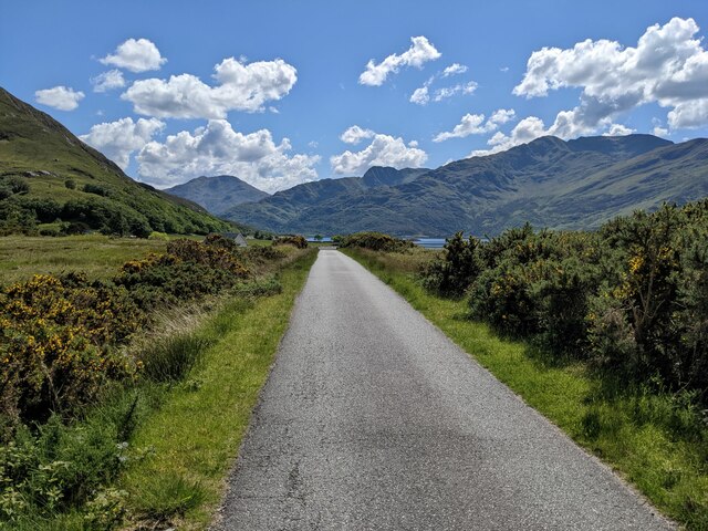
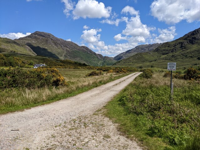
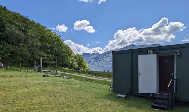
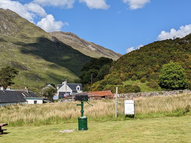
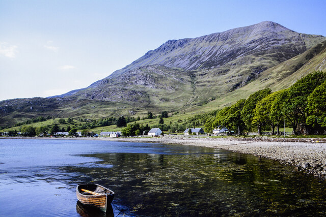
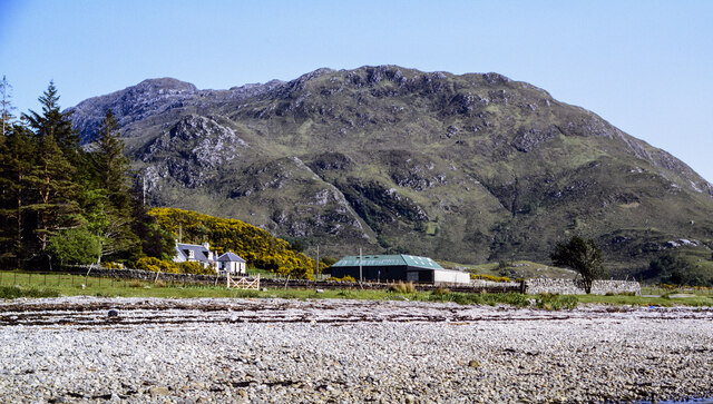
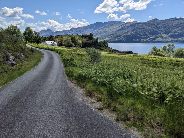
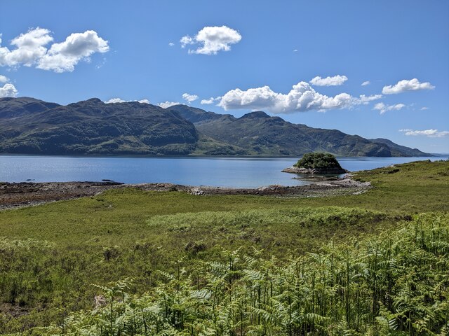
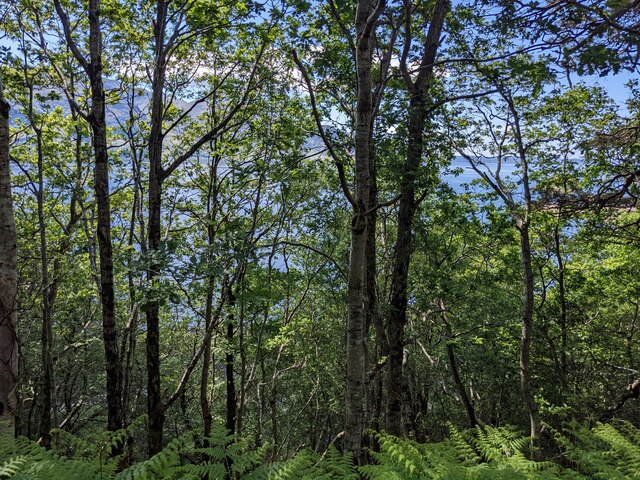
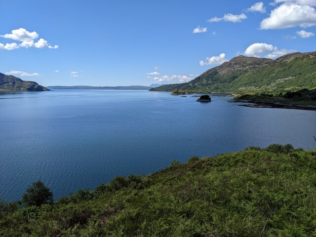
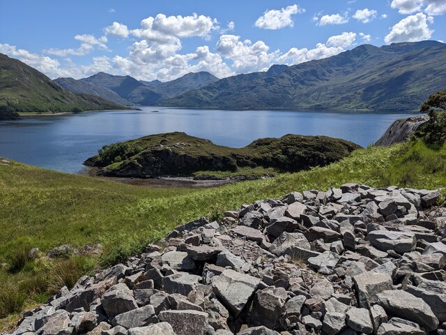
Eilean Tioram is a small, uninhabited island located off the coast of Inverness-shire in Scotland. The island is situated at the mouth of Loch Moidart and is known for its rugged, rocky terrain and stunning coastal views. Eilean Tioram is accessible only by boat and is a popular destination for hikers and nature enthusiasts.
The island is home to a variety of wildlife, including seabirds, seals, and occasionally otters. The rocky shores and cliffs provide nesting sites for birds such as puffins and guillemots, making it a paradise for birdwatchers.
Eilean Tioram is also known for its historical significance, with the ruins of a 13th-century castle located on the island. The castle, which gives the island its name (Tioram means "dry" in Gaelic), was once a stronghold of the Clan MacDonald but has been abandoned for centuries.
Overall, Eilean Tioram is a picturesque and peaceful island that offers visitors a chance to experience the natural beauty and history of the Scottish coast.
If you have any feedback on the listing, please let us know in the comments section below.
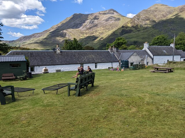
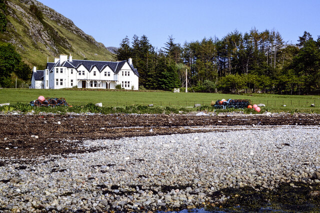
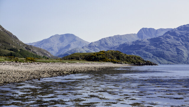
Eilean Tioram Images
Images are sourced within 2km of 57.13196/-5.5751626 or Grid Reference NG8310. Thanks to Geograph Open Source API. All images are credited.
Eilean Tioram is located at Grid Ref: NG8310 (Lat: 57.13196, Lng: -5.5751626)
Unitary Authority: Highland
Police Authority: Highlands and Islands
What 3 Words
///soothing.autumn.taller. Near Glenelg, Highland
Nearby Locations
Related Wikis

Arnisdale
Arnisdale (Scottish Gaelic: Àrnasdal) is a hamlet in the historic county of Inverness-shire in the local authority area of Highlands of Scotland. It lies...

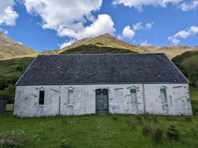
Arnisdale Free Church
Arnisdale Free Church is a church building at one time connected to the Free Church of Scotland. It is sited in Arnisdale, Inverness-shire, Scotland. According...

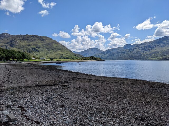
Loch Hourn
Loch Hourn (Scottish Gaelic: Loch Shubhairne) is a sea loch which separates the peninsulas of Glenelg to the north and Knoydart to the south, on the west...

Corran, Loch Hourn
Corran (Scottish Gaelic: An Corran) is a hamlet on the northern shore of Loch Hourn, in Lochalsh in Inverness-shire in the Highlands of Scotland. It is...
Nearby Amenities
Located within 500m of 57.13196,-5.5751626Have you been to Eilean Tioram?
Leave your review of Eilean Tioram below (or comments, questions and feedback).