Geodha Griom
Coastal Feature, Headland, Point in Ross-shire
Scotland
Geodha Griom

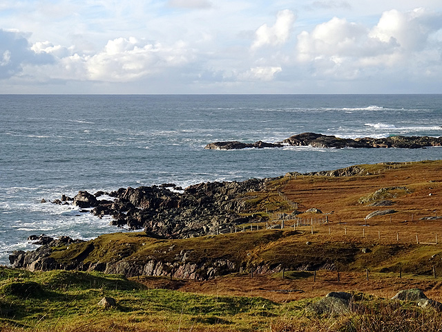
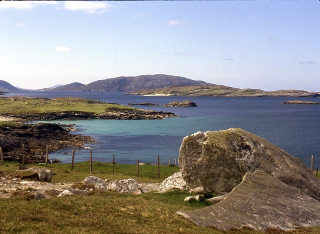
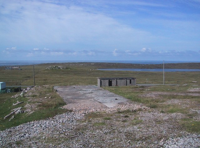
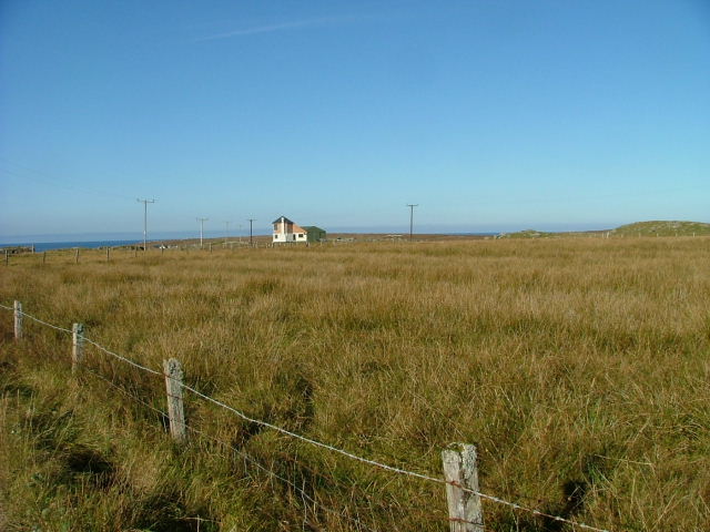
Geodha Griom is a stunning coastal feature located in Ross-shire, a county in the Highlands of Scotland. Known for its breathtaking natural beauty, Geodha Griom is a headland that juts out into the North Sea, forming a prominent point along the coastline.
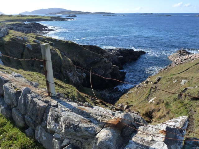
The headland is characterized by its rugged cliffs, which rise dramatically from the rocky shoreline. These cliffs provide a habitat for a variety of seabirds, including kittiwakes, fulmars, and guillemots, making it a popular spot for birdwatching enthusiasts.
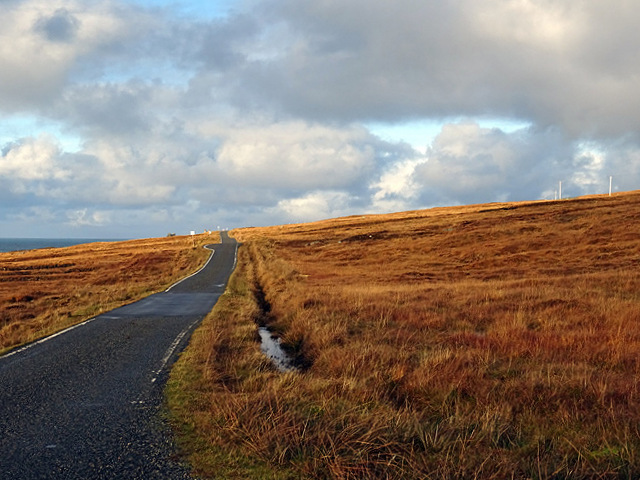
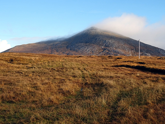
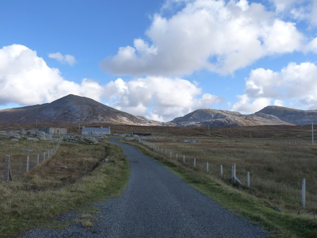
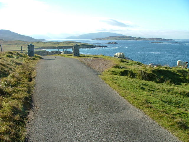
Geodha Griom offers panoramic views of the surrounding landscape, with the vast expanse of the North Sea stretching out before it. On clear days, it is possible to see the distant peaks of the Scottish Highlands, adding to the picturesque allure of the area.
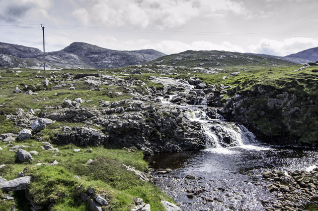
The headland is also renowned for its geological formations. The coastal erosion has shaped the cliffs into intriguing formations, such as arches, caves, and stacks. These natural features provide a fascinating glimpse into the geological history of the region.
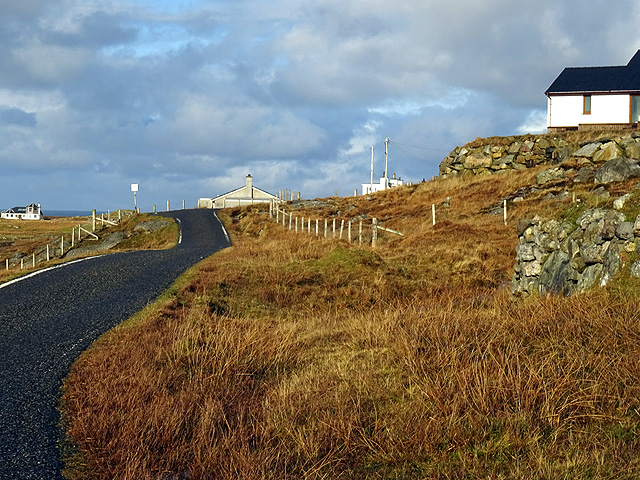
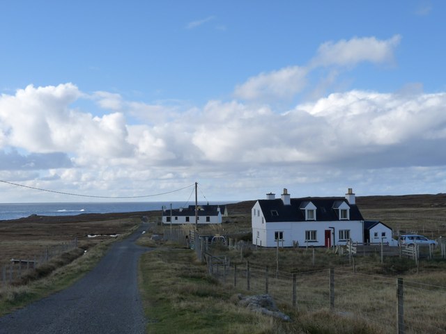
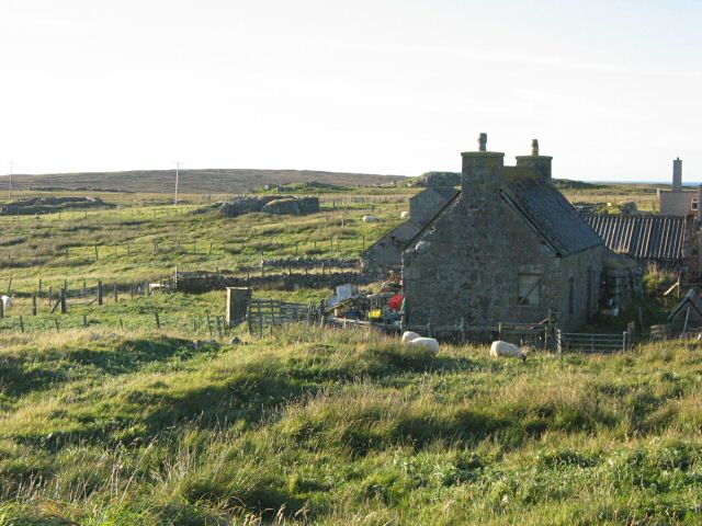
Access to Geodha Griom is relatively easy, with a well-maintained pathway leading visitors to the headland. The area is a popular destination for hikers and nature lovers, who can enjoy the tranquility and serenity of the coastal surroundings.
Overall, Geodha Griom is a remarkable coastal feature that showcases the raw beauty of the Scottish coastline. With its stunning cliffs, diverse birdlife, and captivating geological formations, it is a must-visit destination for anyone seeking to experience the breathtaking natural wonders of Ross-shire.
If you have any feedback on the listing, please let us know in the comments section below.
Geodha Griom Images
Images are sourced within 2km of 58.124825/-7.1308321 or Grid Reference NA9826. Thanks to Geograph Open Source API. All images are credited.
Geodha Griom is located at Grid Ref: NA9826 (Lat: 58.124825, Lng: -7.1308321)
Unitary Authority: Na h-Eileanan an Iar
Police Authority: Highlands and Islands
What 3 Words
///archduke.wolf.dragging. Near Carloway, Na h-Eileanan Siar
Nearby Locations
Related Wikis

Brenish
Brenish (Scottish Gaelic: Brèinis) is a small village situated on the west coast of the Isle of Lewis, which is part of the Outer Hebrides of Scotland...

Game pieces of the Lewis chessmen hoard
Game pieces of the Lewis chessmen hoard include the ninety-three game pieces of the Lewis chessmen hoard found on the Isle of Lewis in the Outer Hebrides...

Mealista
Mealista (Scottish Gaelic: Mealasta) was a township in the west of the Isle of Lewis. It is currently largely uninhabited due to the Highland Clearances...

Eilean Mhealasta
Eilean Mhealasta (Mealista Island) is an uninhabited island off the west coast of Lewis in the Outer Hebrides of Scotland. It takes its name from Mealista...

Stac Dhòmhnaill Chaim
Stac Dhòmnuill Chaim, or Stac Dhòmhnaill Chaim, or Stac Domhnuill Chaim, is a fortified promontory located near Mangursta (or Mangersta, Scottish Gaelic...
Gasker
Gasker is a small uninhabited islet in the Outer Hebrides of Scotland, 8 kilometres (4+1⁄2 nautical miles) southwest of Scarp, off the west coast of Harris...

Abhainn Dearg distillery
Abhainn Dearg distillery ( AV-in JAIRG) or Red River distillery is a Scotch whisky distillery in Uig, on the west coast of the Isle of Lewis in the Outer...

Ardroil
Ardroil (Scottish Gaelic: Eadar Dhà Fhadhail) is a village on the Isle of Lewis in the Outer Hebrides, Scotland. Ardroil is within the parish of Uig....
Nearby Amenities
Located within 500m of 58.124825,-7.1308321Have you been to Geodha Griom?
Leave your review of Geodha Griom below (or comments, questions and feedback).