Geodha Dubh Seilearo
Coastal Feature, Headland, Point in Ross-shire
Scotland
Geodha Dubh Seilearo

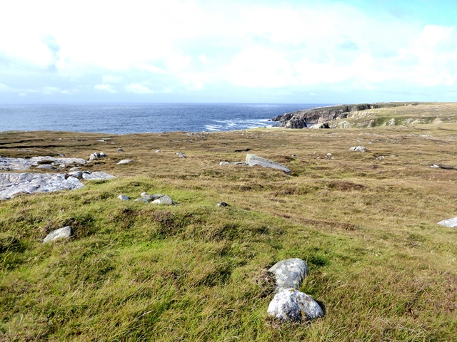
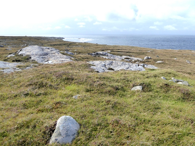
Geodha Dubh Seilearo is a prominent coastal feature located in Ross-shire, Scotland. Also known as Seilearo Point, it is a headland that juts out into the North Atlantic Ocean, forming a distinct and visually striking point along the coast.
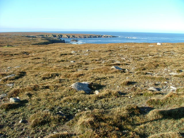
Situated on the western coast of Scotland, Geodha Dubh Seilearo is characterized by its rugged and rocky landscape, typical of the region. The headland is composed of steep cliffs that rise dramatically from the sea, creating a stunning backdrop against the crashing waves.
The name "Geodha Dubh Seilearo" translates to "Black Sailor's Cove" in English, alluding to the area's maritime history. It is believed that the name originates from the tales of sailors who would seek shelter in the cove during stormy weather. The name also reflects the dark, rocky nature of the landscape.
Geodha Dubh Seilearo is a popular spot for nature enthusiasts and hikers due to its scenic beauty and accessible trails. Visitors can enjoy breathtaking views of the surrounding coastal scenery, including the vast expanse of the North Atlantic Ocean and the neighboring cliffs.
The headland is also home to a diverse range of wildlife, including seabirds such as gannets, puffins, and guillemots. The coastal waters around Geodha Dubh Seilearo are known for their rich marine life, with sightings of seals and dolphins being relatively common.
Overall, Geodha Dubh Seilearo is a captivating coastal feature that offers visitors a glimpse into the rugged beauty and natural wonders of the Ross-shire coastline.
If you have any feedback on the listing, please let us know in the comments section below.
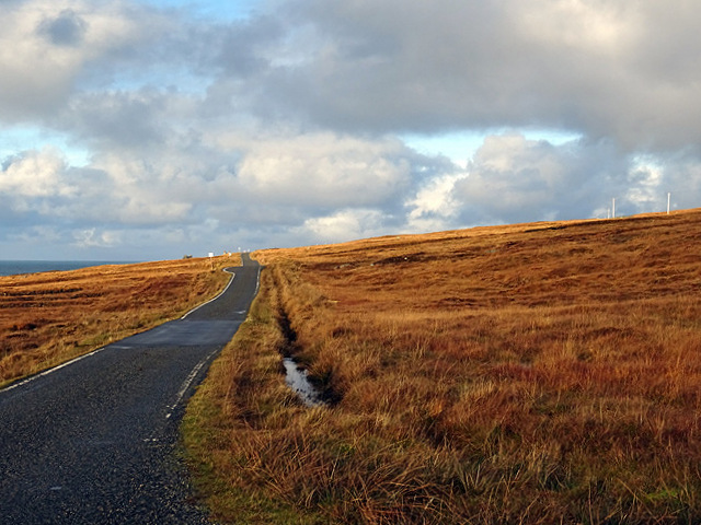
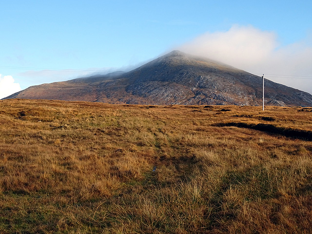
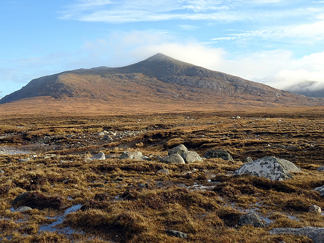
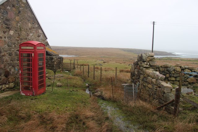
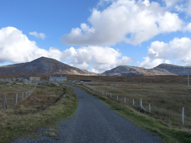
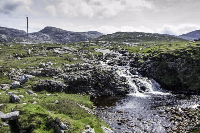
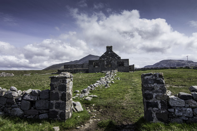
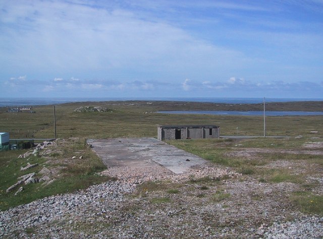
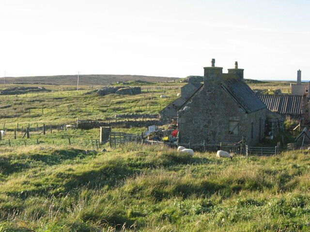
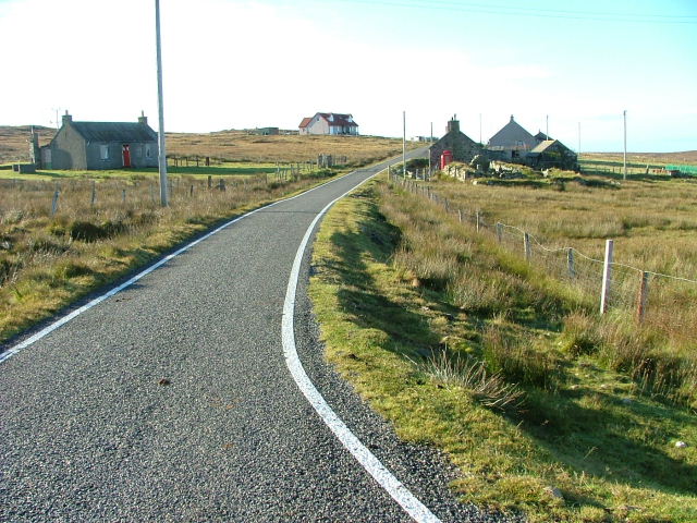
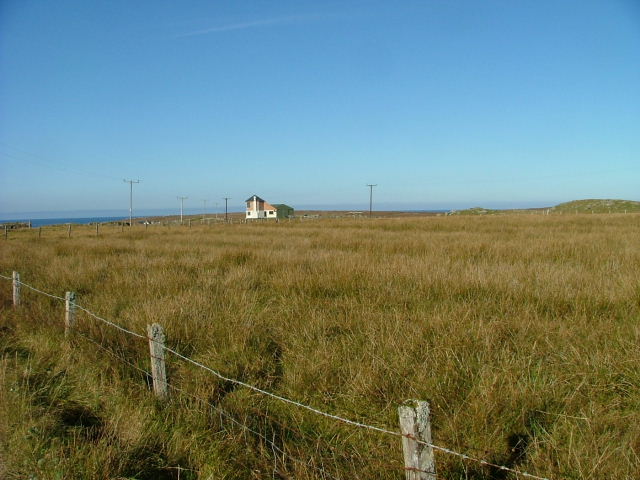
Geodha Dubh Seilearo Images
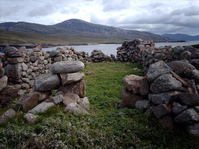
Images are sourced within 2km of 58.130616/-7.13182 or Grid Reference NA9827. Thanks to Geograph Open Source API. All images are credited.
Geodha Dubh Seilearo is located at Grid Ref: NA9827 (Lat: 58.130616, Lng: -7.13182)
Unitary Authority: Na h-Eileanan an Iar
Police Authority: Highlands and Islands
What 3 Words
///scaffold.dizzy.flask. Near Carloway, Na h-Eileanan Siar
Related Wikis

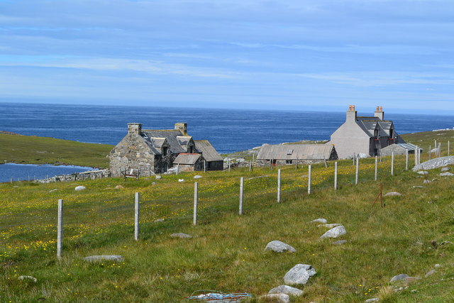
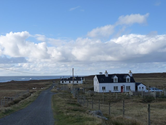
Brenish
Brenish (Scottish Gaelic: Brèinis) is a small village situated on the west coast of the Isle of Lewis, which is part of the Outer Hebrides of Scotland...

Game pieces of the Lewis chessmen hoard
The game pieces of the Lewis chessmen hoard consist of ninety-three game pieces of the Lewis chessmen found on the Isle of Lewis in the Outer Hebrides...

Mealista
Mealista (Scottish Gaelic: Mealasta) was a township in the west of the Isle of Lewis. It is currently largely uninhabited due to the Highland Clearances...

Stac Dhòmhnaill Chaim
Stac Dhòmnuill Chaim, or Stac Dhòmhnaill Chaim, or Stac Domhnuill Chaim, is a fortified promontory located near Mangursta (or Mangersta, Scottish Gaelic...
Nearby Amenities
Located within 500m of 58.130616,-7.13182Have you been to Geodha Dubh Seilearo?
Leave your review of Geodha Dubh Seilearo below (or comments, questions and feedback).