Red Stack
Island in Shetland
Scotland
Red Stack

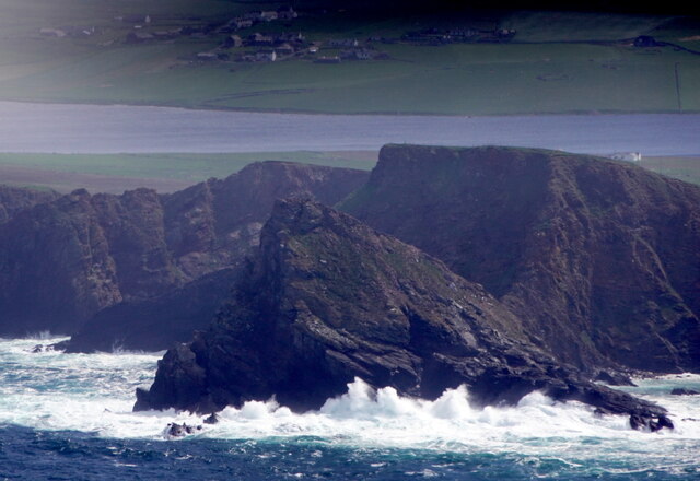
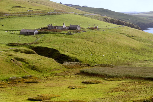
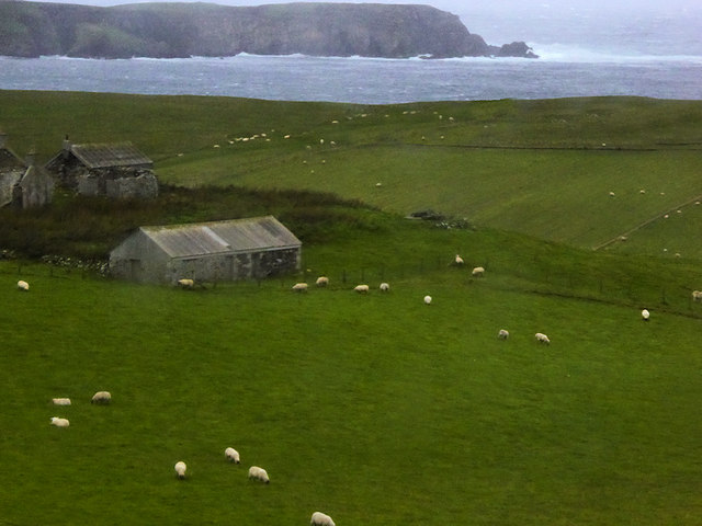
Red Stack is a small uninhabited islet located in the Shetland Islands, situated off the northern coast of Scotland. It is part of the Red Stack National Nature Reserve, which covers a total area of about 102 hectares. The islet is known for its unique geological formations and diverse wildlife.
The island is characterized by its striking red sandstone cliffs, which give it its name. These cliffs, reaching up to 30 meters in height, are home to various seabird colonies, including puffins, razorbills, guillemots, and fulmars. The islet serves as an important breeding ground and nesting site for these species, providing a safe haven away from human disturbance.
In addition to its avian inhabitants, Red Stack is also home to a variety of marine life. The surrounding waters are teeming with seals, dolphins, and porpoises, making it an excellent spot for wildlife enthusiasts and nature lovers. The island is accessible only by boat, and visitors are encouraged to adhere to strict guidelines to protect the fragile ecosystem.
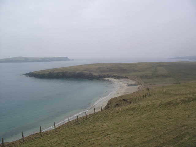
Given its remote location and limited accessibility, Red Stack offers a tranquil and untouched natural environment. Its rugged cliffs and stunning coastal scenery make it a popular destination for photographers, hikers, and birdwatchers. Visitors can enjoy breathtaking views of the surrounding ocean and the nearby Shetland Islands.
Overall, Red Stack is a unique and ecologically significant islet within the Shetland Islands, offering a peaceful retreat for wildlife enthusiasts and those seeking to explore the beauty of Scotland's northern coastline.
If you have any feedback on the listing, please let us know in the comments section below.
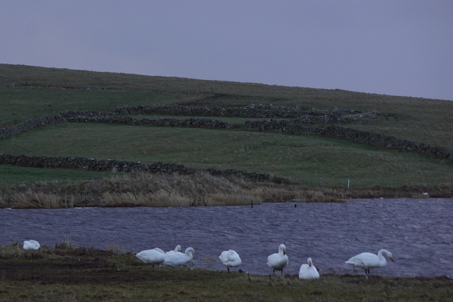
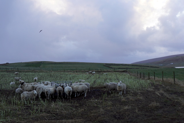
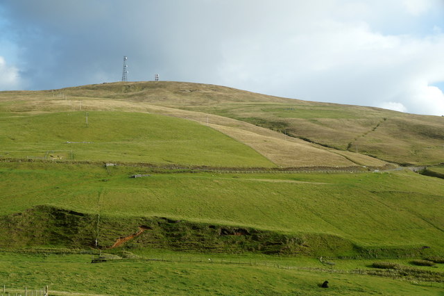
Red Stack Images
Images are sourced within 2km of 59.943277/-1.3459619 or Grid Reference HU3617. Thanks to Geograph Open Source API. All images are credited.


Red Stack is located at Grid Ref: HU3617 (Lat: 59.943277, Lng: -1.3459619)
Unitary Authority: Shetland Islands
Police Authority: Highlands and Islands
What 3 Words
///collected.cake.pouting. Near Sandwick, Shetland Islands
Nearby Locations
Related Wikis

Colsay
Colsay is an uninhabited island off the South West coast of Mainland, Shetland. Fora Ness lies to the south, across the Muckle Sound. The highest elevation...

Scousburgh
Scousburgh is a small community in the parish of Dunrossness, in the South Mainland of Shetland, Scotland, overlooking the picturesque Scousburgh Sand...

Lochs of Spiggie and Brow
The Lochs of Spiggie and Brow are located west of Boddam in the parish of Dunrossness, in the South Mainland of Shetland, Scotland, about 6 km north of...

Dunrossness
Dunrossness, (Old Norse: Dynrastarnes meaning "headland of the loud tide-race", referring to the noise of Sumburgh Roost) is the southernmost parish of...

St Ninian's Isle
St Ninian's Isle is a small tied island connected by the largest tombolo in the UK to the south-western coast of the Mainland, Shetland, in Scotland. It...

Bigton
Bigton is a small settlement on South Mainland, Shetland, UK. Bigton is within the civil parish of Dunrossness.Bigton lies on the Atlantic coast of the...

Boddam, Shetland
Boddam is a village on the island of Mainland, in Shetland, Scotland. Boddam is an area of Dunrossness in the South Mainland of Shetland. Although Boddam...

Clumlie Broch
Clumlie Broch is an Iron Age broch located on Mainland, Shetland, in Scotland (grid reference HU40451811). == Location == Clumlie Broch is located in Dunrossness...
Nearby Amenities
Located within 500m of 59.943277,-1.3459619Have you been to Red Stack?
Leave your review of Red Stack below (or comments, questions and feedback).