Stack Rocks
Island in Pembrokeshire
Wales
Stack Rocks
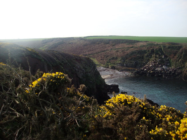
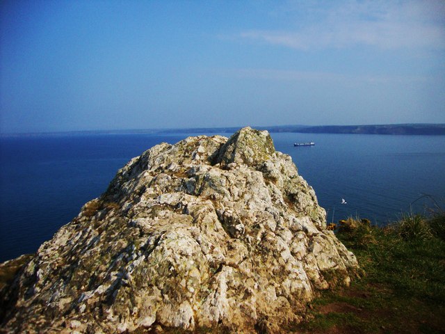
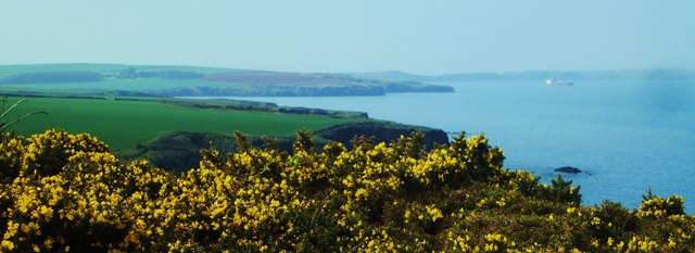
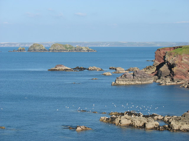
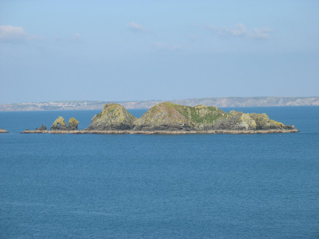
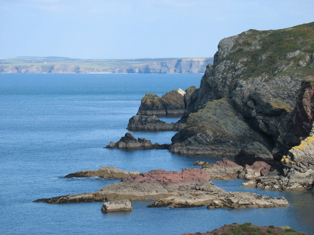
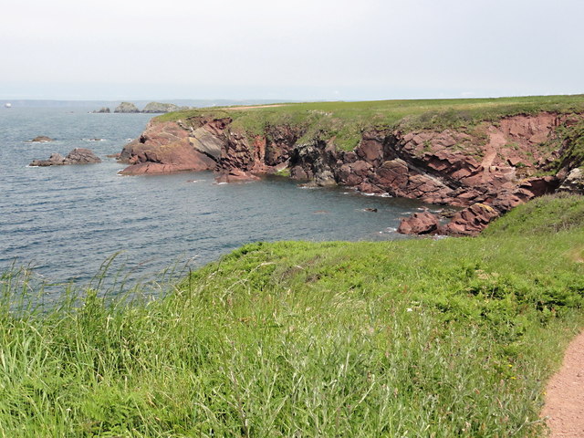
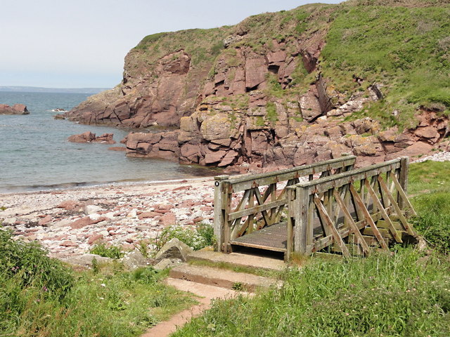
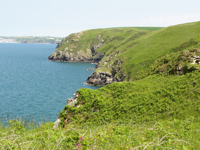
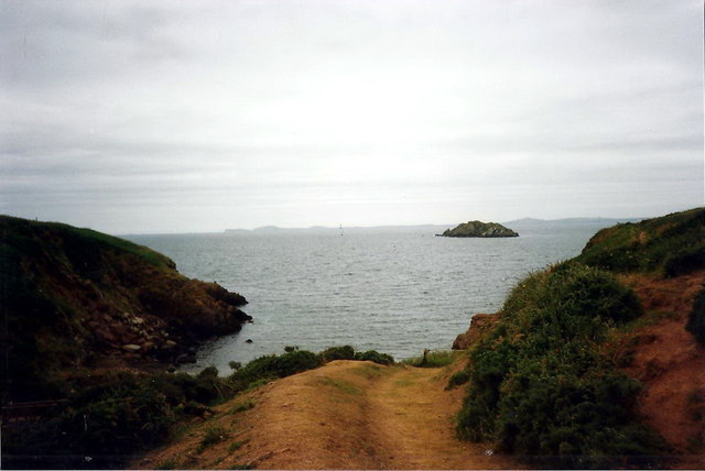
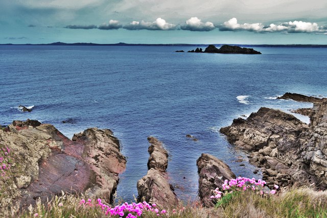
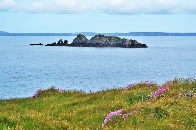
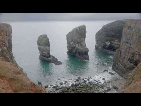
Stack Rocks is a stunning geological formation located in Pembrokeshire, Wales. Known for its dramatic cliffs and distinctive rock formations, it is situated near the southern end of St. Govan's Head, a prominent headland on the Pembrokeshire Coast National Park.
The Rocks themselves are massive limestone pillars that rise vertically from the sea, reaching heights of up to 60 meters. These towering structures have been shaped over thousands of years by the relentless force of the waves, resulting in their unique and impressive appearance. The rocks are composed of richly fossiliferous Carboniferous Limestone, providing a glimpse into the area's ancient history.
This natural wonder is not only visually striking but also serves as an important habitat for a diverse range of wildlife. Numerous seabirds, including razorbills, guillemots, and fulmars, nest on the cliffs, making it a popular spot for birdwatching enthusiasts. Peregrine falcons can also be spotted soaring above the rocks, adding to the area's allure for wildlife enthusiasts.
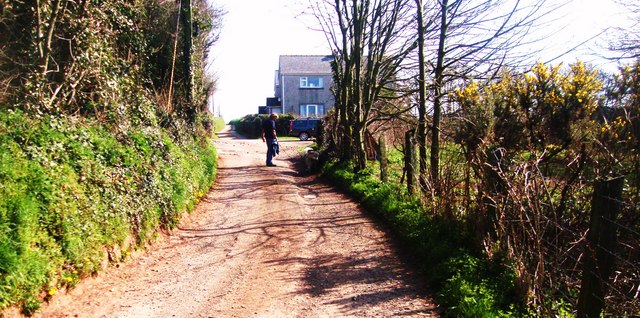
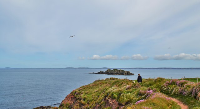
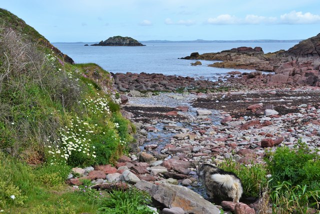
Access to Stack Rocks is best achieved by following the Pembrokeshire Coast Path, a renowned long-distance walking trail that stretches along the Welsh coastline. The path offers breathtaking views of the surrounding area and provides a unique perspective of the rock formations from above. Additionally, visitors can explore the nearby St. Govan's Chapel, a medieval hermit's cell built into the cliffs, which adds a touch of historical intrigue to the location.
Stack Rocks, with its awe-inspiring cliffs, striking rock formations, and abundant wildlife, is a must-visit destination for nature lovers and those seeking a truly remarkable coastal experience in Pembrokeshire.
If you have any feedback on the listing, please let us know in the comments section below.
Stack Rocks Images
Images are sourced within 2km of 51.775052/-5.1742057 or Grid Reference SM8113. Thanks to Geograph Open Source API. All images are credited.
Stack Rocks is located at Grid Ref: SM8113 (Lat: 51.775052, Lng: -5.1742057)
Unitary Authority: Pembrokeshire
Police Authority: Dyfed Powys
What 3 Words
///insolvent.casually.gift. Near Broad Haven, Pembrokeshire
Nearby Locations
Related Wikis
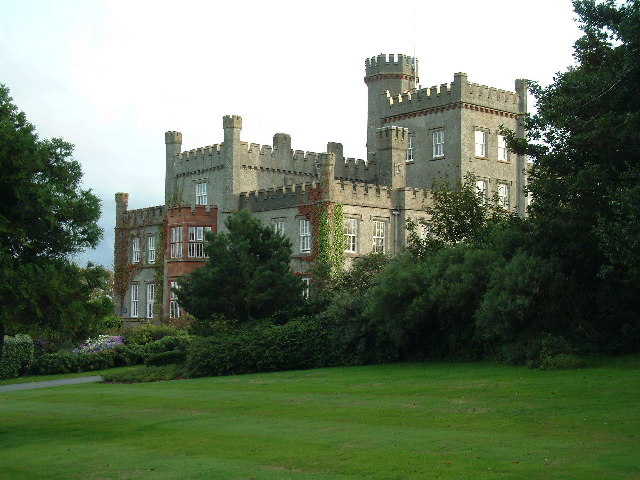
St Brides Castle
St Brides Castle is a 19th-century castellated baronial-style mansion in the parish of St Brides and the community of Marloes and St Brides, Pembrokeshire...
St Brides
St Brides (Welsh: Sain Ffraid) is a parish and small coastal village in Pembrokeshire, Wales, at the south of St Brides Bay, about 1+1⁄2 miles (2.4 km...

RAF Talbenny
Royal Air Force Talbenny, or more simply RAF Talbenny, is a former Royal Air Force station located 5.6 miles (9.0 km) north west of Milford Haven, Pembrokeshire...

Marloes and St Brides
Marloes and St. Brides (Welsh: Marloes a Sain Ffraid) is a community in the West Wales county of Pembrokeshire. The main settlements are the villages of...

Little and Broad Haven Lifeboat Station
Little and Broad Haven Lifeboat Station is a Royal National Lifeboat Institution (RNLI) lifeboat station in Pembrokeshire, West Wales. The station was...

Marloes
Marloes is a village and parish in Pembrokeshire, Wales, on the Marloes Peninsula 7 miles (11 km) west of Milford Haven and forms the western tip of the...

Little Haven
Little Haven (Welsh: Hafan Fach) is a village at the south-east corner of St Bride's Bay, Pembrokeshire, Wales. It is in the Pembrokeshire Coast National...

Broad Haven
Broad Haven (Welsh: Aberllydan) is a village and seaside resort in the south east corner of St Bride's Bay at the western terminus of the B4341 road in...
Related Videos

Talbenny to Martins Haven via the Pembrokeshire Coast Path. February 2019.
We walked 17km from our Airbnb cottage in Talbenny, along the coastal path to Martins Haven. We were very lucky with the ...
Stack Rocks in Pembrokeshire, Wales 4K TV Art | 1 Hour Ocean Sounds
Experience the rugged beauty of the Elegug Stack Rocks in Pembrokeshire, Wales in stunning 4K resolution. Visit one of the most ...

Lure Fishing for Bass - St Brides Pembrokeshire - Tips for beginners
Lure fishing for Bass in St Brides Pembrokeshire, Wales. Plagued by seals but some valuable tips for beginners. Lures: 1) Savage ...

St Brides, Pembrokeshire.
Some aerial footage of our short weekend away at St Brides Bay in Pembrokeshire.
Nearby Amenities
Located within 500m of 51.775052,-5.1742057Have you been to Stack Rocks?
Leave your review of Stack Rocks below (or comments, questions and feedback).