Sgeir Maol Mhoraidh

Island in Ross-shire

Scotland

Sgeir Maol Mhoraidh

Loch na h-Uamhaidh Beag
Loch na h-Uamhaidh Beag Credit: David Brown

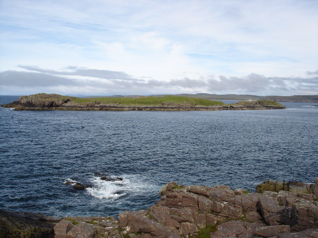
Sgeir Maol Mhoraidh is a small uninhabited island located off the coast of Ross-shire, in the Highland region of Scotland. Also known as the Great Strome Skerry, it is situated in the Inner Sound, near the Isle of Skye.

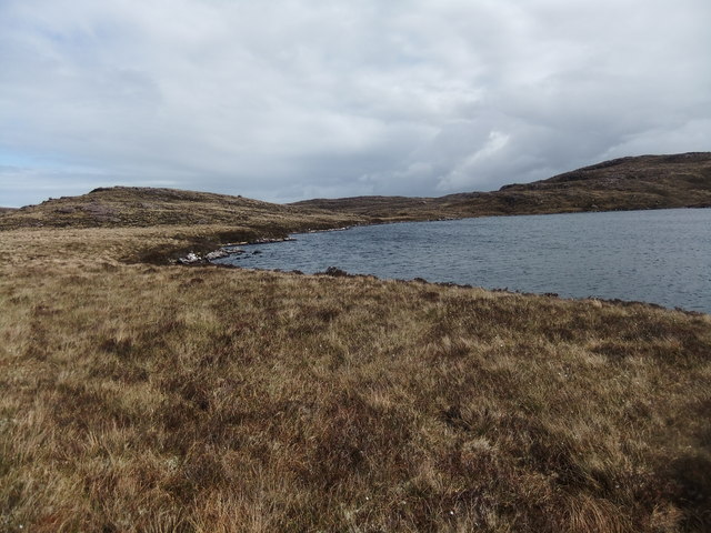
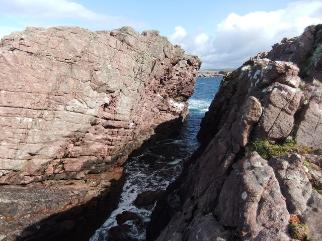
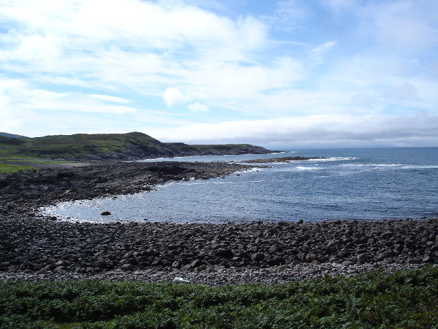
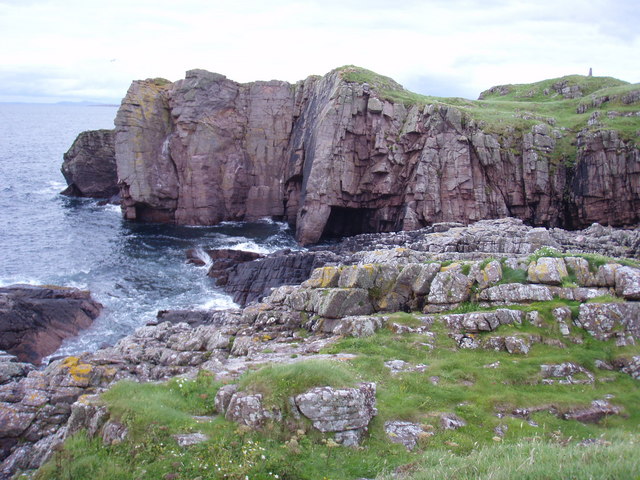
Measuring approximately 40 meters in length and 20 meters in width, Sgeir Maol Mhoraidh is a rocky outcrop that rises sharply from the surrounding sea. The island is characterized by its rugged terrain, with steep cliffs and jagged rocks. It is mostly devoid of vegetation, save for a few patches of hardy grasses and seaweed.

Due to its remote location and challenging topography, Sgeir Maol Mhoraidh is home to a diverse range of seabirds. It serves as an important breeding ground and nesting site for species such as puffins, guillemots, razorbills, and gulls. The surrounding waters are also rich in marine life, attracting seals, dolphins, and occasionally whales.

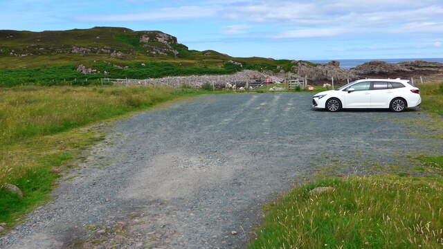
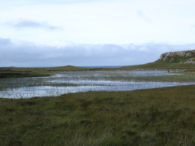
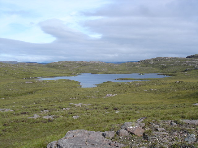
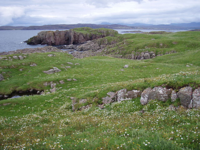
Access to Sgeir Maol Mhoraidh is limited and can be difficult, as there are no regular ferry services to the island. However, it can be observed from various viewpoints along the coast of Ross-shire, offering stunning vistas and a glimpse into the untamed beauty of the Scottish coastline.

The island's isolation and untouched natural environment make Sgeir Maol Mhoraidh a popular destination for wildlife enthusiasts, birdwatchers, and photographers seeking unique and captivating images of Scotland's wild landscapes.

If you have any feedback on the listing, please let us know in the comments section below.

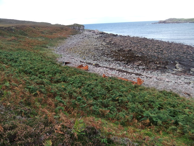
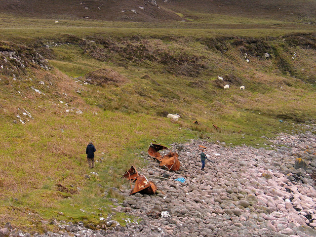
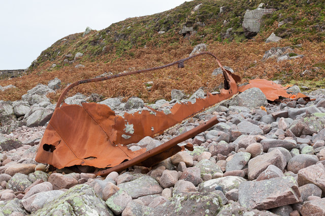
Sgeir Maol Mhoraidh Images

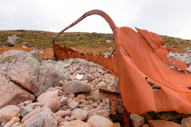
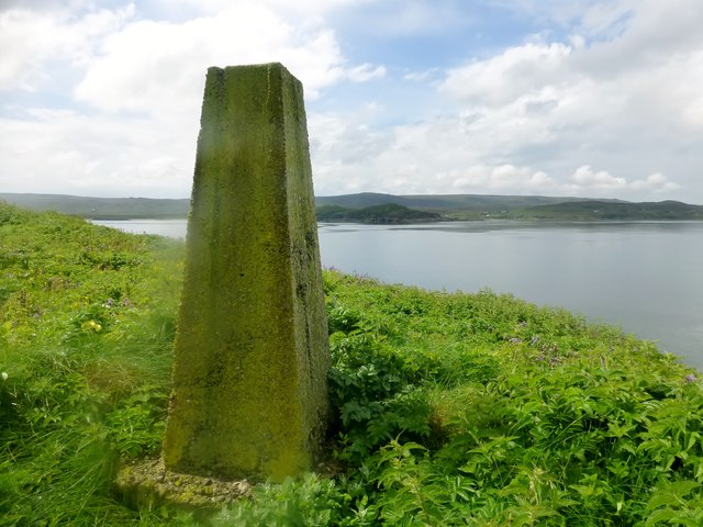
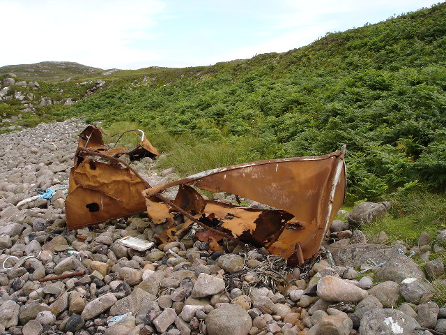
Images are sourced within 2km of 57.872589/-5.7025085 or Grid Reference NG8093. Thanks to Geograph Open Source API. All images are credited.

Loch na h-Uamhaidh Beag
The car park at Cove Here there are information boards describing the part Loch Ewe played in the WW2 Arctic Convoys.
The car park at Cove
Here there are information boards describing the part Loch Ewe played in the WW2 Arctic Convoys.
Information board at Rubha nan Sasan, Cove This describes the part Loch Ewe played in the WW2 Arctic Convoys.
Information board at Rubha nan Sasan, Cove
This describes the part Loch Ewe played in the WW2 Arctic Convoys.
New house near Cove
New house near Cove
Beach with rusting lifeboats
Stac Rhuadh An attempt to get on the Stac thwarted by a huge chasm!
Stac Rhuadh
An attempt to get on the Stac thwarted by a huge chasm!
Bouldery beach with wrecked lifeboats The beach is at a bay south of Eilean Furadh Mòr near to where, on 26 Feb 1944, the US 'Liberty Ship', William H. Welch foundered and was lost with most of her crew. The rusting remains of several of the ship's lifeboats lie on the beach
Bouldery beach with wrecked lifeboats
The beach is at a bay south of Eilean Furadh Mòr near to where, on 26 Feb 1944, the US 'Liberty Ship', William H. Welch foundered and was lost with most of her crew. The rusting remains of several of the ship's lifeboats lie on the beach
Remains of lifeboat This is the remains of one of the lifeboats from the William H Welch, a liberty ship which went aground near here on 25th February 1944.
Remains of lifeboat
This is the remains of one of the lifeboats from the William H Welch, a liberty ship which went aground near here on 25th February 1944.
Eilean Furadh Mòr Typical narrow Hydro pillar design. Neatly lettered cap "HMS COOK 1951" Landed off RIB onto rocks and scrambled easy slabs to pillar which is at summit. Very nice little island. Alan Holmes group charter out of Ullapool with only 5 out of 12 in the group bagging the island and the trig.
Eilean Furadh Mòr
Typical narrow Hydro pillar design. Neatly lettered cap "HMS COOK 1951" Landed off RIB onto rocks and scrambled easy slabs to pillar which is at summit. Very nice little island. Alan Holmes group charter out of Ullapool with only 5 out of 12 in the group bagging the island and the trig.
Wrecked lifeboats from the William H Welch The Liberty ship the William H Welch ran aground with loss of 72 lives.  The lifeboats washed ashore but had not been used.
Wrecked lifeboats from the William H Welch
The Liberty ship the William H Welch ran aground with loss of 72 lives. The lifeboats washed ashore but had not been used.
Eilean Furadh Mor over Caolas an Fhuraidh Taken from the headland adjacent to Stac Rhuadh. I was actually 60m outside the grid square when I took the picture.  Getting onto the stack would prove an interesting challenge.
Eilean Furadh Mor over Caolas an Fhuraidh
Taken from the headland adjacent to Stac Rhuadh. I was actually 60m outside the grid square when I took the picture. Getting onto the stack would prove an interesting challenge.
Sgeir Mhor Sgeir is gaelic for skerry, a small rocky island.  Although at low tide is you can walk out to the point.
Sgeir Mhor
Sgeir is gaelic for skerry, a small rocky island. Although at low tide is you can walk out to the point.
Loch an t-Sean -inbhir Looking towards the sea which can be just glimpsed in the background
Loch an t-Sean -inbhir
Looking towards the sea which can be just glimpsed in the background
Loch na h-Uamhaidh Moire Taken from the highest point in the gridsquare looking east.
Loch na h-Uamhaidh Moire
Taken from the highest point in the gridsquare looking east.
Rusty remains of boat on beach
Cliffs on Eilean Furadh Mòr The island has very lush vegetation, probably because there have been no sheep since the spring.
Cliffs on Eilean Furadh Mòr
The island has very lush vegetation, probably because there have been no sheep since the spring.
Eilean Furadh Mòr Looking along just about the whole length of the island, just under 0.5 km.  Plenty of seals around the island, and I saw a rat scurrying through the undergrowth.
Eilean Furadh Mòr
Looking along just about the whole length of the island, just under 0.5 km. Plenty of seals around the island, and I saw a rat scurrying through the undergrowth.
Show me another place!

Sgeir Maol Mhoraidh is located at Grid Ref: NG8093 (Lat: 57.872589, Lng: -5.7025085)

Unitary Authority: Highland

Police Authority: Highlands and Islands

What 3 Words

///bucked.founders.soaps. Near Gairloch, Highland

Related Wikis

Cove, Highland

Cove is a remote hamlet located on the northwestern shore of the sea loch Loch Ewe, and 8 mi (13 km) northwest of Poolewe in Ross-shire, Scottish Highlands...

Mellon Charles

Mellon Charles (Scottish Gaelic: Meallan Theàrlaich) is a remote crofting village on the north east shore of Loch Ewe near Gairloch in Wester Ross, in...

Ormiscaig

Ormiscaig (Scottish Gaelic: Ormasgaig) is a remote crofting village on the north east shore of Loch Ewe in Achnasheen, Ross-shire, Scottish Highlands and...

Rubha Mòr

Rubha Mòr is a remote peninsula in west Scotland, in the western region of Ross and Cromarty. The peninsula stretches from Greenstone Point in the north...

Nearby Amenities

Located within 500m of 57.872589,-5.7025085
Source: PGS
Lat/Long: 57.8685551/-5.6996689
Source: PGS
Lat/Long: 57.8689448/-5.6997513
Created By: almien_coastlines
Source: PGS
Lat/Long: 57.869088/-5.699528
Created By: almien_coastlines
Source: PGS
Lat/Long: 57.869108/-5.698568
Source: PGS
Lat/Long: 57.869753/-5.6981907
Source: PGS
Lat/Long: 57.8699331/-5.698374
Source: PGS
Lat/Long: 57.8701209/-5.6990807
Source: PGS
Lat/Long: 57.8703383/-5.6998283
Source: PGS
Lat/Long: 57.8704756/-5.7003019
Source: PGS
Lat/Long: 57.8707198/-5.7003066
Source: PGS
Lat/Long: 57.8707359/-5.701458
Source: PGS
Lat/Long: 57.8703959/-5.7025016
Created By: almien_coastlines
Source: PGS
Lat/Long: 57.870285/-5.703463
Source: PGS
Lat/Long: 57.8700636/-5.7036023
Source: PGS
Lat/Long: 57.869813/-5.7060127
Source: PGS
Lat/Long: 57.8703452/-5.7064696
Source: PGS
Lat/Long: 57.8703679/-5.7068003
Created By: almien_coastlines
Source: PGS
Lat/Long: 57.869809/-5.707753
Created By: almien_coastlines
Source: PGS
Lat/Long: 57.869671/-5.708224
The data included in this document is from www.openstreetmap.org. The data is made available under ODbL.

Have you been to Sgeir Maol Mhoraidh?

Leave your review of Sgeir Maol Mhoraidh below (or comments, questions and feedback).