Eilean na h-Uilinn
Island in Argyllshire
Scotland
Eilean na h-Uilinn
Eilean na h-Uilinn, also known as Mill Island, is a small island located in Argyllshire, Scotland. Situated in the Inner Hebrides, it lies in the Sound of Mull, approximately two miles west of the mainland. The island covers an area of around 13 acres and boasts a stunning natural landscape.
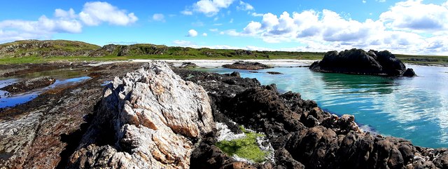
Eilean na h-Uilinn is characterized by its rugged coastline, with rocky cliffs and small sandy beaches. The island is predominantly covered in grass and heather, providing a picturesque backdrop for visitors. It is home to a variety of wildlife, including seabirds, seals, and occasionally dolphins and porpoises, making it a popular spot for birdwatching and wildlife enthusiasts.
The island has a rich history, with evidence of human occupation dating back to prehistoric times. Ruins of a 13th-century castle, believed to have been built by the Macleans, can still be found on the island, offering a glimpse into its past. Additionally, there are remnants of old mills that were once used for grinding grain, giving the island its name.
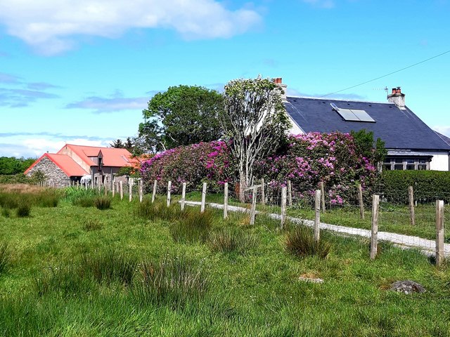
Access to Eilean na h-Uilinn is primarily by boat, with regular ferry services operating from nearby towns such as Tobermory. The island does not have any permanent residents or facilities, making it a tranquil and secluded destination for those seeking solitude and natural beauty.
Overall, Eilean na h-Uilinn is a charming island in Argyllshire, offering visitors a chance to immerse themselves in Scotland's rugged and untouched wilderness. Its stunning scenery, rich history, and abundant wildlife make it a must-visit destination for nature lovers and history enthusiasts.
If you have any feedback on the listing, please let us know in the comments section below.
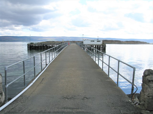
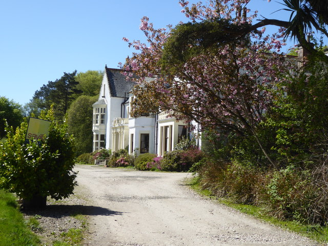
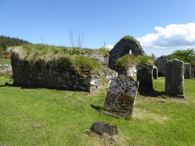
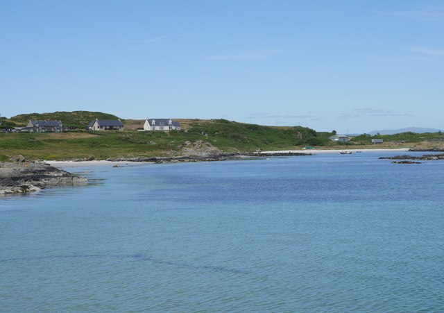
Eilean na h-Uilinn Images
Images are sourced within 2km of 55.651537/-5.7429586 or Grid Reference NR6446. Thanks to Geograph Open Source API. All images are credited.
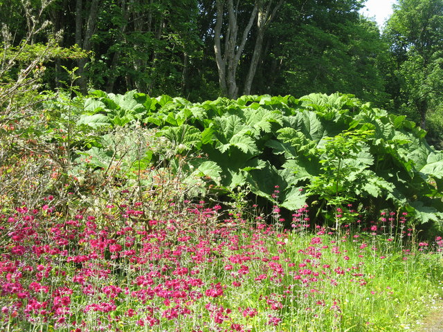
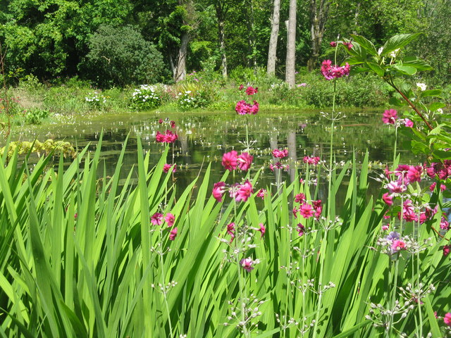
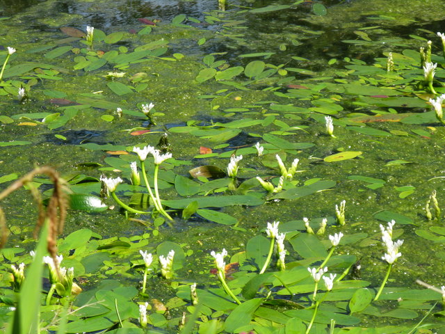
![Pond-edge plants at Achamore Garden Primula [pink] and Libertia [white flowers, of the Iris family], with a carved Otter by the pond.](https://s0.geograph.org.uk/geophotos/05/44/68/5446824_2d8ef6d8.jpg)
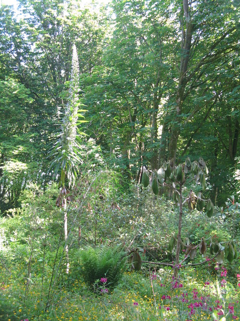
![Cabbage Tree and Giant Viper's Bugloss at Achamore Two plants [Cordyline australis, from New Zealand and Echium pininana, from the Canary Islands, resp.] that demonstrate the mildness of the Argyll climate.](https://s1.geograph.org.uk/geophotos/05/44/68/5446849_1cf8ed07.jpg)
Eilean na h-Uilinn is located at Grid Ref: NR6446 (Lat: 55.651537, Lng: -5.7429586)
Unitary Authority: Argyll and Bute
Police Authority: Argyll and West Dunbartonshire
What 3 Words
///specifies.riverbank.chicken. Near Craighouse, Argyll & Bute
Related Wikis

Ardminish
Ardminish (Scottish Gaelic: Aird Mhèanais) is the sole village on the Isle of Gigha in the Inner Hebrides, in Argyll and Bute, Scotland, and considered...

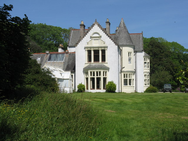
Achamore House
Achamore House is a mansion on the Isle of Gigha, Scotland. It was built in 1884 for Lt-Col William James Scarlett, and the extensive gardens were laid...

St Fionnlagh's Chapel
St Fionnlagh's Chapel (St Finla's Chapel) is a ruined medieval chapel on Cara Island, Argyll and Bute, Scotland. First recorded in the 15th century, the...

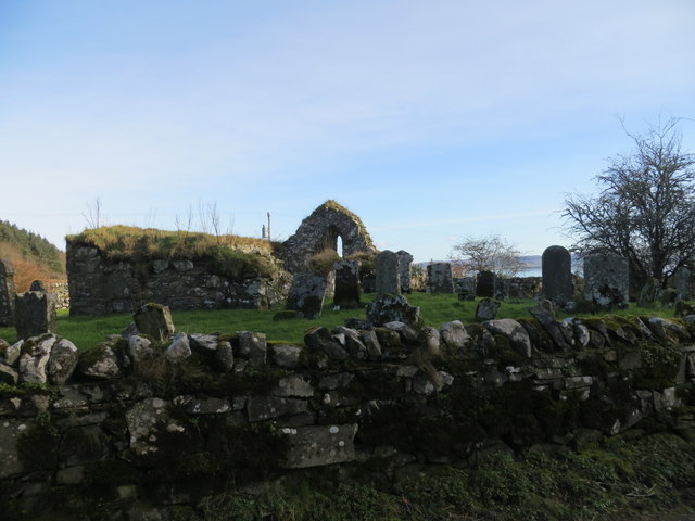
Kilchattan Chapel
Kilchattan Chapel (St Cathan's Chapel) is a ruined medieval chapel near Ardminish, Isle of Gigha, Argyll and Bute, Scotland. Built in the 13th century...
Nearby Amenities
Located within 500m of 55.651537,-5.7429586Have you been to Eilean na h-Uilinn?
Leave your review of Eilean na h-Uilinn below (or comments, questions and feedback).