Am Baisteir
Island in Argyllshire
Scotland
Am Baisteir
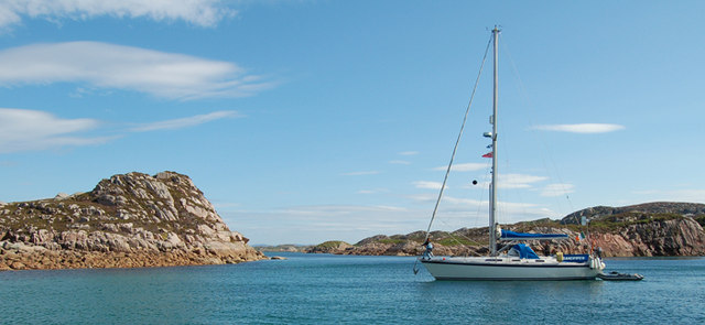
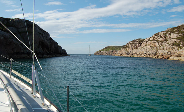
Am Baisteir is a small island located in Argyllshire, on the west coast of Scotland. It is part of the Inner Hebrides archipelago. The island is known for its stunning natural beauty and is a popular destination for nature enthusiasts and those seeking a peaceful getaway.
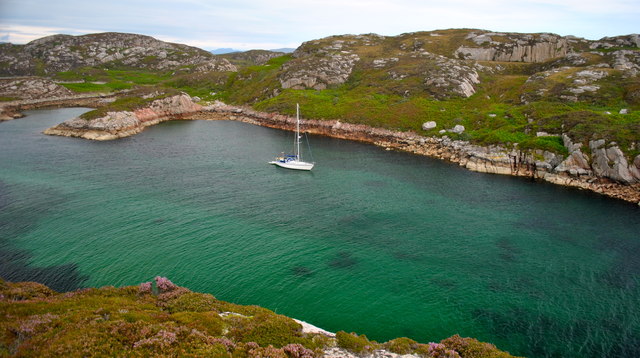
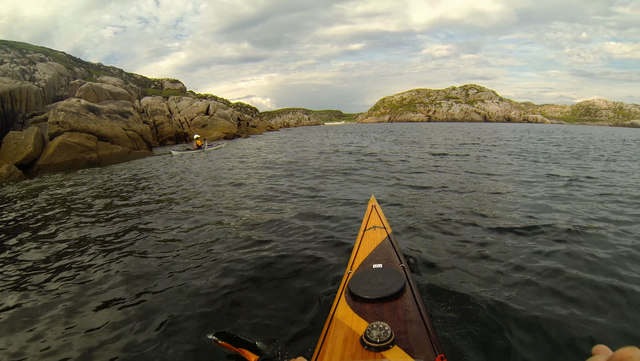
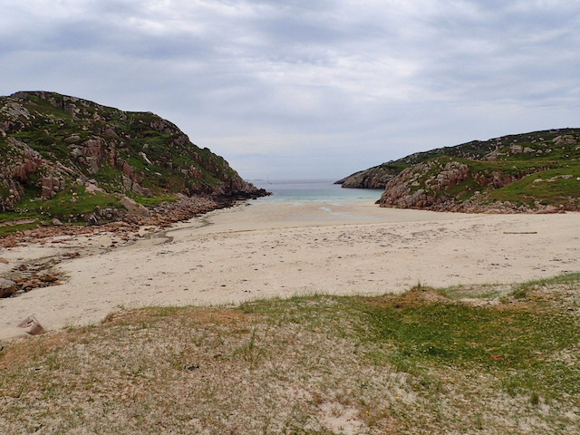
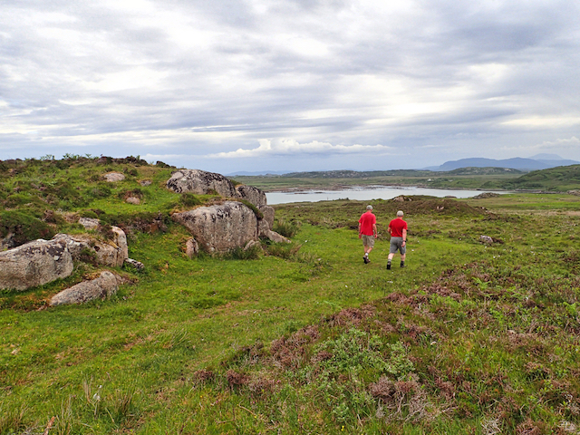
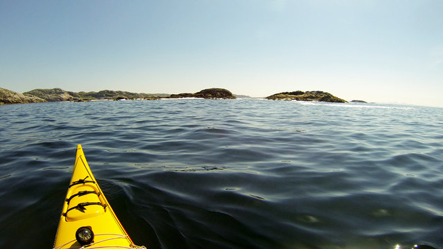
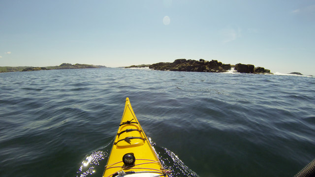
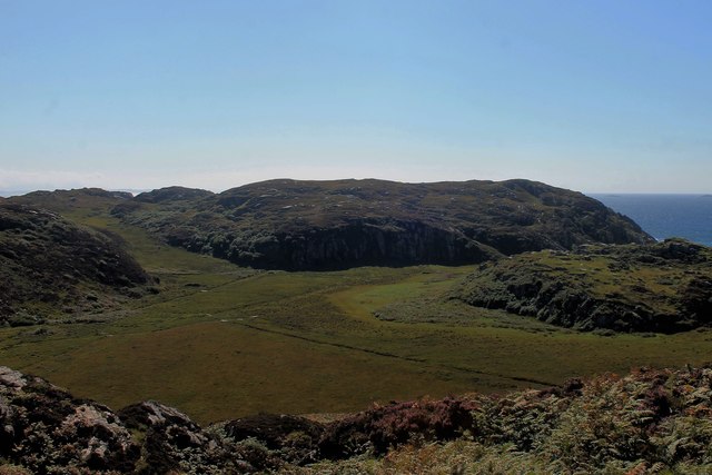
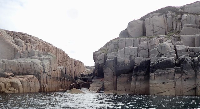
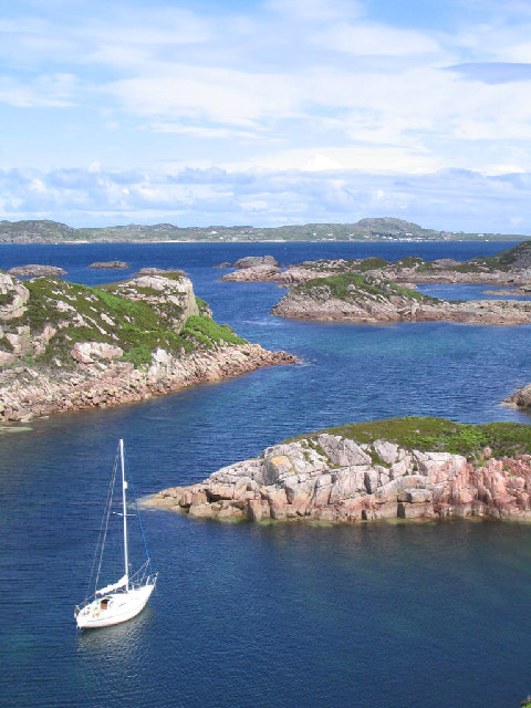
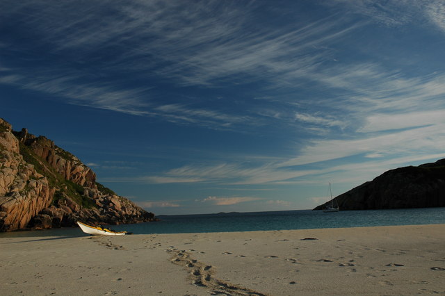
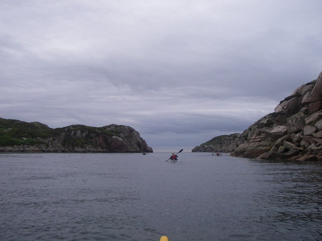
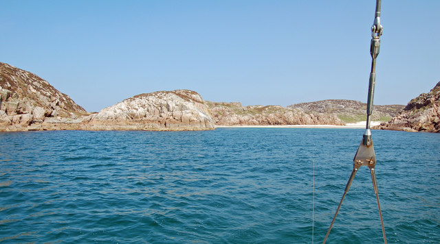
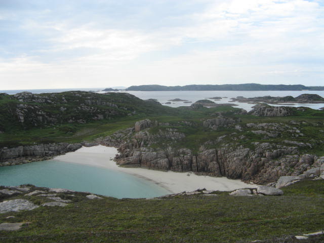
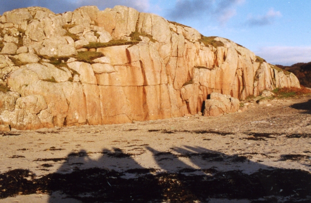
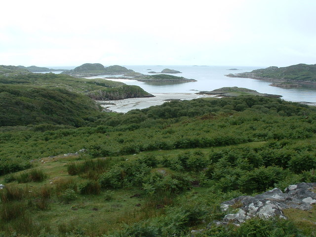
Covering an area of approximately 5 square kilometers, Am Baisteir is surrounded by crystal-clear waters and boasts breathtaking coastal landscapes. The island's terrain is characterized by rocky cliffs and rolling hills, providing ample opportunities for hiking and exploration. Its highest peak, Carn Mor, stands at an impressive 358 meters above sea level, offering panoramic views of the surrounding area.
The island is home to a diverse range of flora and fauna. Visitors may encounter various bird species, including puffins and eagles, as well as seals and dolphins in the surrounding waters. The rocky shores and hidden coves are ideal for beachcombing and discovering marine life.
Am Baisteir has a rich history, with evidence of human occupation dating back thousands of years. Ruins of ancient settlements and burial sites can be found throughout the island, providing a glimpse into its past. There are also remnants of a medieval castle, adding an air of mystery and intrigue to the island.
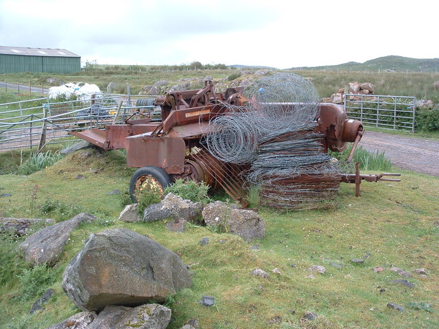
Despite its remote location, Am Baisteir offers some basic amenities for visitors, including accommodation options and a few small shops. However, it is important for visitors to come prepared, as the island is largely untouched and retains its natural charm.
Overall, Am Baisteir is a hidden gem in Argyllshire, offering a unique and tranquil escape surrounded by breathtaking landscapes and rich history.
If you have any feedback on the listing, please let us know in the comments section below.
Am Baisteir Images
Images are sourced within 2km of 56.281705/-6.3596314 or Grid Reference NM3018. Thanks to Geograph Open Source API. All images are credited.
Am Baisteir is located at Grid Ref: NM3018 (Lat: 56.281705, Lng: -6.3596314)
Unitary Authority: Argyll and Bute
Police Authority: Argyll and West Dunbartonshire
What 3 Words
///hides.imitate.together. Near Fionnphort, Argyll & Bute
Nearby Locations
Related Wikis

Erraid
Erraid (Scottish Gaelic: Eilean Earraid) is a tidal island approximately one mile (two kilometres) square located in the Inner Hebrides of Scotland. It...

Aridhglas
Aridhglas is a village on the Ross of Mull, Isle of Mull in Argyll and Bute, Scotland. == References ==

Sound of Iona
The Sound of Iona is a sound between the Inner Hebridean islands of Mull and Iona in western Scotland. It forms part of the Atlantic Ocean. The tidal...

Fionnphort
Fionnphort (English: , Scottish Gaelic: [ˈfjun̪ˠafɔrˠt̪]) is the principal port of the Ross of Mull, and the second largest settlement in the area (its...

Ross of Mull
The Ross of Mull (Scottish Gaelic: An Ros Mhuileach) is the largest peninsula of the Isle of Mull, about 28 kilometres (17 mi) long, and makes up the south...
Torran Rocks
The Torran Rocks are a group of small islands and skerries located between the islands of Mull and Colonsay in Scotland. == Geography and geology == The...

Bishop's House, Iona
Bishop's House is a retreat house for the Scottish Episcopal Church, located on the island of Iona, off the west coast of Scotland. == History == It was...

Iona Abbey
Iona Abbey is an abbey located on the island of Iona, just off the Isle of Mull on the West Coast of Scotland. It is one of the oldest Christian religious...
Related Videos

Fidden Farm Campsite (and how to find it) - vanlife explorers
Fidden Farm is a hidden gem. One of the best Campsites I've ever had the pleasure of visiting. From white sandy beaches and ...
Day 11 of 30 videos in 30 days. West Coast, Scotland
W travel from Bunessan to Fionnphort & discover a Fidden Gem of a campsite.

THANK YOU
Just a normal guy taking on new adventures from the oceans to the mountains.
Nearby Amenities
Located within 500m of 56.281705,-6.3596314Have you been to Am Baisteir?
Leave your review of Am Baisteir below (or comments, questions and feedback).