Eilean Sgarastaigh
Island in Ross-shire
Scotland
Eilean Sgarastaigh
Eilean Sgarastaigh, also known as Priest Island, is a small island located in Ross-shire, Scotland. Situated in the Inner Hebrides, it is positioned off the northwest coast of Scotland, near the village of Badachro. The island covers an area of around 65 acres and boasts a rugged and picturesque landscape.
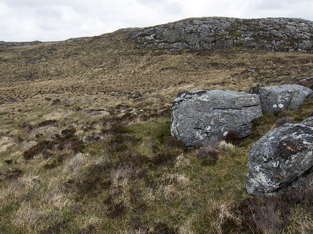
Eilean Sgarastaigh is uninhabited and is primarily composed of rocky terrain, with some grassy areas. The island is surrounded by the clear waters of Loch Gairloch, offering stunning views of the surrounding coastline and nearby mountains, such as Beinn Alligin and Beinn Dearg.
The island's name, Eilean Sgarastaigh, translates to "Island of the Nuns" in Gaelic, and it is believed that it was once home to a small religious community. Today, the ruins of a medieval chapel can still be found on the island, adding to its historical charm.
Due to its secluded location, Eilean Sgarastaigh is a popular destination for nature enthusiasts, birdwatchers, and photographers. The island is home to a variety of bird species, including guillemots, razorbills, and puffins, making it a haven for birdwatching enthusiasts.
Access to Eilean Sgarastaigh is possible by boat, and visitors can explore the island's rugged coastline, take in the breathtaking views, and immerse themselves in the peaceful and untouched natural beauty it offers.
If you have any feedback on the listing, please let us know in the comments section below.
Eilean Sgarastaigh Images
Images are sourced within 2km of 58.193569/-6.7754757 or Grid Reference NB1932. Thanks to Geograph Open Source API. All images are credited.


Eilean Sgarastaigh is located at Grid Ref: NB1932 (Lat: 58.193569, Lng: -6.7754757)
Unitary Authority: Na h-Eileanan an Iar
Police Authority: Highlands and Islands
What 3 Words
///hunches.promotion.case. Near Carloway, Na h-Eileanan Siar
Nearby Locations
Related Wikis

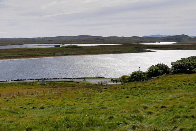
Eilean Chearstaidh
Eilean Kearstay (Scottish Gaelic: Eilean Chearstaigh) is an uninhabited island in Loch Roag in the Outer Hebrides of Scotland. It lies south east of Great...

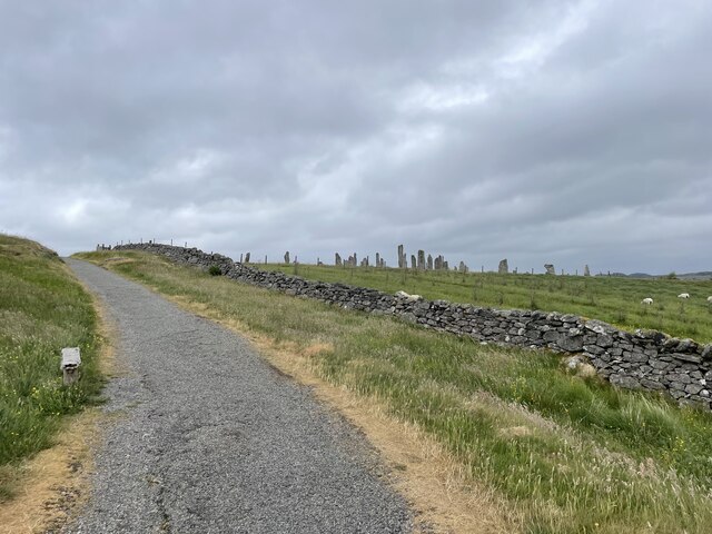
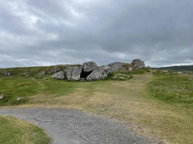
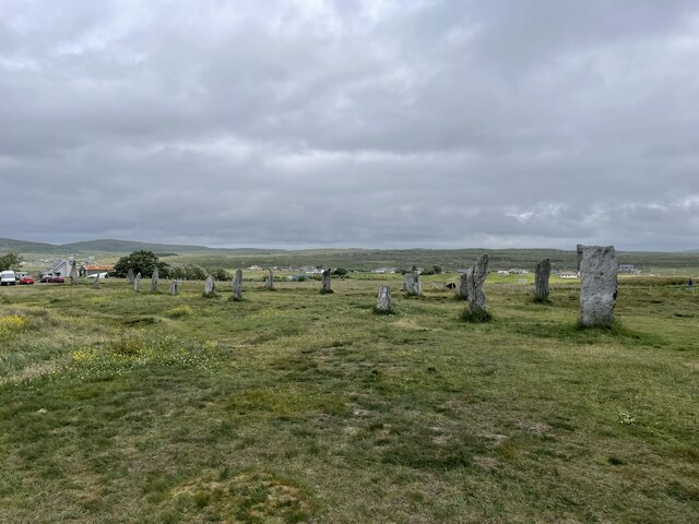
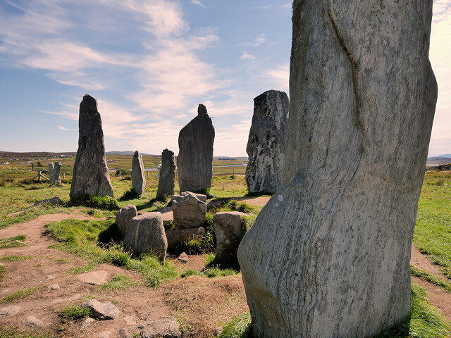
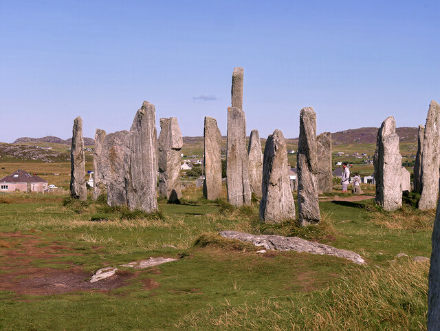
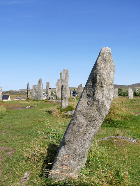
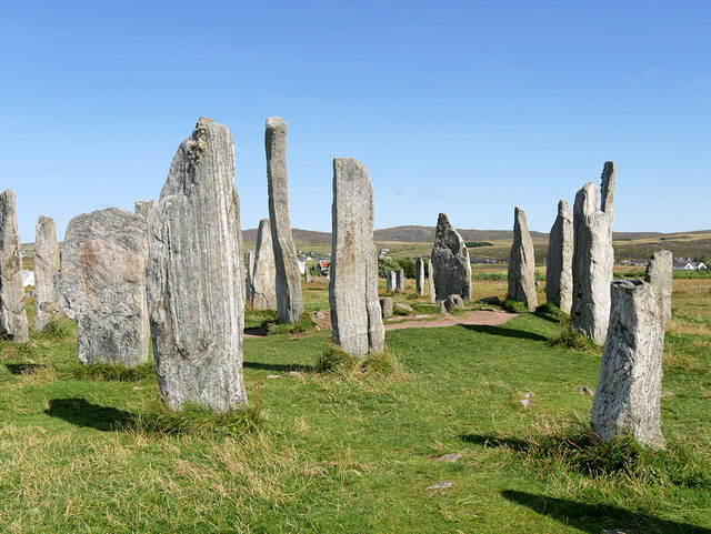
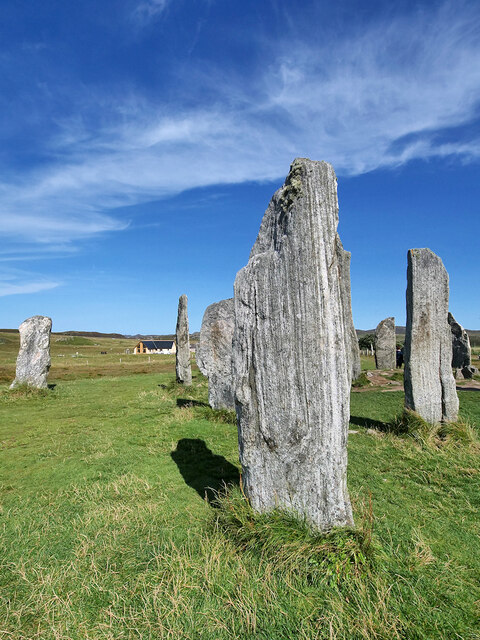
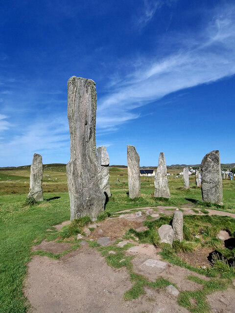
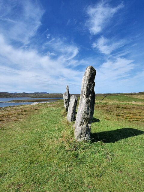
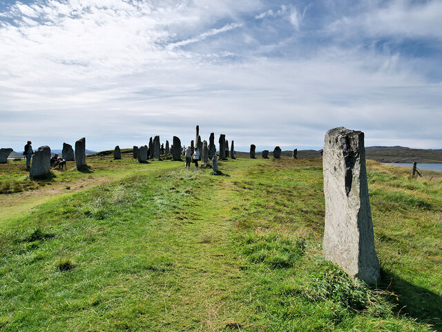
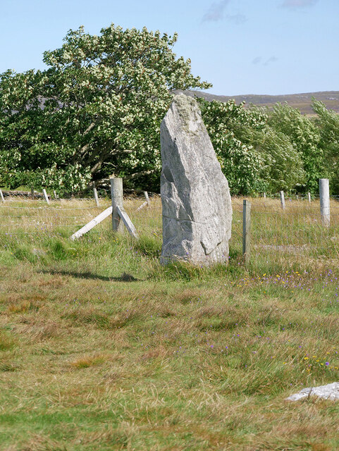
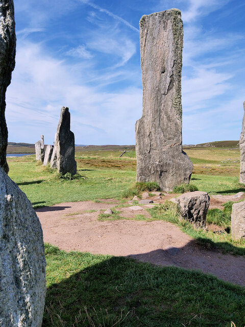
Callanish Stones
The Callanish Stones (or "Callanish I": Scottish Gaelic: Clachan Chalanais or Tursachan Chalanais) are an arrangement of standing stones placed in a cruciform...

Callanish
Callanish (Scottish Gaelic: Calanais) is a village (township) on the west side of the Isle of Lewis, in the Outer Hebrides (Western Isles), Scotland. Callanish...
Ceabhaigh
Ceabhaigh is a small island in an arm of Loch Ròg on the west coast of Lewis in the Outer Hebrides of Scotland. It is about 25 hectares (62 acres) in extent...
Nearby Amenities
Located within 500m of 58.193569,-6.7754757Have you been to Eilean Sgarastaigh?
Leave your review of Eilean Sgarastaigh below (or comments, questions and feedback).