Eilean nan Gearr
Island in Inverness-shire
Scotland
Eilean nan Gearr
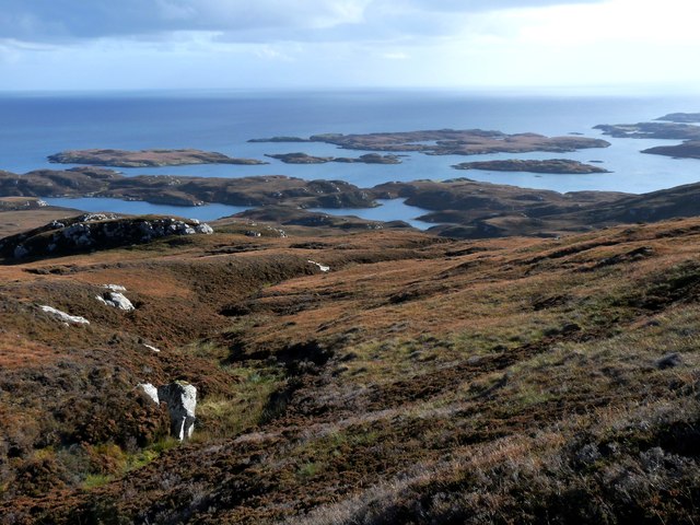
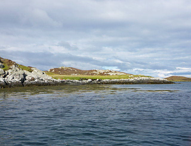
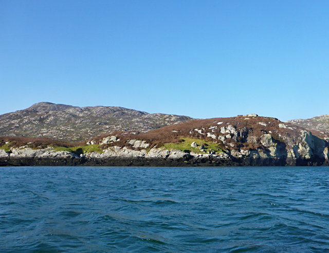
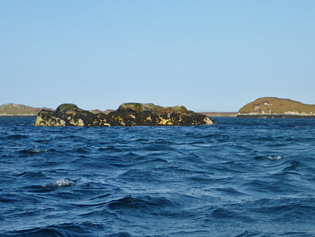
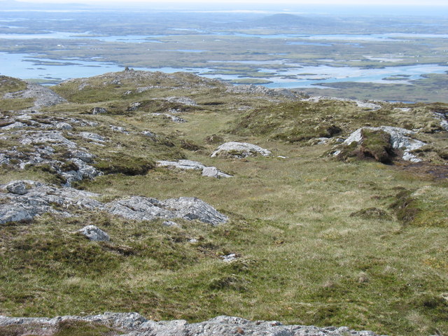
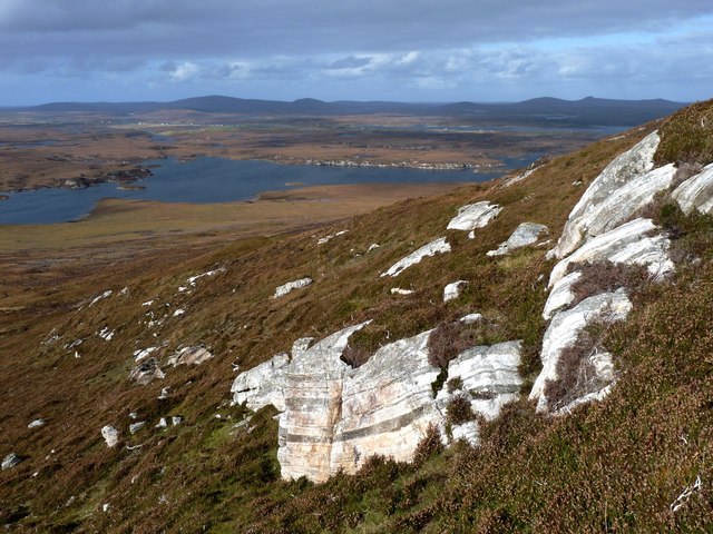
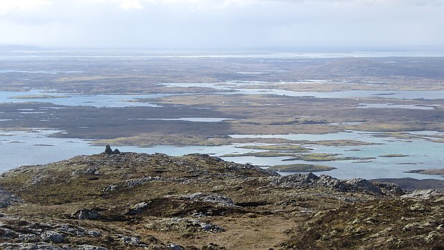
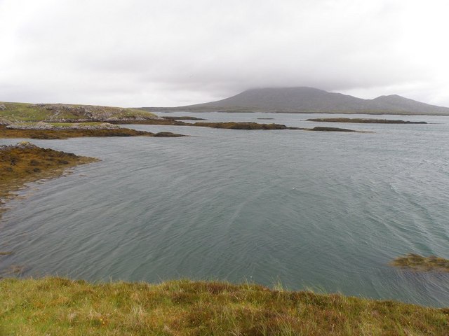
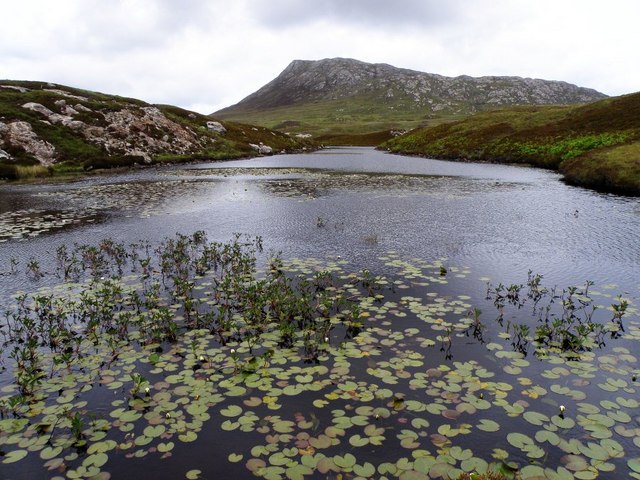
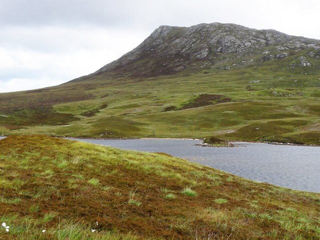
Eilean nan Gearr, located in Inverness-shire, Scotland, is a small island situated in the picturesque Loch Maree. With an area of approximately 0.7 hectares, this island is known for its natural beauty and historical significance. The name "Eilean nan Gearr" translates to "island of the short," which likely refers to its relatively small size.
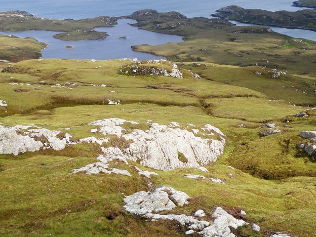
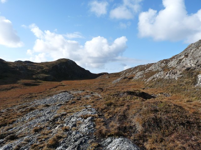
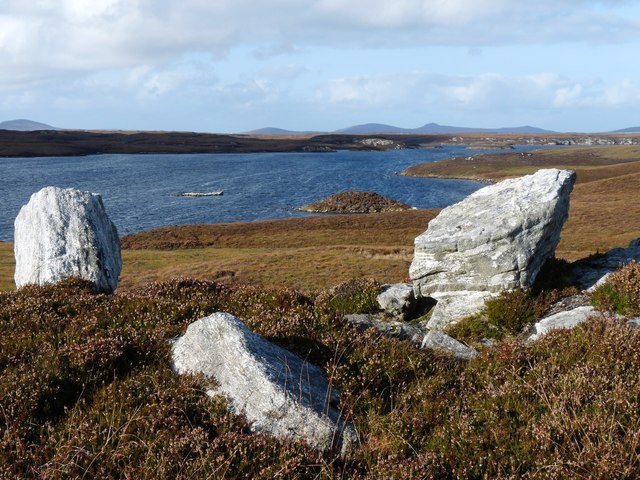
The island is covered in lush green vegetation, including various species of trees and shrubs, providing a serene and tranquil environment. It offers breathtaking views of the surrounding mountains and the tranquil waters of Loch Maree, making it a popular destination for nature enthusiasts and photographers.
Eilean nan Gearr is also known for its fascinating history. The island is home to a ruined chapel, believed to have been built in the 8th century. This historical site adds to the island's charm and attracts history buffs and archaeology enthusiasts.
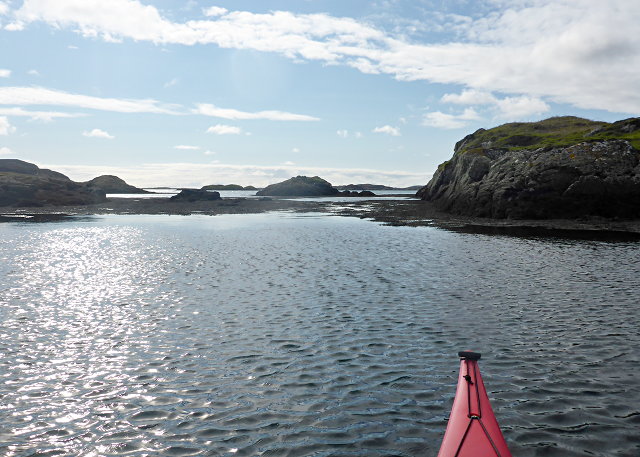
Accessing Eilean nan Gearr is possible by boat or kayak, as there are no direct roads or bridges connecting it to the mainland. Visitors can explore the island's walking trails, which allow for a closer look at its natural wonders and historical landmarks. Birdwatchers can also enjoy spotting various avian species that inhabit the island, including eagles, herons, and ospreys.
Overall, Eilean nan Gearr offers a unique blend of natural beauty and historical significance, providing a fascinating and peaceful retreat for those seeking to immerse themselves in Scotland's stunning landscape and rich heritage.
If you have any feedback on the listing, please let us know in the comments section below.
Eilean nan Gearr Images
Images are sourced within 2km of 57.508536/-7.1916293 or Grid Reference NF8958. Thanks to Geograph Open Source API. All images are credited.


Eilean nan Gearr is located at Grid Ref: NF8958 (Lat: 57.508536, Lng: -7.1916293)
Unitary Authority: Na h-Eileanan an Iar
Police Authority: Highlands and Islands
What 3 Words
///bottom.improves.speedily. Near Lochmaddy, Na h-Eileanan Siar
Nearby Locations
Related Wikis

Flodaigh Mòr
Flodaigh Mòr (or Floddaymore) is an uninhabited island in the Outer Hebrides of Scotland. == Geography and geology == Flodaigh Mòr lies east of North Uist...

Ronay
Ronay (Scottish Gaelic: Rònaigh) is an island in the Outer Hebrides of Scotland, which lies a short distance off the east coast of Grimsay. == Geography... ==

Fraoch-Eilean
Fraoch-eilean is a small island with an uncertain population north of Benbecula in the Outer Hebrides of Scotland. It is about 55 hectares (140 acres...
Grimsay
Grimsay (Scottish Gaelic: Griomasaigh) is a tidal island in the Outer Hebrides of Scotland. == Geography == Grimsay is the largest of the low-lying stepping...
Nearby Amenities
Located within 500m of 57.508536,-7.1916293Have you been to Eilean nan Gearr?
Leave your review of Eilean nan Gearr below (or comments, questions and feedback).