Goatmilk Hills
Range Of Mountains, Range Of Hills in Fife
Scotland
Goatmilk Hills
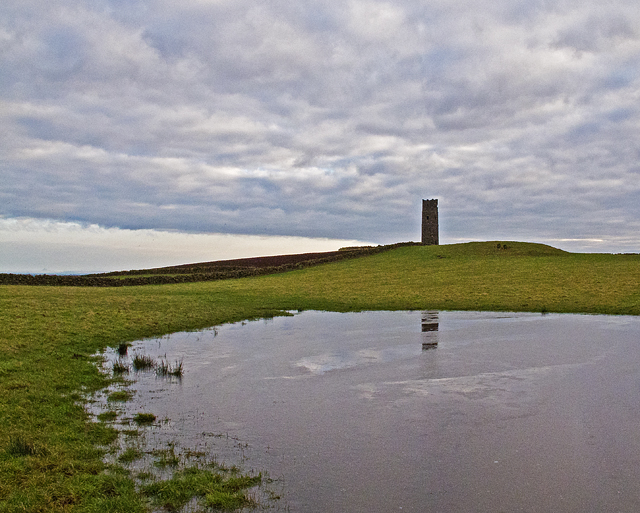
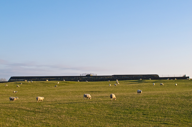
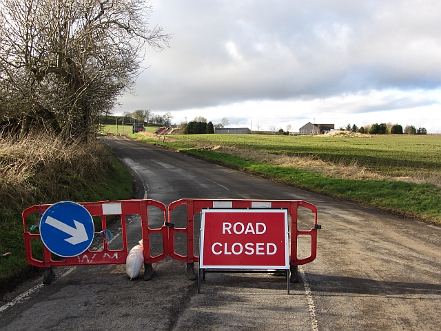
Goatmilk Hills, located in Fife, Scotland, is a range of hills that stretches across the central part of the county. Situated approximately 15 miles northwest of the town of Kirkcaldy, this range is a prominent feature of the landscape and offers stunning views of the surrounding area.
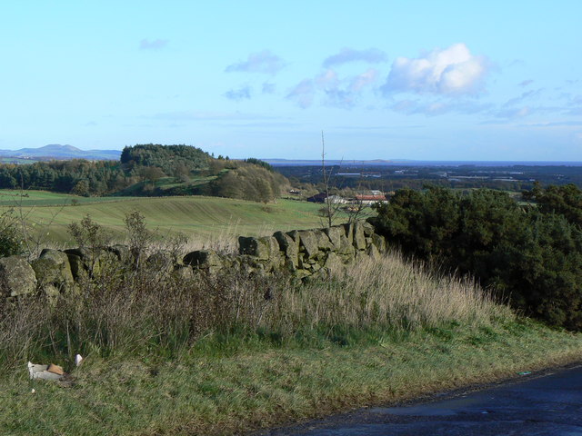
The Goatmilk Hills, also referred to as the Goatmilk Mountain Range, are part of the larger Ochil Hills that extend into other regions of Scotland. With an average height of around 500 meters (1,640 feet), these hills provide a picturesque backdrop for the nearby towns and villages.
The name "Goatmilk Hills" is derived from the abundance of wild goats that used to roam the area. Although the goats are no longer present, the name has stuck and is now synonymous with the range.
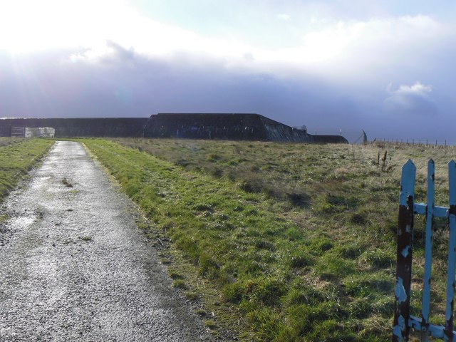
The hills are characterized by their rolling slopes and lush green vegetation, which makes them a popular destination for hikers, nature enthusiasts, and photographers. Numerous trails and paths wind through the hills, allowing visitors to explore and appreciate the natural beauty of the area.
In addition to their natural beauty, the Goatmilk Hills also have historical significance. The remains of ancient settlements, burial mounds, and stone circles can be found scattered throughout the range, providing a glimpse into the area's rich past.
Overall, Goatmilk Hills in Fife offer a unique blend of natural beauty, recreational opportunities, and historical significance. Whether it's hiking, photography, or simply enjoying the peaceful surroundings, this range of hills has something to offer for everyone.
If you have any feedback on the listing, please let us know in the comments section below.
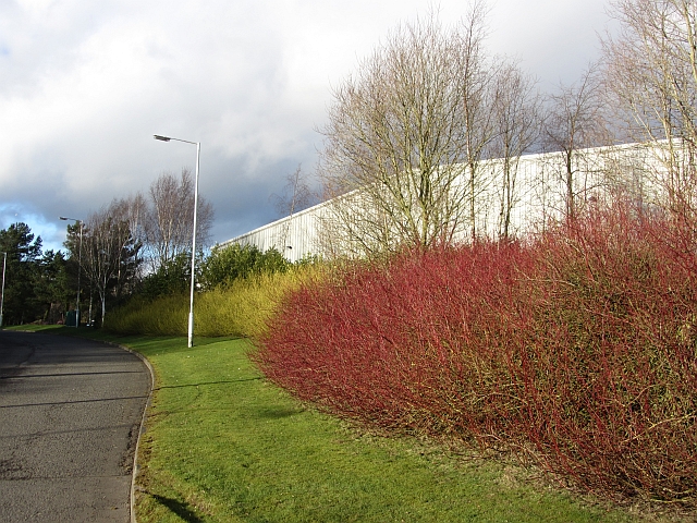
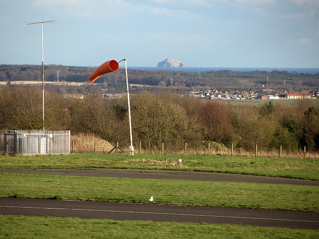
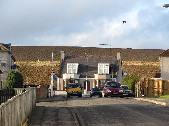
Goatmilk Hills Images
Images are sourced within 2km of 56.186885/-3.2173467 or Grid Reference NO2400. Thanks to Geograph Open Source API. All images are credited.
Goatmilk Hills is located at Grid Ref: NO2400 (Lat: 56.186885, Lng: -3.2173467)
Unitary Authority: Fife
Police Authority: Fife
What 3 Words
///lows.removers.used. Near Leslie, Fife
Nearby Locations
Related Wikis
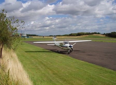
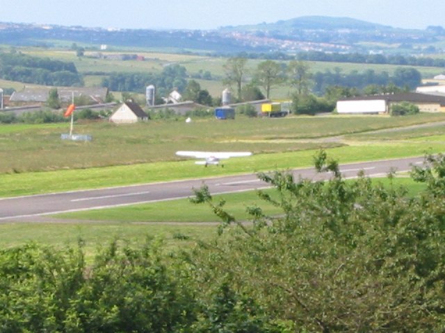
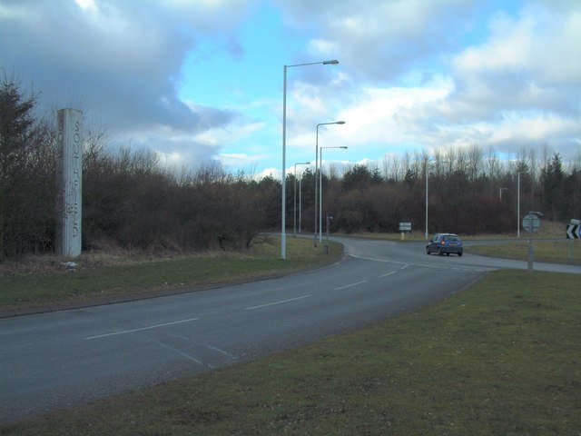
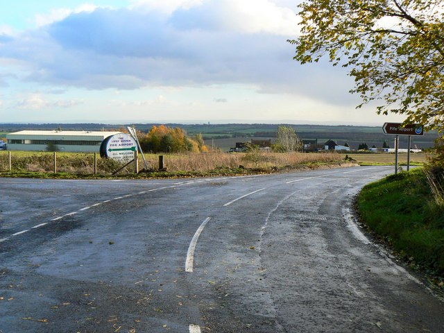
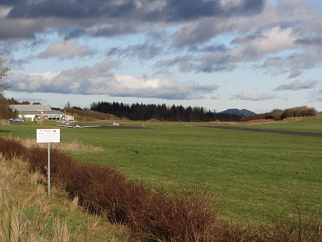
Fife Airport
Fife Airport (ICAO: EGPJ) (Scottish Gaelic: Port-adhair Fìobha) is an unlicensed aerodrome located 2 nautical miles (3.7 km; 2.3 mi) west of Glenrothes...

Leslie railway station
Leslie railway station served the village of Leslie, Fife, Scotland, from 1861 to 1932 on the Leslie Railway. == History == The station was opened on 1...

Glenwood High School, Glenrothes
Glenwood High School is a comprehensive, co-educational and non-denominational school serving the western part of the town of Glenrothes, Fife, Scotland...

Leslie, Fife
Leslie (Scottish Gaelic: Fiodh Chill) is a large village and parish on the northern tip of the River Leven Valley, to the west of Glenrothes in Fife. According...

Glenrothes High School
Glenrothes High School is a six-year non-denominational secondary school of approximately 860 pupils located in Glenrothes, Fife, Scotland. The school...

Leslie House
Leslie House in Leslie, Fife — where several of the buildings are listed — is the largest and earliest Restoration house in Fife, Scotland, and was the...

Kinglassie
Kinglassie (Scottish Gaelic: Cill Ghlaise) is a small village and parish in central Fife, Scotland. It is located two miles southwest of Glenrothes. It...
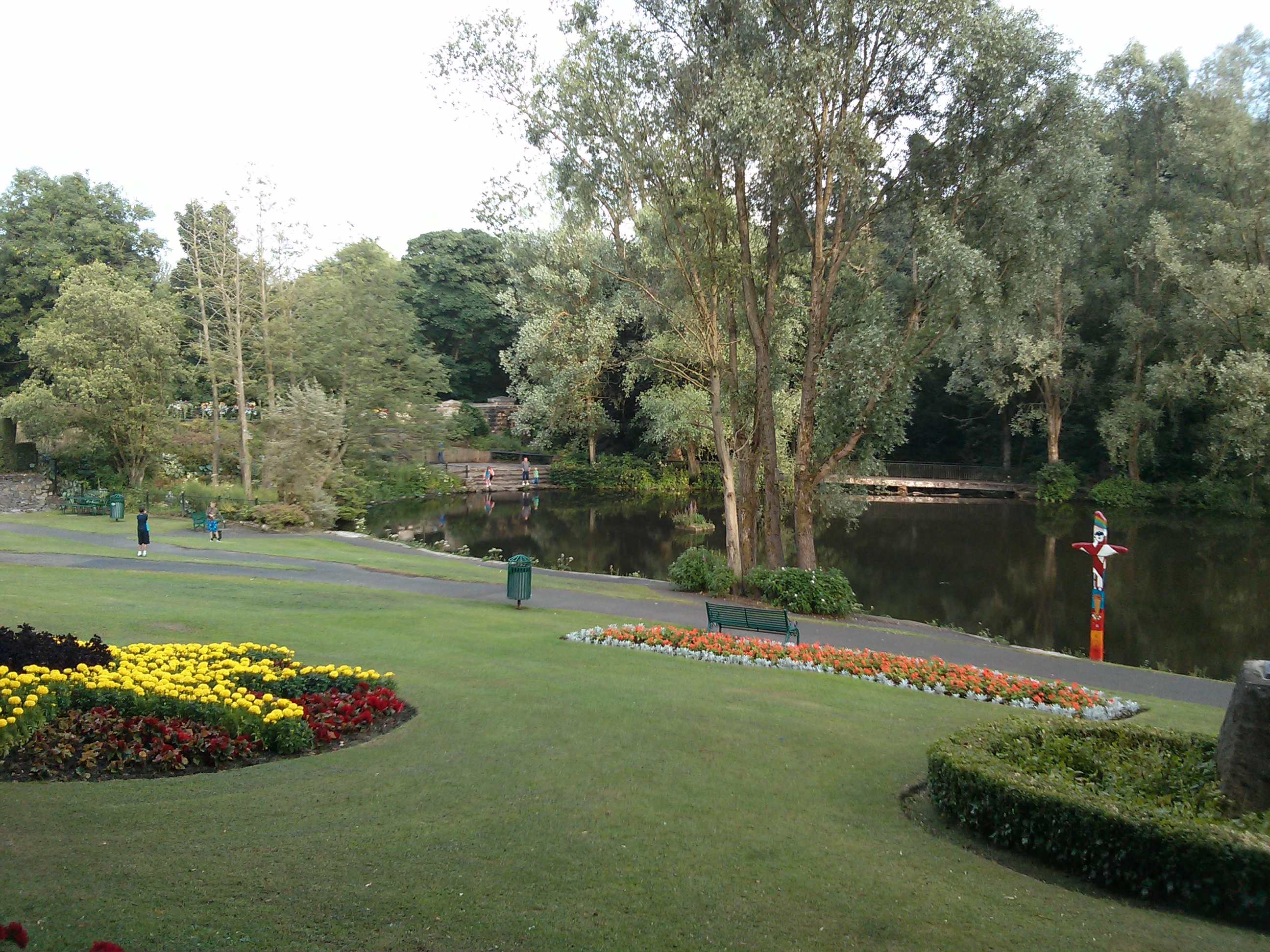
Riverside Park, Glenrothes
Riverside Park is a town park situated in the town of Glenrothes, Fife. The park has pleasant woodland walks, floral gardens, a pond and recently an Arboretum...
Nearby Amenities
Located within 500m of 56.186885,-3.2173467Have you been to Goatmilk Hills?
Leave your review of Goatmilk Hills below (or comments, questions and feedback).