The Black Mountains

Range Of Mountains, Range Of Hills in Brecknockshire

Wales

The Black Mountains

Waun Fach summit The summit of Waun Fach: 811 metres. There is a small cairn and a rock with a round "OS" tab attached to it.
Waun Fach summit Credit: Oscar

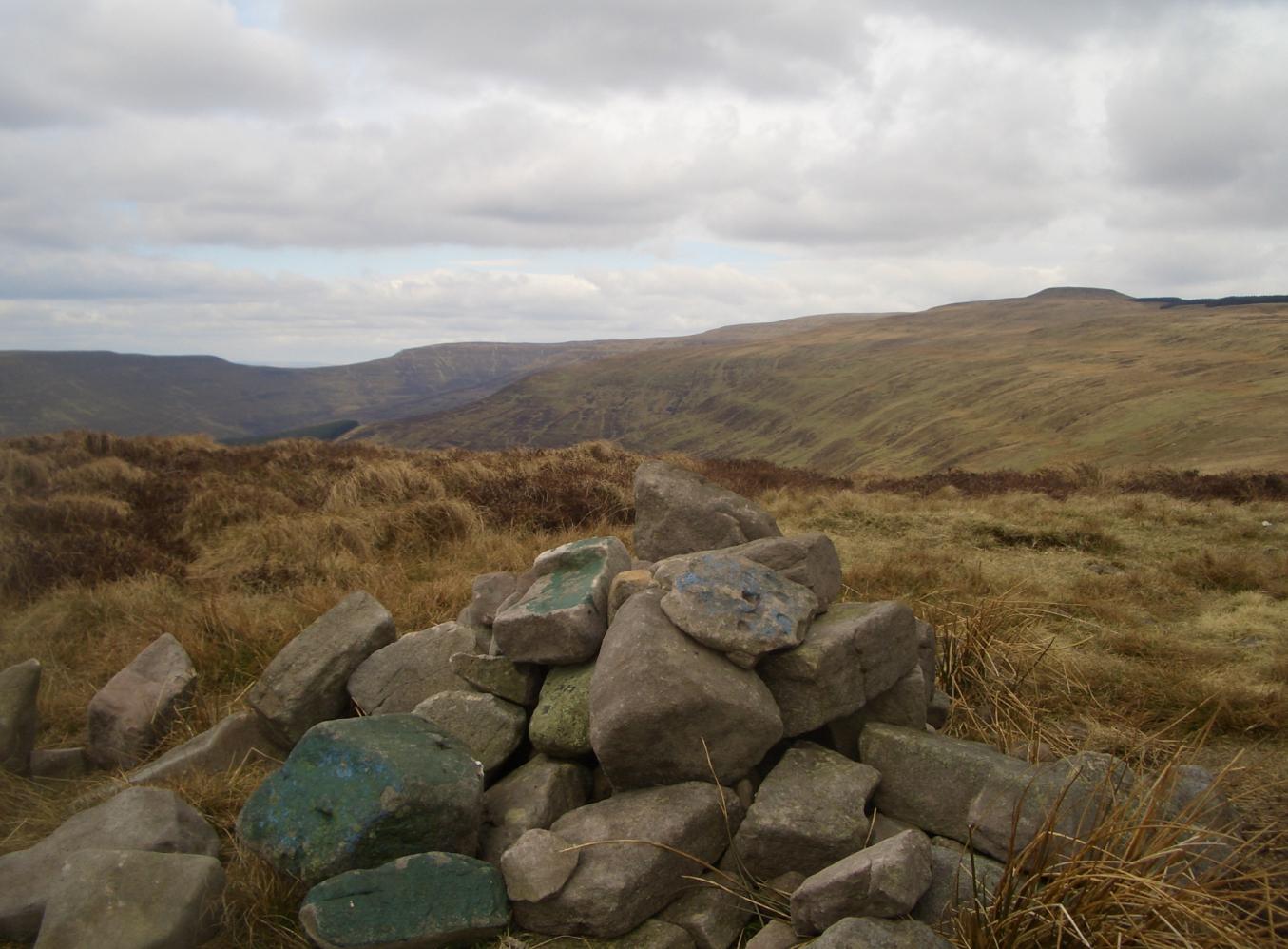
The Black Mountains, also known as Y Mynyddoedd Duon in Welsh, is a prominent range of hills located in the county of Brecknockshire in Wales, United Kingdom. Situated within the Brecon Beacons National Park, the Black Mountains form part of the Central Beacons and serve as a natural border between the historic counties of Brecknockshire and Monmouthshire.

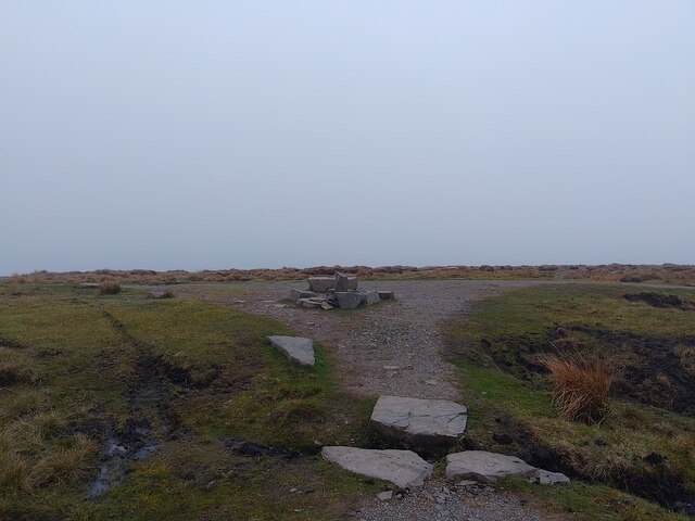
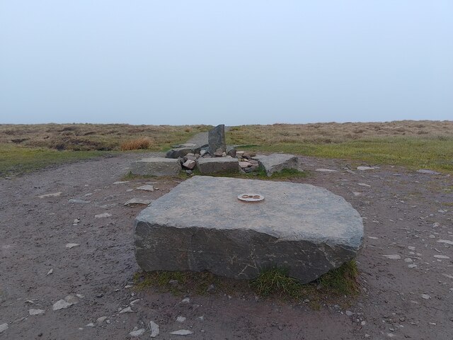
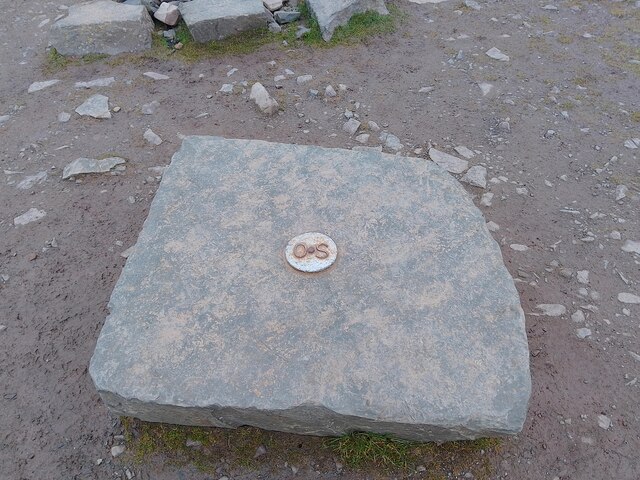
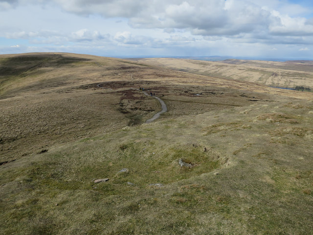
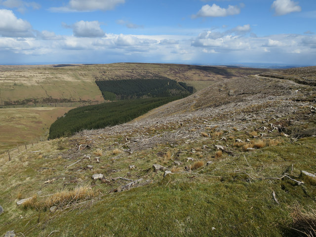
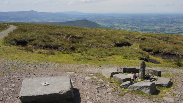
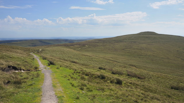
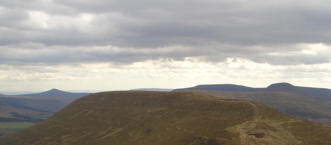
Stretching over an area of approximately 42 square miles, the Black Mountains boast a diverse and picturesque landscape. The range comprises several peaks, the highest of which is Waun Fach, standing at 811 meters (2,661 feet) above sea level. Other notable peaks include Pen y Gadair Fawr, Black Mountain, and Rhos Dirion.

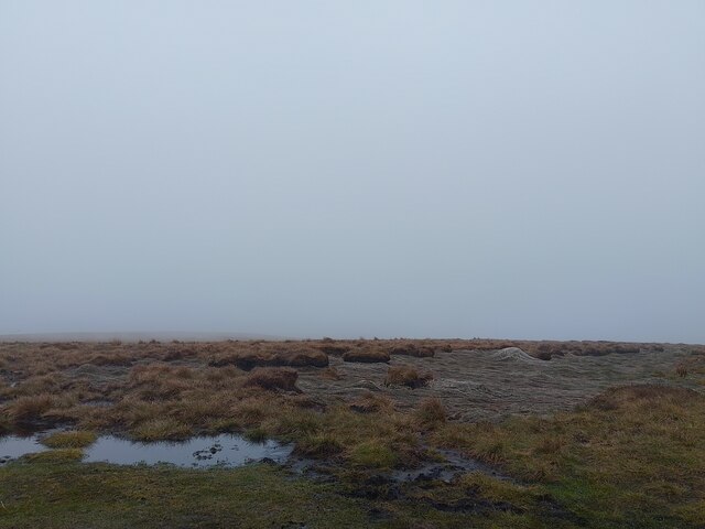
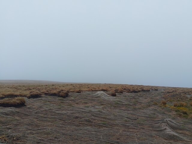
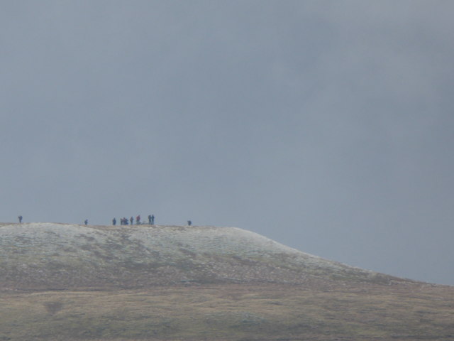
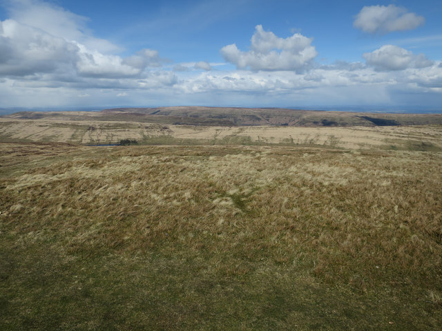
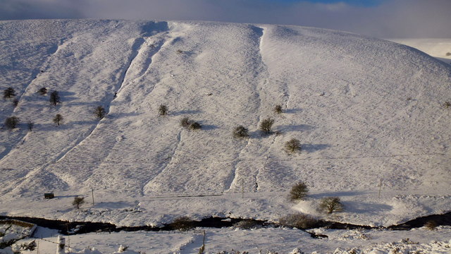
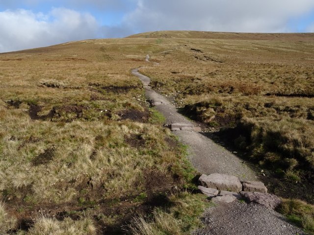
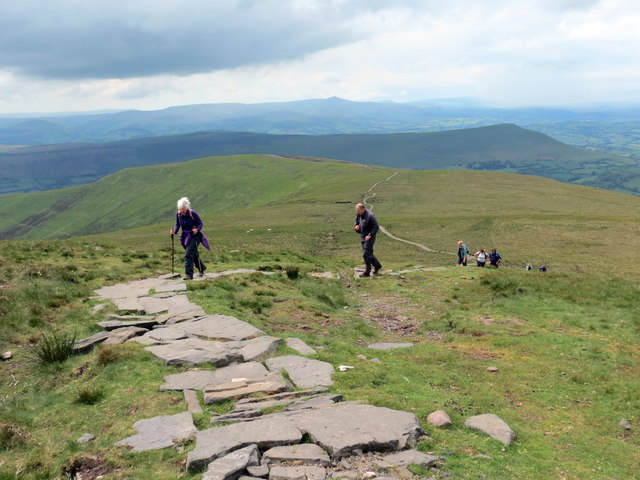
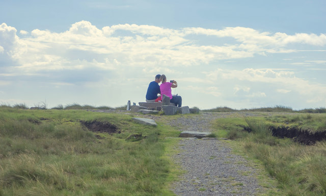
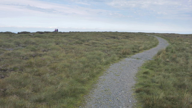
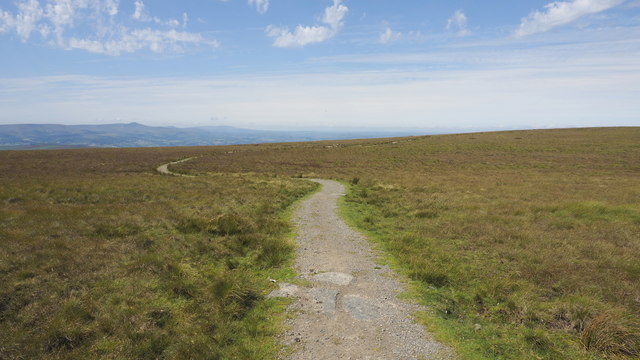
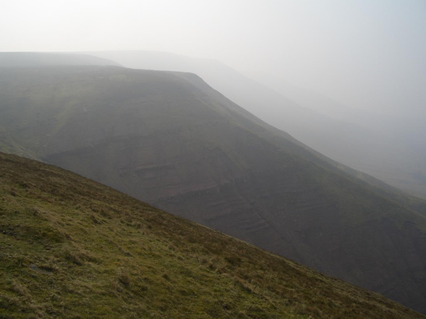
The Black Mountains offer breathtaking views and are renowned for their rugged beauty, with vast expanses of heather-covered moorland, deep valleys, and cascading waterfalls. The hills are crisscrossed by a network of footpaths and trails, making it a popular destination for hikers, walkers, and nature enthusiasts.

The area is rich in flora and fauna, with a variety of plant species such as bilberry, heather, and wildflowers adorning the landscape. The hills also provide a habitat for diverse wildlife, including red kites, peregrine falcons, and rare species of butterflies.

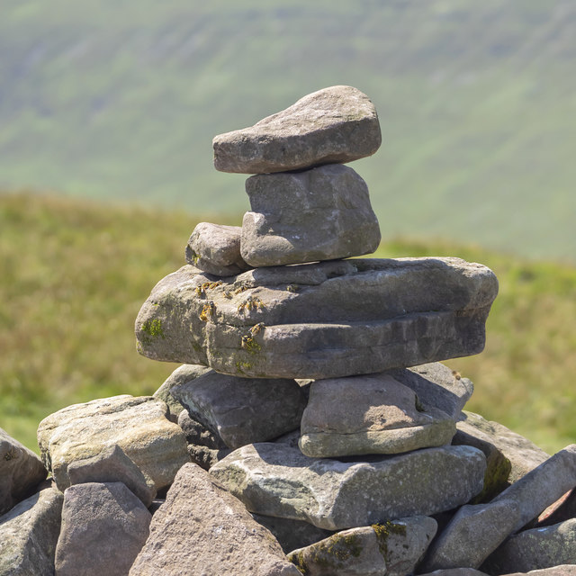
In addition to its natural beauty, the Black Mountains hold historical significance, with ancient hillforts and burial sites scattered throughout the area. The hills are also associated with Welsh folklore and legends, adding a touch of mystique to their allure.

Overall, the Black Mountains in Brecknockshire offer a captivating blend of natural splendor, outdoor activities, and cultural heritage, making them a cherished destination for locals and tourists alike.

If you have any feedback on the listing, please let us know in the comments section below.

The Black Mountains Images

Images are sourced within 2km of 51.96081/-3.1226487 or Grid Reference SO2229. Thanks to Geograph Open Source API. All images are credited.

Waun Fach summit The summit of Waun Fach: 811 metres. There is a small cairn and a rock with a round "OS" tab attached to it.
Waun Fach summit
The summit of Waun Fach: 811 metres. There is a small cairn and a rock with a round "OS" tab attached to it.
Waun Fach summit The summit of Waun Fach: 811 metres. There is a small cairn and a rock with a round "OS" tab attached to it.
Waun Fach summit
The summit of Waun Fach: 811 metres. There is a small cairn and a rock with a round "OS" tab attached to it.
Waun Fach summit stone A stone at the summit of Waun Fach: 811 metres.
Waun Fach summit stone
A stone at the summit of Waun Fach: 811 metres.
Waun Fach Looking across Waun Fach, a mountain. The netting here looked as if it had been there for a long time.
Waun Fach
Looking across Waun Fach, a mountain. The netting here looked as if it had been there for a long time.
Waun Fach netting Looking across Waun Fach, a mountain. The netting here looked as if it had been there for a long time.
Waun Fach netting
Looking across Waun Fach, a mountain. The netting here looked as if it had been there for a long time.
View to Pen y Gadair Fawr in the Black Mountains Walkers on the summit in chilly conditions, viewed from near the Blacksmith's Anvil on the adjacent Ffawyddog ridge above Capel-y-ffin.
View to Pen y Gadair Fawr in the Black Mountains
Walkers on the summit in chilly conditions, viewed from near the Blacksmith's Anvil on the adjacent Ffawyddog ridge above Capel-y-ffin.
Pen y Gadair Fawr Looking towards Waun Fach along the broad ridge. A path has been made and cut heather has been brought up by helicopter and spread on the exposed peat to help preserve the peat.
Pen y Gadair Fawr
Looking towards Waun Fach along the broad ridge. A path has been made and cut heather has been brought up by helicopter and spread on the exposed peat to help preserve the peat.
Pen y Gadair Fawr Looking east over the ridges of the Black Mountains, from the second highest top in the area.
Pen y Gadair Fawr
Looking east over the ridges of the Black Mountains, from the second highest top in the area.
Harvested plantation The (former) edge of Mynydd Du Forest.
Harvested plantation
The (former) edge of Mynydd Du Forest.
Hillside above Grwyne fawr The stream flows from right to left. The angle of the sun on the snow picks out the fine details of the topography.
Hillside above Grwyne fawr
The stream flows from right to left. The angle of the sun on the snow picks out the fine details of the topography.
Path to Waun Fach Path to Waun Fach which can be seen in the background; at 811m it is the highest point in the Black Mountains.
Path to Waun Fach
Path to Waun Fach which can be seen in the background; at 811m it is the highest point in the Black Mountains.
Llwybr Waun Fach / Waun Fach Path Cerddwyr yn agosau at gopa Waun Fach. Mae llawer o welliannau wedi cael eu gwneud ar y llwybr hwn. 

Walkers approaching the summit of Waun Fach (trans. small wet area). This path has undergone vast improvement.
Llwybr Waun Fach / Waun Fach Path
Cerddwyr yn agosau at gopa Waun Fach. Mae llawer o welliannau wedi cael eu gwneud ar y llwybr hwn. Walkers approaching the summit of Waun Fach (trans. small wet area). This path has undergone vast improvement.
Sitting on top of the Black Mountains This couple are taking a selfie whilst the geographer coming up the hill from the north is taking a cross-grid contribution to Geograph.org.
Sitting on top of the Black Mountains
This couple are taking a selfie whilst the geographer coming up the hill from the north is taking a cross-grid contribution to Geograph.org.
Cairn on Pen y Gadair Fawr, 1 No rest for the weary hill walker on the second highest top of the Black Mountains!
Some wasps have made the cairn a temporary home.
Cairn on Pen y Gadair Fawr, 1
No rest for the weary hill walker on the second highest top of the Black Mountains! Some wasps have made the cairn a temporary home.
OS marker, Waun Fach About 5m into the gridsquare, looking due west towards the two other South Wales tops, Pen Y Fan and The Black Mountain (Fan Brychieniog).
This is the seat for the selfie-takers in <a href="https://www.geograph.org.uk/photo/6564004">SO2129 : Sitting on top of the Black Mountains</a>.
OS marker, Waun Fach
About 5m into the gridsquare, looking due west towards the two other South Wales tops, Pen Y Fan and The Black Mountain (Fan Brychieniog). This is the seat for the selfie-takers in SO2129 : Sitting on top of the Black Mountains.
Waun Fach, 1 The flat top of the high point of the Black Mountains.
The selfie takers in <a href="https://www.geograph.org.uk/photo/6564004">SO2129 : Sitting on top of the Black Mountains</a> can be seen at the OS point.
Waun Fach, 1
The flat top of the high point of the Black Mountains. The selfie takers in SO2129 : Sitting on top of the Black Mountains can be seen at the OS point.
Waun Fach, 2 A view across the Waun Fach plateau with the Beacons in the distance.
Waun Fach, 2
A view across the Waun Fach plateau with the Beacons in the distance.
View over the col, 1 Looking towards Pen y Gadair Fawr from the edge of the Waun Fach plateau.
View over the col, 1
Looking towards Pen y Gadair Fawr from the edge of the Waun Fach plateau.
Show me another place!

The Black Mountains is located at Grid Ref: SO2229 (Lat: 51.96081, Lng: -3.1226487)

Unitary Authority: Powys

Police Authority: Dyfed Powys

What 3 Words

///retail.sheds.trick. Near Llanveynoe, Herefordshire

Nearby Locations

The Black Mountains

Related Wikis

Grwyne Fawr Reservoir

The Grwyne Fawr Reservoir is located in the valley of the river Grwyne Fawr in the Brecon Beacons National Park, Wales. Completed in 1928, it has the capacity...

Waun Fach

Waun Fach is, with a summit height of 811 metres (2,661 ft), the highest mountain in the Black Mountains in south-eastern Wales. It is one of the three...

Pen Twyn Glas

Pen Twyn Glas is a top of Pen Allt-mawr in the Black Mountains in south-eastern Wales. It lies in between Pen Allt-mawr and Mynydd Llysiau. The summit...

Mynydd Llysiau

Mynydd Llysiau is a subsidiary summit of Waun Fach in the Black Mountains in south-eastern Wales. It lies halfway between Waun Fach and Pen Allt-mawr....

Rhos Dirion

Rhos Dirion is a top of Waun Fach in the Black Mountains in south-eastern Wales. It is the highest point on the Rhos Dirion - Chwarel y Fan ridge. The...

Pen Twyn Mawr

Pen Twyn Mawr is a top of Pen y Gadair Fawr in the Black Mountains in south-eastern Wales. It lies on one of the many south ridges of Waun Fach. The summit...

Pen y Gadair Fawr

Pen y Gadair Fawr is an 800 metres (2,625 ft) high subsidiary summit of Waun Fach and the second highest peak in the Black Mountains in south-eastern Wales...

Black Mountains, Wales

The Black Mountains (Welsh: Y Mynydd Du or sometimes Y Mynyddoedd Duon) are a group of hills spread across parts of Powys and Monmouthshire in southeast...

Have you been to The Black Mountains?

Leave your review of The Black Mountains below (or comments, questions and feedback).