Hagg Hills

Range Of Mountains, Range Of Hills in Lancashire Barrow-in-Furness

England

Hagg Hills

Dalton Junction
Dalton Junction Credit: Peter McDermott

Hagg Hills, located in Lancashire, England, is a range of hills that stretches across the northern part of the county. This picturesque landscape is renowned for its natural beauty and stunning views, attracting both locals and tourists alike.

The range, characterized by its rolling hills and valleys, offers a diverse and varied terrain. The highest peak in the area stands at around 500 meters, providing breathtaking panoramic vistas of the surrounding countryside. The hills are predominantly covered in lush greenery, with patches of woodland interspersed throughout, creating a rich and diverse ecosystem.

Hagg Hills is home to a wide range of wildlife, including various species of birds, mammals, and plant life. The hills provide a natural habitat for many rare and protected species, making it an important area for conservation efforts.

The area is also popular among outdoor enthusiasts, offering numerous walking and hiking trails that cater to all levels of fitness and ability. These trails meander through the hills, offering stunning views and opportunities for wildlife spotting. Hagg Hills is a haven for nature lovers, providing a peaceful and tranquil escape from the hustle and bustle of city life.

In addition to its natural beauty, Hagg Hills also boasts a rich cultural heritage. The area is dotted with ancient ruins and historical landmarks, offering a glimpse into Lancashire's past. Visitors can explore the remnants of old settlements and stone structures, providing a unique insight into the region's history.

Overall, Hagg Hills in Lancashire is a captivating destination, offering a perfect blend of natural beauty, outdoor recreation, and historical significance.

If you have any feedback on the listing, please let us know in the comments section below.
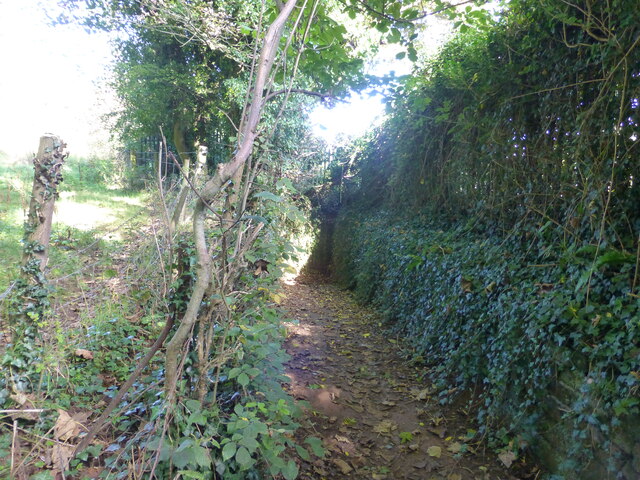
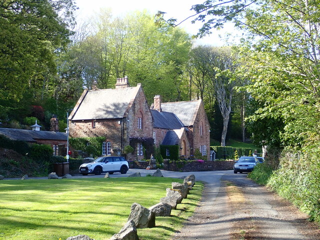
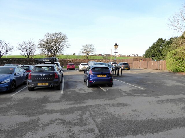
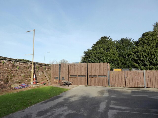
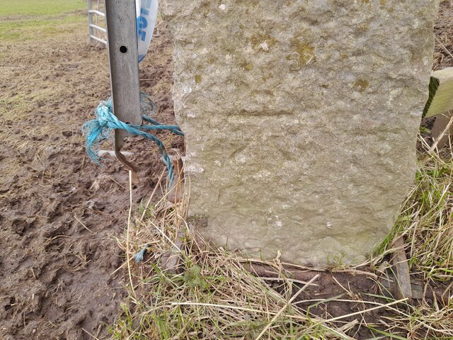
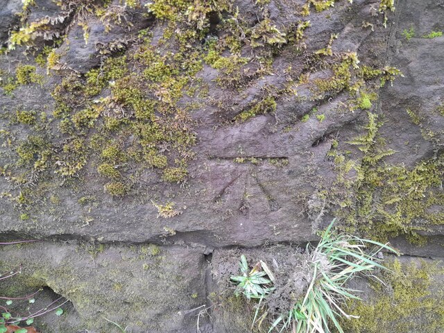
Hagg Hills Images

Images are sourced within 2km of 54.155674/-3.1935301 or Grid Reference SD2273. Thanks to Geograph Open Source API. All images are credited.

Dalton Junction
Dalton Junction
Dalton-in-Furness Car show room on High Street in Dalton-on-Furness.
Dalton-in-Furness
Car show room on High Street in Dalton-on-Furness.
North Lodge
North Lodge
Market Street Market Street in Dalton-in-Furness.
Market Street
Market Street in Dalton-in-Furness.
Abbey Heights Housing development.
Abbey Heights
Housing development.
Dalton Tunnel The south portal of Dalton Tunnel.
Dalton Tunnel
The south portal of Dalton Tunnel.
Dalton in Furness station
DaltonCastle
DaltonCastle
The Brown Cow Inn at Dalton
Railway Bridge near Dalton
Footbridge near Millwood Manor
Path to Vale of Nightshade The path leads down under the low railway bridge to the Vale of Nightshade
Path to Vale of Nightshade
The path leads down under the low railway bridge to the Vale of Nightshade
Furness Abbey Cottage The cottage was built as a coachman's house to serve the Furness Railway Company's Furness Abbey Hotel. It is listed Grade II.
Furness Abbey Cottage
The cottage was built as a coachman's house to serve the Furness Railway Company's Furness Abbey Hotel. It is listed Grade II.
Abbey House Hotel car park The car park of Abbey House Hotel with a classic example of inconsiderate parking.
Abbey House Hotel car park
The car park of Abbey House Hotel with a classic example of inconsiderate parking.
Abbey House Hotel car park In the corner of the Abbey House Hotel car park storage containers are tidily concealed behind wooden panels and gates.
Abbey House Hotel car park
In the corner of the Abbey House Hotel car park storage containers are tidily concealed behind wooden panels and gates.
Ordnance Survey Cut Mark This OS cut mark can be found on the gatepost NW side of Rakesmoor Lane. It marks a point 75.752m above mean sea level.
Ordnance Survey Cut Mark
This OS cut mark can be found on the gatepost NW side of Rakesmoor Lane. It marks a point 75.752m above mean sea level.
Ordnance Survey Cut Mark This OS cut mark can be found on the east parapet of the railway bridge on Oaklea Road. It marks a point 32.536m above mean sea level.
Ordnance Survey Cut Mark
This OS cut mark can be found on the east parapet of the railway bridge on Oaklea Road. It marks a point 32.536m above mean sea level.
Show me another place!

Hagg Hills is located at Grid Ref: SD2273 (Lat: 54.155674, Lng: -3.1935301)

Administrative County: Cumbria

District: Barrow-in-Furness

Police Authority: Cumbria

What 3 Words

///thus.udder.paces. Near Dalton in Furness, Cumbria

Nearby Locations

Hagg Hills Dalton Castle

Related Wikis

St Mary's Church, Dalton-in-Furness

St Mary's Church is in the town of Dalton-in-Furness, Cumbria, England. It is an active Anglican parish church in the deanery of Furness, the archdeaconry...

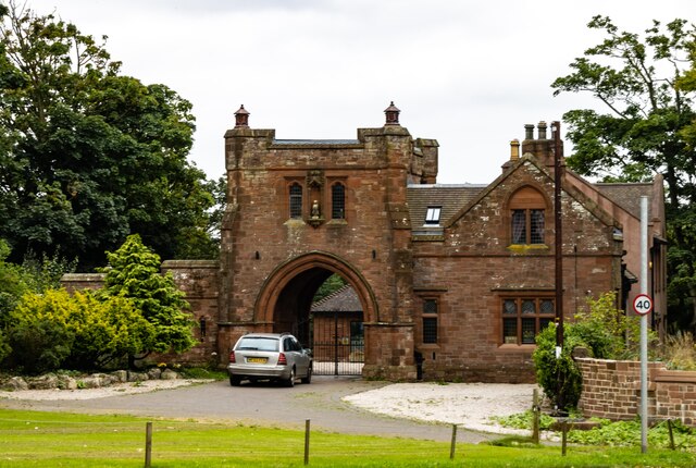
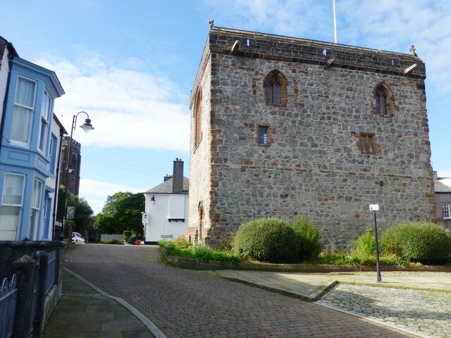
Dalton Castle, Cumbria

Dalton Castle is a grade I listed 14th-century peel tower situated in Dalton-in-Furness, Cumbria, England, and in the ownership of the National Trust....

Dowdales School

Dowdales School which was founded 1928, is a community, comprehensive school in Dalton-in-Furness, Cumbria for anyone, in the age range 11–16. There are...
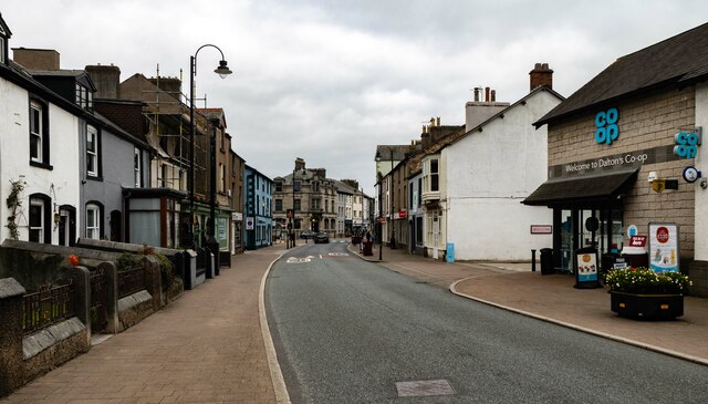
Dalton-in-Furness

Dalton-in-Furness is a town and former civil parish, now in the parish of Dalton Town with Newton, in the Westmorland and Furness district, in the ceremonial...

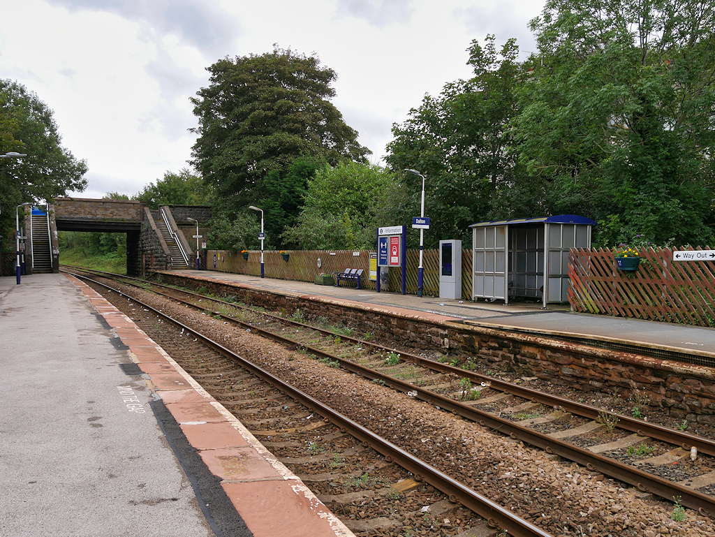
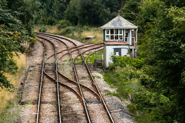
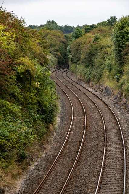
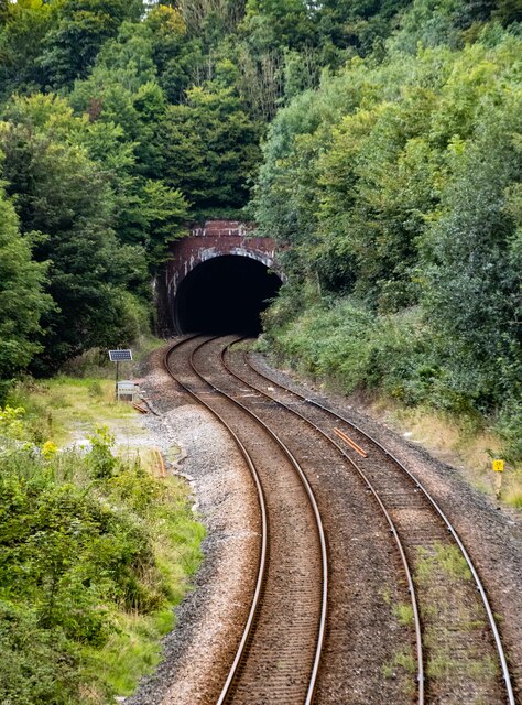
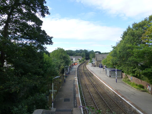
Dalton railway station

Dalton is a railway station on the Furness Line, which runs between Barrow-in-Furness and Lancaster. The station, situated 5 miles (8 km) north-east of...

Dalton South

Dalton South is a ward of the British town Dalton-in-Furness, within the Borough of Barrow-in-Furness. With 6,200 people residing in Dalton South in 2001...

Dalton Town with Newton

Dalton Town with Newton is a civil parish in the Barrow-in-Furness district, in the county of Cumbria, England. The parish includes the town of Dalton...

Abbot's Wood, Cumbria

Abbot's Wood (also Abbotswood) was a large country house and estate located to the north-northeast of Barrow-in-Furness, Cumbria, England. It was sited...

Nearby Amenities

Located within 500m of 54.155674,-3.1935301
Railway: level_crossing
Lat/Long: 54.1566131/-3.2009972
Railway: level_crossing
Lat/Long: 54.1566138/-3.2009457
Restaurant
Brown Cow
Lat/Long: 54.1541894/-3.1870342
Clarence
Tourism: hotel
Lat/Long: 54.1569666/-3.1885225
Post Box
Collection Times: Mo-Fr 16:30; Sa 10:45
Drive Through: no
Post Box Type: lamp
Ref: LA15 43
Lat/Long: 54.1556891/-3.186596
Generator Method: photovoltaic
Generator Output Electricity: yes
Generator Source: solar
Generator Type: solar_photovoltaic_panel
Location: roof
Power: generator
Lat/Long: 54.1539347/-3.1876868
Generator Method: photovoltaic
Generator Output Electricity: yes
Generator Source: solar
Generator Type: solar_photovoltaic_panel
Location: roof
Power: generator
Lat/Long: 54.1548568/-3.1880919
Generator Method: photovoltaic
Generator Output Electricity: yes
Generator Source: solar
Generator Type: solar_photovoltaic_panel
Location: roof
Power: generator
Lat/Long: 54.1572401/-3.1873958
Generator Method: photovoltaic
Generator Output Electricity: yes
Generator Source: solar
Generator Type: solar_photovoltaic_panel
Location: roof
Power: generator
Lat/Long: 54.1585494/-3.1876278
Generator Method: photovoltaic
Generator Output Electricity: yes
Generator Source: solar
Generator Type: solar_photovoltaic_panel
Location: roof
Power: generator
Lat/Long: 54.1583861/-3.1880489
Generator Method: photovoltaic
Generator Output Electricity: yes
Generator Source: solar
Generator Type: solar_photovoltaic_panel
Location: roof
Power: generator
Lat/Long: 54.1584072/-3.1879323
The data included in this document is from www.openstreetmap.org. The data is made available under ODbL.

Have you been to Hagg Hills?

Leave your review of Hagg Hills below (or comments, questions and feedback).