Lomond Hills
Range Of Mountains, Range Of Hills in Fife
Scotland
Lomond Hills
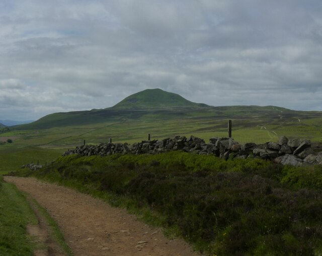
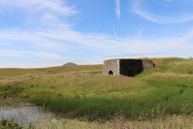
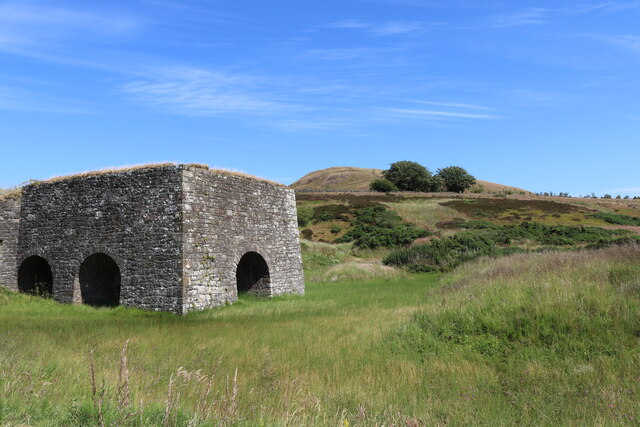
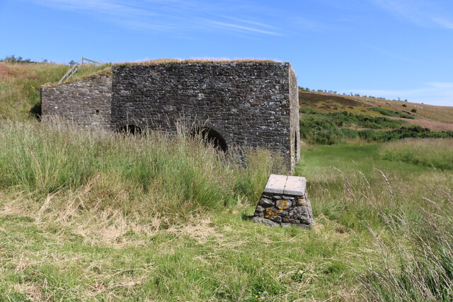
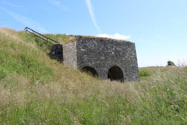
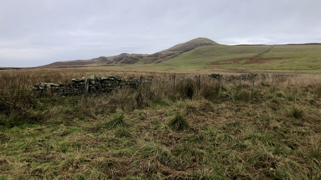
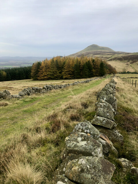
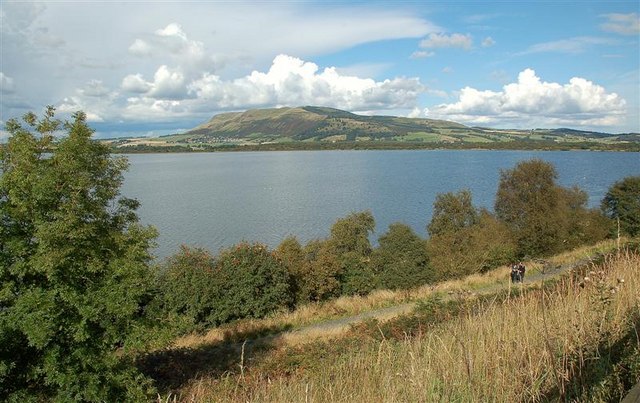
Lomond Hills is a range of hills located in Fife, Scotland. The hills are part of the larger Lomond Hills Regional Park, which covers an area of approximately 25 square miles. The highest peak in the range is East Lomond, standing at an elevation of 1,391 feet (424 meters) above sea level. The range also includes West Lomond, which reaches a height of 1,712 feet (522 meters).
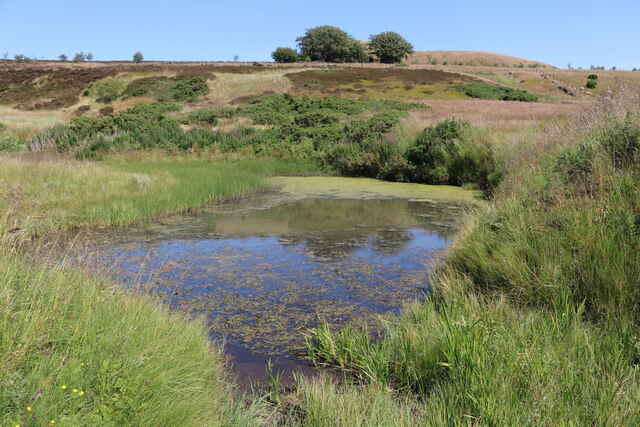
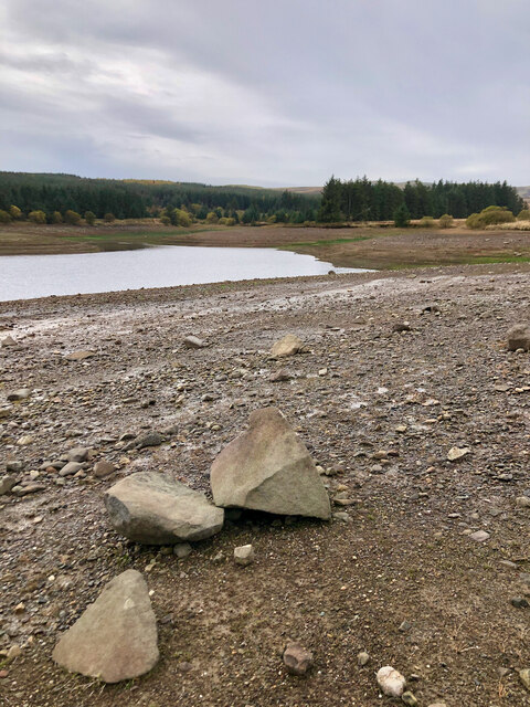
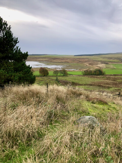
Lomond Hills offers breathtaking views of the surrounding countryside, with its rolling green hills and picturesque valleys. The landscape is enriched with diverse flora and fauna, making it a haven for nature lovers and wildlife enthusiasts. The hills are covered in a mix of heather moorland, grassland, and woodlands, providing habitats for a variety of species, including red grouse, skylarks, and roe deer.
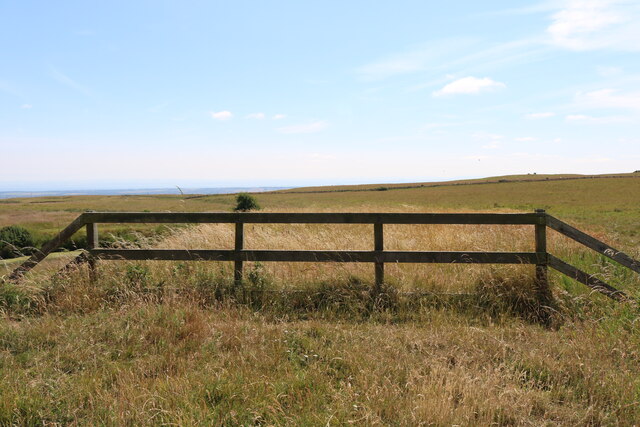
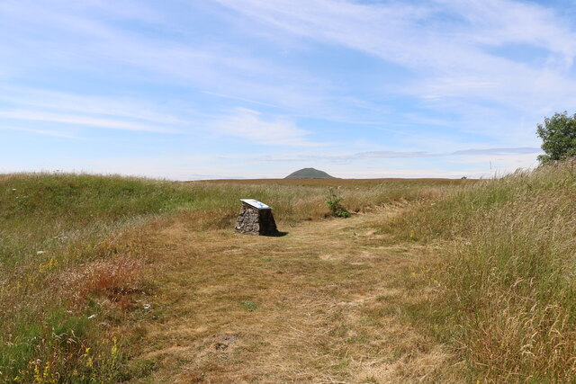
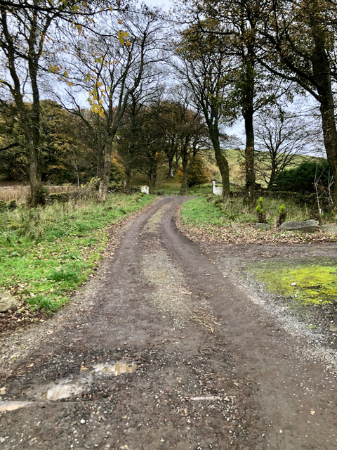
The area is popular among outdoor enthusiasts and provides numerous opportunities for recreational activities. Hiking and walking trails crisscross the hills, offering visitors the chance to explore the stunning scenery and enjoy the fresh air. The Lomond Hills are also a favorite spot for paragliding and hang gliding, thanks to the favorable wind conditions and stunning panoramic views from the hilltops.
Additionally, the Lomond Hills Regional Park hosts several events and activities throughout the year, including guided walks, wildlife spotting, and seasonal festivals. The park has visitor facilities such as picnic areas, car parks, and information centers, ensuring a pleasant and convenient experience for visitors.
Overall, Lomond Hills in Fife is a captivating range of hills that combines natural beauty, recreational opportunities, and a rich biodiversity, making it a must-visit destination for nature enthusiasts and those seeking outdoor adventures.
If you have any feedback on the listing, please let us know in the comments section below.
Lomond Hills Images
Images are sourced within 2km of 56.228814/-3.2573084 or Grid Reference NO2204. Thanks to Geograph Open Source API. All images are credited.
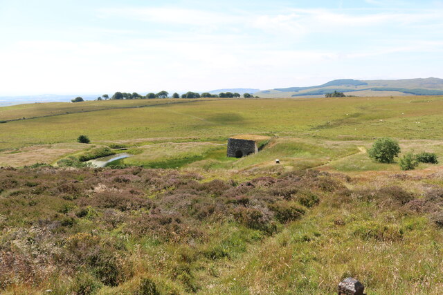
![Possible Cist Two stones set vertically in the earth at right angles to each other suggest a cist. But on the other hand it may be natural.
‘Balharvie Moss | Canmore’. 2022. Canmore.org.uk &lt;<span class="nowrap"><a title="https://canmore.org.uk/site/29874/balharvie-moss" rel="nofollow ugc noopener" href="https://canmore.org.uk/site/29874/balharvie-moss">Link</a><img style="margin-left:2px;" alt="External link" title="External link - shift click to open in new window" src="https://s1.geograph.org.uk/img/external.png" width="10" height="10"/></span> &gt; [accessed 29 October 2022]](https://s3.geograph.org.uk/geophotos/07/32/88/7328879_70e7ef22.jpg)
Lomond Hills is located at Grid Ref: NO2204 (Lat: 56.228814, Lng: -3.2573084)
Unitary Authority: Fife
Police Authority: Fife
What 3 Words
///cabbages.geek.forkful. Near Falkland, Fife
Nearby Locations
Related Wikis

Lomond Hills
The Lomond Hills (meaning either beacon hills or bare hills), also known outside the locality as the Paps of Fife, are a range of hills in central Scotland...

West Lomond
West Lomond is the highest point in the county of Fife, Scotland and the highest peak in the Lomond Hills. Its cone-shaped summit, which is the remains...
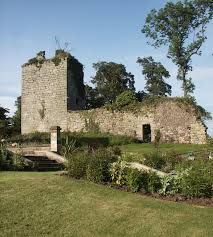
Arnot Tower
Arnot Tower is a ruined 16th-century castle located in the grounds of Arnot Tower House, less than 1 mile (1.6 km) from Scotlandwell, Perth and Kinross...
Portmoak
Portmoak is a parish in Kinross-shire, Scotland. It consists of a group of settlements running north to south: Glenlomond, Wester Balgedie, Easter Balgedie...

Bunnet Stane
The Bunnet Stane (or bonnet stone) is a rock formation near the hamlet of Gateside in Fife, at the foot of West Lomond. It sits upon one of the calciferous...

Brunton House, Falkland
Brunton House is a Category A listed building in the village of Falkland in Fife, Scotland. It was formerly the residence of the hereditary falconers to...

Falkland Town Hall
Falkland Town Hall is a municipal building in the High Street, Falkland, Fife, Scotland. The structure, which has been converted for use as offices and...

Leslie, Fife
Leslie (Scottish Gaelic: Fiodh Chill) is a large village and parish on the northern tip of the River Leven Valley, to the west of Glenrothes in Fife. According...
Have you been to Lomond Hills?
Leave your review of Lomond Hills below (or comments, questions and feedback).