Dungeon Hills
Range Of Mountains, Range Of Hills in Kirkcudbrightshire
Scotland
Dungeon Hills
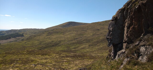
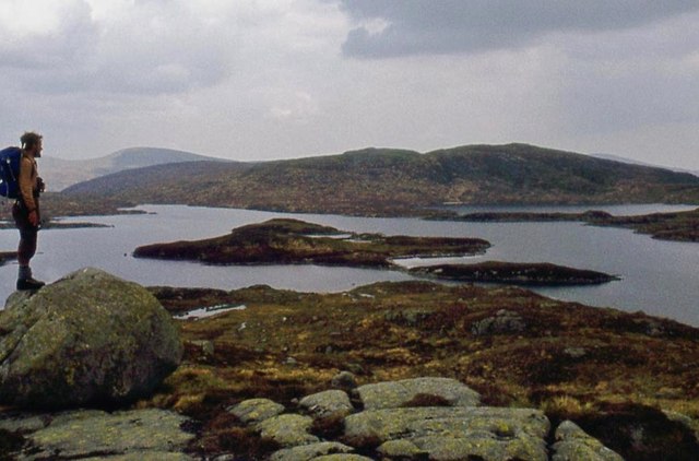
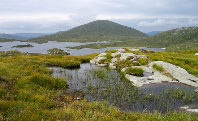
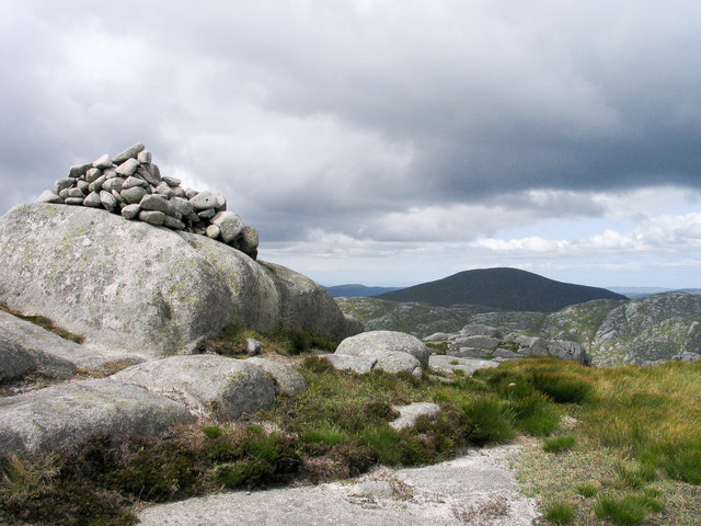
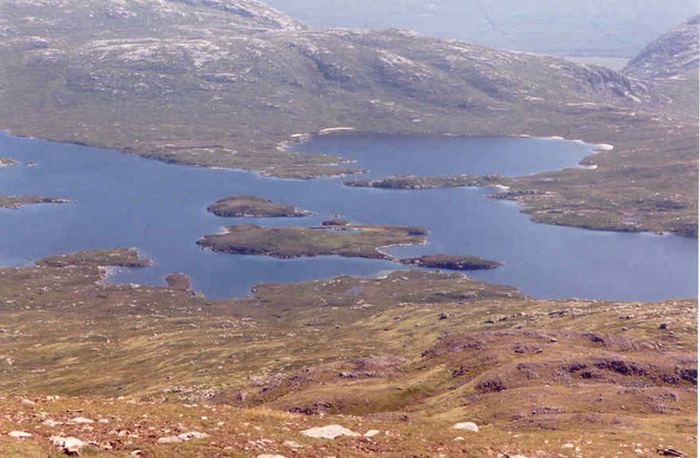
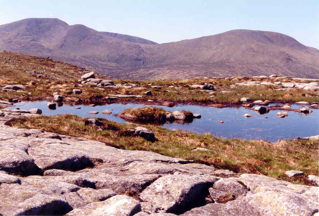
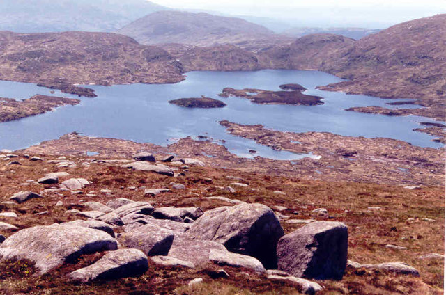
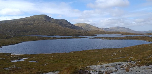
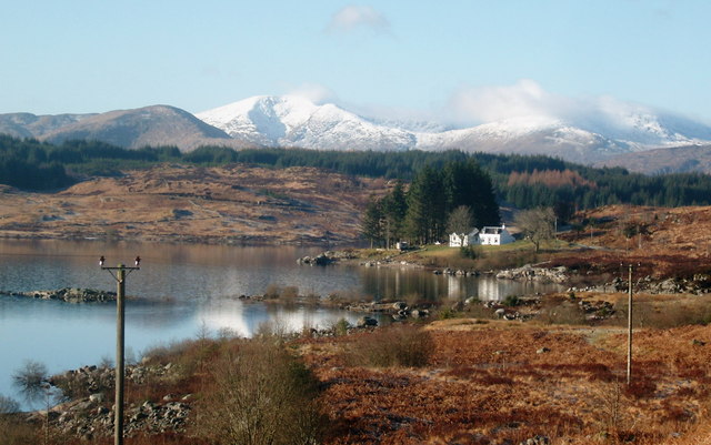
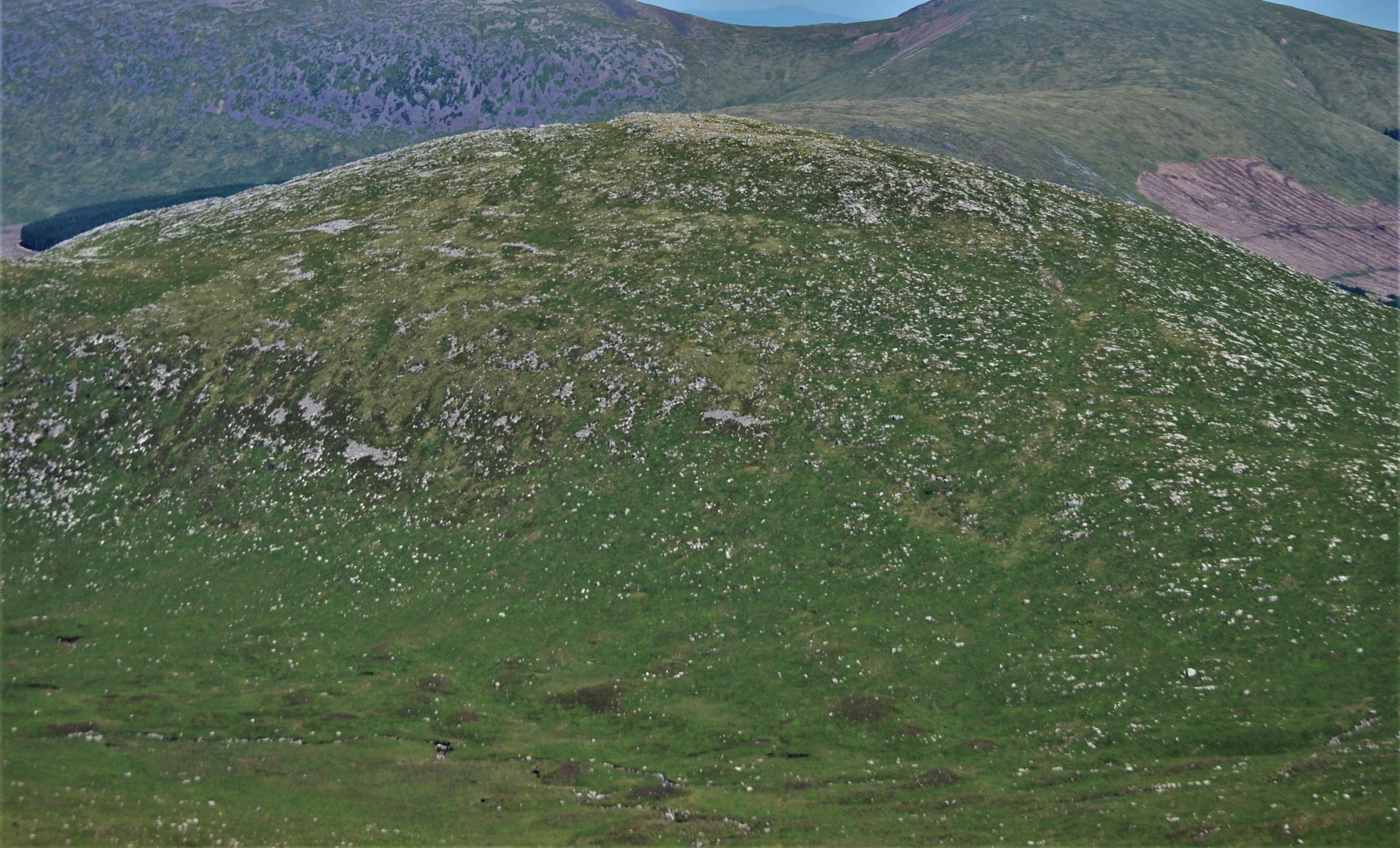
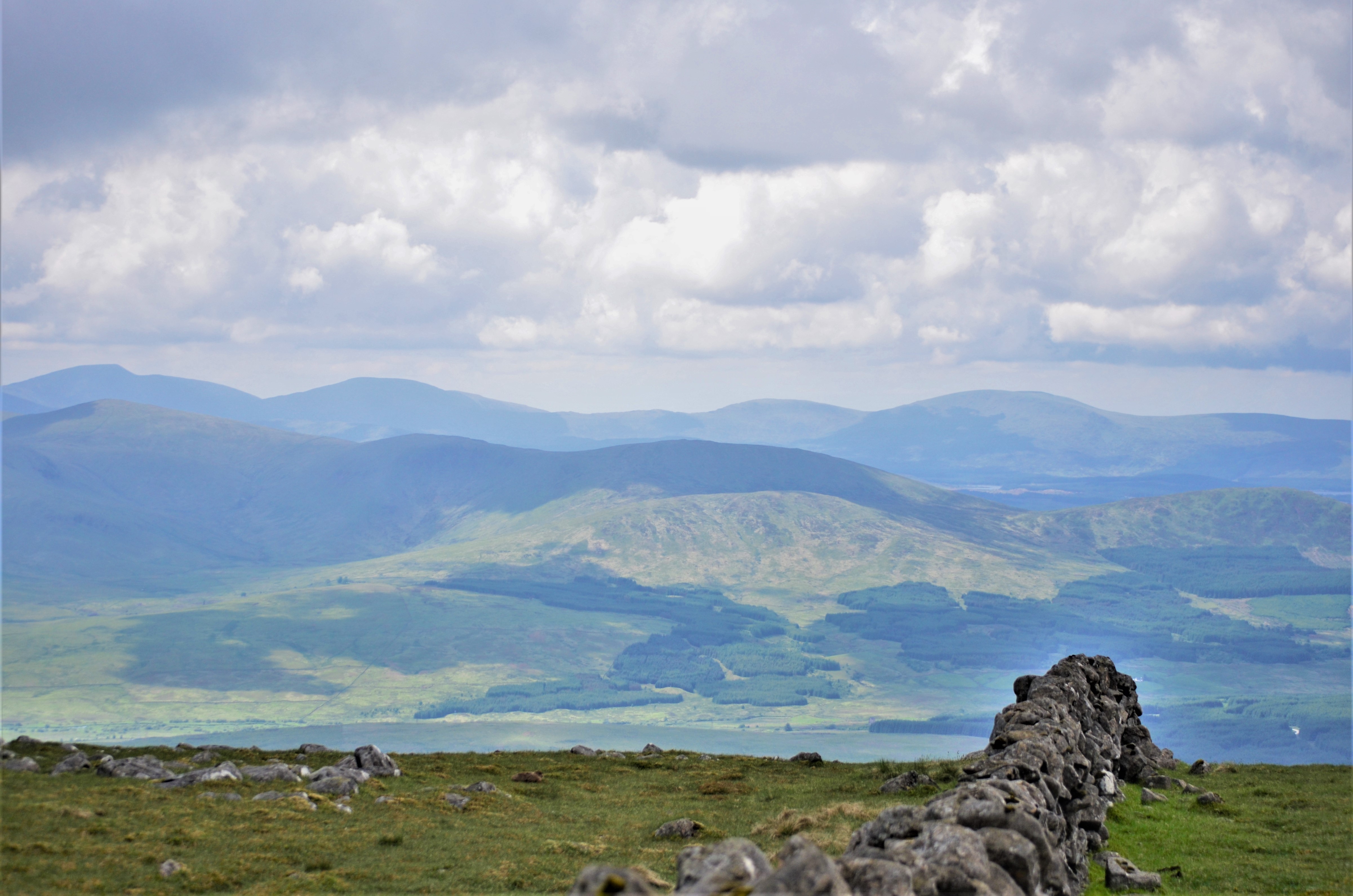
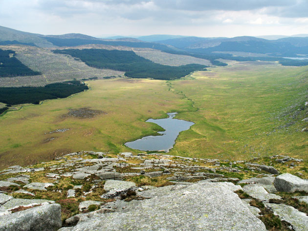
Dungeon Hills is a range of mountains located in Kirkcudbrightshire, a historic county in the southwest of Scotland. The hills are part of the wider Southern Uplands range, known for its rugged and scenic landscapes. Dungeon Hills are situated near the small village of Gatehouse of Fleet, offering stunning views of the surrounding countryside.
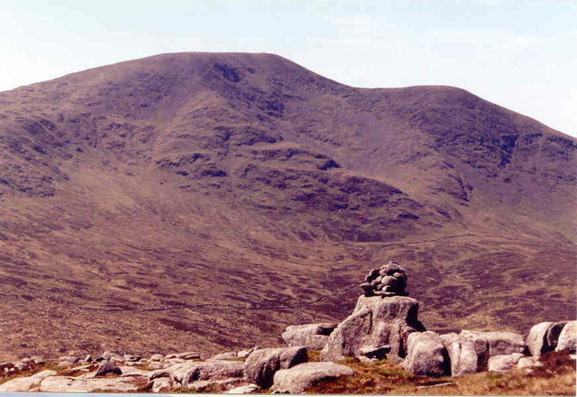
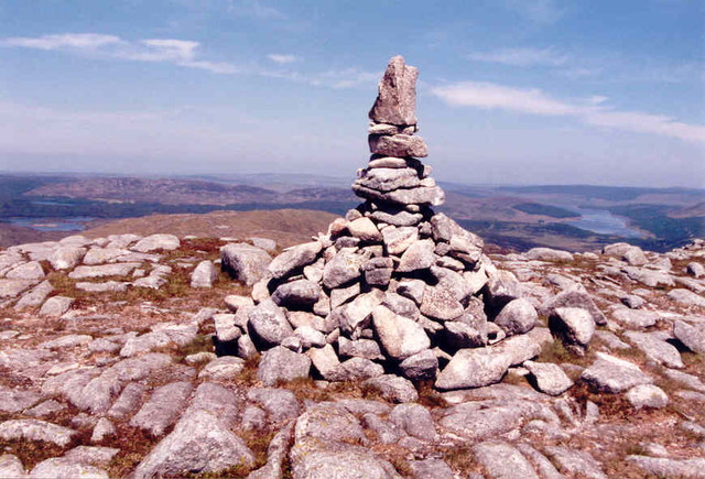
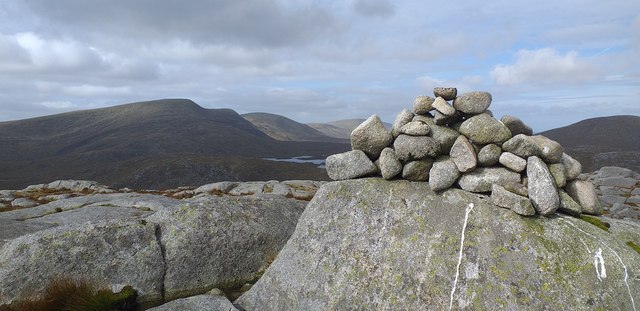
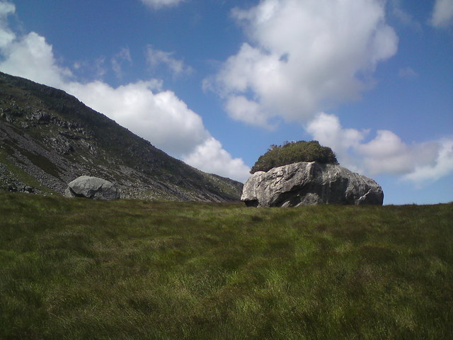
This range of hills consists of several peaks, including Dungeon Hill, Meikle Ross, and Little Ross. The highest point in the range is Dungeon Hill, which reaches an elevation of approximately 300 meters (984 feet). The hills are characterized by their steep slopes and rocky outcrops, providing a challenging terrain for outdoor enthusiasts and hikers.
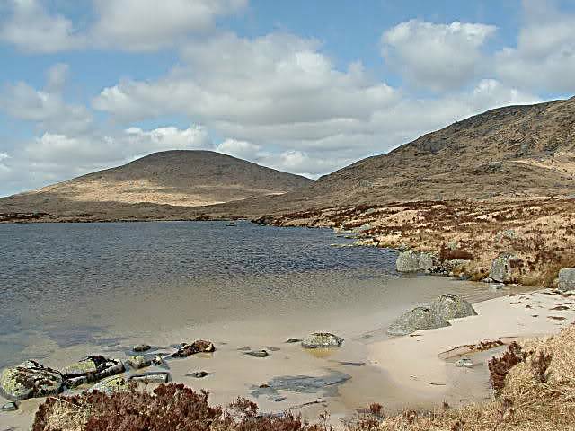
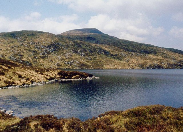
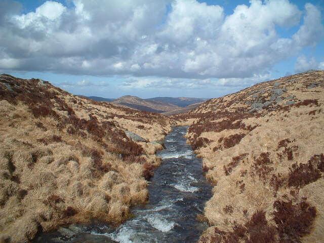
The natural beauty of Dungeon Hills attracts visitors from near and far. The area is renowned for its diverse flora and fauna, with heather, gorse, and bracken covering the hillsides. Wildlife such as red deer, buzzards, and peregrine falcons can also be spotted in the region.
The Dungeon Hills offer a range of outdoor activities for adventurous individuals. Hiking and hillwalking are popular pursuits, with a variety of trails and paths available to explore. The hills also provide opportunities for rock climbing and bouldering, catering to both novice and experienced climbers.
The picturesque village of Gatehouse of Fleet serves as a gateway to the Dungeon Hills. Visitors can enjoy the tranquil atmosphere and explore the charming streets lined with traditional Scottish architecture. The village offers amenities such as accommodation, cafes, and shops, providing a convenient base for those wishing to explore the natural beauty of Dungeon Hills.
If you have any feedback on the listing, please let us know in the comments section below.
Dungeon Hills Images
Images are sourced within 2km of 55.134859/-4.4238003 or Grid Reference NX4584. Thanks to Geograph Open Source API. All images are credited.
Dungeon Hills is located at Grid Ref: NX4584 (Lat: 55.134859, Lng: -4.4238003)
Unitary Authority: Dumfries and Galloway
Police Authority: Dumfries and Galloway
What 3 Words
///stormed.pylons.nightlife. Near Bellsbank, East Ayrshire
Nearby Locations
Related Wikis
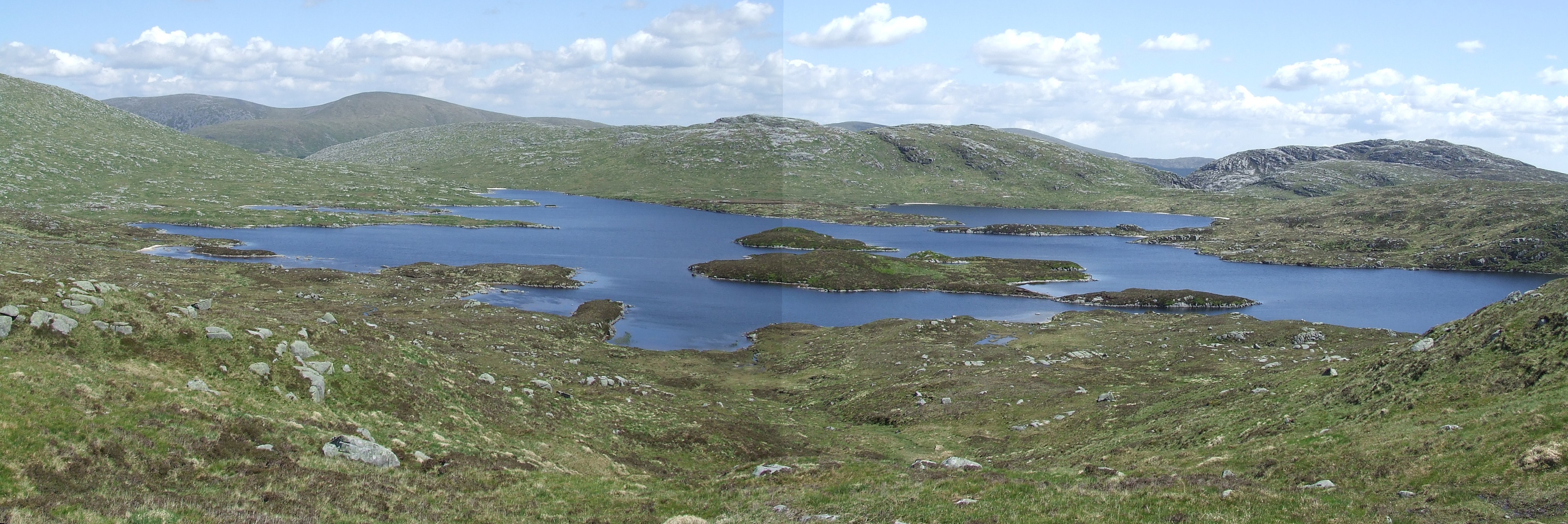
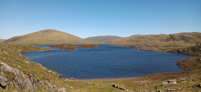
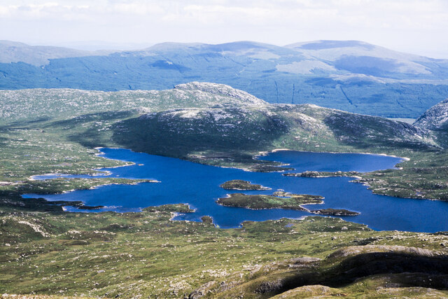
Loch Enoch
Loch Enoch is a multi-basin freshwater loch in Galloway, to the east of Merrick and south of Mullwharchar. The loch is situated in a granite basin and...

Galloway Forest Park
Galloway Forest Park is a forest park operated by Forestry and Land Scotland, principally covering woodland in Dumfries and Galloway. It is claimed to...

Dungeon Hill (hill)
Dungeon Hill is a hill in the Dungeon Hills, a sub-range of the Galloway Hills range, part of the Southern Uplands of Scotland. Although it is the lowest...
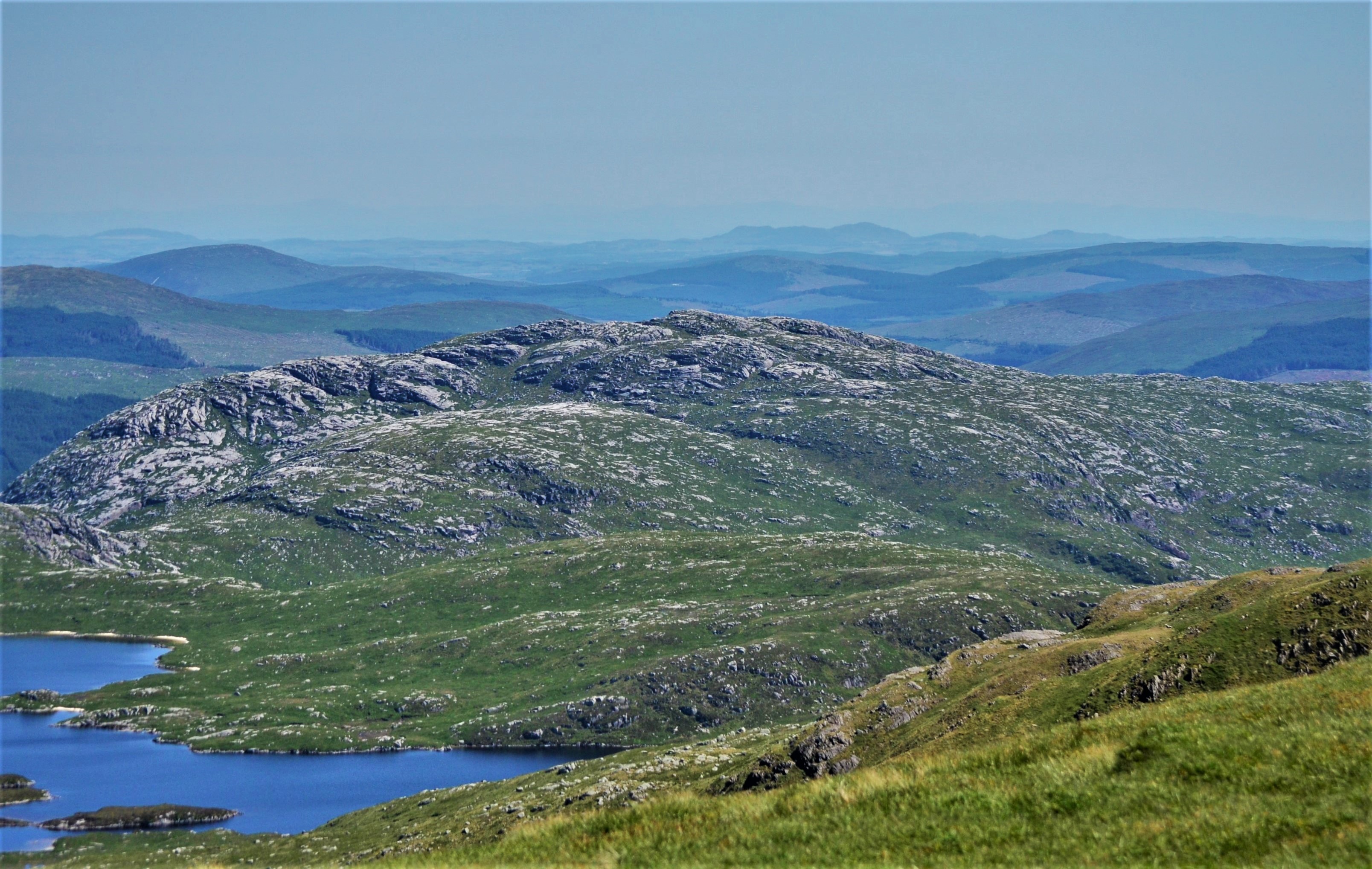
Craignaw
Craignaw is a hill in the Dungeon Hills, a sub-range of the Galloway Hills range, part of the Southern Uplands of Scotland. Unlike many hills in the Southern...
Mullwharchar
Mullwharchar is a hill in the Dungeon Hills, a sub-range of the Galloway Hills range, part of the Southern Uplands of Scotland. Mullwarchar is situated...
Galloway Hills
The Galloway Hills are part of the Southern Uplands of Scotland, and form the northern boundary of western Galloway. They lie within the bounds of the...

Loch Neldricken
Loch Neldricken is a loch in Galloway to the south-east of Merrick, south of Craig Neldricken and west of Craignaw. The loch is almost bisected by a long...
Silver Flowe
Silver Flowe is an area of patterned blanket mire in the Galloway Hills, in Dumfries and Galloway, Scotland. Located around 16 km north northeast of Newton...
Nearby Amenities
Located within 500m of 55.134859,-4.4238003Have you been to Dungeon Hills?
Leave your review of Dungeon Hills below (or comments, questions and feedback).