Poverty Bottom
Valley in Sussex Lewes
England
Poverty Bottom
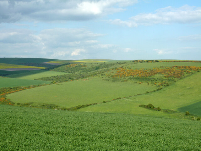
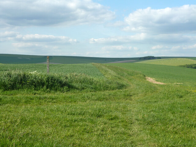
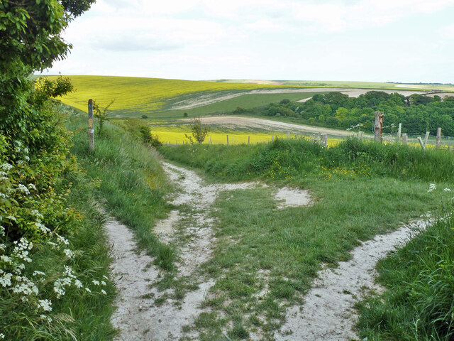
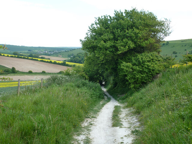
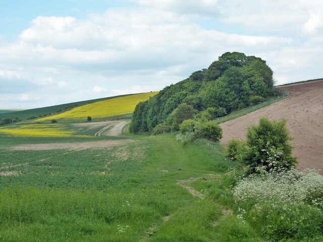
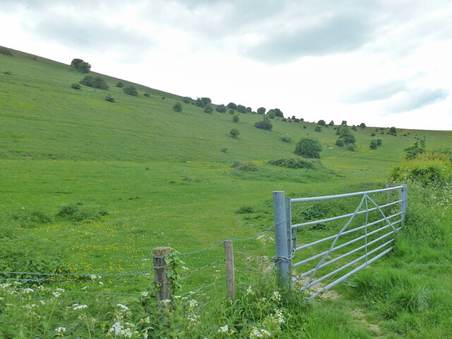
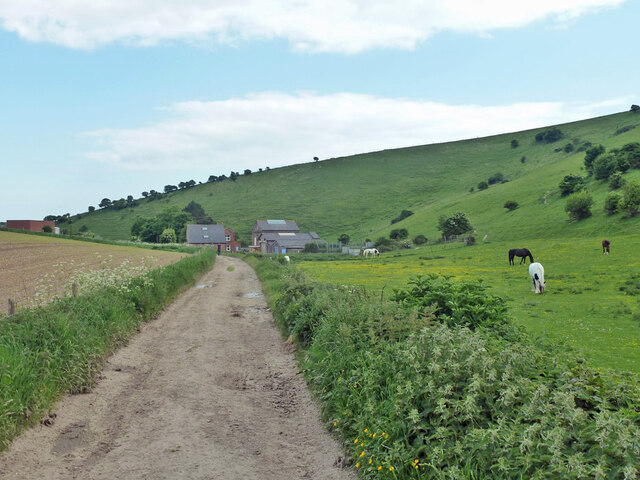
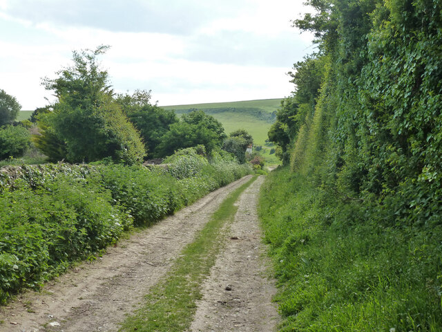
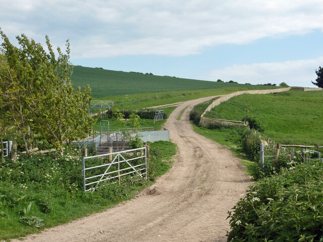
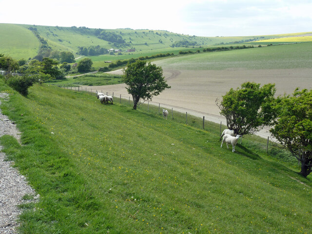
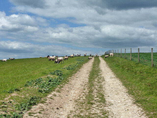
Poverty Bottom is a small rural settlement located in the countryside of Sussex, England. Nestled in a picturesque valley, it is surrounded by rolling hills and green pastures, creating a tranquil and idyllic atmosphere.
The settlement derives its name from the historic socio-economic conditions prevalent in the area during the 17th and 18th centuries. Poverty Bottom was once characterized by its impoverished inhabitants who predominantly relied on agriculture and manual labor for their livelihoods. Over time, however, the area has witnessed significant improvements in living standards, and today, poverty is no longer a defining aspect of the community.
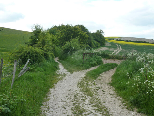
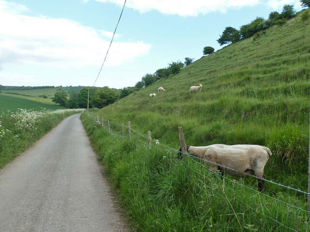
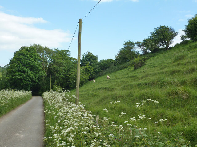
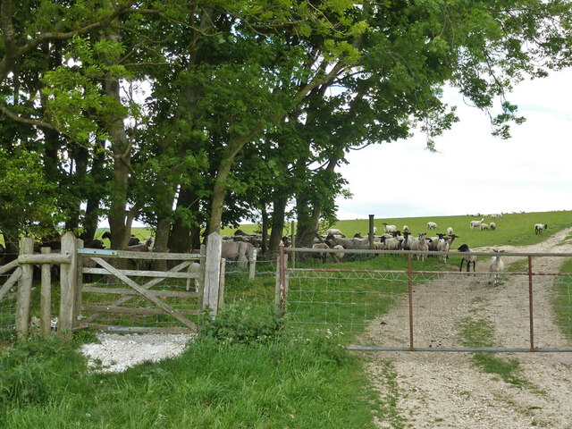
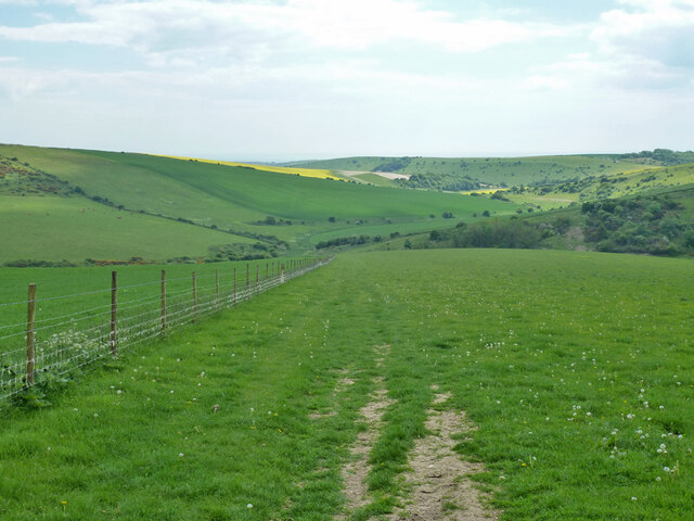
The main feature of Poverty Bottom is its stunning natural beauty. The valley is adorned with lush flora and fauna, making it a haven for nature enthusiasts and hikers. The nearby River Sussex meanders through the valley, adding to its charm and providing opportunities for fishing and boating.
The settlement itself is small, consisting of a handful of traditional cottages and farmhouses. The community is tight-knit, with residents often engaging in social activities and events organized by local groups. A small village hall serves as a focal point for gatherings and community meetings.
Despite its tranquil setting, Poverty Bottom is not isolated from modern amenities. The nearest town, located approximately five miles away, provides access to essential services such as schools, healthcare facilities, and shops. Additionally, the settlement benefits from reliable internet connectivity, enabling residents to stay connected and access online resources.
Overall, Poverty Bottom offers a serene and picturesque countryside living experience while still providing necessary amenities and a sense of community for its residents.
If you have any feedback on the listing, please let us know in the comments section below.
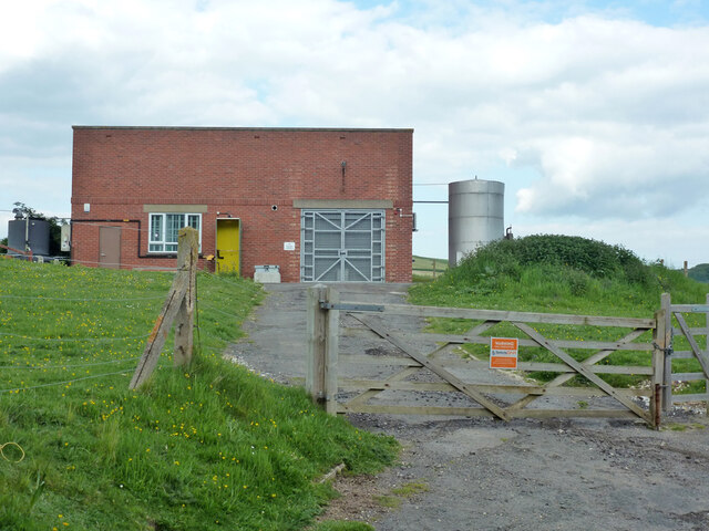
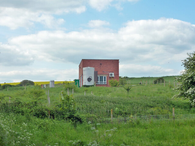
Poverty Bottom Images
Images are sourced within 2km of 50.804832/0.076062701 or Grid Reference TQ4602. Thanks to Geograph Open Source API. All images are credited.
Poverty Bottom is located at Grid Ref: TQ4602 (Lat: 50.804832, Lng: 0.076062701)
Administrative County: East Sussex
District: Lewes
Police Authority: Sussex
What 3 Words
///increased.chapels.adopting. Near Newhaven, East Sussex
Nearby Locations
Related Wikis

Denton, East Sussex
Denton is a small village in the civil parish of Newhaven, in the Lewes district, in the county of East Sussex, England. It adjoins the villages of South...
Newhaven, East Sussex
Newhaven is a port town in East Sussex in England, lying at the mouth of the River Ouse. The town developed during the Middle Ages as the nearby port of...

Newhaven Town railway station
Newhaven Town railway station is the main station serving Newhaven, East Sussex, England, the other being Newhaven Harbour. A third station, Newhaven Marine...

Newhaven ERF
The Newhaven ERF (Energy Recovery Facility) is an incinerator, in the town of Newhaven in the English county of East Sussex, for the treatment of up to...

South Heighton
South Heighton is a village and civil parish in the Lewes District of East Sussex, England. The village is seven miles (12 km) south of Lewes. In the...

UTC@harbourside
UTC@harbourside was a University Technical College for students aged 14–18 (Key Stage 4 and 5) located in Newhaven, East Sussex, England which opened in...

Bishopstone, East Sussex
Bishopstone (also known as BIP) is a village and former civil parish, now in the parish of Seaford, in the Lewes district, in the county of East Sussex...

Newhaven Harbour railway station
Newhaven Harbour railway station is a railway station in Newhaven, East Sussex, England. It originally served boat train services to Dieppe, but that was...
Nearby Amenities
Located within 500m of 50.804832,0.076062701Have you been to Poverty Bottom?
Leave your review of Poverty Bottom below (or comments, questions and feedback).