Rag Bottom
Valley in Sussex Mid Sussex
England
Rag Bottom
Rag Bottom, Sussex (Valley) is a small rural community located in the picturesque Sussex Valley of New Brunswick, Canada. Nestled between rolling hills and surrounded by lush greenery, this charming hamlet offers a tranquil escape from the hustle and bustle of city life.
The area takes its name from the Rag Bottom Creek that flows through it, adding to its natural beauty. Rag Bottom is characterized by its idyllic countryside landscapes, dotted with traditional farmhouses and barns. The community primarily relies on agriculture as its main economic activity, with farming and livestock rearing being the primary occupations of the locals.
Despite its small size, Rag Bottom offers a close-knit and welcoming community. Neighbors know each other by name, fostering a strong sense of unity and camaraderie. The community often comes together for various events and activities, such as annual agricultural fairs, community picnics, and holiday celebrations.
Outdoor enthusiasts are drawn to Rag Bottom due to its proximity to numerous recreational opportunities. The surrounding hills and valleys provide ample opportunities for hiking, biking, and horseback riding. Additionally, the nearby Rag Bottom National Park offers visitors a chance to explore the area's diverse wildlife and enjoy camping, fishing, and boating on the park's serene lakes.
Overall, Rag Bottom, Sussex (Valley) is a hidden gem in the heart of New Brunswick's countryside. Its scenic beauty, strong community spirit, and abundant recreational activities make it an ideal destination for those seeking a peaceful and rejuvenating rural retreat.
If you have any feedback on the listing, please let us know in the comments section below.
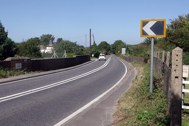
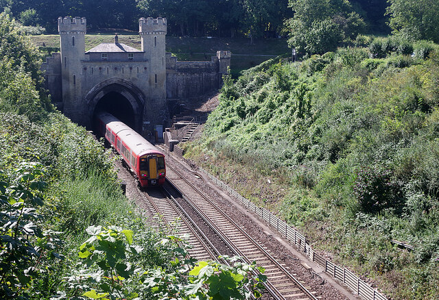
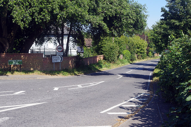
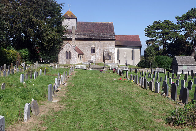
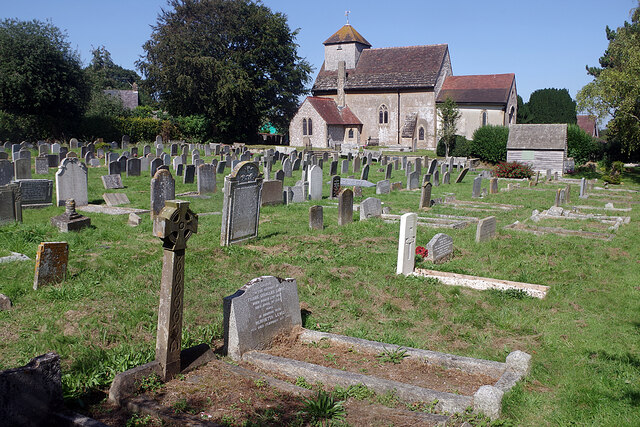
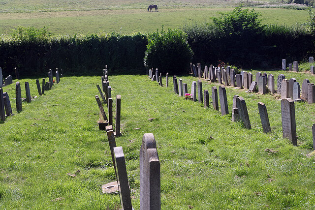
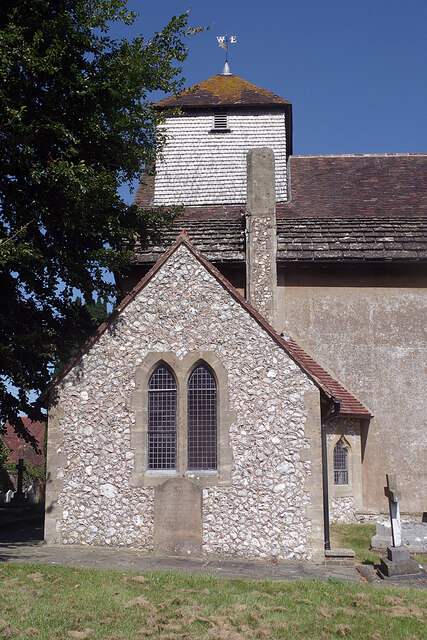
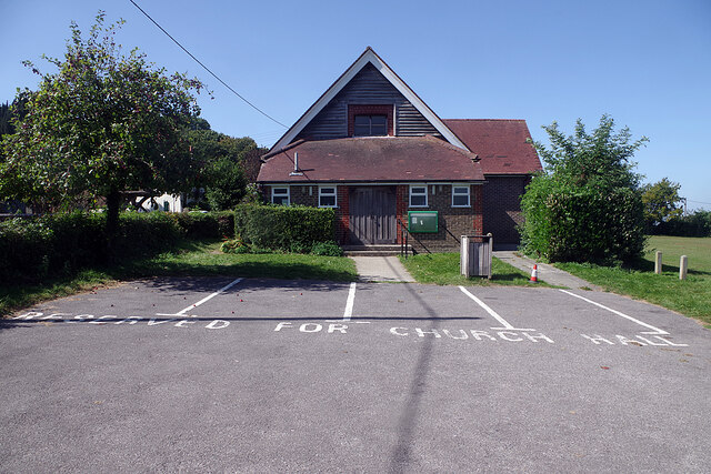
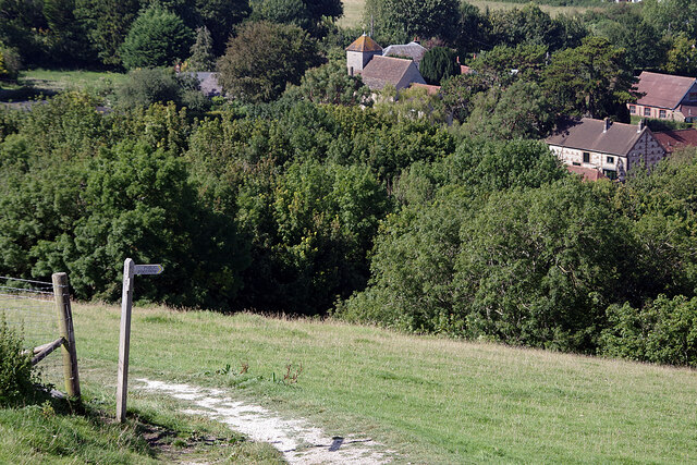
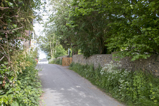
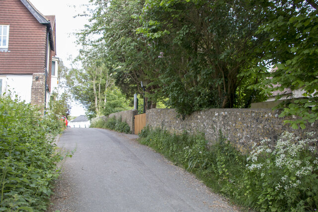
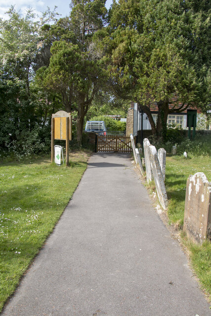
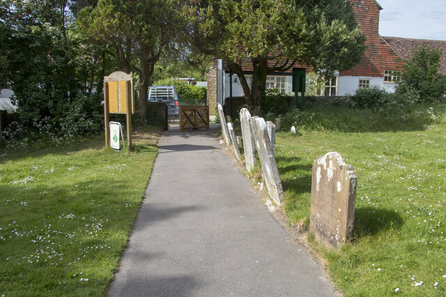
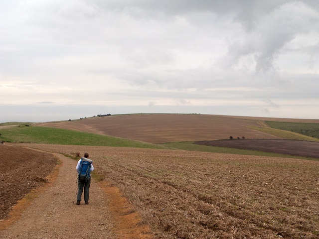
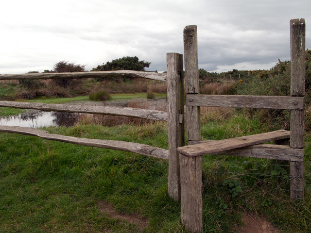
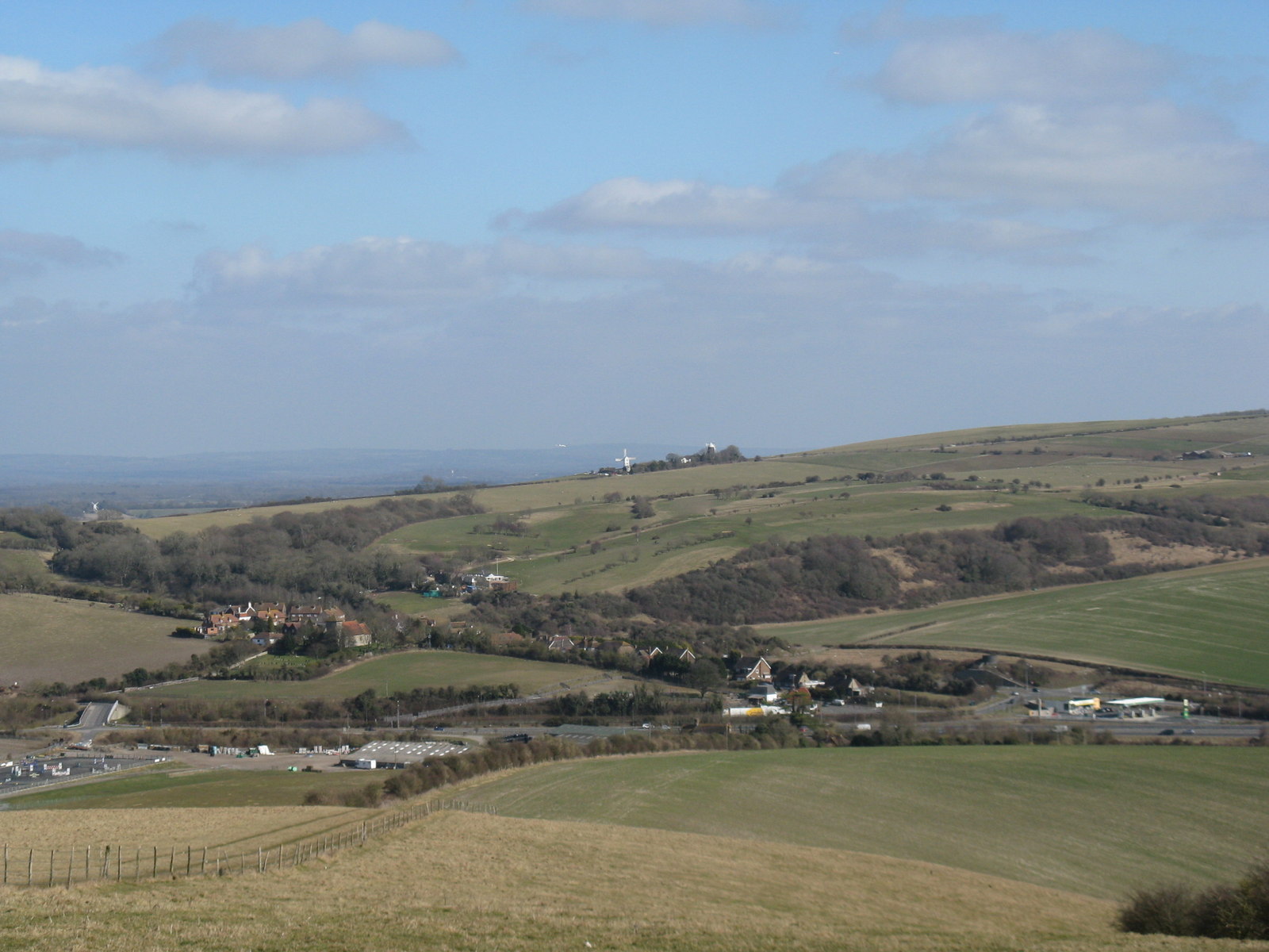
Rag Bottom Images
Images are sourced within 2km of 50.897168/-0.14492439 or Grid Reference TQ3012. Thanks to Geograph Open Source API. All images are credited.
Rag Bottom is located at Grid Ref: TQ3012 (Lat: 50.897168, Lng: -0.14492439)
Administrative County: West Sussex
District: Mid Sussex
Police Authority: Sussex
What 3 Words
///ballpoint.priced.tiles. Near Ditchling, East Sussex
Nearby Locations
Related Wikis

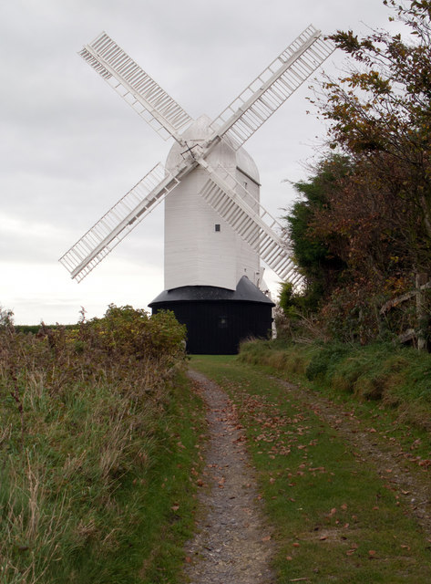
Clayton Windmills
The Clayton Windmills, known locally as Jack and Jill, stand on the South Downs above the village of Clayton, West Sussex, England. They comprise a post...
Pyecombe
Pyecombe is a village and civil parish in the Mid Sussex District of West Sussex, England. Pyecombe is located 7 miles (11 km) to the north of Brighton...

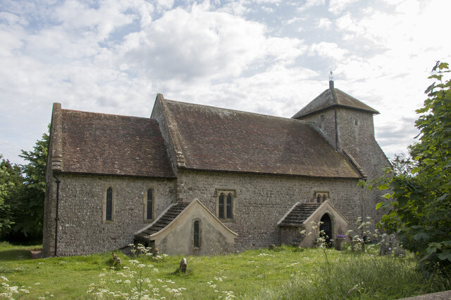
Church of the Transfiguration, Pyecombe
The Church of the Transfiguration is the Church of England parish church of the village of Pyecombe, in the Mid Sussex District of West Sussex, England...

Chattri, Brighton
The Chattri is a war memorial in the English city of Brighton and Hove. It is sited 500 feet (150 m) above the city on the South Downs above the suburb...

Clayton, West Sussex
Clayton is a small village and former civil parish, now in the parish of Hassocks, in the Mid Sussex district, in the county of West Sussex, England. It...

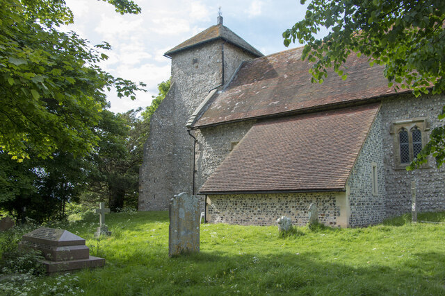
St John the Baptist's Church, Clayton
St John the Baptist's Church is the Church of England parish church of the village of Clayton in Mid Sussex District, one of seven local government districts...
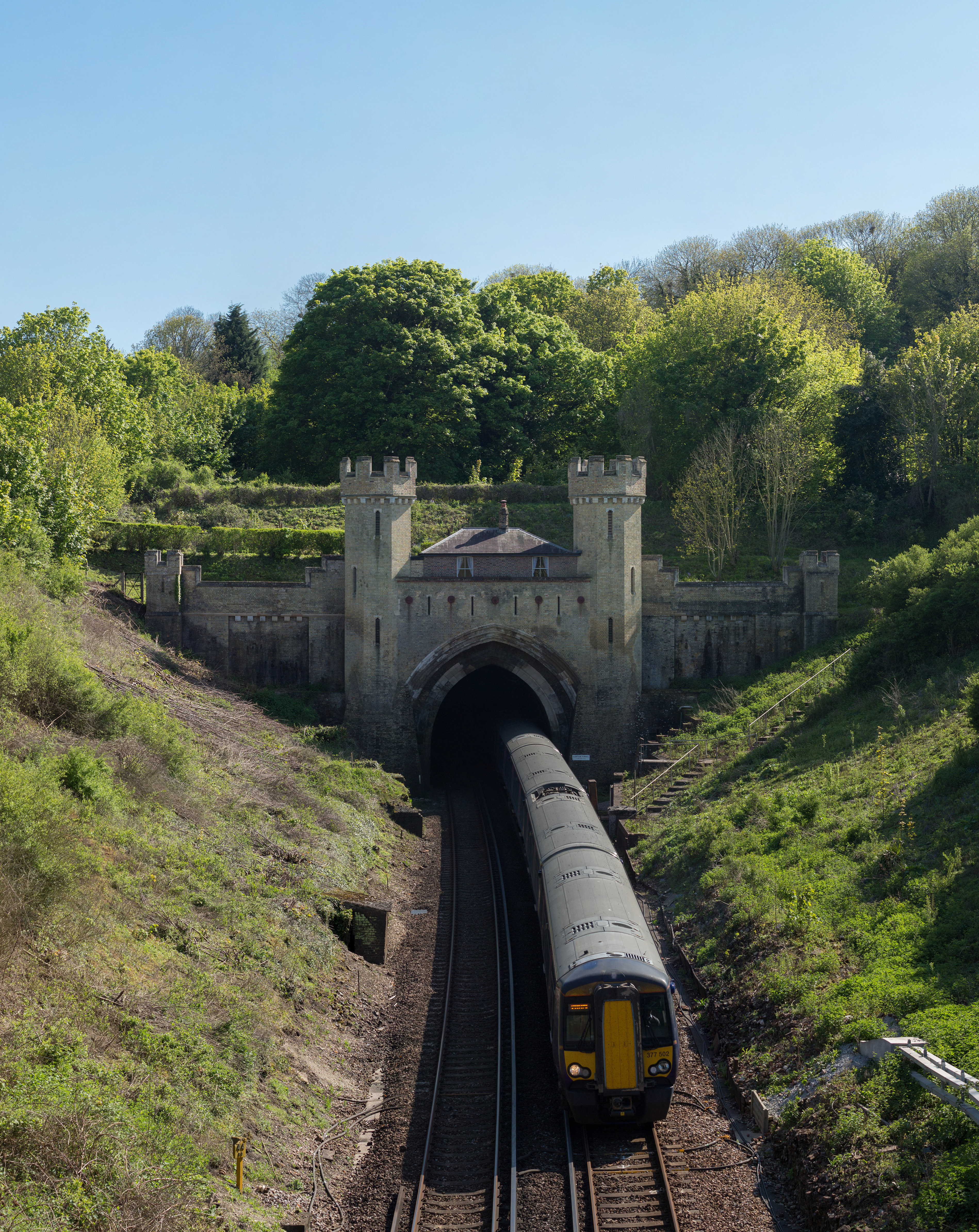
Clayton Tunnel
Clayton Tunnel is a railway tunnel located near the villages of Clayton and Pyecombe in West Sussex, between Hassocks and Preston Park railway stations...

Clayton Tunnel rail crash
The Clayton Tunnel rail crash occurred on Sunday 25 August 1861, five miles (8 km) from Brighton on the south coast of England. At the time it was the...
Nearby Amenities
Located within 500m of 50.897168,-0.14492439Have you been to Rag Bottom?
Leave your review of Rag Bottom below (or comments, questions and feedback).