Carbone Bottom

Valley in Hertfordshire Welwyn Hatfield

England

Carbone Bottom

Northaw Great Wood (Country Park) Path in Northaw Great Wood (Country Park).
Northaw Great Wood (Country Park) Credit: Roger Jones

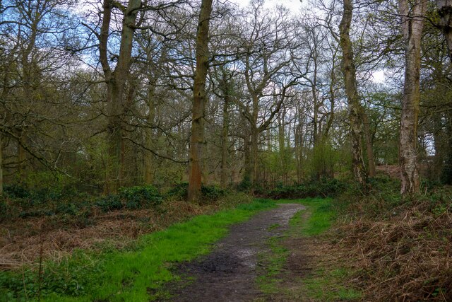
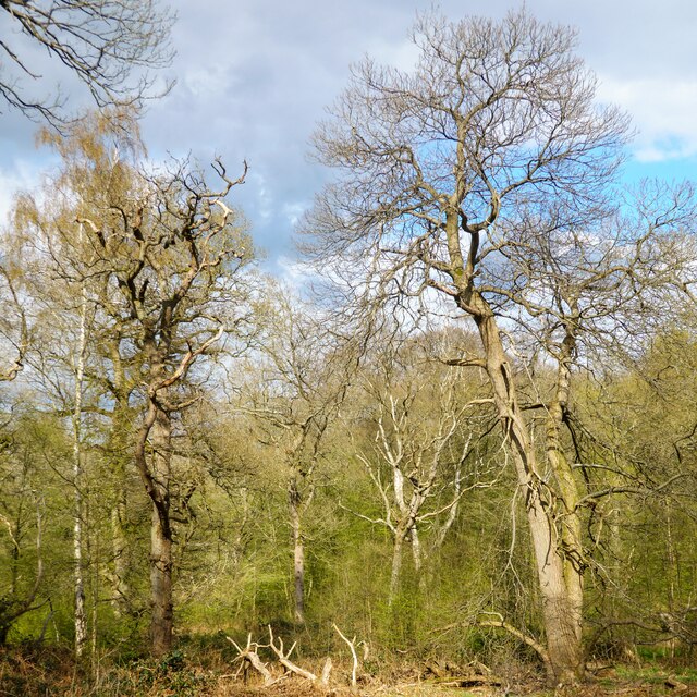
Carbone Bottom is a serene valley located in the county of Hertfordshire, England. Nestled amidst lush greenery and rolling hills, this picturesque location offers a tranquil escape from the hustle and bustle of city life.

The valley is named after the Carbone River, which flows gently through its heart, adding to the beauty and charm of the surrounding landscape. The river is known for its crystal-clear waters, providing an ideal habitat for various species of aquatic life.

Carbone Bottom boasts a diverse range of flora and fauna, making it a haven for nature enthusiasts and wildlife lovers. The valley is home to several rare plant species, including the vibrant Carbone Orchid, which blooms in spring, adorning the meadows with its exquisite colors. Various bird species can be spotted here, including the elusive kingfisher and the melodious nightingale.

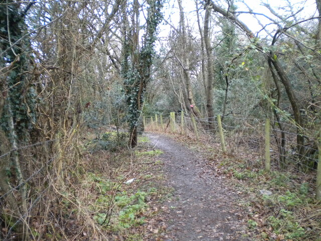
The valley is also a popular destination for outdoor activities such as hiking and cycling. Its tranquil trails wind through ancient woodlands, offering breathtaking views of the surrounding countryside. Adventurers can explore the valley's hidden gems, including secluded waterfalls and enchanting caves.

Carbone Bottom is not only a natural paradise but also has a rich history. The valley was once home to a thriving mining industry, with remnants of old mine shafts still visible today. Visitors can learn about the valley's industrial heritage through guided tours and informative displays.

Overall, Carbone Bottom, Hertfordshire, is a truly magical place that showcases the beauty of nature and offers a peaceful retreat for all who visit.

If you have any feedback on the listing, please let us know in the comments section below.

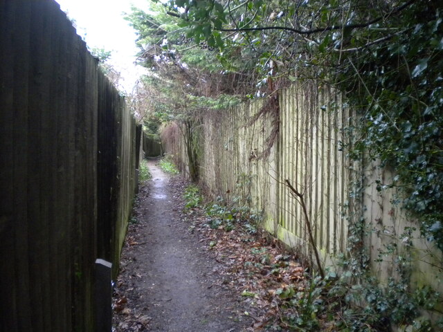
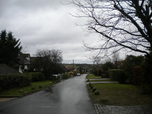
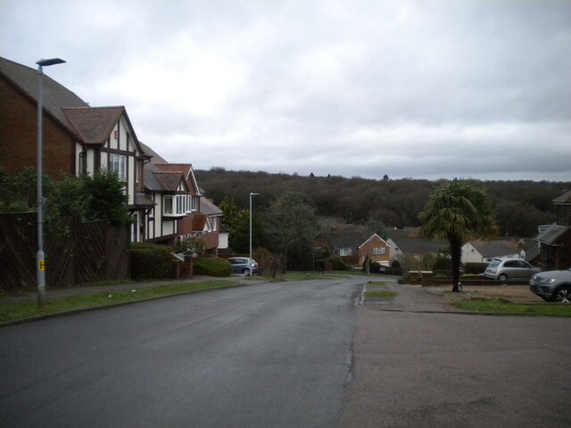
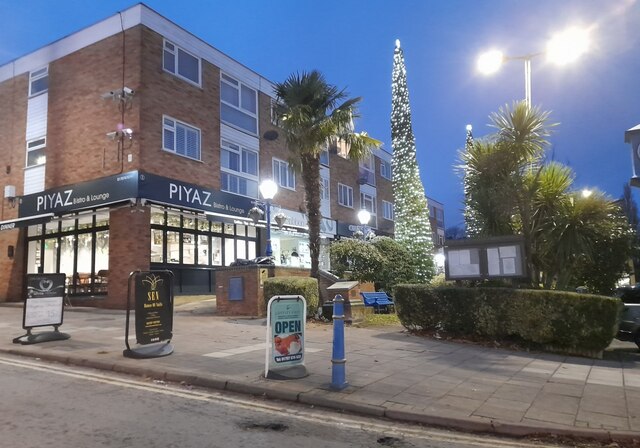
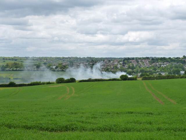
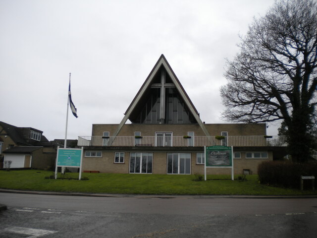
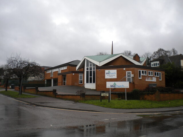
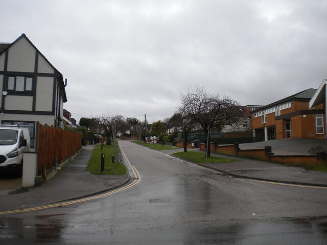
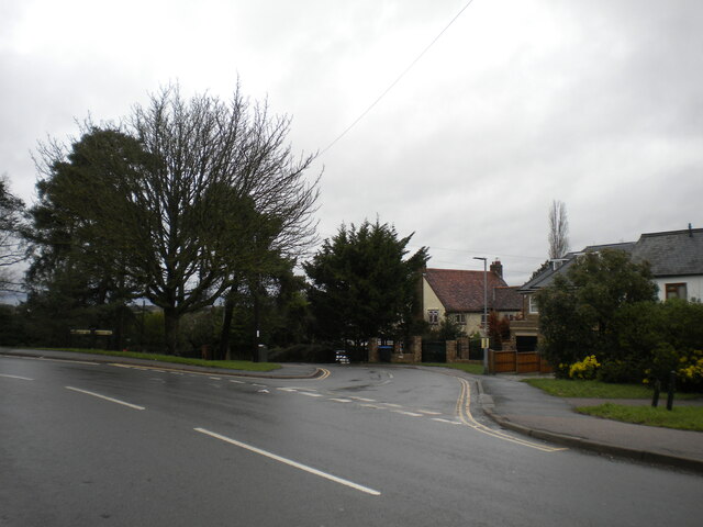
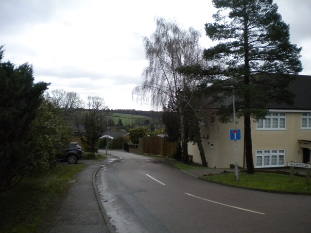
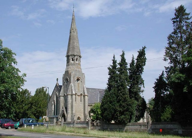
Carbone Bottom Images

Images are sourced within 2km of 51.717132/-0.12351862 or Grid Reference TL2903. Thanks to Geograph Open Source API. All images are credited.

Northaw Great Wood (Country Park) Path in Northaw Great Wood (Country Park).
Northaw Great Wood (Country Park)
Path in Northaw Great Wood (Country Park).
Sunlight catches trees - Northaw Great Wood (Country Park) Prominently situated in two valleys dissecting the London Clay plateau of South Hertfordshire, the Great Wood and the adjacent Well Wood together comprise one of the county’s most extensive areas of ancient Hornbean dominated woodland. 

Northaw Great Wood is a remnant of the extensive forest that covered much of the area before the Norman conquest.In the 16th century, it was recorded as a Woodland Common and as such would have been used for grazing, while pollarding the Hornbeams provided commoners’ fuel.

In 1806 the Common of Northaw was enclosed by Act of Parliament. From then until 1938 it was a private woodland used for timber production. In 1937, Hertfordshire County Council acquired 290 acres of this land and the site is now managed by Welwyn Hatfield Borough Council.

The above from: See <span class="nowrap"><a title="http://www.fongw.org.uk/" rel="nofollow ugc noopener" href="http://www.fongw.org.uk/">Link</a><img style="margin-left:2px;" alt="External link" title="External link - shift click to open in new window" src="https://s1.geograph.org.uk/img/external.png" width="10" height="10"/></span>

Northaw Great Wood is an SSSI: <span class="nowrap"><a title="https://designatedsites.naturalengland.org.uk/SiteDetail.aspx?SiteCode=S1000830" rel="nofollow ugc noopener" href="https://designatedsites.naturalengland.org.uk/SiteDetail.aspx?SiteCode=S1000830">Link</a><img style="margin-left:2px;" alt="External link" title="External link - shift click to open in new window" src="https://s1.geograph.org.uk/img/external.png" width="10" height="10"/></span>
Sunlight catches trees - Northaw Great Wood (Country Park)
Prominently situated in two valleys dissecting the London Clay plateau of South Hertfordshire, the Great Wood and the adjacent Well Wood together comprise one of the county’s most extensive areas of ancient Hornbean dominated woodland. Northaw Great Wood is a remnant of the extensive forest that covered much of the area before the Norman conquest.In the 16th century, it was recorded as a Woodland Common and as such would have been used for grazing, while pollarding the Hornbeams provided commoners’ fuel. In 1806 the Common of Northaw was enclosed by Act of Parliament. From then until 1938 it was a private woodland used for timber production. In 1937, Hertfordshire County Council acquired 290 acres of this land and the site is now managed by Welwyn Hatfield Borough Council. The above from: See LinkExternal link Northaw Great Wood is an SSSI: LinkExternal link
East Ridgeway, Cuffley
The Ridgeway, Cuffley (1)
Public footpath off The Ridgeway, Cuffley Part of the Hertfordshire Way.
Public footpath off The Ridgeway, Cuffley
Part of the Hertfordshire Way.
The Ridgeway, Cuffley (2) At its junction with Hanyards Lane.
The Ridgeway, Cuffley (2)
At its junction with Hanyards Lane.
Haynards Lane, Cuffley (1) Seen from near its junction with The Ridgeway.
Haynards Lane, Cuffley (1)
Seen from near its junction with The Ridgeway.
Bradgate, Cuffley Off Hanyards Lane.
Bradgate, Cuffley
Off Hanyards Lane.
Footpath off Haynards Lane, Cuffley Leading to Sutherland Avenue.
Footpath off Haynards Lane, Cuffley
Leading to Sutherland Avenue.
Haynards Lane, Cuffley (2) Seen from its junction with Bradgate.
Haynards Lane, Cuffley (2)
Seen from its junction with Bradgate.
Hill Rise, Cuffley Seen from its junction with Wood View.
Hill Rise, Cuffley
Seen from its junction with Wood View.
Christmas scene in Cuffley
Fire down below But it appears to be agricultural and monitored, so everything is all right, isn't it?
Fire down below
But it appears to be agricultural and monitored, so everything is all right, isn't it?
St Andrew's Church, Cuffley The Church of England establishment in the village. Seen from the end of Station Road.
St Andrew's Church, Cuffley
The Church of England establishment in the village. Seen from the end of Station Road.
Life Church, Cuffley Apparently an independent evangelical church. Seen from Plough Hill.
Life Church, Cuffley
Apparently an independent evangelical church. Seen from Plough Hill.
King James Avenue, Cuffley Off Plough Hill.
King James Avenue, Cuffley
Off Plough Hill.
South end of Hill Rise, Cuffley Off Plough Hill.
South end of Hill Rise, Cuffley
Off Plough Hill.
Highfields, Cuffley A cul de sac off Hill Rise.
Highfields, Cuffley
A cul de sac off Hill Rise.
Show me another place!

Carbone Bottom is located at Grid Ref: TL2903 (Lat: 51.717132, Lng: -0.12351862)

Administrative County: Hertfordshire

District: Welwyn Hatfield

Police Authority: Hertfordshire

What 3 Words

///vase.seats.nerve. Near Cuffley, Hertfordshire

Related Wikis

Cuffley

Cuffley is a village in the civil parish of Northaw and Cuffley, in the Welwyn Hatfield district of south-east Hertfordshire located between Cheshunt and...

Tolmers Park

Tolmers Park is a manor house in Newgate Street Village near Hatfield in Hertfordshire, England. == Early history == The early history of the manor is...

Northaw and Cuffley

Northaw and Cuffley is a civil parish in the Welwyn Hatfield borough of Hertfordshire, England. Located approximately 13.5 miles (21.7 km) north of central...

Cuffley railway station

Cuffley railway station serves the village of Cuffley in the Welwyn Hatfield district of Hertfordshire. It also serves other nearby settlements, namely...

Newgate Street, Hertfordshire

Newgate Street is a village near Cuffley, in Hatfield civil parish, in the Welwyn Hatfield district of Hertfordshire, England. It is approximately six...

Northaw Great Wood

Northaw Great Wood is a 223.6-hectare (553-acre) biological Site of Special Scientific Interest (SSSI) near Cuffley in Hertfordshire, England. It covers...

Northaw

Northaw is a village in the Welwyn Hatfield district of Hertfordshire, England. It is part of the civil parish of Northaw and Cuffley (where at the 2011...

Goffs Oak

Goffs Oak (Goff's Oak on Ordnance Survey maps) is a large village in the borough of Broxbourne in Hertfordshire in the United Kingdom. It lies between...

Nearby Amenities

Located within 500m of 51.717132,-0.12351862
Ele: 121.744141
Lat/Long: 51.7137486/-0.1272112
Ele: 121.744141
Lat/Long: 51.7136497/-0.1268962
Turning Circle
Lat/Long: 51.7153632/-0.1217756
Turning Circle
Lat/Long: 51.7151036/-0.1247379
Turning Circle
Lat/Long: 51.7160933/-0.1185744
Turning Circle
Lat/Long: 51.7135793/-0.1203974
Post Box
Check Date: 2022-06-04
Collection Times: Mo-Fr 17:30; Sa 11:45
Operator: Royal Mail
Royal Cypher: EIIR
Royal Cypher Wikidata: Q33102113
Lat/Long: 51.715056/-0.11993
Toilets
Access: private
Toilets Disposal: flush
Lat/Long: 51.7188652/-0.1194466
Toilets
Access: private
Indoor: yes
Toilets Disposal: flush
Lat/Long: 51.7191791/-0.1179204
Access: private
Leisure: pitch
Lit: yes
Sport: archery
Lat/Long: 51.7189262/-0.1207281
Access: private
Leisure: pitch
Lit: yes
Sport: shooting
Lat/Long: 51.7190233/-0.1207163
Vertical Wall
Access: private
Leisure: pitch
Sport: climbing
Lat/Long: 51.7197213/-0.1182225
Bus Stop
Hanyards Lane
Bus: yes
Naptan AtcoCode: 210021603690
Naptan NaptanCode: hrtapjaj
Public Transport: platform
Lat/Long: 51.7131917/-0.1255207
Bus Stop
Hanyards Lane
Bus: yes
Naptan AtcoCode: 210021604050
Naptan NaptanCode: hrtapgtp
Public Transport: platform
Lat/Long: 51.7132856/-0.1254751
Bench
Lat/Long: 51.7176484/-0.1205986
Board Type: welcome_sign
Information: board
Tourism: information
Lat/Long: 51.7174836/-0.1206628
Turning Circle
Lat/Long: 51.7174292/-0.1203859
Turning Circle
Lat/Long: 51.7146555/-0.1179174
Turning Circle
Lat/Long: 51.7151828/-0.1183309
The data included in this document is from www.openstreetmap.org. The data is made available under ODbL.

Have you been to Carbone Bottom?

Leave your review of Carbone Bottom below (or comments, questions and feedback).