Lower Halfpenny Bottom

Valley in Middlesex Hertsmere

England

Lower Halfpenny Bottom

Area around Potters Bar station
Area around Potters Bar station Credit: Tom Page

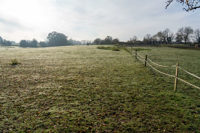
Lower Halfpenny Bottom, Middlesex (Valley) is a small rural settlement located in the county of Middlesex, England. Situated in the southeastern part of the country, it is nestled within a picturesque valley, surrounded by rolling hills and lush greenery. The village is known for its idyllic natural beauty and tranquil atmosphere, making it a popular destination for nature lovers and those seeking a peaceful retreat.

The name "Lower Halfpenny Bottom" is derived from the old English word "halpenig," which means halfpenny, and "bottom," which refers to a valley or low-lying area. This name reflects the village's historical association with agriculture and farming, which has been a significant part of its economy for centuries.

The settlement has a small population, primarily consisting of local residents who have been living in the area for generations. The village is characterized by charming cottages and traditional English architecture, adding to its quaint charm.

Despite its rural character, Lower Halfpenny Bottom is well-connected to nearby towns and cities, with good transportation links and access to essential amenities. The village also benefits from its proximity to several notable attractions, including historical sites, country parks, and nature reserves, offering residents and visitors a range of recreational activities.

Lower Halfpenny Bottom, Middlesex (Valley) is a hidden gem in the heart of the English countryside, offering a peaceful and scenic setting for those looking to escape the hustle and bustle of city life.

If you have any feedback on the listing, please let us know in the comments section below.

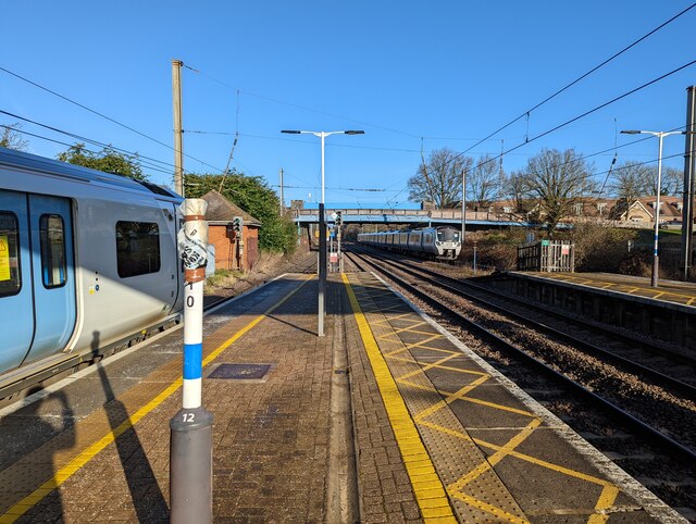
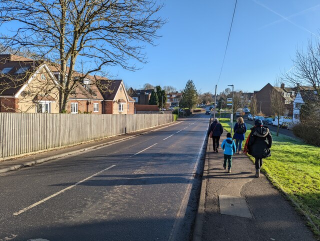
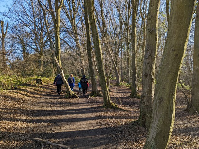
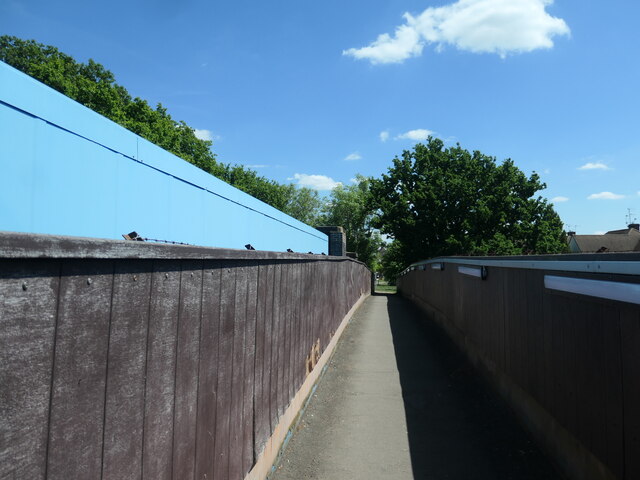
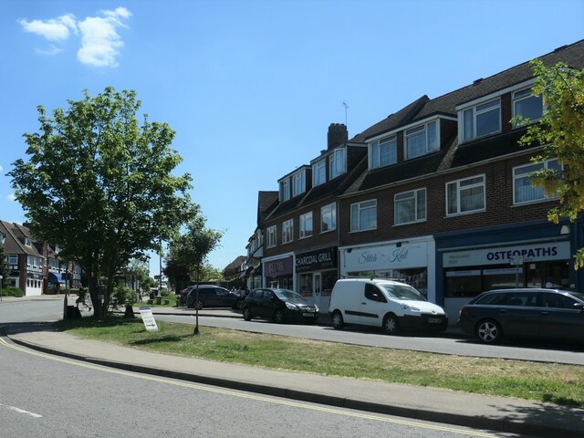
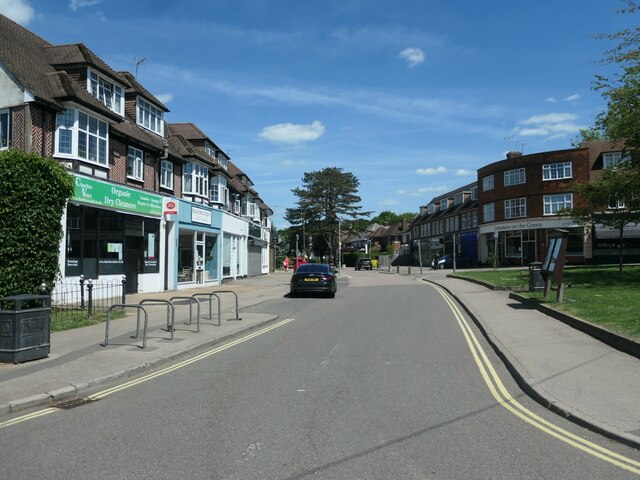
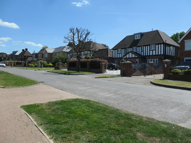
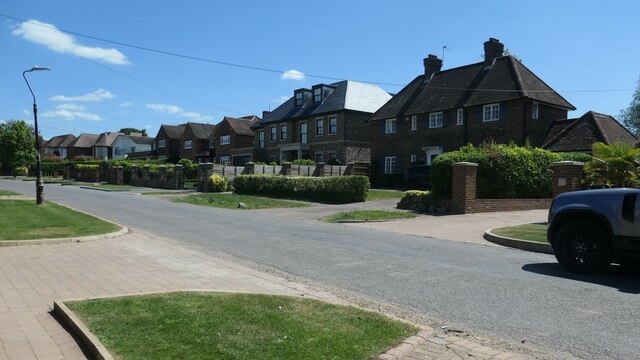
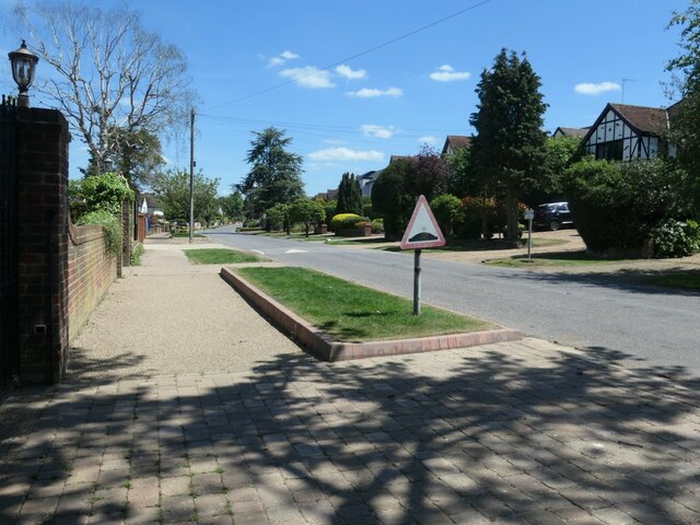
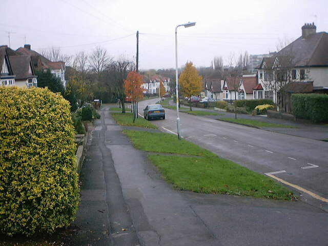
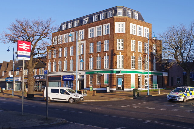
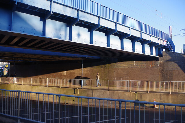
Lower Halfpenny Bottom Images

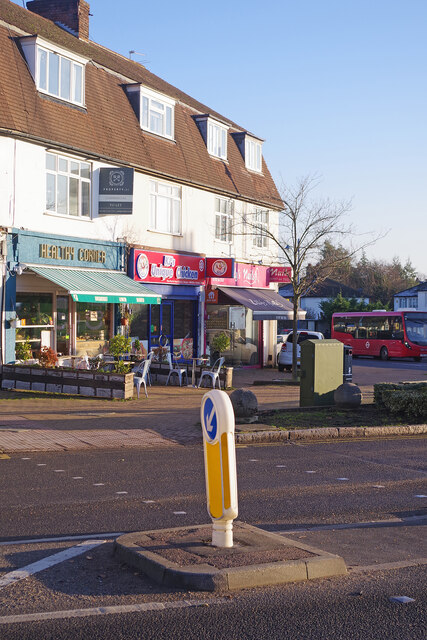
Images are sourced within 2km of 51.705693/-0.20575059 or Grid Reference TL2402. Thanks to Geograph Open Source API. All images are credited.

Area around Potters Bar station
Felled trees in Gobions Wood
Path along the south of Gobions Wood
Fields to the south of Gobions Wood
View north from platform of Brookmans Park station
Station road, immediately east of Brookmans Park station, facing east
Gobions Wood facing east on the path
Footbridge over the railway line, Brookmans Park The pale blue structure is the parallel road bridge, carrying Station Road over the East Coast Main Line.
Footbridge over the railway line, Brookmans Park
The pale blue structure is the parallel road bridge, carrying Station Road over the East Coast Main Line.
Shops, the south side of Bradmore Green And no longer just shops. Built after 1950. This is the retail and services centre of Brookmans Park.
Shops, the south side of Bradmore Green
And no longer just shops. Built after 1950. This is the retail and services centre of Brookmans Park.
Shops, the north side of Bradmore Green And no longer just shops. Built after 1950. This is the retail and services centre of Brookmans Park.
Shops, the north side of Bradmore Green
And no longer just shops. Built after 1950. This is the retail and services centre of Brookmans Park.
Houses on the south side of Brookmans Avenue One of the earliest roads in Brookmans Park, a commuting village developed in the 1920s and 1930s. Most of these houses had been built by 1935.
Houses on the south side of Brookmans Avenue
One of the earliest roads in Brookmans Park, a commuting village developed in the 1920s and 1930s. Most of these houses had been built by 1935.
The south side of Brookmans Avenue One of the earliest roads in Brookmans Park, a commuting village developed in the 1920s and 1930s. Most of these houses had been built by 1935.
The south side of Brookmans Avenue
One of the earliest roads in Brookmans Park, a commuting village developed in the 1920s and 1930s. Most of these houses had been built by 1935.
Sleeping policeman, Brookmans Avenue Traffic management in the commuter village of Brookmans Park.
Sleeping policeman, Brookmans Avenue
Traffic management in the commuter village of Brookmans Park.
Houses on Strafford Gate
Leighton House, Potters Bar Although the station at Potters Bar opened in 1850 the area around it did not become built up until well into the 20th century. Much of the town's development came after the Second World War and Leighton House on Darkes Lane was built opposite the station in the 1950s. Today it houses retail units and a dental practice on the ground floor with apartments above. See <a href="https://www.geograph.org.uk/photo/3213875">TL2501 : Leighton House</a> taken in 2012 from roughly the same spot which shows a branch of Barclays Bank where Specsavers is now.
Leighton House, Potters Bar
Although the station at Potters Bar opened in 1850 the area around it did not become built up until well into the 20th century. Much of the town's development came after the Second World War and Leighton House on Darkes Lane was built opposite the station in the 1950s. Today it houses retail units and a dental practice on the ground floor with apartments above. See TL2501 : Leighton House taken in 2012 from roughly the same spot which shows a branch of Barclays Bank where Specsavers is now.
Darkes Lane Bridge, Potters Bar This bridge at the south end of Potters Bar station carries the East Coast Main Line over Darkes Lane. When the railway was built a low girder design was adopted to lessen the gradient heading north through Barnet and Hadley Wood; as a consequence the roadway has had to be lowered to accommodate modern traffic. In May 2002 a serious derailment occurred on a set of points on the approach to the bridge causing a Kings Cross to Kings Lynn train to crash into the station platforms. One of the carriages struck the bridge parapet causing masonry to fall onto the road below. In addition to six passengers in the train, an elderly woman was killed while walking under the bridge. A replacement bridge had to be provided which was installed in November 2002, painted blue at the request of Hertsmere Council.
Darkes Lane Bridge, Potters Bar
This bridge at the south end of Potters Bar station carries the East Coast Main Line over Darkes Lane. When the railway was built a low girder design was adopted to lessen the gradient heading north through Barnet and Hadley Wood; as a consequence the roadway has had to be lowered to accommodate modern traffic. In May 2002 a serious derailment occurred on a set of points on the approach to the bridge causing a Kings Cross to Kings Lynn train to crash into the station platforms. One of the carriages struck the bridge parapet causing masonry to fall onto the road below. In addition to six passengers in the train, an elderly woman was killed while walking under the bridge. A replacement bridge had to be provided which was installed in November 2002, painted blue at the request of Hertsmere Council.
Darkes Lane, Potters Bar This view shows the southern end of Darkes Lane where it meets Mutton Lane and there is a parade of shops on the corner. Beyond here Darkes Lane becomes Baker Street although the latter is the older name; Darkes Lane was only so-called from the early 1930s.
Darkes Lane, Potters Bar
This view shows the southern end of Darkes Lane where it meets Mutton Lane and there is a parade of shops on the corner. Beyond here Darkes Lane becomes Baker Street although the latter is the older name; Darkes Lane was only so-called from the early 1930s.
Candie Stop, Potters Bar There is no missing this shop on Mutton Lane. As well as The Sun, it sells 'groceries, newspapers, lottery, confectionery, greeting cards, bus pass, off licence, Oyster, phone top up, stationery'. The free-standing boards advertise the National Lottery and the Welwyn Hatfield Times.
Candie Stop, Potters Bar
There is no missing this shop on Mutton Lane. As well as The Sun, it sells 'groceries, newspapers, lottery, confectionery, greeting cards, bus pass, off licence, Oyster, phone top up, stationery'. The free-standing boards advertise the National Lottery and the Welwyn Hatfield Times.
Show me another place!

Lower Halfpenny Bottom is located at Grid Ref: TL2402 (Lat: 51.705693, Lng: -0.20575059)

Administrative County: Hertfordshire

District: Hertsmere

Police Authority: Hertfordshire

What 3 Words

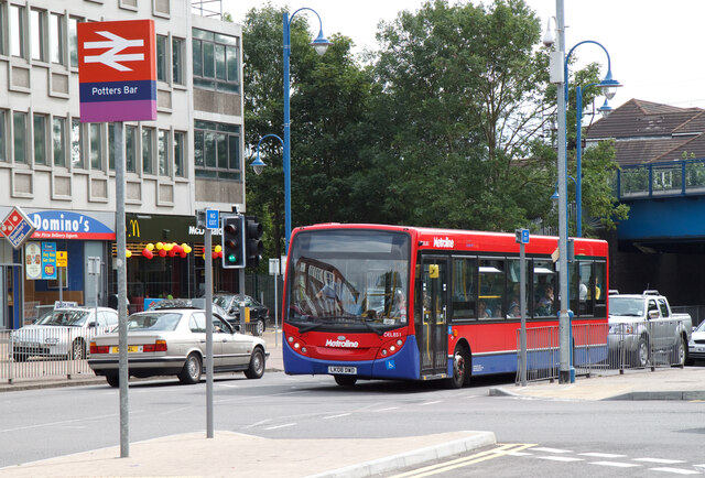
///combining.rush.deed. Near Potters Bar, Hertfordshire

Nearby Locations

Lower Halfpenny Bottom

Related Wikis

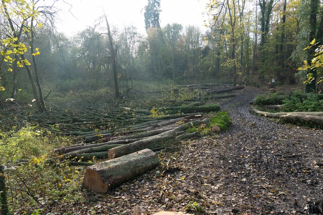
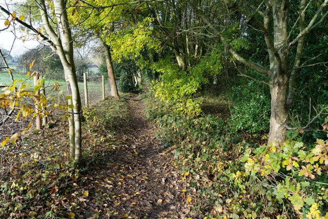
Furzefield Wood and Lower Halfpenny Bottom

Furzefield Wood and Lower Halfpenny is a 7.4 hectare Local Nature Reserve in Potters Bar in Hertfordshire. It is owned and managed by Hertsmere Borough...
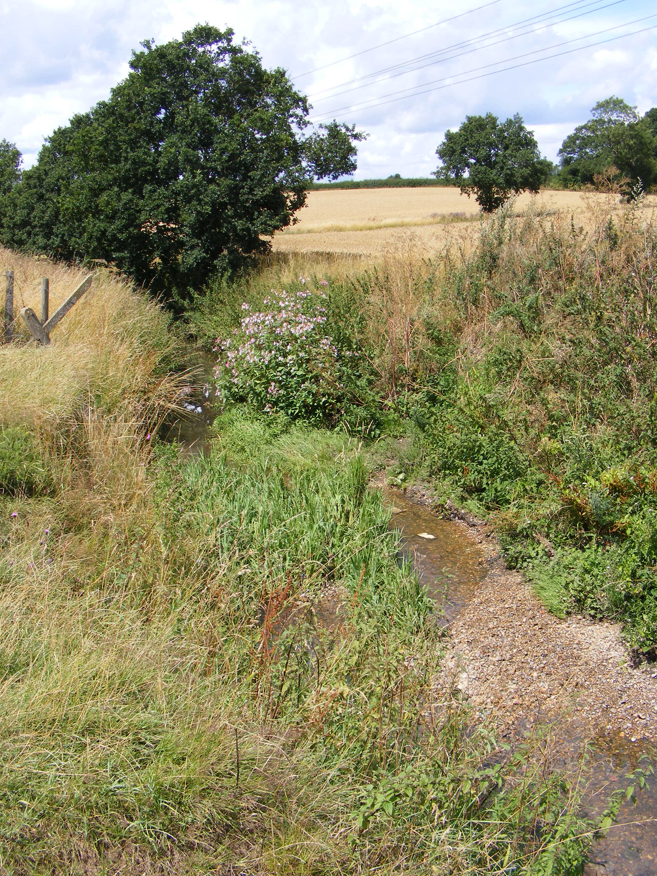
Potters Bar Brook

Potters Bar Brook is a 3.3 km (2.0 mi) long stream (brook) in Hertfordshire, England, that is a tributary to the Mimmshall Brook.Rising in the town of...

Queen Mother Hospital for Animals

The Queen Mother Hospital for Animals (QMHA) is a teaching hospital located near Potters Bar, Hertfordshire. More than 100 veterinary nurses work alongside...

Castle Lime Works Quarry

Castle Lime Works Quarry is a 1.6 hectares (4.0 acres) geological Site of Special Scientific Interest near South Mimms in Hertfordshire. The site was notified...

Nearby Amenities

Located within 500m of 51.705693,-0.20575059
Mini Roundabout
Lat/Long: 51.7033742/-0.2035131
Turning Circle
Lat/Long: 51.7034677/-0.2046133
Recycling
Potters Bar Household Waste Recycling Centre
Addr Postcode: EN6 3JN
Addr Street: Cranborne Road
Opening Hours: Mo-Su 08:00-16:00
Recycling Aluminium: yes
Recycling Batteries: yes
Recycling Beverage Cartons: yes
Recycling Books: yes
Recycling Cans: yes
Recycling Cardboard: yes
Recycling Cartons: yes
Recycling Chipboard: yes
Recycling Clothes: yes
Recycling Cooking Oil: yes
Recycling Cork: yes
Recycling Engine Oil: yes
Recycling Flat Glass: yes
Recycling Foil: yes
Recycling Fridge And Freezer: yes
Recycling Garden Waste: yes
Recycling Glass Bottles: yes
Recycling Green Waste: yes
Recycling Magazines: yes
Recycling Newspaper: yes
Recycling Paper: yes
Recycling Paper Packaging: yes
Recycling Plasterboard: yes
Recycling Plastic: yes
Recycling Plastic Bottles: yes
Recycling Polyester: yes
Recycling Scrap Metal: yes
Recycling Sheet Metal: yes
Recycling Shoes: yes
Recycling Small Appliances: yes
Recycling Tv Monitor: yes
Recycling Tyres: yes
Recycling Waste: yes
Recycling Waste Oil: yes
Recycling White Goods: yes
Recycling Wood: yes
Website: https://www.hertsmere.gov.uk/environmentplanning/recyclingandwaste/recycling/householdwastedisposalsites.jsp
Lat/Long: 51.7070665/-0.2057809
Cranborne Crescent
Naptan AtcoCode: 210021000780
Naptan Bearing: N
Naptan BusStopType: CUS
Naptan CommonName: Cranborne Crescent
Naptan Crossing: Cranborne Crescent
Naptan Indicator: opp
Naptan Landmark: Cranborne Crescent
Naptan NaptanCode: hrtgptpm
Naptan PlusbusZoneRef: POTRSBR
Naptan ShortCommonName: NA
Naptan Street: Cranborne Road
Naptan Verified: no
Source: naptan_import
Lat/Long: 51.7026261/-0.2037705
Bus Stop
Cranbourne Avenue
Naptan AtcoCode: 210021000790
Naptan Bearing: N
Naptan CommonName: Cranbourne Avenue
Naptan Landmark: Unknown
Naptan NaptanCode: hrtgptpt
Naptan PlusbusZoneRef: POTRSBR
Naptan ShortCommonName: NA
Naptan Street: Cranborne Road
Naptan Verified: no
Public Transport: platform
Source: naptan_import
Lat/Long: 51.7050401/-0.2025068
Bus Stop
Industrial Est Terminus
Naptan AtcoCode: 210021000800
Naptan Bearing: S
Naptan CommonName: Industrial Est Terminus
Naptan Indicator: S-bound
Naptan Landmark: Unknown
Naptan NaptanCode: hrtgptpw
Naptan PlusbusZoneRef: POTRSBR
Naptan ShortCommonName: NA
Naptan Street: Cranborne Road
Naptan Verified: no
Public Transport: platform
Source: naptan_import
Lat/Long: 51.7065384/-0.2014589
Bus Stop
Cranbourne Avenue
Naptan AtcoCode: 210021000810
Naptan Bearing: S
Naptan CommonName: Cranbourne Avenue
Naptan Indicator: opp
Naptan Landmark: Unknown
Naptan NaptanCode: hrtgptwa
Naptan PlusbusZoneRef: POTRSBR
Naptan ShortCommonName: NA
Naptan Street: Cranborne Road
Naptan Verified: no
Public Transport: platform
Source: naptan_import
Lat/Long: 51.7049871/-0.202331
Cranborne Crescent
Naptan AtcoCode: 210021001180
Naptan Bearing: S
Naptan BusStopType: CUS
Naptan CommonName: Cranborne Crescent
Naptan Crossing: Cranborne Crescent
Naptan Indicator: adj
Naptan Landmark: Cranborne Crescent
Naptan NaptanCode: hrtgptgp
Naptan PlusbusZoneRef: POTRSBR
Naptan ShortCommonName: NA
Naptan Street: Cranborne Road
Naptan Verified: no
Source: naptan_import
Lat/Long: 51.7023999/-0.2036782
Barrier: kissing_gate
Foot: designated
Lat/Long: 51.7073989/-0.2011568
Barrier: kissing_gate
Lat/Long: 51.7060862/-0.2074899
Turning Circle
Lat/Long: 51.7030386/-0.2024852
Material: wood
Power: pole
Lat/Long: 51.7086778/-0.2030942
Material: wood
Power: pole
Lat/Long: 51.707934/-0.2025323
Material: wood
Power: pole
Lat/Long: 51.7073938/-0.2021259
Power: pole
Lat/Long: 51.7076606/-0.2052802
Power: pole
Lat/Long: 51.7069625/-0.207037
Power: pole
Lat/Long: 51.706291/-0.2085954
Power: pole
Lat/Long: 51.706286/-0.2103737
Power: pole
Lat/Long: 51.7062943/-0.2122057
Post Box
Collection Times: Mo-Fr 18:15; Sa 11:30
Operator: Royal Mail
Post Box Type: parcel
Ref: EN6 500P
Royal Cypher: no
Lat/Long: 51.7047649/-0.202467
Post Box
Collection Times: Mo-Fr 17:00; Sa 11:30
Operator: Royal Mail
Post Box Type: pillar
Ref: EN6 110
Royal Cypher: GR
Royal Cypher Wikidata: Q33102273
Lat/Long: 51.7020596/-0.2036885
Barrier: entrance
Lat/Long: 51.7071573/-0.2125539
Ford: yes
Lat/Long: 51.7061333/-0.2084967
Barrier: kissing_gate
Lat/Long: 51.7041389/-0.2081655
Barrier: kissing_gate
Lat/Long: 51.7040013/-0.2049037
Traffic Calming: cushion
Lat/Long: 51.7018434/-0.2038477
Crossing
Crossing: marked
Lat/Long: 51.7020135/-0.203805
Crossing
Crossing: unmarked
Traffic Calming: island
Lat/Long: 51.70228/-0.2037551
Traffic Calming: cushion
Lat/Long: 51.7023052/-0.2037483
Traffic Calming: cushion
Lat/Long: 51.7027574/-0.2036619
Traffic Calming: cushion
Lat/Long: 51.7032498/-0.2035291
Direction: 155
Generator Method: photovoltaic
Generator Output Electricity: yes
Generator Solar Modules: 200
Generator Source: solar
Generator Type: solar_photovoltaic_panel
Location: roof
Power: generator
Tilt: 10
Lat/Long: 51.7033366/-0.2001644
Barrier: height_restrictor
Lat/Long: 51.7039524/-0.2032319
Barrier: height_restrictor
Lat/Long: 51.703571/-0.2034918
Crossing
Crossing: unmarked
Lat/Long: 51.7033806/-0.203599
Crossing
Crossing: unmarked
Lat/Long: 51.703123/-0.2034587
Crossing
Lat/Long: 51.7045158/-0.202625
Crossing
Lat/Long: 51.7040121/-0.2029845
Crossing
Crossing: unmarked
Lat/Long: 51.7019534/-0.202244
Crossing
Crossing: unmarked
Lat/Long: 51.702017/-0.2030023
Crossing
Crossing: unmarked
Lat/Long: 51.7021199/-0.2036933
Crossing
Crossing: unmarked
Lat/Long: 51.7025628/-0.2037898
Crossing
Crossing: unmarked
Lat/Long: 51.7014651/-0.2040401
Crossing
Crossing: unmarked
Lat/Long: 51.702005/-0.2018816
Power: pole
Lat/Long: 51.7048632/-0.2128745
Power: pole
Lat/Long: 51.7046028/-0.2115426
Cranborne
Place: neighbourhood
Lat/Long: 51.7015198/-0.2031696
The data included in this document is from www.openstreetmap.org. The data is made available under ODbL.

Have you been to Lower Halfpenny Bottom?

Leave your review of Lower Halfpenny Bottom below (or comments, questions and feedback).