Chalk Dell
Valley in Hertfordshire St. Albans
England
Chalk Dell

Chalk Dell is a picturesque valley located in Hertfordshire, England. Situated in the southeastern part of the county, the valley is known for its stunning natural beauty and tranquil atmosphere.
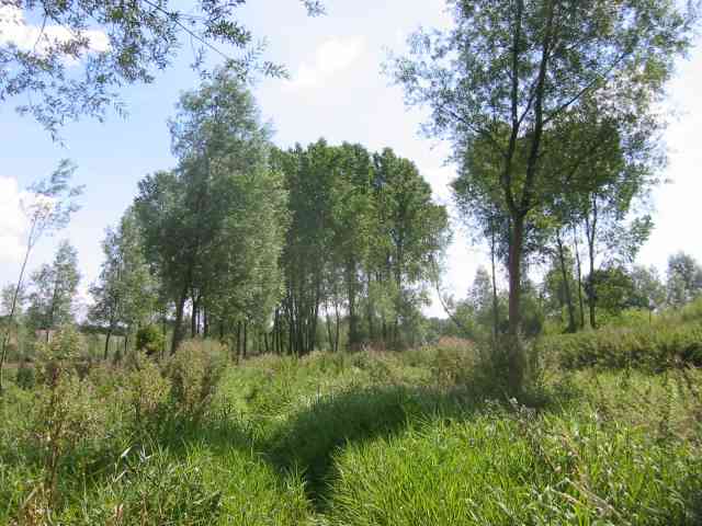
The valley takes its name from the chalky terrain that dominates the landscape. The chalk hills that surround the dell add to its scenic charm, creating a unique and idyllic setting. The lush greenery and diverse flora and fauna make it a popular destination for nature lovers and hikers.
Chalk Dell is home to a variety of wildlife, including birds, butterflies, and small mammals. The area's rich biodiversity is attributed to the presence of woodland, meadows, and a small stream that runs through the valley. The stream, fed by underground springs, adds to the charm of the dell, providing a soothing soundtrack to accompany the natural beauty.
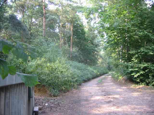
Visitors to Chalk Dell can enjoy a range of activities, such as walking, picnicking, and birdwatching. The well-maintained footpaths and trails offer scenic routes through the valley, allowing visitors to explore its nooks and crannies at their own pace. The dell also offers several picnic spots, where visitors can relax and enjoy the peaceful ambiance.
Overall, Chalk Dell in Hertfordshire is a hidden gem that offers a serene and enchanting escape from the bustle of everyday life. Its natural beauty, diverse wildlife, and peaceful atmosphere make it a must-visit destination for those seeking a connection with nature.
If you have any feedback on the listing, please let us know in the comments section below.
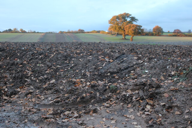
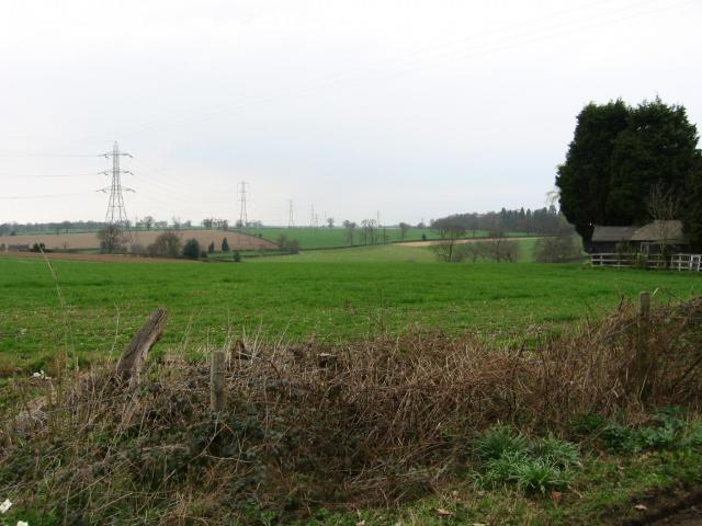
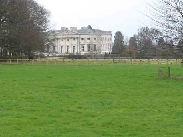
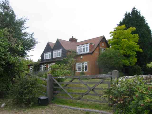
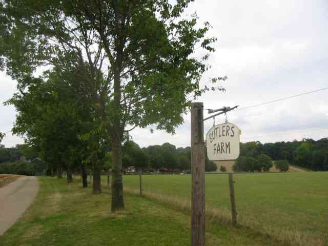
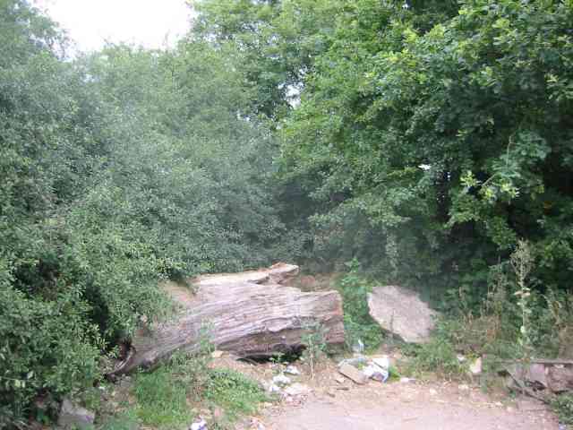
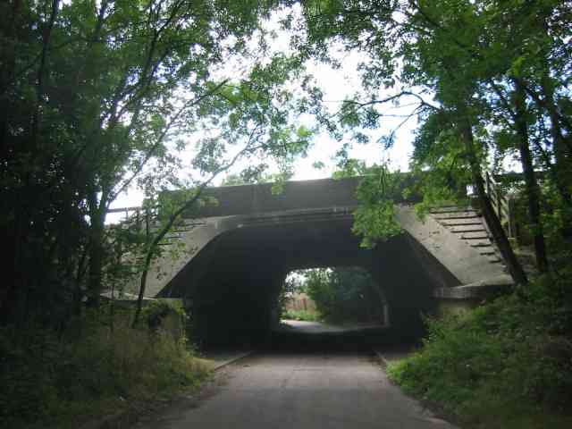
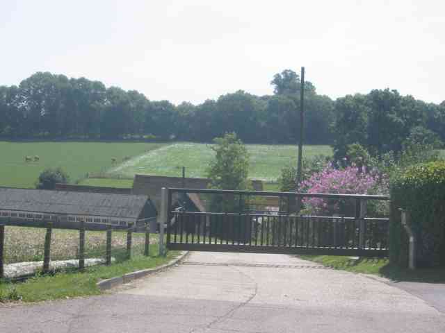
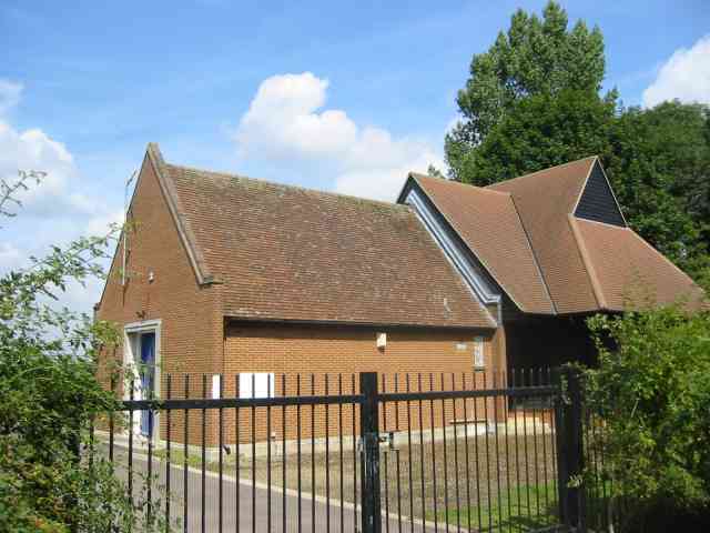
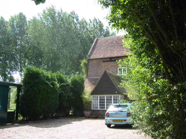
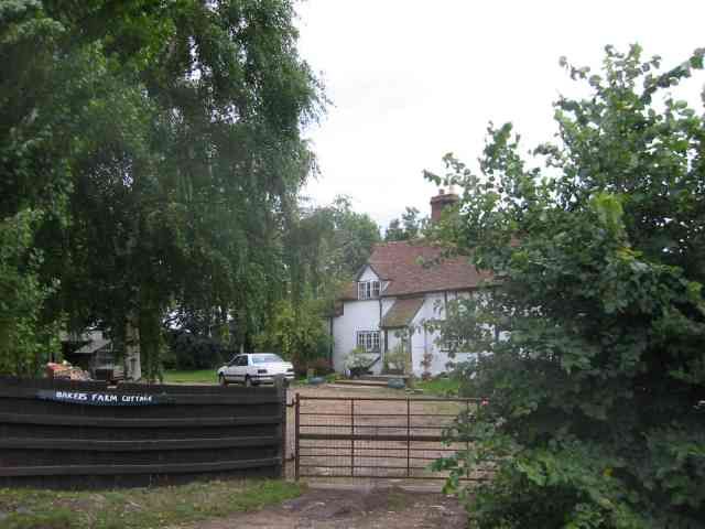
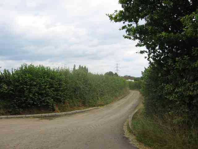
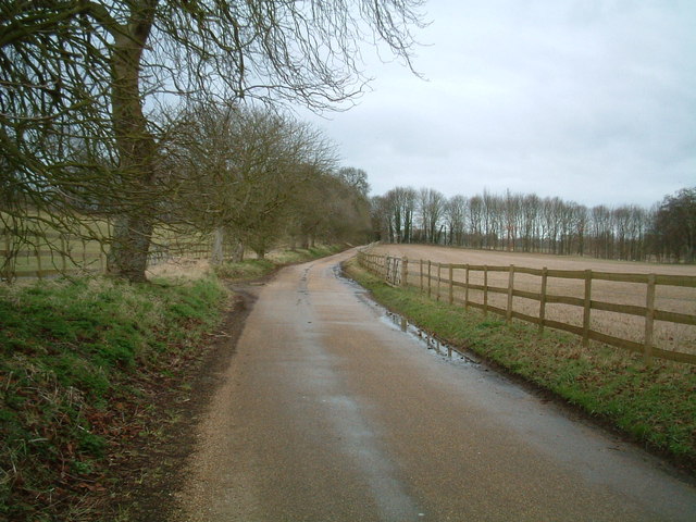
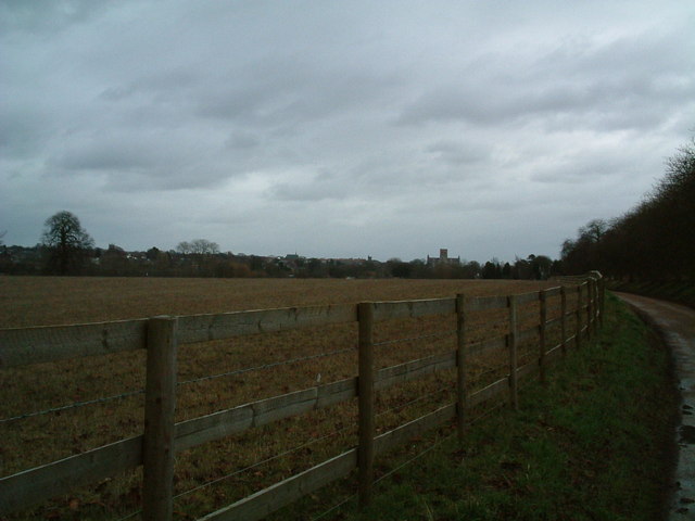
Chalk Dell Images
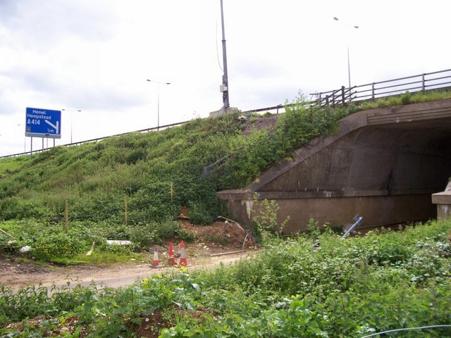
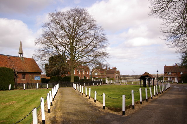
Images are sourced within 2km of 51.760361/-0.38790154 or Grid Reference TL1108. Thanks to Geograph Open Source API. All images are credited.
Chalk Dell is located at Grid Ref: TL1108 (Lat: 51.760361, Lng: -0.38790154)
Administrative County: Hertfordshire
District: St. Albans
Police Authority: Hertfordshire
What 3 Words
///bats.rots.steep. Near St Albans, Hertfordshire
Nearby Locations
Related Wikis
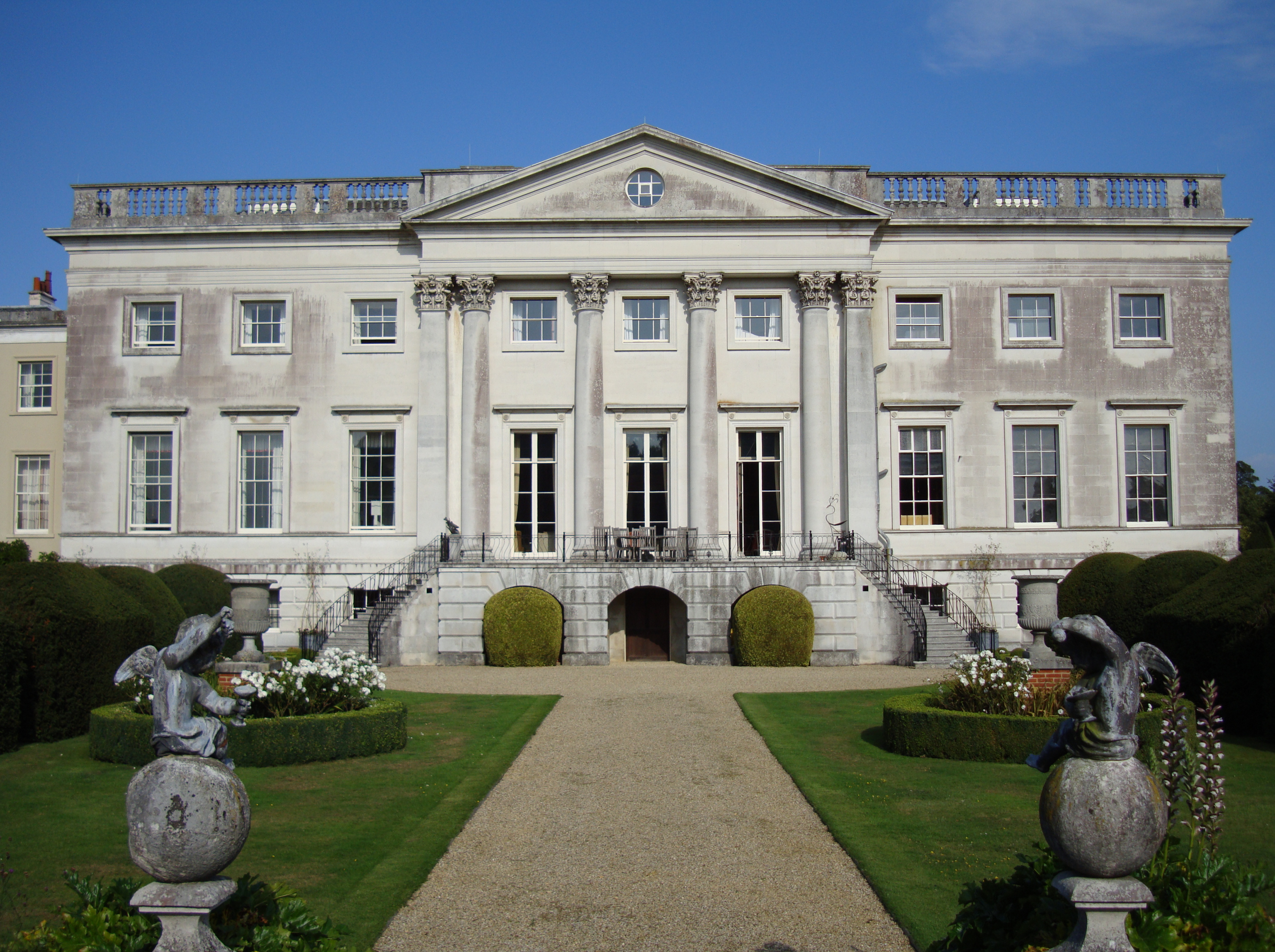
Gorhambury House
Gorhambury House is a Palladian-style house near St Albans, Hertfordshire, England. It was built between 1777 and 1784 to replace Old Gorhambury House...

Old Gorhambury House
Old Gorhambury House located near St Albans, Hertfordshire, England, is a ruined Elizabethan mansion, a leading and early example of the Elizabethan prodigy...
St Michael, Hertfordshire
St Michael is a civil parish in the St Albans district in Hertfordshire, England. The parish is named after but no longer includes St Michael's Church...

Verlamion
Verlamion, or Verlamio, was a settlement in Iron Age Britain. It was a major centre of the Catuvellauni tribe from about 20 BC until shortly after the...
Nearby Amenities
Located within 500m of 51.760361,-0.38790154Have you been to Chalk Dell?
Leave your review of Chalk Dell below (or comments, questions and feedback).