St Helen's Gill
Valley in Yorkshire Harrogate
England
St Helen's Gill
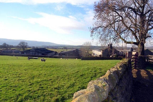
St Helen's Gill, located in Yorkshire, is a picturesque valley that offers breathtaking natural scenery and a rich history. Nestled amidst the North York Moors National Park, this tranquil and secluded area is a haven for nature enthusiasts and avid hikers.
The gill, which is another word for a narrow valley or ravine, is named after the nearby St Helen's Church. The church, dating back to the 12th century, adds to the charm and historical significance of the area. Visitors can explore the church and admire its beautiful architecture and ancient artifacts.
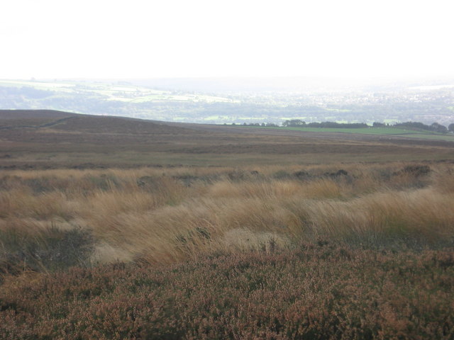
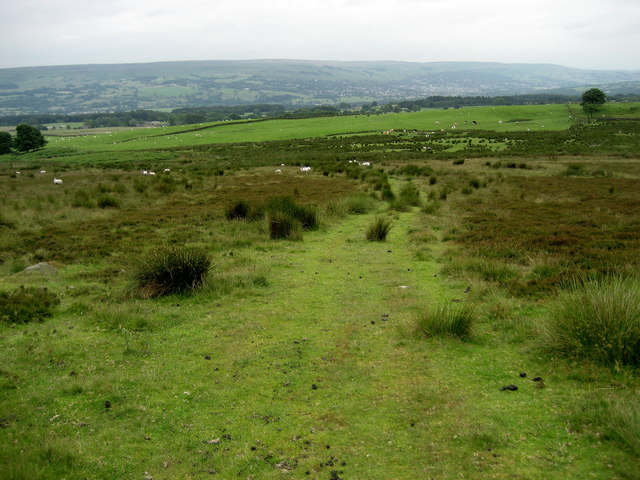
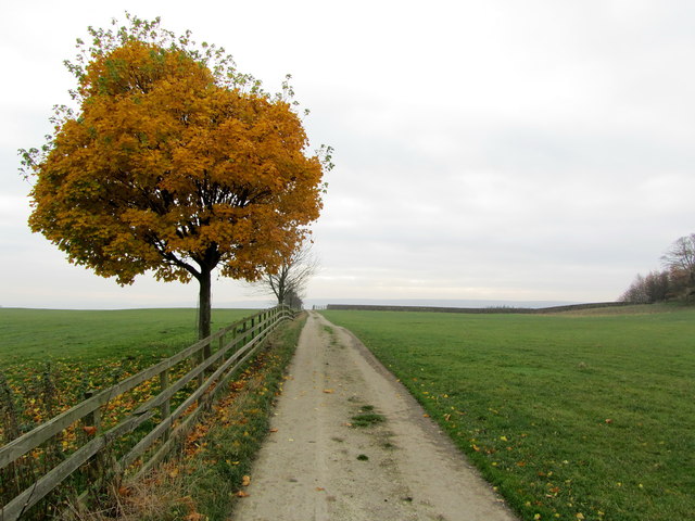
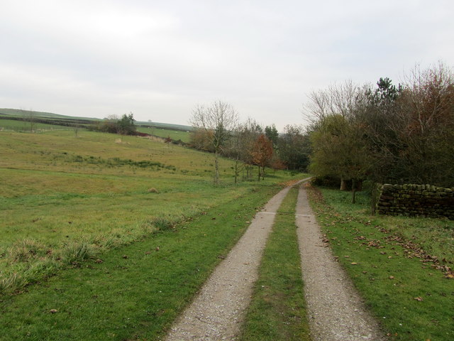
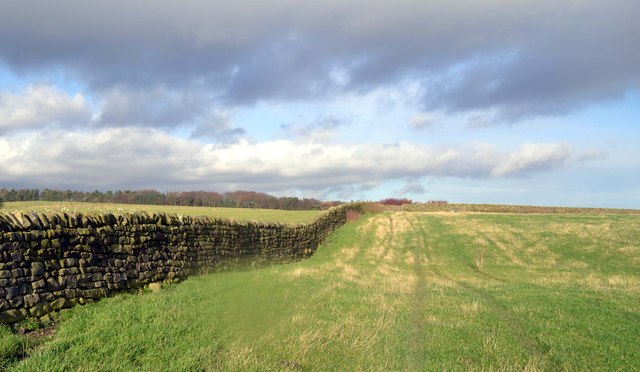
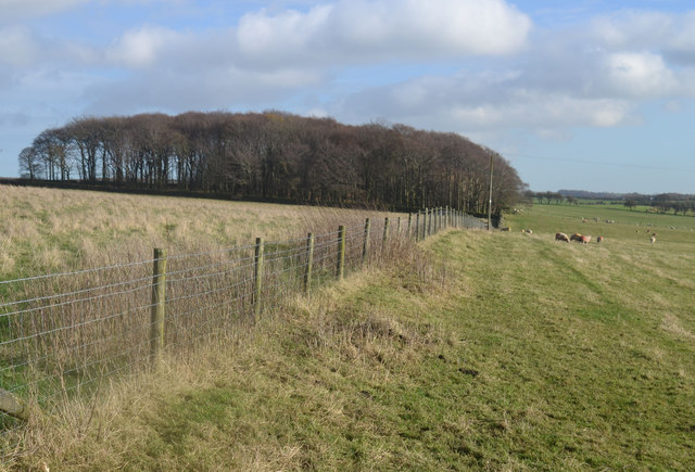
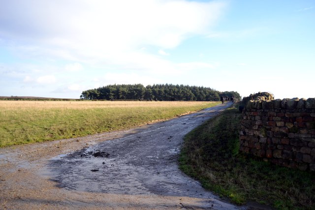
The valley itself is characterized by its lush greenery, dense woodlands, and stunning waterfalls. St Helen's Gill boasts a network of walking trails that cater to varying levels of difficulty, ensuring that visitors of all abilities can enjoy the natural beauty of the area. The trails wind through the valley, offering breathtaking views of cascading waterfalls, meandering streams, and vibrant wildflowers.
The area is home to a diverse range of flora and fauna, including rare species such as the red squirrel and the ring ouzel. Birdwatchers can spot a variety of birds, including peregrine falcons and kestrels, soaring above the valley.
St Helen's Gill provides a peaceful retreat from the hustle and bustle of everyday life. Whether visitors choose to explore the trails, picnic by the waterfalls, or simply soak up the serene ambiance, this hidden gem in Yorkshire offers a truly enchanting experience for all who venture into its depths.
If you have any feedback on the listing, please let us know in the comments section below.
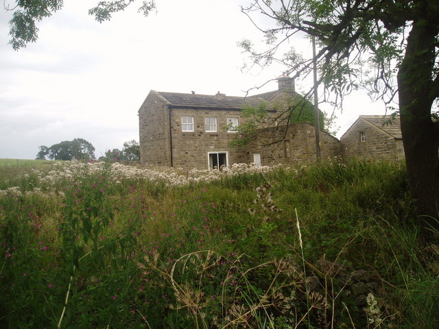
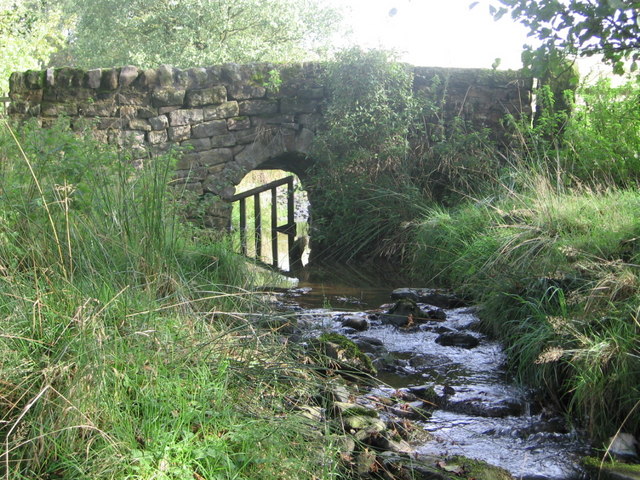
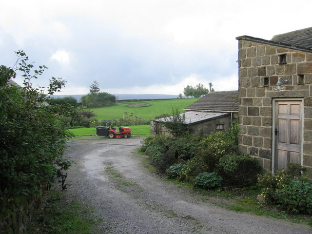
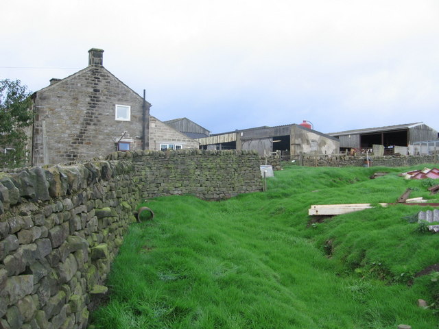
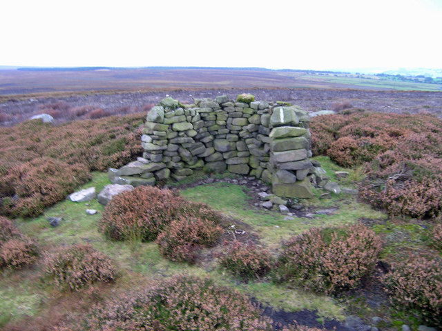
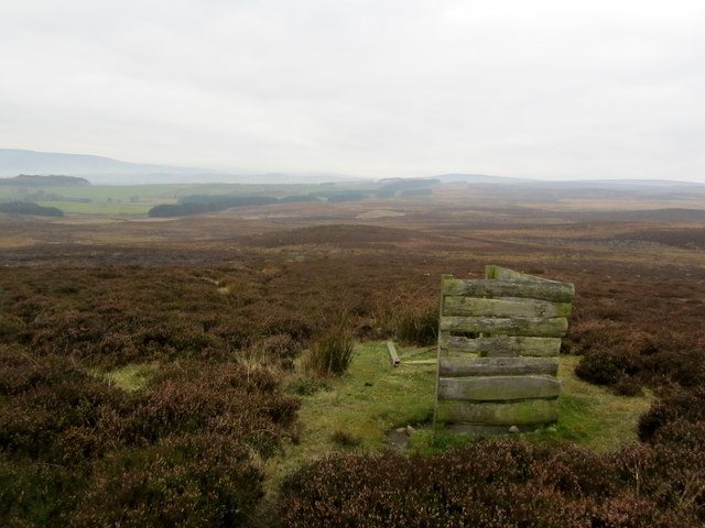
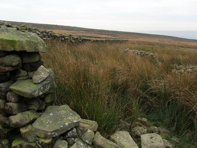
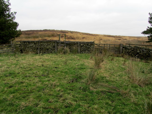
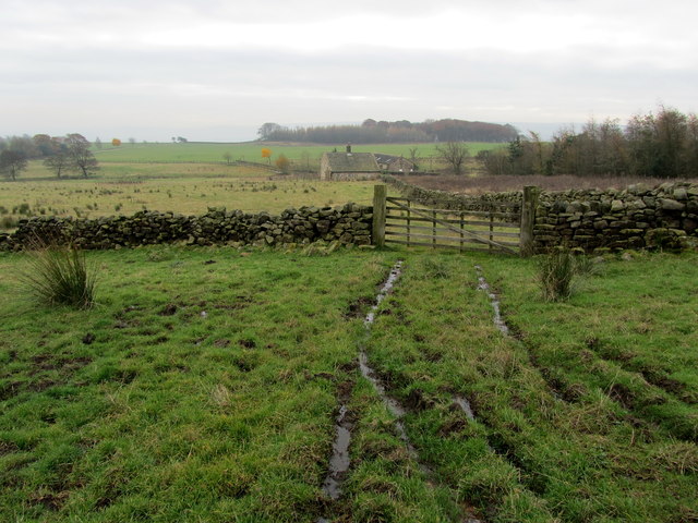
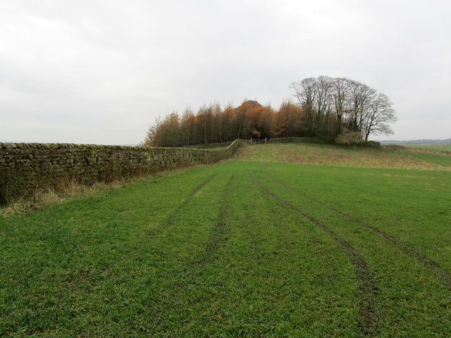
St Helen's Gill Images
Images are sourced within 2km of 53.94119/-1.7632316 or Grid Reference SE1549. Thanks to Geograph Open Source API. All images are credited.
St Helen's Gill is located at Grid Ref: SE1549 (Lat: 53.94119, Lng: -1.7632316)
Division: West Riding
Administrative County: North Yorkshire
District: Harrogate
Police Authority: North Yorkshire
What 3 Words
///laminated.verve.clattered. Near Burley in Wharfedale, West Yorkshire
Nearby Locations
Related Wikis

Denton Hall, Wharfedale
Denton Hall is an English country house located to the north of the River Wharfe, at Denton, Borough of Harrogate, North Yorkshire, England between Otley...
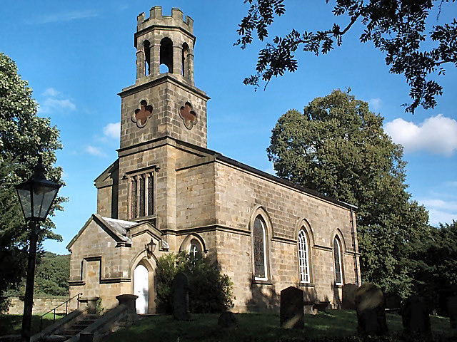
Church of St Helen, Denton
The Church of St Helen, Denton is a parish church in the hamlet of Denton, near Otley, in North Yorkshire, England. The church was built in 1776 by the...

Denton, North Yorkshire
Denton is a hamlet and civil parish in the Harrogate district of North Yorkshire, England. At the 2011 Census the population of this civil parish was less...

Askwith
Askwith is a village and civil parish in North Yorkshire, England, with a population of 220 (2001 census), increasing to 240 at the 2011 Census. The village...
Nearby Amenities
Located within 500m of 53.94119,-1.7632316Have you been to St Helen's Gill?
Leave your review of St Helen's Gill below (or comments, questions and feedback).