Rainbow Bottom

Valley in Wiltshire

England

Rainbow Bottom

Trees in the grass The small bushes follow an old field boundary. One of the byelaws is that you can't enter the larger plantations, such as the one on the horizon, as they are used by troops training on the plain.
Trees in the grass Credit: Hugh Venables

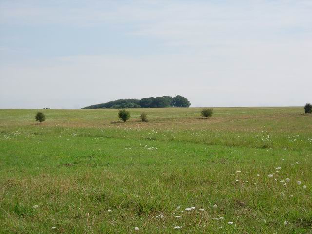
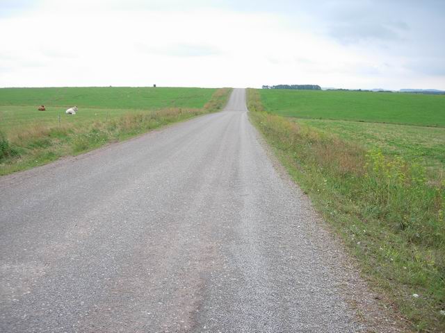
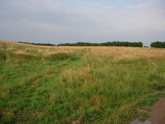
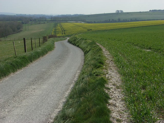
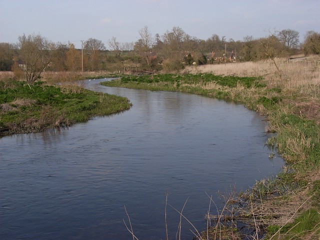
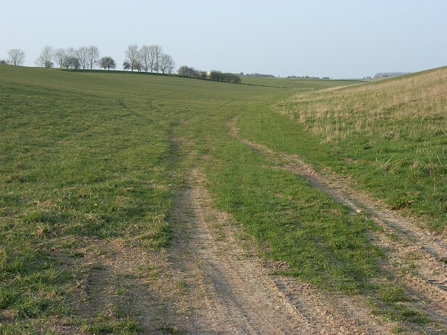
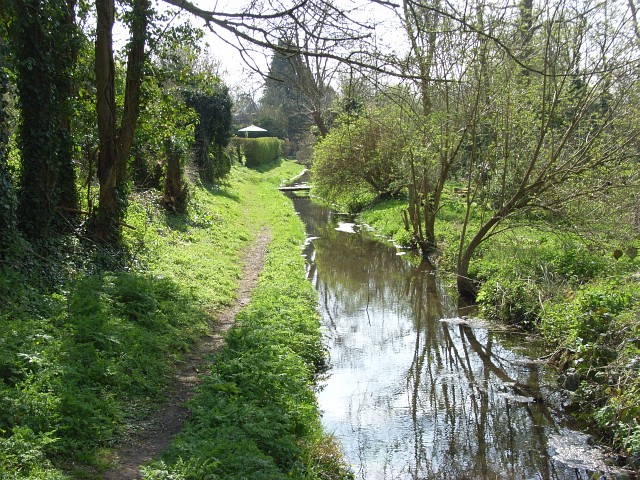
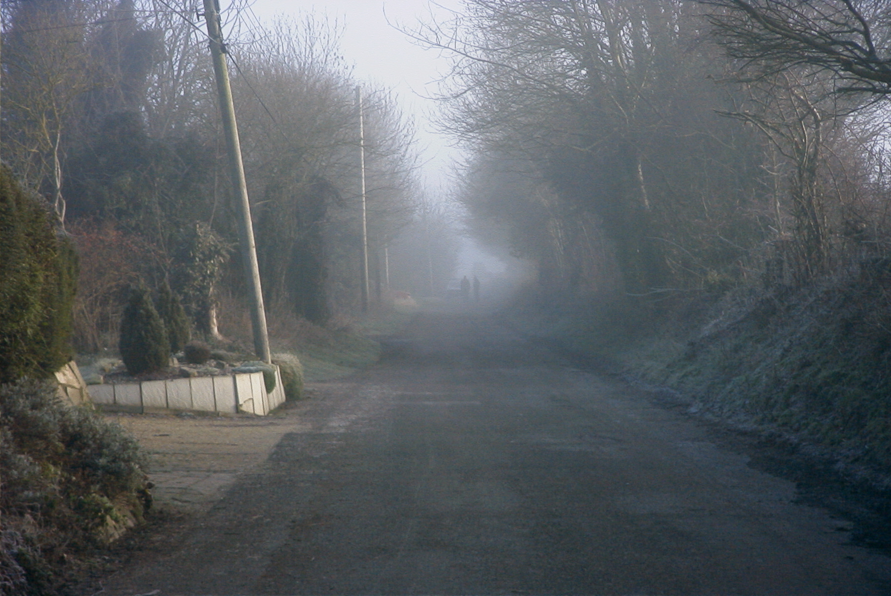
Rainbow Bottom is a picturesque valley located in the county of Wiltshire, England. Nestled in the heart of the countryside, this idyllic spot is renowned for its natural beauty and tranquility.

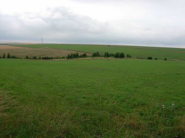
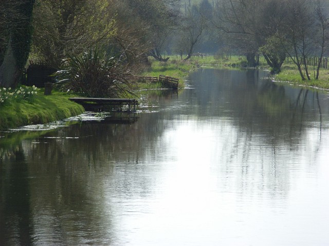
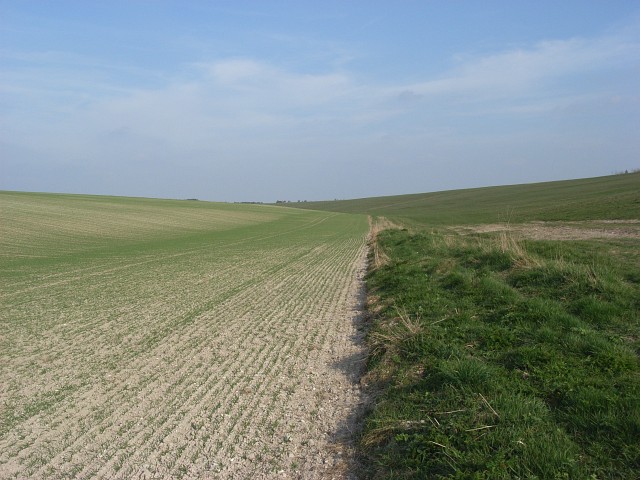
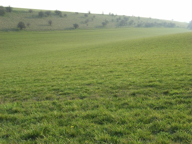
The valley is characterized by its rolling hills, lush green meadows, and meandering streams that wind their way through the landscape. The area is rich in wildlife, with an abundance of birds, butterflies, and other small creatures that call this valley home. The diverse range of plant species adds to the vibrant colors and atmosphere of Rainbow Bottom.

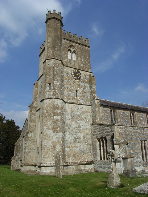
At the heart of the valley lies a charming village that bears the same name. The village consists of a small cluster of traditional cottages, each adorned with colorful gardens that reflect the charm and character of the area. The community is close-knit, with a friendly and welcoming atmosphere.

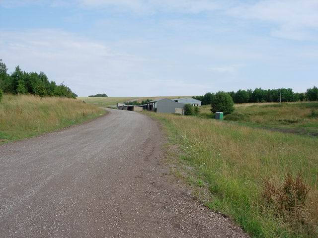
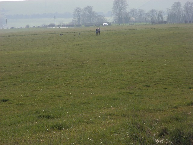
Rainbow Bottom is a popular destination for nature lovers and outdoor enthusiasts. The valley offers a network of walking trails that allow visitors to explore its natural wonders. From gentle strolls to more challenging hikes, there is something for everyone to enjoy. The valley also provides opportunities for cycling, horseback riding, and picnicking in the tranquil surroundings.

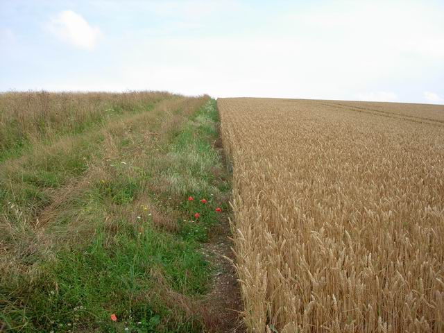
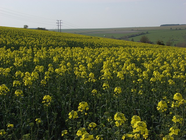
In addition to its natural beauty, Rainbow Bottom is known for its local produce. The valley is home to several farms that produce high-quality organic fruits, vegetables, and dairy products. Visitors can enjoy farm-to-table dining experiences and purchase fresh produce directly from the farmers.

Overall, Rainbow Bottom is a hidden gem in Wiltshire, offering a peaceful escape from the hustle and bustle of city life. With its stunning scenery, friendly community, and outdoor recreational opportunities, it is a destination that appeals to both locals and tourists alike.

If you have any feedback on the listing, please let us know in the comments section below.

Rainbow Bottom Images

Images are sourced within 2km of 51.265901/-1.7780491 or Grid Reference SU1551. Thanks to Geograph Open Source API. All images are credited.

Trees in the grass The small bushes follow an old field boundary. One of the byelaws is that you can't enter the larger plantations, such as the one on the horizon, as they are used by troops training on the plain.
Trees in the grass
The small bushes follow an old field boundary. One of the byelaws is that you can't enter the larger plantations, such as the one on the horizon, as they are used by troops training on the plain.
Baden Down Farm One of few buildings on the plain
Baden Down Farm
One of few buildings on the plain
Rainbow Bottom Another area of farming around the edge of the open training area, but inside the danger area.
Rainbow Bottom
Another area of farming around the edge of the open training area, but inside the danger area.
Wheat and path Bridleway going up next to the crop - few field boundaries in this area.
Wheat and path
Bridleway going up next to the crop - few field boundaries in this area.
Dreweatt's Barn The lack of hedges continues the open feel of the area into the farmland.
Dreweatt's Barn
The lack of hedges continues the open feel of the area into the farmland.
Coombe Hill Some grazing in the area, electric fences being used as field boundaries.
Coombe Hill
Some grazing in the area, electric fences being used as field boundaries.
Open Grassland Part of the Salisbury Plain military training area, but also an open access area (subject to local bylaws, this area is never closed - other areas operate under the 'red flag' system). Add in archaeology and wildlife conservation and the management gets quite complicated - several clashes between (and occasionally within) the different interests. More information about access from <span class="nowrap"><a title="www.access.mod.uk" rel="nofollow ugc noopener" href="http://www.access.mod.uk">Link</a><img style="margin-left:2px;" alt="External link" title="External link - shift click to open in new window" src="https://s1.geograph.org.uk/img/external.png" width="10" height="10"/></span>
Open Grassland
Part of the Salisbury Plain military training area, but also an open access area (subject to local bylaws, this area is never closed - other areas operate under the 'red flag' system). Add in archaeology and wildlife conservation and the management gets quite complicated - several clashes between (and occasionally within) the different interests. More information about access from LinkExternal link
River Avon, Enford Looking downstream from the road bridge.
River Avon, Enford
Looking downstream from the road bridge.
Lane and farmland, Enford Zigzagging stretch of the lane leading to Enford Farm.
Lane and farmland, Enford
Zigzagging stretch of the lane leading to Enford Farm.
River Avon, Fifield Looking upstream from the MOD's bridge south of Fifield.
River Avon, Fifield
Looking upstream from the MOD's bridge south of Fifield.
Above Coombe Lane In a dry valley where arable land meets grassland.
Above Coombe Lane
In a dry valley where arable land meets grassland.
Grassland above Fittleton Popular with dog-walkers, the MOD track provides easy access for drivers.
Grassland above Fittleton
Popular with dog-walkers, the MOD track provides easy access for drivers.
Downland, East Chisenbury The dry valley south-east of the hamlet.
Downland, East Chisenbury
The dry valley south-east of the hamlet.
Downland, East Chisenbury Dry valley to the east of Upavon Airfield.
Downland, East Chisenbury
Dry valley to the east of Upavon Airfield.
River Avon, Chisenbury The river here has two channels. This is the eastern one viewed from the bridge on the footpath that links East and West Chisenbury.
River Avon, Chisenbury
The river here has two channels. This is the eastern one viewed from the bridge on the footpath that links East and West Chisenbury.
Stream, East Chisenbury With a public footpath alongside. Footbridges link cottages to their river frontages.
Stream, East Chisenbury
With a public footpath alongside. Footbridges link cottages to their river frontages.
All Saints', Enford It previously had a spire that was visible for 20 miles but it was struck by lightning in 1817. The church was restored without the spire in 1831 at a cost of £2300.
All Saints', Enford
It previously had a spire that was visible for 20 miles but it was struck by lightning in 1817. The church was restored without the spire in 1831 at a cost of £2300.
Oil-seed rape, Enford On flatter ground above a steep band of downland. The valley west of Compton is to the right.
Oil-seed rape, Enford
On flatter ground above a steep band of downland. The valley west of Compton is to the right.
Show me another place!

Rainbow Bottom is located at Grid Ref: SU1551 (Lat: 51.265901, Lng: -1.7780491)

Unitary Authority: Wiltshire

Police Authority: Wiltshire

What 3 Words

///candles.tomato.blurts. Near Rushall, Wiltshire

Nearby Locations

Rainbow Bottom

Related Wikis

Coombe, Enford

Coombe is a hamlet of the civil parish of Enford, Wiltshire, England, about 13 miles (21 km) north of the cathedral city of Salisbury. It lies on the River...

Enford

Enford is a village and civil parish in Wiltshire, England, in the northeast of Salisbury Plain. The village lies 10 miles (16 km) southeast of Devizes...

Chisenbury Priory

Chisenbury Priory is a Grade II* listed house in East Chisenbury, Wiltshire, England. It dates from the later seventeenth century with a mid eighteenth...

A345 road

The A345 is a secondary A road in Wiltshire, England running from Salisbury to Marlborough and the A4. The road is a main south–north link across Salisbury...

Chisenbury Camp

Chisenbury Camp is the site of an Iron Age univallate hillfort in Broad Chalke parish in Wiltshire, England. The site comprises a small circular 5-acre...

Fittleton cum Haxton

Fittleton cum Haxton is a civil parish in Wiltshire, England, 12 miles (19 km) north of Salisbury. The parish contains the adjacent settlements of Fittleton...

Netheravon Airfield

Netheravon Airfield is a Ministry of Defence grass strip airfield on Salisbury Plain, in Wiltshire, England. Established in 1913 by the Royal Flying Corps...

RAF Upavon

Royal Air Force Upavon, or more simply RAF Upavon, is a former Royal Air Force station in Wiltshire, England. It was a grass airfield, military flight...

Nearby Amenities

Located within 500m of 51.265901,-1.7780491
Bench
Backrest: no
Material: wood
Seats: 2
Lat/Long: 51.2670144/-1.7739546
The data included in this document is from www.openstreetmap.org. The data is made available under ODbL.

Have you been to Rainbow Bottom?

Leave your review of Rainbow Bottom below (or comments, questions and feedback).