Hundwith Gill
Valley in Yorkshire Harrogate
England
Hundwith Gill
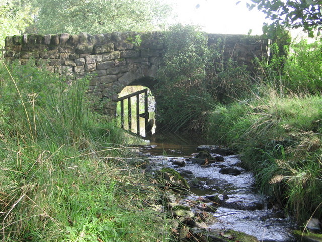
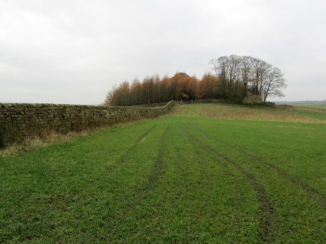
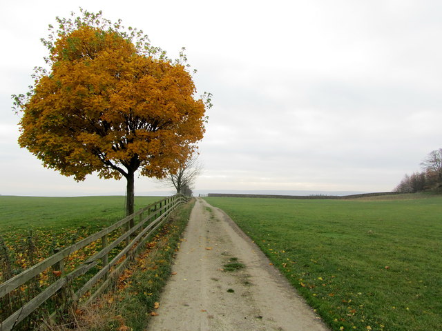
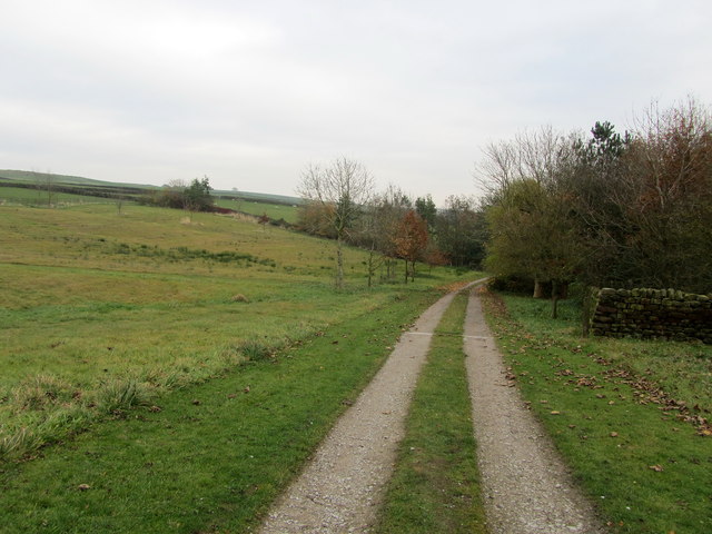
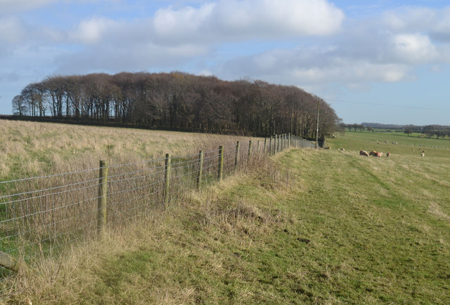
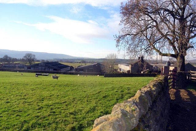
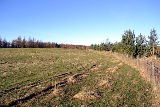
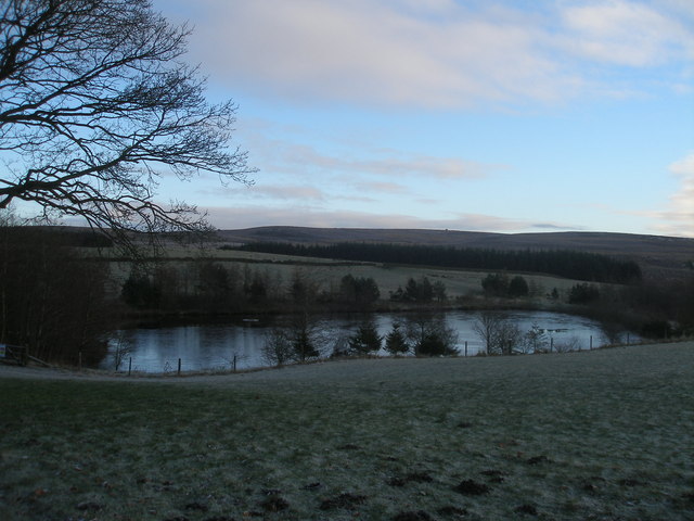
Hundwith Gill is a picturesque valley located in the Yorkshire Dales, England. Nestled amidst rolling hills and rugged landscapes, it is known for its natural beauty and tranquil atmosphere. The gill, or ravine, is carved out by the Hundwith Beck, a small river that flows through the valley, creating a scenic centerpiece.
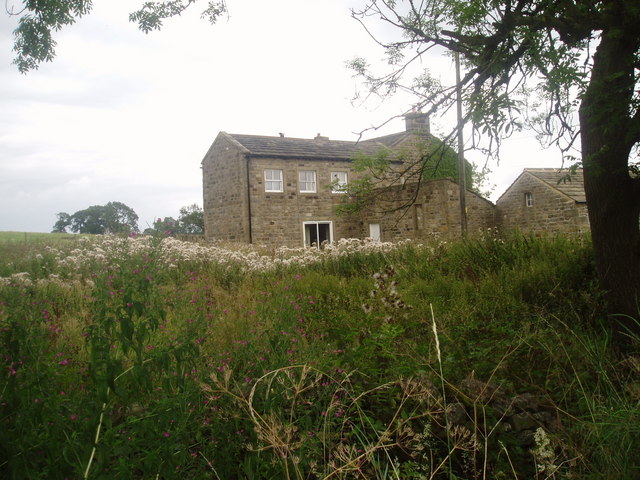
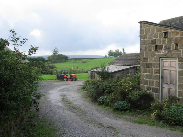
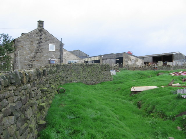
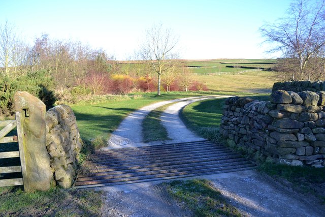
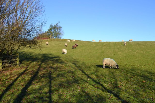
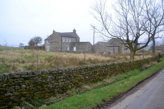
The valley is characterized by its lush green meadows, dotted with charming stone cottages and ancient dry stone walls. It is home to a diverse range of flora and fauna, making it a haven for nature enthusiasts and wildlife lovers. Visitors can spot various bird species, including peregrine falcons and red kites, as well as rare wildflowers such as orchids and bluebells.
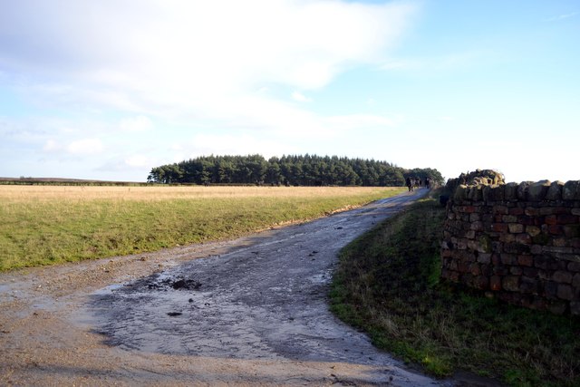
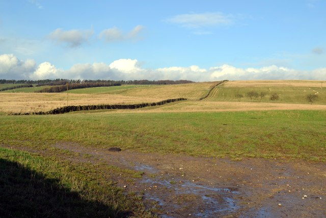
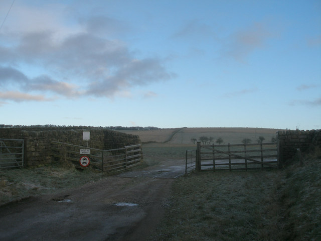
Hundwith Gill offers ample opportunities for outdoor activities such as hiking, cycling, and horse riding. The valley is crisscrossed by a network of well-maintained footpaths, allowing visitors to explore its beauty at their own pace. The surrounding hills provide stunning panoramic views, making it a popular spot for photography and landscape painting.
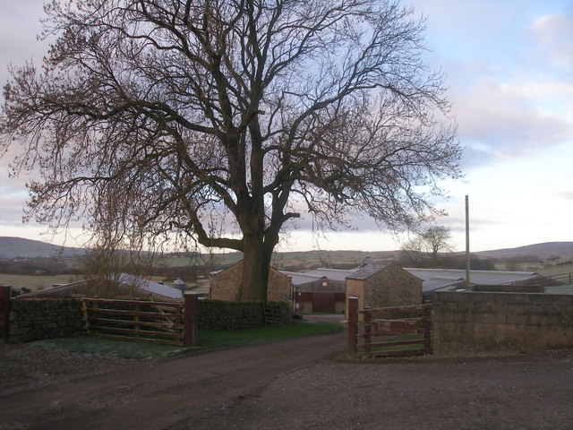
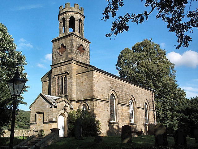
The valley is also steeped in history, with several ancient archaeological sites scattered throughout the area. From Neolithic stone circles to medieval ruins, Hundwith Gill offers a glimpse into Yorkshire's rich past. The nearby village of Pateley Bridge, just a short drive away, provides amenities and services for visitors, including quaint tea rooms, traditional pubs, and a museum.
Overall, Hundwith Gill is a hidden gem in the Yorkshire Dales, offering visitors a chance to escape the hustle and bustle of city life and immerse themselves in the beauty of nature.
If you have any feedback on the listing, please let us know in the comments section below.
Hundwith Gill Images
Images are sourced within 2km of 53.935049/-1.766602 or Grid Reference SE1548. Thanks to Geograph Open Source API. All images are credited.
Hundwith Gill is located at Grid Ref: SE1548 (Lat: 53.935049, Lng: -1.766602)
Division: West Riding
Administrative County: North Yorkshire
District: Harrogate
Police Authority: North Yorkshire
What 3 Words
///declining.synthetic.stability. Near Burley in Wharfedale, West Yorkshire
Nearby Locations
Related Wikis

Denton Hall, Wharfedale
Denton Hall is an English country house located to the north of the River Wharfe, at Denton, Borough of Harrogate, North Yorkshire, England between Otley...
Church of St Helen, Denton
The Church of St Helen, Denton is a parish church in the hamlet of Denton, near Otley, in North Yorkshire, England. The church was built in 1776 by the...

Denton, North Yorkshire
Denton is a hamlet and civil parish in the Harrogate district of North Yorkshire, England. At the 2011 Census the population of this civil parish was less...

Ilkley Town A.F.C.
Ilkley Town Association Football Club is a football club based in Ilkley, England. They are currently members of the North West Counties League Division...

Askwith
Askwith is a village and civil parish in North Yorkshire, England, with a population of 220 (2001 census), increasing to 240 at the 2011 Census. The village...
Yorkshire Heritage Way
The Yorkshire Heritage Way is a 42-mile (68 km) footpath in northern England. It links the contrasting cities of Bradford in West Yorkshire and Ripon in...

Ben Rhydding railway station
Ben Rhydding railway station serves the Ben Rhydding area of Ilkley, West Yorkshire; it is situated about a mile east of the town centre. It is on the...

Ben Rhydding
Ben Rhydding is a village in the City of Bradford, West Yorkshire, England. It is part of the Ilkley urban area and civil parish. The village is situated...
Nearby Amenities
Located within 500m of 53.935049,-1.766602Have you been to Hundwith Gill?
Leave your review of Hundwith Gill below (or comments, questions and feedback).