Blaeberry Cleugh

Valley in Durham

England

Blaeberry Cleugh

Curved walls on west side of Westernhope Burn There are two wall sections across the stream, one completely ruinous. OS mapping at 1:25 000 names these curved walls as sheepfolds but surely they're not; a sheepfold would have a means of sealing an entrance so as to confine animals when required; that would be impossible here. A more likely explanation is that the features are/were sheep shelters so that beasts could keep out of the worst of poor weather.
Curved walls on west side of Westernhope Burn Credit: Trevor Littlewood

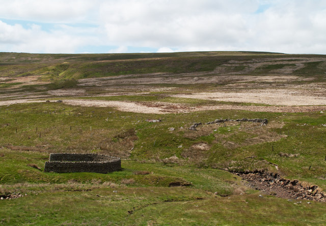
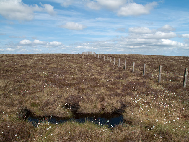
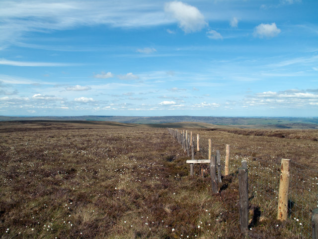
Blaeberry Cleugh, located in Durham Valley, is a picturesque and serene area nestled amidst the rolling hills of northeastern England. With its stunning natural beauty, the cleugh attracts visitors from far and wide seeking a peaceful retreat from the bustling city life.

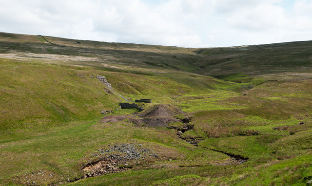
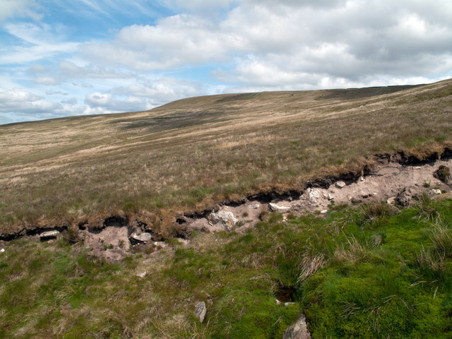
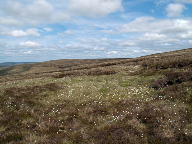
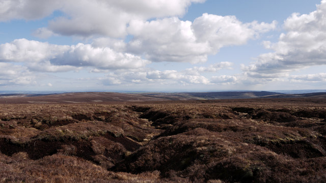
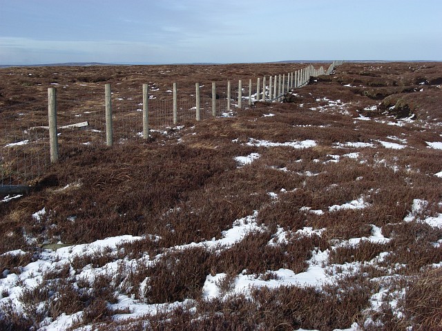
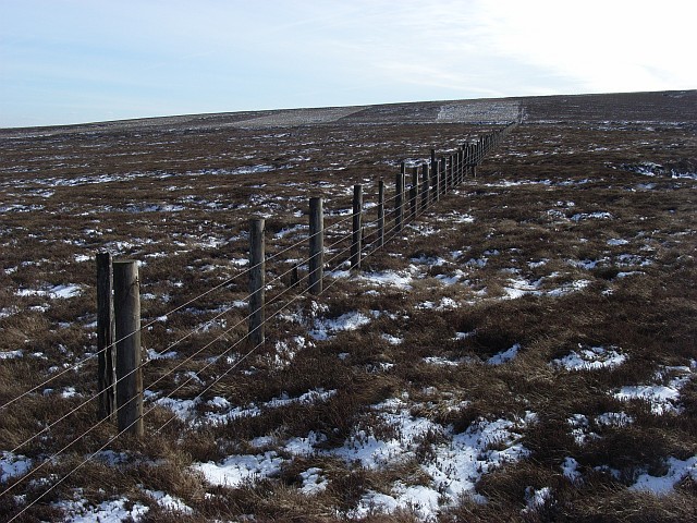
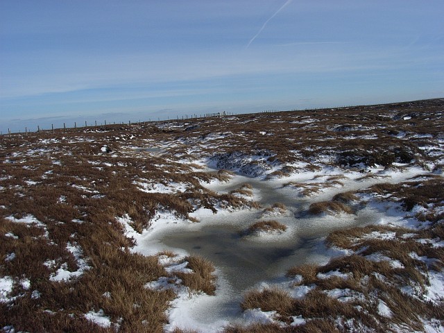
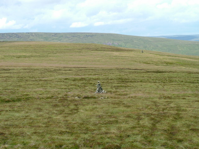
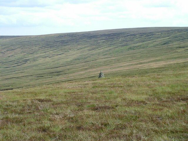
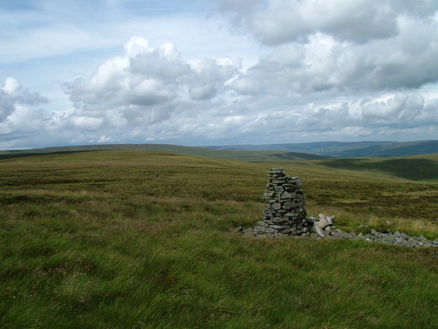
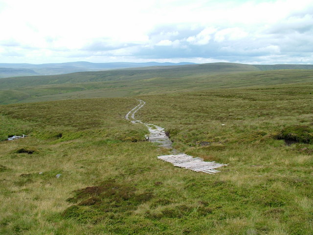
Surrounded by lush greenery and dotted with vibrant wildflowers, Blaeberry Cleugh offers breathtaking views of the surrounding countryside. The cleugh, or valley, is carved by the meandering Blaeberry River, which adds to the charm of the area. The river's crystal-clear waters flow gently through the valley, creating a soothing ambiance that is perfect for relaxation and contemplation.

The wildlife in Blaeberry Cleugh is diverse and abundant. Visitors can often spot a variety of bird species, including kingfishers and herons, as well as small mammals like rabbits and squirrels. The flora is equally impressive, with an array of native plant species, such as bluebells and heather, adding bursts of color to the landscape.

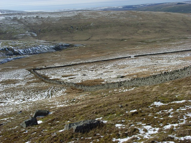
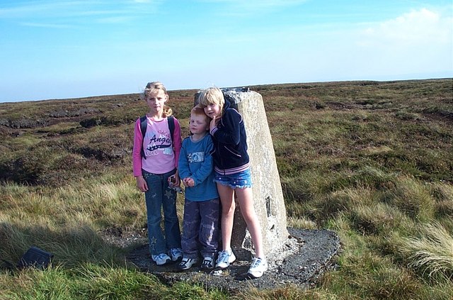
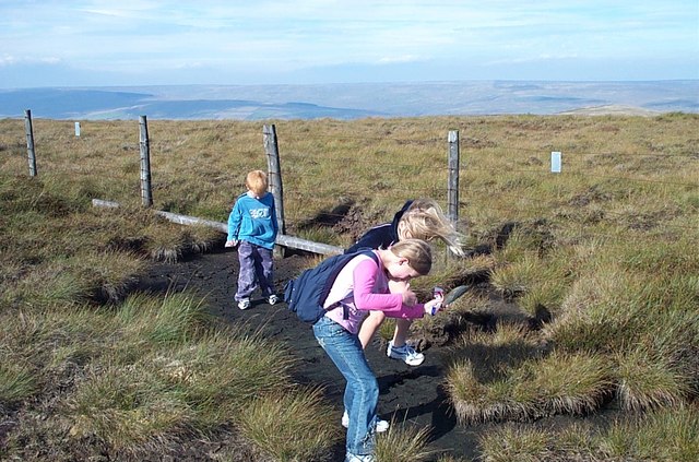
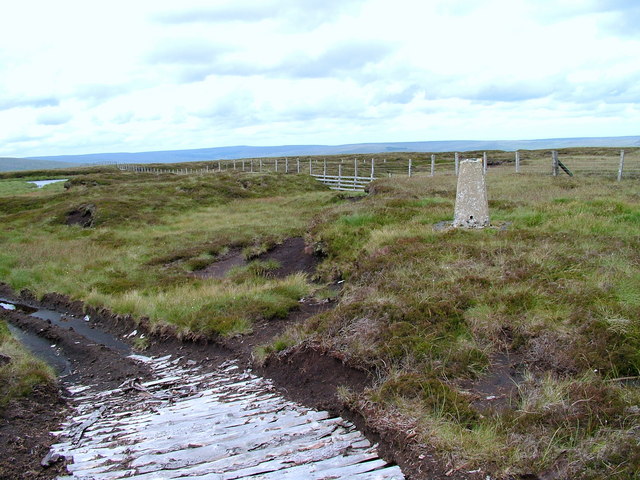
For those looking to explore the area further, there are several walking trails that wind through Blaeberry Cleugh and its surrounding hills. These trails offer opportunities for hikers of all levels to immerse themselves in nature and discover hidden gems along the way.

In addition to its natural beauty, Blaeberry Cleugh is also known for its rich history. The area has been inhabited for centuries, and remnants of ancient settlements can still be found scattered across the valley. History enthusiasts can explore these archaeological sites and learn about the people who once called this area home.

Overall, Blaeberry Cleugh in Durham Valley is a haven for nature lovers, offering breathtaking scenery, diverse wildlife, and a glimpse into the region's fascinating history. It is a place where visitors can escape the chaos of everyday life and immerse themselves in the tranquility of the English countryside.

If you have any feedback on the listing, please let us know in the comments section below.

Blaeberry Cleugh Images

Images are sourced within 2km of 54.694737/-2.1139076 or Grid Reference NY9233. Thanks to Geograph Open Source API. All images are credited.

Curved walls on west side of Westernhope Burn There are two wall sections across the stream, one completely ruinous. OS mapping at 1:25 000 names these curved walls as sheepfolds but surely they're not; a sheepfold would have a means of sealing an entrance so as to confine animals when required; that would be impossible here. A more likely explanation is that the features are/were sheep shelters so that beasts could keep out of the worst of poor weather.
Curved walls on west side of Westernhope Burn
There are two wall sections across the stream, one completely ruinous. OS mapping at 1:25 000 names these curved walls as sheepfolds but surely they're not; a sheepfold would have a means of sealing an entrance so as to confine animals when required; that would be impossible here. A more likely explanation is that the features are/were sheep shelters so that beasts could keep out of the worst of poor weather.
Mine site beside Ash Cleugh Ash Cleugh is a side valley of Western Hope and continues beyond the mine remains with Blaeberry Cleugh joining from the right just below the spoil heap; the mine site is one of many within the Western Hope catchment.
Mine site beside Ash Cleugh
Ash Cleugh is a side valley of Western Hope and continues beyond the mine remains with Blaeberry Cleugh joining from the right just below the spoil heap; the mine site is one of many within the Western Hope catchment.
Slopes rising to Snowhope Hill Mainly grassy slopes rise to Snowhope Hill, the name given to the crest of the ground above. The foreground is occupied by mosses at the side of a minor stream draining to Western Hope but unmarked on OS maps even at the 1:25 000 scale.
Slopes rising to Snowhope Hill
Mainly grassy slopes rise to Snowhope Hill, the name given to the crest of the ground above. The foreground is occupied by mosses at the side of a minor stream draining to Western Hope but unmarked on OS maps even at the 1:25 000 scale.
Moorland on north-west slope of Outberry Plain The density of heather on the north-eastern moorland slope of Outberry Plain increases with height but here, at around 600m cotton grass is the more eye-catching vegetation. Snowhope Hill is the flat top on the centre horizon.
(Note: Cotton grasses, despite the name are not grasses but sedges and to add to the complication there's not just the one species.)
Moorland on north-west slope of Outberry Plain
The density of heather on the north-eastern moorland slope of Outberry Plain increases with height but here, at around 600m cotton grass is the more eye-catching vegetation. Snowhope Hill is the flat top on the centre horizon. (Note: Cotton grasses, despite the name are not grasses but sedges and to add to the complication there's not just the one species.)
Fence rising over moorland rising to Outberry Plain The fence here follows the watershed between Weardale and Teesdale; the summit of the vague rise ahead, Outberry Plain, is very hard to identify.
Fence rising over moorland rising to Outberry Plain
The fence here follows the watershed between Weardale and Teesdale; the summit of the vague rise ahead, Outberry Plain, is very hard to identify.
Moorland ridge north-east of Outberry Plain The ridge running from Outberry Plain northwards into Weardale is a broad, heathery affair; Snowhope Hill lies to the left side of this image, no hill in its own right but just the point at which the ridge begins to decline.
Moorland ridge north-east of Outberry Plain
The ridge running from Outberry Plain northwards into Weardale is a broad, heathery affair; Snowhope Hill lies to the left side of this image, no hill in its own right but just the point at which the ridge begins to decline.
Stream grooves at Great Eggleshope Head The desolate upper reaches of Great Eggleshope close to Outberry Plain.
The heather covered hill in the distance and to the left is Harnisha Hill.
Stream grooves at Great Eggleshope Head
The desolate upper reaches of Great Eggleshope close to Outberry Plain. The heather covered hill in the distance and to the left is Harnisha Hill.
Outberry Hill Looking down the steepest bit of the hillside into Ash Cleugh and Western Hope.
Outberry Hill
Looking down the steepest bit of the hillside into Ash Cleugh and Western Hope.
Snowhope Hill A new fence not marked on the map heading northwards along the ridge from Snowhope Hill.
Snowhope Hill
A new fence not marked on the map heading northwards along the ridge from Snowhope Hill.
Snowhope Hill to Outberry Plain Bands of burnt and unburnt heather on the upslope are highlighted by the snow.
Snowhope Hill to Outberry Plain
Bands of burnt and unburnt heather on the upslope are highlighted by the snow.
Snowhope Hill Boggy moorland not frozen solidly enough to ease progress.
Snowhope Hill
Boggy moorland not frozen solidly enough to ease progress.
Trig Point on Westernhope Moor The trig point on Westernhope Moor (675 m) surrounded by a sea of heather.
Trig Point on Westernhope Moor
The trig point on Westernhope Moor (675 m) surrounded by a sea of heather.
Bouncing on peat, Westernhope Moor After a dry summer is peat is quite springy and great fun for children.  On the ridge leading to Westernhope Moor with Weardale in background.
Bouncing on peat, Westernhope Moor
After a dry summer is peat is quite springy and great fun for children. On the ridge leading to Westernhope Moor with Weardale in background.
Middle of 3 Curricks on Westernhope Moor
Currick on Westernhope Moor
Currick  on Westernhope Moor
Currick on Westernhope Moor
Path on Westernhope Moor
Westernhope Moor
Westernhope Moor
Show me another place!

Blaeberry Cleugh is located at Grid Ref: NY9233 (Lat: 54.694737, Lng: -2.1139076)

Unitary Authority: County Durham

Police Authority: Durham

What 3 Words

///device.facelift.salmon. Near Newbiggin, Co. Durham

Related Wikis

Fairy Holes Cave

Fairy Holes Cave is a Site of Special Scientific Interest in the Wear Valley district of west County Durham, England. It is located on the western flanks...

Westernhope Burn Wood

Westernhope Burn Wood is a Site of Special Scientific Interest in the Wear Valley district of south-west County Durham, England. It occupies the steeply...

Teesdale Allotments

Teesdale Allotments is a Site of Special Scientific Interest in the Teesdale district of County Durham, England. It consists of two large upland areas...

Brotherlee

Brotherlee is a small village in the civil parish of Stanhope, in County Durham, England situated on the south side of Weardale, between Stanhope and Daddry...

Westgate, County Durham

Westgate is a village in the civil parish of Stanhope, in County Durham, England. It is situated in Weardale between St John's Chapel and Eastgate. In...

North Pennines

The North Pennines is the northernmost section of the Pennine range of hills which runs north–south through northern England. It lies between Carlisle...

A689 road

The A689 is a road in northern England that runs east from the A595, 3.1 miles (5.0 km) to the west of Carlisle in Cumbria, to Hartlepool in County Durham...

Westgate-in-Weardale railway station

Westgate-in-Weardale railway station served the village of Westgate, County Durham, England, from 1895 to 1965 on the Weardale Railway. == History == The...

Have you been to Blaeberry Cleugh?

Leave your review of Blaeberry Cleugh below (or comments, questions and feedback).