The Gorge

Valley in Staffordshire

England

The Gorge

Postbox Scene The view by Ettingshall Park Post Office on Dovedale Road, Wolverhampton.
Postbox Scene Credit: Gordon Griffiths

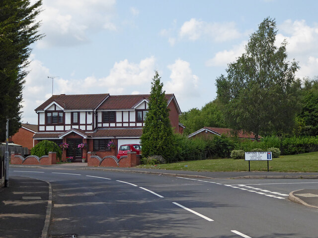
The Gorge is a picturesque valley located in Staffordshire, England. It stretches for about five miles and is renowned for its outstanding natural beauty, making it a popular tourist destination. The valley was carved out by the River Severn over millions of years, resulting in steep cliffs and densely forested slopes.

The Gorge is home to several charming villages, including Ironbridge, Coalbrookdale, and Coalport. These villages showcase the region's rich industrial history and are dotted with historic buildings and landmarks. In fact, the area is often referred to as the birthplace of the Industrial Revolution, as it was here that the world's first iron bridge was constructed in 1779, giving the village of Ironbridge its name.

Visitors to The Gorge can explore various attractions and museums that offer insights into the area's industrial past. The Ironbridge Gorge Museum is particularly popular, displaying a range of artifacts and exhibits related to the Industrial Revolution. Additionally, the Blists Hill Victorian Town provides an immersive experience of life in the 19th century, complete with costumed actors and working shops.

Nature enthusiasts are also drawn to The Gorge for its stunning landscapes and wildlife. The surrounding hills and woodlands offer numerous walking trails and scenic viewpoints, providing ample opportunities for outdoor activities such as hiking and birdwatching.

Overall, The Gorge in Staffordshire is a captivating destination that combines history, natural beauty, and cultural attractions, making it a must-visit location for both locals and tourists alike.

If you have any feedback on the listing, please let us know in the comments section below.
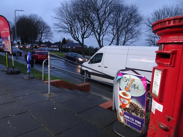
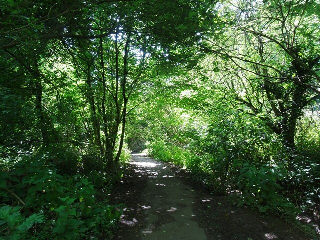
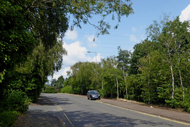
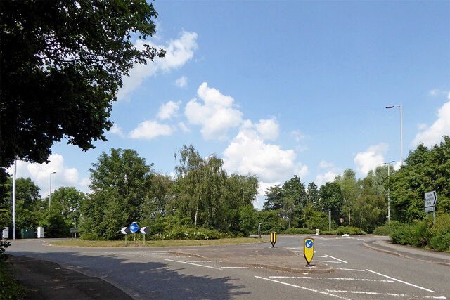
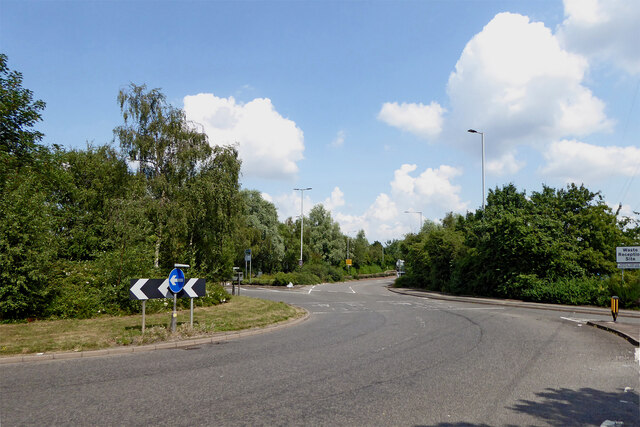
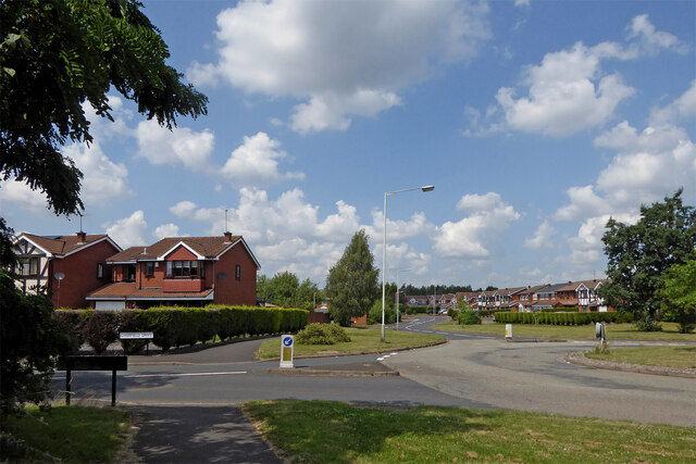
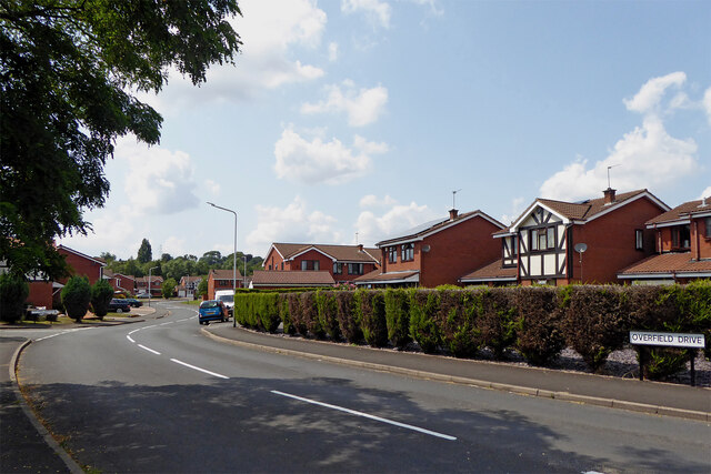
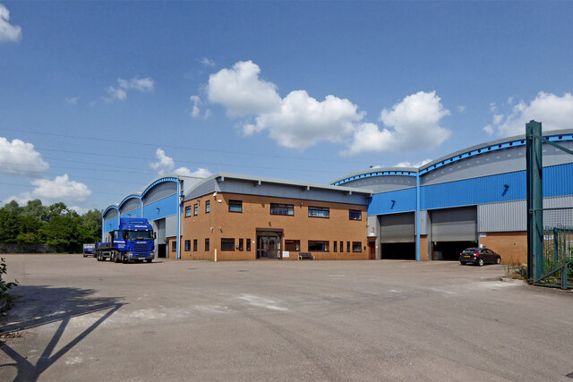
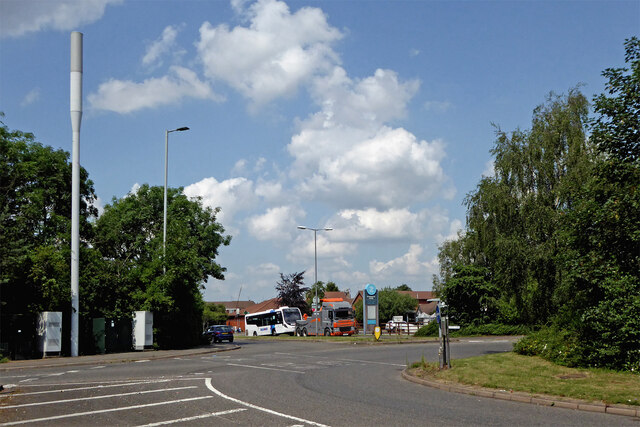
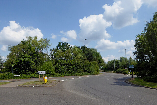
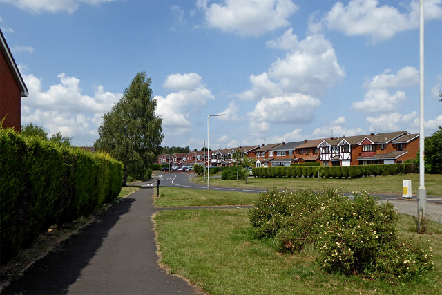
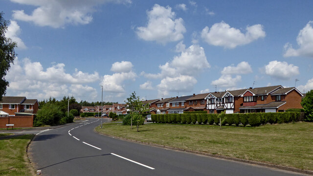
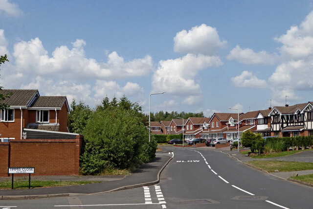
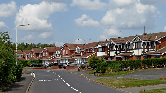
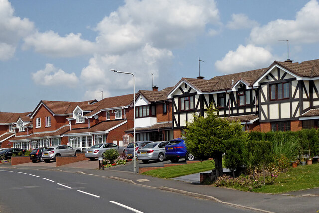
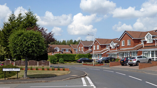
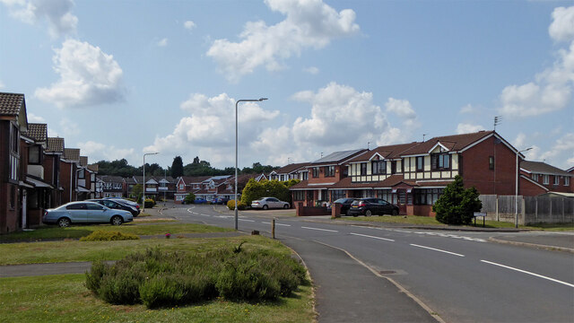
The Gorge Images

Images are sourced within 2km of 52.545422/-2.1083248 or Grid Reference SO9294. Thanks to Geograph Open Source API. All images are credited.

Postbox Scene The view by Ettingshall Park Post Office on Dovedale Road, Wolverhampton.
Postbox Scene
The view by Ettingshall Park Post Office on Dovedale Road, Wolverhampton.
Park Path The view of the footpath in Sedgley Hall Farm Park, Dudley.
Park Path
The view of the footpath in Sedgley Hall Farm Park, Dudley.
Anchor Lane near Deepfields, Dudley Looking north, this link road provides access between Anchor Lane and the A463 Black Country Route.
Anchor Lane near Deepfields, Dudley
Looking north, this link road provides access between Anchor Lane and the A463 Black Country Route.
Black Country Route roundabout near Spring Vale Looking north from the Anchor Lane link road, this is near the western end of the A463 Black Country A463 Black Country Route.
Black Country Route roundabout near Spring Vale
Looking north from the Anchor Lane link road, this is near the western end of the A463 Black Country A463 Black Country Route.
Black Country Route near Spring Vale, Wolverhampton Black Country Route, A463.
This is at the Anchor Lane junction, looking north-east towards Bilston, Walsall and the M6
Black Country Route near Spring Vale, Wolverhampton
Black Country Route, A463. This is at the Anchor Lane junction, looking north-east towards Bilston, Walsall and the M6
Sedgemoor Park. in Wolverhampton The Sedgemoor Park housing estate was built on the site of the form Spring Vale Colliery.
Looking ahead (north-north-west) is Overfield Drive. Off to the left is Overfield Dive too, because it goes round in a circle!
Sedgemoor Park. in Wolverhampton
The Sedgemoor Park housing estate was built on the site of the form Spring Vale Colliery. Looking ahead (north-north-west) is Overfield Drive. Off to the left is Overfield Dive too, because it goes round in a circle!
Overfield Drive in Sedgemoor Park, Wolverhampton Looking west-south-west along Overfield Drive, which goes round in a wide circle, ending up behind the camera! This private estate is attractively spacious, though "Overfield" is a romantic concept. The estate was built on the former Spring Vale Colliery ... ah! I see ... coalfield! ;-)
Overfield Drive in Sedgemoor Park, Wolverhampton
Looking west-south-west along Overfield Drive, which goes round in a wide circle, ending up behind the camera! This private estate is attractively spacious, though "Overfield" is a romantic concept. The estate was built on the former Spring Vale Colliery ... ah! I see ... coalfield! ;-)
Barnshaws works and warehouse near Spring Vale, Wolverhampton In Anchor Lane, Barnshaws is a bending service company.  All types of metal bending services are offered, including plate bending, steel curving, pipe and tube bending. One recent product suppiled by Barnshaws is the curved retractable roof of Wimbledon's Court No 1.
What an incredibly neat yard!
Barnshaws works and warehouse near Spring Vale, Wolverhampton
In Anchor Lane, Barnshaws is a bending service company. All types of metal bending services are offered, including plate bending, steel curving, pipe and tube bending. One recent product suppiled by Barnshaws is the curved retractable roof of Wimbledon's Court No 1. What an incredibly neat yard!
Black Country Route near Spring Vale, Wolverhampton Black Country Route, A463.
This is at the Anchor Lane junction, looking north towards Overfield Drive and Sedgemoor Park.
The local bus has broken down!
Black Country Route near Spring Vale, Wolverhampton
Black Country Route, A463. This is at the Anchor Lane junction, looking north towards Overfield Drive and Sedgemoor Park. The local bus has broken down!
Black Country Route near Spring Vale, Wolverhampton Black Country Route, A463.
This is at the Overfield Road junction, looking north-east towards Bilston, Walsall and the M6.
Black Country Route near Spring Vale, Wolverhampton
Black Country Route, A463. This is at the Overfield Road junction, looking north-east towards Bilston, Walsall and the M6.
Overfield Drive in Sedgemoor Park, Wolverhampton This is at the Overfield Drive roundabout, looking north. Capponfield Close is off to the right.
Overfield Drive in Sedgemoor Park, Wolverhampton
This is at the Overfield Drive roundabout, looking north. Capponfield Close is off to the right.
Overfield Drive in Sedgemoor Park, Wolverhampton Looking north. Overfield Drive is a circular route, rejoining itself at the roundabout junction behind the camera. The estate has been built on the site of the former Spring Vale colliery.
Overfield Drive in Sedgemoor Park, Wolverhampton
Looking north. Overfield Drive is a circular route, rejoining itself at the roundabout junction behind the camera. The estate has been built on the site of the former Spring Vale colliery.
Overfield Drive in Sedgemoor Park, Wolverhampton Looking north by Timmis Close (cul-de-sac). Overfield Drive is a circular route (anticlockwise in this direction), rejoining itself at the roundabout junction behind the camera. The estate has been built on the site of the former Spring Vale colliery.
Overfield Drive in Sedgemoor Park, Wolverhampton
Looking north by Timmis Close (cul-de-sac). Overfield Drive is a circular route (anticlockwise in this direction), rejoining itself at the roundabout junction behind the camera. The estate has been built on the site of the former Spring Vale colliery.
Overfield Drive in Sedgemoor Park, Wolverhampton Approaching the junction with Porthouse Grove (cul-de-sac off to the left).
Overfield Drive is a circular route, rejoining itself at the roundabout junction behind the camera. The estate has been built on the site of the former Spring Vale colliery.
Overfield Drive in Sedgemoor Park, Wolverhampton
Approaching the junction with Porthouse Grove (cul-de-sac off to the left). Overfield Drive is a circular route, rejoining itself at the roundabout junction behind the camera. The estate has been built on the site of the former Spring Vale colliery.
Housing in Overfield Drive, Wolverhampton The estate has been built on the site of the former Spring Vale colliery.
Housing in Overfield Drive, Wolverhampton
The estate has been built on the site of the former Spring Vale colliery.
Housing in Overfield Drive, Wolverhampton Looking north at the junction with Porthouse Grove (cul-de-sac off to the left).
Overfield Drive is a circular route, rejoining itself at the roundabout junction behind the camera. The estate has been built on the site of the former Spring Vale colliery.
Housing in Overfield Drive, Wolverhampton
Looking north at the junction with Porthouse Grove (cul-de-sac off to the left). Overfield Drive is a circular route, rejoining itself at the roundabout junction behind the camera. The estate has been built on the site of the former Spring Vale colliery.
Overfield Drive in Sedgemoor Park, Wolverhampton Overfield Drive is a circular route (anticlockwise in this direction). The estate has been built on the site of the former Spring Vale colliery. Turtons Croft is a cul-de-sac, but a footpath does lead across the Birmingham Canal Navigations Main Line between Wolverhampton and Birmingham.
Overfield Drive in Sedgemoor Park, Wolverhampton
Overfield Drive is a circular route (anticlockwise in this direction). The estate has been built on the site of the former Spring Vale colliery. Turtons Croft is a cul-de-sac, but a footpath does lead across the Birmingham Canal Navigations Main Line between Wolverhampton and Birmingham.
Overfield Drive in Sedgemoor Park, Wolverhampton Looking west by Turton's Croft and Sheaves Close (cul-de-sacs off to the right). Overfield Drive is a circular route (anticlockwise in this direction). The estate has been built on the site of the former Spring Vale colliery.
Overfield Drive in Sedgemoor Park, Wolverhampton
Looking west by Turton's Croft and Sheaves Close (cul-de-sacs off to the right). Overfield Drive is a circular route (anticlockwise in this direction). The estate has been built on the site of the former Spring Vale colliery.
Show me another place!

The Gorge is located at Grid Ref: SO9294 (Lat: 52.545422, Lng: -2.1083248)

Unitary Authority: Wolverhampton

Police Authority: West Midlands

What 3 Words

///upset.magic.busy. Near Tipton, West Midlands

Related Wikis

Coseley Urban District

Coseley Urban District was a local government district in Staffordshire which was created in 1894.It was made up of the villages of Brierley (now Bradley...

Sarah Hughes Brewery

Sarah Hughes Brewery in Sedgley, in the Black Country of England, dates from the Victorian era. It was bought by Sarah Hughes in 1921 and brewed until...

Beacon Hill, Sedgley

Beacon Hill in Sedgley, England, is one of the highest points in the West Midlands, at 237 metres (778 ft) above sea level. From the summit, Wolverhampton...

Woodcross

Woodcross is a residential area of Coseley, West Midlands, England. It is set within the City of Wolverhampton, though the area traditionally existed within...

Spring Vale

Spring Vale is a ward of Wolverhampton City Council, West Midlands, England. It is situated SSE of the city centre, on the city's border with the Metropolitan...

Sedgley Urban District

Sedgley urban district was a local government district within Staffordshire, which was created in 1894 from the western half of the manor of Sedgley (the...

Sedgley

Sedgley is a town in the north of the Metropolitan Borough of Dudley, in the West Midlands, England.Historically part of Staffordshire, Sedgley is on the...

The Coseley School

The Coseley School was a mixed secondary school located in Coseley, West Midlands, England.The school closed in July 2017, in a phased closure, when the...

Related Videos

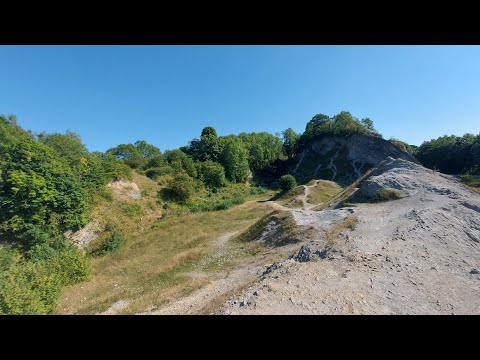
Wrens Nest| walk about and chill

hey everyone, this is a little different to my normal videos but seeing as my last one did really well, I thought I'd upload another ...

Walking The Birmingham Mainline Canal (Part 3)

Continuing with my walk along the towpath of the Birmingham Main Line Canal. Starting where I finished in part 2, at Deepfields ...

Cotwall End LNR 1

random footage please note due to the age of these leaflets and videos some of the information above maybe out of date.

some lovely views on my walk

walking on the wrens nest and looking at some of the views #dudley #wrensnest #nature #walk.

Nearby Amenities

Located within 500m of 52.545422,-2.1083248
Traffic Signals
Source: bing
Lat/Long: 52.5457617/-2.1053335
Post Box
Operator: Royal Mail
Operator Wikidata: Q638098
Lat/Long: 52.5494115/-2.1106734
Bus Stop
Woodcross St / Bellevue St
NaPTANAreaCode: 43000727702
Bus: yes
Naptan AtcoCode: 43000727702
Naptan Bearing: SW
Naptan BusStopType: MKD
Naptan CommonName: Bellevue St
Naptan Indicator: adj
Naptan Landmark: Bellevue Court Nursing Home
Naptan NaptanCode: nwmjgpdm
Naptan PlusbusZoneRef: BHAMNWS
Naptan Status: ACT
Naptan StopType: BCT
Naptan Street: WOODCROSS ST
Naptan Towards: Coseley
Naptan Verified: no
Public Transport: platform
Route Ref: 81;223
Shelter: yes
Shelter Ref: 104222
Source: WMCA
Lat/Long: 52.5496978/-2.1063319
Bus Stop
Woodcross St / Wathan Avenue
Bus: yes
Naptan AtcoCode: 43000727801
Naptan Bearing: NE
Naptan BusStopType: MKD
Naptan CommonName: Wathan Avenue
Naptan Indicator: opp
Naptan NaptanCode: nwmjgpdp
Naptan PlusbusZoneRef: BHAMNWS
Naptan Status: ACT
Naptan StopType: BCT
Naptan Street: WOODCROSS ST
Naptan Towards: Wolverhampton
Naptan Verified: no
Public Transport: platform
Route Ref: 81;223
Source: WMCA
Lat/Long: 52.548509/-2.1086591
Bus Stop
Woodcross St / Wathan Avenue
Bus: yes
Naptan AtcoCode: 43000727802
Naptan Bearing: SW
Naptan BusStopType: MKD
Naptan CommonName: Wathan Avenue
Naptan Indicator: adj
Naptan NaptanCode: nwmjgpdt
Naptan PlusbusZoneRef: BHAMNWS
Naptan Status: ACT
Naptan StopType: BCT
Naptan Street: WOODCROSS ST
Naptan Towards: Coseley
Naptan Verified: no
Public Transport: platform
Route Ref: 81;223
Source: WMCA
Lat/Long: 52.5484186/-2.1086441
Bus Stop
Dovedale Rd / Falcon Crescent
Bus: yes
Naptan AtcoCode: 43000727902
Naptan Bearing: SE
Naptan BusStopType: MKD
Naptan CommonName: Falcon Crescent
Naptan Indicator: before
Naptan NaptanCode: nwmtawtg
Naptan PlusbusZoneRef: BHAMNWS
Naptan Status: ACT
Naptan StopType: BCT
Naptan Street: DOVEDALE RD
Naptan Towards: Sedgley
Naptan Verified: no
Public Transport: platform
Route Ref: 223;224
Source: WMCA
Lat/Long: 52.5492176/-2.1104158
Bus Stop
Hall Lane / Robert Wynd
Bus: yes
Naptan AtcoCode: 43000728101
Naptan Bearing: NW
Naptan BusStopType: MKD
Naptan CommonName: Robert Wynd
Naptan Indicator: opp
Naptan NaptanCode: nwmjgpgd
Naptan PlusbusZoneRef: BHAMNWS
Naptan Status: ACT
Naptan StopType: BCT
Naptan Street: HALL LANE
Naptan Towards: Wolverhampton
Naptan Verified: no
Public Transport: platform
Route Ref: 81;224
Source: WMCA
Lat/Long: 52.5472508/-2.1082873
Bus Stop
Hall Lane / Robert Wynd
NaPTANAreaCode: 43000728102
Bus: yes
Naptan AtcoCode: 43000728102
Naptan Bearing: SE
Naptan BusStopType: MKD
Naptan CommonName: Robert Wynd
Naptan Indicator: after
Naptan NaptanCode: nwmtwmtw
Naptan PlusbusZoneRef: BHAMNWS
Naptan Status: ACT
Naptan StopType: BCT
Naptan Street: HALL LANE
Naptan Towards: Coseley
Naptan Verified: no
Public Transport: platform
Route Ref: 81;223;224
Shelter: yes
Shelter Ref: 104223
Source: WMCA
Lat/Long: 52.5470445/-2.1076822
Bus Stop
Gorge Rd / Hall Lane
NaPTANAreaCode: 43000728201
Asset Ref: 404221
Bus: yes
Naptan AtcoCode: 43000728201
Naptan Bearing: SW
Naptan BusStopType: MKD
Naptan CommonName: Hall Lane
Naptan Indicator: opp
Naptan NaptanCode: nwmtawtj
Naptan PlusbusZoneRef: BHAMNWS
Naptan Status: ACT
Naptan StopType: BCT
Naptan Street: GORGE RD
Naptan Towards: Sedgley
Public Transport: platform
Route Ref: 223;224;229
Shelter: yes
Shelter Ref: 404221
Source: WMCA
Towards: Sedgley
Lat/Long: 52.5455483/-2.1058003
Bus Stop
Roberts Wynd / Hall Lane
Bus: yes
Naptan AtcoCode: 43007281001
Naptan Bearing: NE
Naptan BusStopType: MKD
Naptan CommonName: Hall Lane
Naptan Indicator: after
Naptan Landmark: The Horse and Jockey
Naptan NaptanCode: nwmtwtpd
Naptan PlusbusZoneRef: BHAMNWS
Naptan Status: ACT
Naptan StopType: BCT
Naptan Street: ROBERTS WYND
Naptan Towards: Bilston
Naptan Verified: no
Public Transport: platform
Route Ref: 223
Source: WMCA
Lat/Long: 52.5474038/-2.1080222
Bus Stop
Hurst Rd / Hall La
NaPTANAreaCode: 43007282501
Asset Ref: 104206
Bus: yes
Naptan AtcoCode: 43007282501
Naptan Bearing: E
Naptan BusStopType: MKD
Naptan CommonName: Hall La
Naptan Indicator: adj
Naptan Landmark: Adj Post Office
Naptan NaptanCode: nwmtpmdg
Naptan PlusbusZoneRef: BHAMNWS
Naptan Status: ACT
Naptan StopType: BCT
Naptan Street: HURST RD
Naptan Towards: Bilston
Public Transport: platform
Route Ref: 229
Shelter: yes
Shelter Ref: 104206
Source: WMCA
Towards: Bilston
Lat/Long: 52.5460647/-2.1040765
Bus Stop
Hall Lane / Clifton St
Bus: yes
Naptan AtcoCode: 43007752503
Naptan Bearing: SE
Naptan BusStopType: MKD
Naptan CommonName: Clifton St
Naptan Indicator: before
Naptan NaptanCode: nwmpmjda
Naptan PlusbusZoneRef: BHAMNWS
Naptan Status: ACT
Naptan StopType: BCT
Naptan Street: HALL LANE
Naptan Towards: Coseley
Naptan Verified: no
Public Transport: platform
Route Ref: 81;223;224
Source: WMCA
Lat/Long: 52.5460391/-2.1061018
Bus Stop
Hall Lane / Clifton St
Bus: yes
Naptan AtcoCode: 43007752504
Naptan Bearing: NW
Naptan BusStopType: MKD
Naptan CommonName: Clifton St
Naptan Indicator: after
Naptan NaptanCode: nwmtwgjw
Naptan PlusbusZoneRef: BHAMNWS
Naptan Status: ACT
Naptan StopType: BCT
Naptan Street: HALL LANE
Naptan Towards: Wolverhampton
Naptan Verified: no
Public Transport: platform
Route Ref: 81;223;224
Source: WMCA
Lat/Long: 52.5460574/-2.1062621
Bus Stop
Mount Rd / Dovedale Rd
Bus: yes
Naptan AtcoCode: 43007753001
Naptan Bearing: NE
Naptan BusStopType: MKD
Naptan CommonName: Dovedale Rd
Naptan Indicator: after
Naptan NaptanCode: nwmpmjdg
Naptan PlusbusZoneRef: BHAMNWS
Naptan Status: ACT
Naptan StopType: BCT
Naptan Street: MOUNT RD
Naptan Towards: Bilston
Naptan Verified: no
Public Transport: platform
Route Ref: 223
Source: WMCA
Lat/Long: 52.54964/-2.1105938
Bus Stop
Gorge Rd / Rowan Rd
Bus: yes
Naptan AtcoCode: 43000852101
Naptan Bearing: E
Naptan BusStopType: MKD
Naptan CommonName: Rowan Rd
Naptan Indicator: adj
Naptan NaptanCode: nwmjwjmj
Naptan PlusbusZoneRef: BHAMNWS
Naptan Status: ACT
Naptan StopType: BCT
Naptan Street: GORGE RD
Naptan Towards: Bilston
Public Transport: platform
Route Ref: 223;224;229
Shelter: no
Source: WMCA
Towards: Bilston
Lat/Long: 52.5438872/-2.1096357
Bus Stop
Gorge Rd / Rowan Rd
NaPTANAreaCode: 43000852102
Asset Ref: 404230
Bus: yes
Naptan AtcoCode: 43000852102
Naptan Bearing: W
Naptan BusStopType: MKD
Naptan CommonName: Rowan Rd
Naptan Indicator: opp
Naptan NaptanCode: nwmjwjmp
Naptan PlusbusZoneRef: BHAMNWS
Naptan Status: ACT
Naptan StopType: BCT
Naptan Street: GORGE RD
Naptan Towards: Sedgley
Public Transport: platform
Route Ref: 223;224;229
Shelter: yes
Shelter Ref: 404230
Source: WMCA
Towards: Sedgley
Lat/Long: 52.5436882/-2.1103604
Bus Stop
Bilston St / Queens Rd
Bus: yes
Naptan AtcoCode: 43000852202
Naptan Bearing: E
Naptan BusStopType: MKD
Naptan CommonName: Queens Rd
Naptan Indicator: opp
Naptan NaptanCode: nwmjwjmw
Naptan PlusbusZoneRef: BHAMNWS
Naptan Status: ACT
Naptan StopType: BCT
Naptan Street: BILSTON ST
Naptan Towards: Bilston
Public Transport: platform
Route Ref: 224;229
Shelter: no
Source: WMCA
Towards: Bilston
Lat/Long: 52.5435119/-2.1146809
Bus Stop
Clifton St / Hurst Rd
NaPTANAreaCode: 43000864101
Asset Ref: 404222
Bus: yes
Naptan AtcoCode: 43000864101
Naptan Bearing: SE
Naptan BusStopType: MKD
Naptan CommonName: Hurst Rd
Naptan Indicator: adj
Naptan NaptanCode: nwmjwtga
Naptan PlusbusZoneRef: BHAMNWS
Naptan Status: ACT
Naptan StopType: BCT
Naptan Street: CLIFTON ST
Naptan Towards: Coseley
Public Transport: platform
Route Ref: 81
Shelter: yes
Shelter Ref: 404222
Source: WMCA
Towards: Merry Hill, Dudley
Lat/Long: 52.54528/-2.1052011
Bus Stop
Clifton St / Hurst Rd
Asset Ref: 404223
Bus: yes
Naptan AtcoCode: 43000864102
Naptan Bearing: NW
Naptan BusStopType: MKD
Naptan CommonName: Hurst Rd
Naptan Indicator: opp
Naptan NaptanCode: nwmjwtgd
Naptan PlusbusZoneRef: BHAMNWS
Naptan Status: ACT
Naptan StopType: BCT
Naptan Street: CLIFTON ST
Naptan Towards: Wolverhampton
Public Transport: platform
Route Ref: 81
Shelter: yes
Source: WMCA
Towards: Wolverhampton
Lat/Long: 52.5453397/-2.1054019
Bus Stop
Clifton St / Rifle St
Bus: yes
Naptan AtcoCode: 43000864201
Naptan Bearing: SE
Naptan BusStopType: MKD
Naptan CommonName: Rifle St
Naptan Indicator: adj
Naptan NaptanCode: nwmjwtgj
Naptan PlusbusZoneRef: BHAMNWS
Naptan Status: ACT
Naptan StopType: BCT
Naptan Street: CLIFTON ST
Naptan Towards: Coseley
Public Transport: platform
Route Ref: 81
Shelter: no
Source: WMCA
Lat/Long: 52.5421758/-2.1032909
JP's
Addr Housename: 124
Addr Street: Bilston Street
Shop: hairdresser
Lat/Long: 52.5434063/-2.1145268
Spar
Brand: Spar
Brand Wikidata: Q610492
Brand Wikipedia: en:SPAR (retailer)
Shop: supermarket
Lat/Long: 52.5434231/-2.114374
Telephone
Booth: KX100
Covered: booth
Lat/Long: 52.5436014/-2.1141975
Fast Food
Blue Ocean
Addr Housenumber: 128
Addr Postcode: DY3 1JF
Addr Street: Bilston Street
Cuisine: fish_and_chips
Fhrs Id: 688827
Source Addr: FHRS Open Data
Lat/Long: 52.5434455/-2.1141723
Bluecore Solutions LTD
Shop: computer
Lat/Long: 52.54343/-2.1142834
Turning Circle
Lat/Long: 52.5448906/-2.1091122
Turning Circle
Lat/Long: 52.5453141/-2.1040292
Turning Circle
Lat/Long: 52.5452807/-2.1042179
Barrier: bollard
Bicycle: yes
Foot: yes
Lat/Long: 52.5452884/-2.1041744
Crossing
Crossing: traffic_signals
Crossing Ref: pelican
Lat/Long: 52.5459549/-2.1044229
Fixme: continue
Lat/Long: 52.5435223/-2.1038164
Barrier: bollard
Bicycle: yes
Foot: yes
Lat/Long: 52.5438348/-2.1030274
Post Box
Note: no collection plate on this box today(01/09/2020).
Operator: Royal Mail
Operator Wikidata: Q638098
Post Box Mounting: brick_pillar
Post Box Type: wall
Ref: DY3 9
Royal Cypher: EIIR
Royal Cypher Wikidata: Q33102113
Source: survey
Lat/Long: 52.5459945/-2.1121469
Shop: convenience
Lat/Long: 52.5461481/-2.1121359
Barrier: cycle_barrier
Lat/Long: 52.54634/-2.1136389
Barrier: bollard
Lat/Long: 52.5463741/-2.1131411
Barrier: cycle_barrier
Lat/Long: 52.5464979/-2.1128266
Barrier: cycle_barrier
Bicycle: yes
Foot: yes
Motor Vehicle: no
Lat/Long: 52.5468912/-2.1149333
Man Made: tower
Tower Type: communication
Lat/Long: 52.5471809/-2.1148888
Power: substation
Lat/Long: 52.5465182/-2.1126089
Grit Bin
Lat/Long: 52.5472301/-2.1120384
Turning Circle
Source: bing
Lat/Long: 52.5490489/-2.1045978
Post Office
Hurst Hill Post Office
Addr Country: GB
Addr Postcode: WV14 9EU
Brand: Post Office
Brand Wikidata: Q1783168
Contact Website: https://www.postoffice.co.uk/branch-finder/1842463/hurst-hill
Ref Pol Id: 5605
Lat/Long: 52.5462368/-2.1042135
Turning Circle
Source: bing
Lat/Long: 52.5483975/-2.1066755
Turning Circle
Source: bing
Lat/Long: 52.5475111/-2.1034314
Turning Circle
Source: bing
Lat/Long: 52.5475651/-2.1022251
Cinder Hill
Place: locality
Source: OS_OpenData_StreetView
Lat/Long: 52.5467231/-2.1089419
Traffic Signals
Source: bing
Lat/Long: 52.5457458/-2.1057327
Speed Camera
Lat/Long: 52.5437367/-2.1097438
Sedgley Beacon
Ele: 235
Natural: peak
Lat/Long: 52.5473439/-2.1144677
Man Made: street_cabinet
Source: survey
Street Cabinet: communications
Lat/Long: 52.5435956/-2.1142316
Man Made: street_cabinet
Source: survey
Street Cabinet: communications
Lat/Long: 52.5436046/-2.1141646
Bus: yes
Public Transport: stop_position
Lat/Long: 52.5473721/-2.1079591
Public Transport: stop_position
Lat/Long: 52.5460917/-2.1062282
Traffic Signals
Source: bing
Lat/Long: 52.5456064/-2.1058037
Traffic Signals
Source: bing
Lat/Long: 52.5455534/-2.1055328
Dovedale Rd / Falcon Crescent
Naptan AtcoCode: 43000727901
Naptan Bearing: NW
Naptan BusStopType: CUS
Naptan CommonName: Falcon Crescent
Naptan Indicator: after
Naptan NaptanCode: nwmtawtd
Naptan Status: ACT
Naptan StopType: BCT
Naptan Street: DOVEDALE RD
Naptan Towards: Bilston
Public Transport: platform
Route Ref: 223;224
Source: WMCA
Lat/Long: 52.5486493/-2.1100876
Barrier: kissing_gate
Bicycle: yes
Foot: yes
Lat/Long: 52.5430031/-2.110114
Generator Method: photovoltaic
Generator Output Electricity: yes
Generator Source: solar
Generator Type: solar_photovoltaic_panel
Location: roof
Power: generator
Lat/Long: 52.5474472/-2.1031657
Generator Method: photovoltaic
Generator Output Electricity: yes
Generator Source: solar
Generator Type: solar_photovoltaic_panel
Location: roof
Power: generator
Lat/Long: 52.5469857/-2.1044076
Generator Method: photovoltaic
Generator Output Electricity: yes
Generator Source: solar
Generator Type: solar_photovoltaic_panel
Location: roof
Power: generator
Lat/Long: 52.5492585/-2.1076235
Generator Method: photovoltaic
Generator Output Electricity: yes
Generator Source: solar
Generator Type: solar_photovoltaic_panel
Location: roof
Power: generator
Lat/Long: 52.5492626/-2.1084148
Generator Method: photovoltaic
Generator Output Electricity: yes
Generator Source: solar
Generator Type: solar_photovoltaic_panel
Location: roof
Power: generator
Lat/Long: 52.5493327/-2.1085355
Generator Method: photovoltaic
Generator Output Electricity: yes
Generator Source: solar
Generator Type: solar_photovoltaic_panel
Location: roof
Power: generator
Lat/Long: 52.5494028/-2.1086749
Generator Method: photovoltaic
Generator Output Electricity: yes
Generator Source: solar
Generator Type: solar_photovoltaic_panel
Location: roof
Power: generator
Lat/Long: 52.5494681/-2.1087903
Tesco Express
Addr Housenumber: 128
Addr Postcode: WV14 9EU
Addr Street: Hurst Road
Brand: Tesco Express
Brand Wikidata: Q98456772
Contact Website: https://www.tesco.com/store-locator/wolverhampton/hurst-rd
Fhrs Id: 622966
Shop: convenience
Lat/Long: 52.5460568/-2.1051001
The data included in this document is from www.openstreetmap.org. The data is made available under ODbL.

Have you been to The Gorge?

Leave your review of The Gorge below (or comments, questions and feedback).