Fooden Gill
Valley in Yorkshire Ribble Valley
England
Fooden Gill
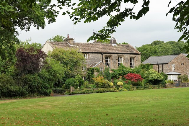
Fooden Gill is a picturesque valley located in the county of Yorkshire, England. Nestled in the stunning Yorkshire Dales National Park, this valley offers breathtaking natural beauty and a tranquil escape from the hustle and bustle of city life.
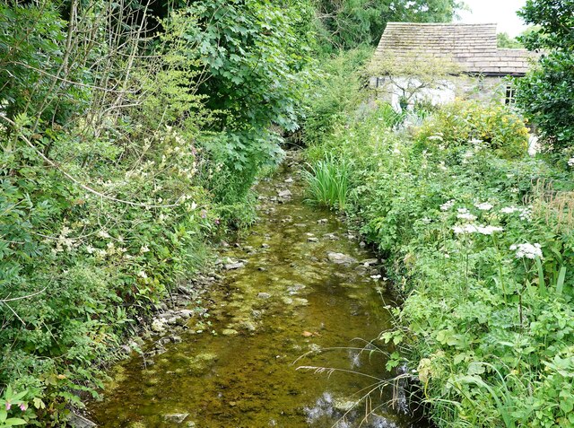
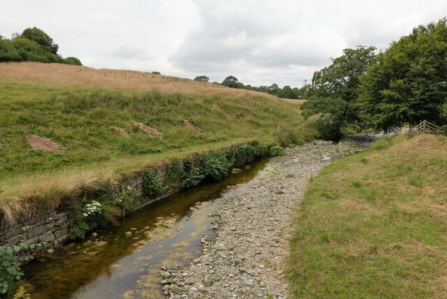
The valley is characterized by steep sides covered in lush greenery, which provide a stunning backdrop for visitors. The gill itself refers to a narrow ravine or gorge, carved out by the Fooden Beck, a small river that meanders through the valley. The river's crystal-clear waters add to the charm of the surroundings, attracting nature enthusiasts and photographers alike.
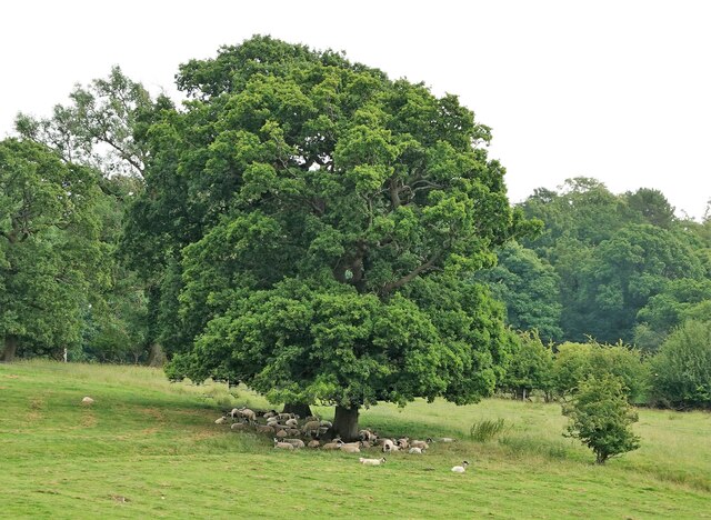
Fooden Gill is also home to a diverse range of flora and fauna, making it a haven for wildlife. Visitors may spot various bird species, including kingfishers and dippers, as well as mammals such as otters and deer. The valley is especially known for its vibrant wildflower displays during the spring and summer months, creating a colorful tapestry that blankets the landscape.
For those who enjoy outdoor activities, Fooden Gill offers plenty of opportunities. The valley is crisscrossed by numerous walking trails, varying in difficulty and length, catering to both casual strollers and seasoned hikers. Exploring the valley's trails will lead visitors to hidden waterfalls, ancient woodlands, and panoramic viewpoints, providing a truly immersive experience in nature.
In summary, Fooden Gill is a stunning valley in Yorkshire, offering a peaceful retreat and a chance to connect with the natural world. Its breathtaking scenery, abundant wildlife, and varied walking trails make it a must-visit destination for nature lovers and outdoor enthusiasts.
If you have any feedback on the listing, please let us know in the comments section below.
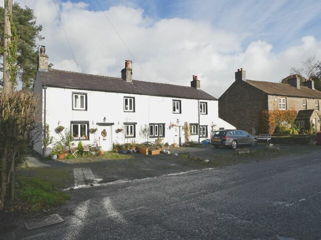
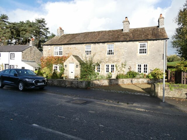
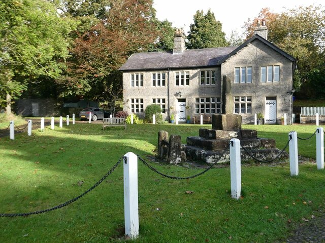
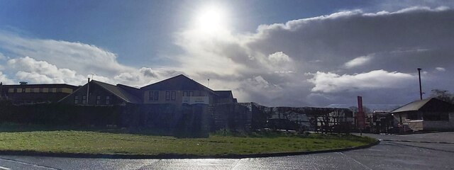
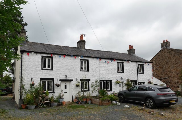
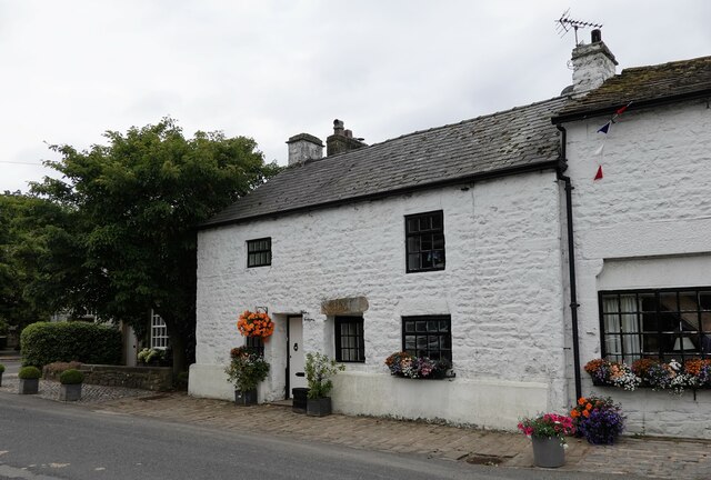
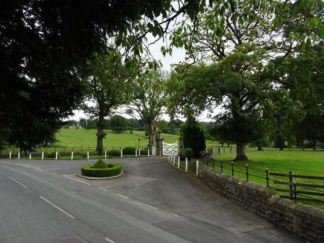
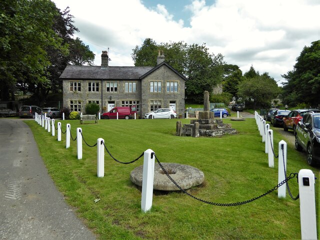
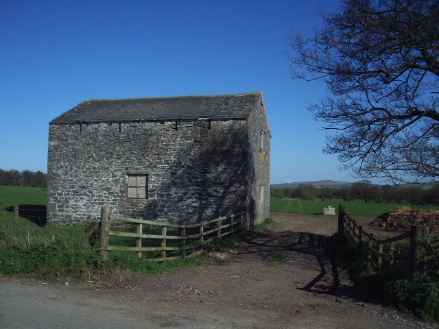
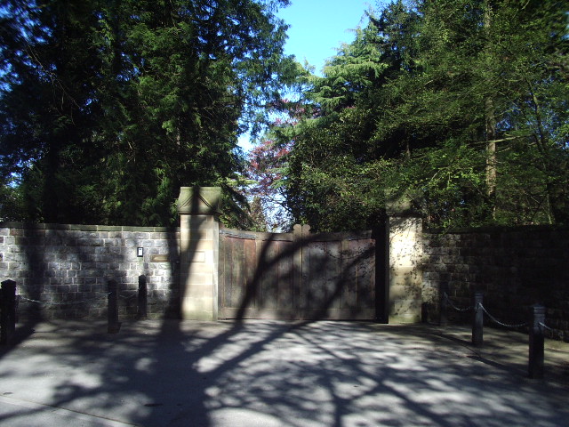
Fooden Gill Images
Images are sourced within 2km of 53.935062/-2.3068178 or Grid Reference SD7948. Thanks to Geograph Open Source API. All images are credited.

Fooden Gill is located at Grid Ref: SD7948 (Lat: 53.935062, Lng: -2.3068178)
Division: West Riding
Administrative County: Lancashire
District: Ribble Valley
Police Authority: Lancashire
What 3 Words
///pushed.paces.wide. Near Chatburn, Lancashire
Nearby Locations
Related Wikis

St Peter and St Paul's Church, Bolton-by-Bowland
St Peter and St Paul's Church is in Gisburn Road, Bolton-by-Bowland, Lancashire, England. It is an active Anglican parish church in the deanery of Whalley...

Bolton-by-Bowland
Bolton-by-Bowland is a village and civil parish in the Ribble Valley district of Lancashire, England. Before 1974, the village was part of Bowland Rural...

Skirden Beck
Skirden Beck is a minor river in Lancashire, England (historically in the West Riding of Yorkshire). It is approximately 4.3 miles (6.85 km) long and has...

Gisburn railway station
Gisburn railway station served the small village of Gisburn, which is now in Lancashire, England, but was in the West Riding of Yorkshire at the time....

Rimington railway station
Rimington railway station was a railway station that served the small village of Rimington in Lancashire. It was built by the Lancashire and Yorkshire...

Gisburne Park
Gisburne Park is an 18th-century country house and associated park in Gisburn, Lancashire, England, in the Ribble Valley some 6 miles (10 km) north-east...

Gisburn
Gisburn (formerly Gisburne) is a village and civil parish within the Ribble Valley borough of Lancashire, England. Historically within the West Riding...

Stock Beck
Stock Beck is a minor river in the West Craven area of Pendle, Lancashire (formerly in Yorkshire). It is 8.25 miles (13.27 km) long and has a catchment...
Nearby Amenities
Located within 500m of 53.935062,-2.3068178Have you been to Fooden Gill?
Leave your review of Fooden Gill below (or comments, questions and feedback).