Birkett Bottom
Valley in Westmorland Eden
England
Birkett Bottom

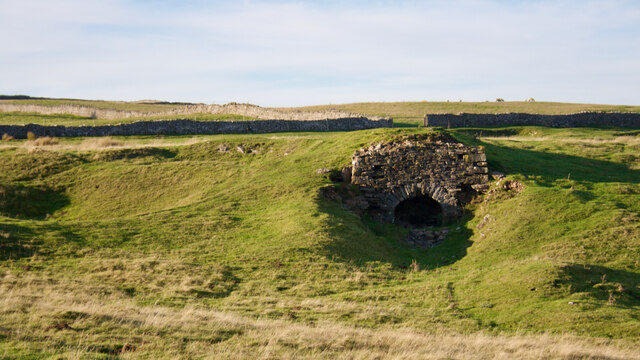
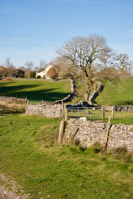
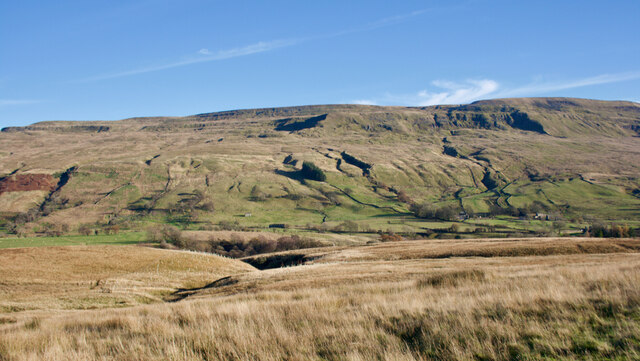
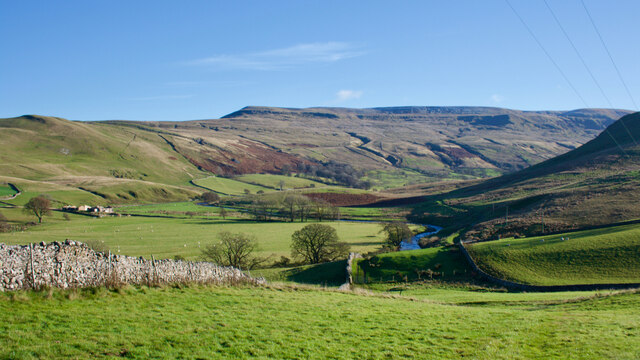
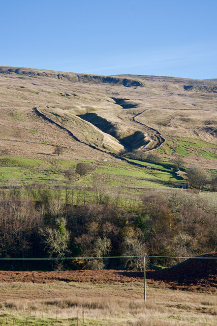
Birkett Bottom is a picturesque valley located in the county of Westmorland, England. Nestled in the stunning landscape of the Lake District National Park, this tranquil area offers visitors a serene escape from the hustle and bustle of everyday life.
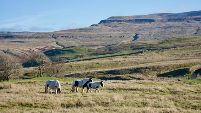
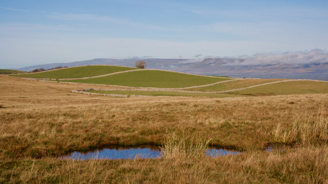
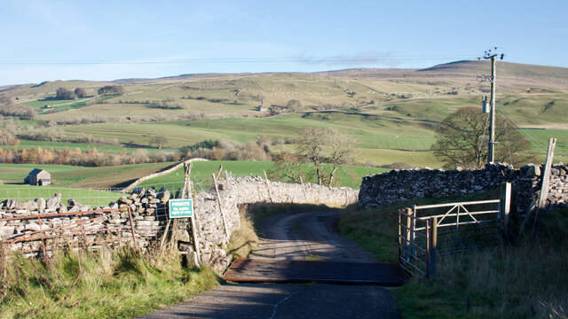
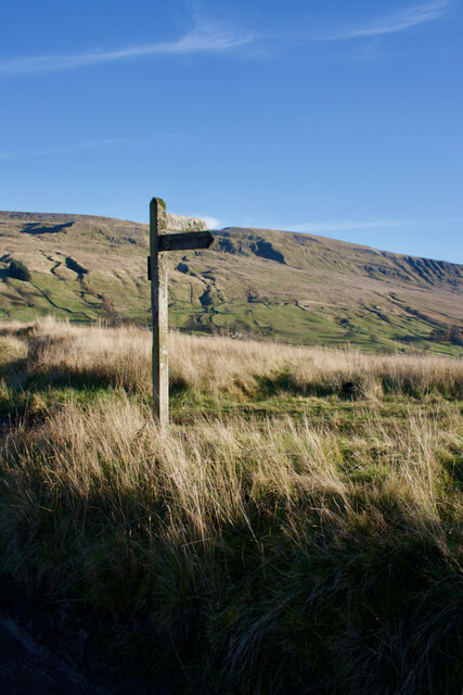
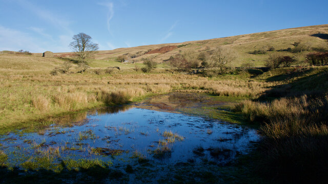
Surrounded by rolling hills, lush green meadows, and dotted with picturesque farms and cottages, Birkett Bottom truly epitomizes the beauty of the English countryside. The valley is crisscrossed by winding footpaths and babbling brooks, inviting nature enthusiasts and hikers to explore its hidden gems.
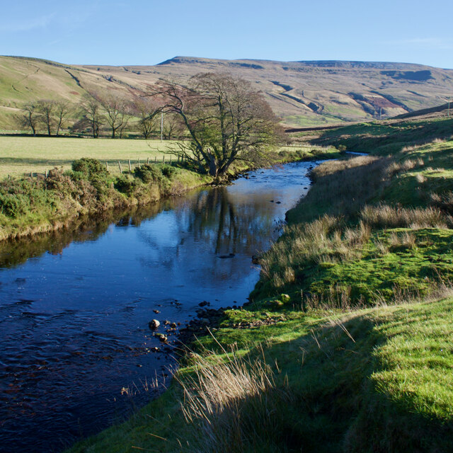
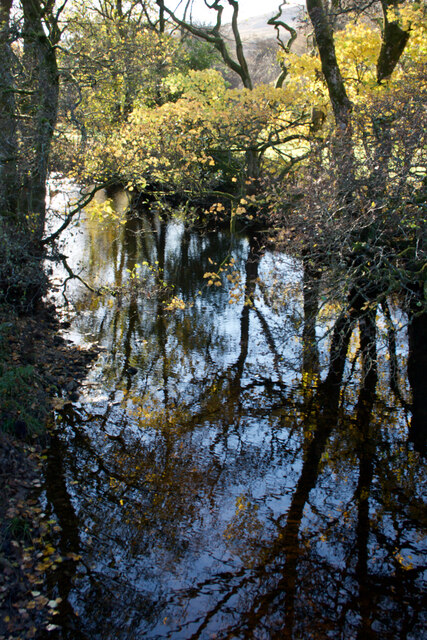
The main feature of Birkett Bottom is a meandering river that flows through the heart of the valley. This river not only adds to the area's visual appeal but also provides a habitat for various wildlife species, including otters and kingfishers. The river is a popular spot for fishing enthusiasts, who come to try their luck at catching trout or salmon.
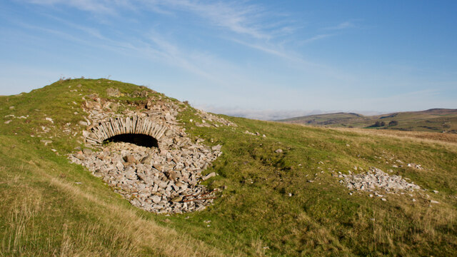
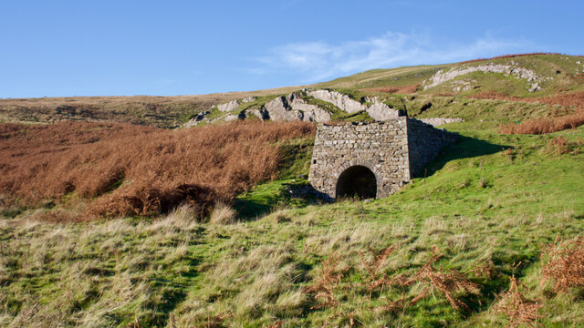
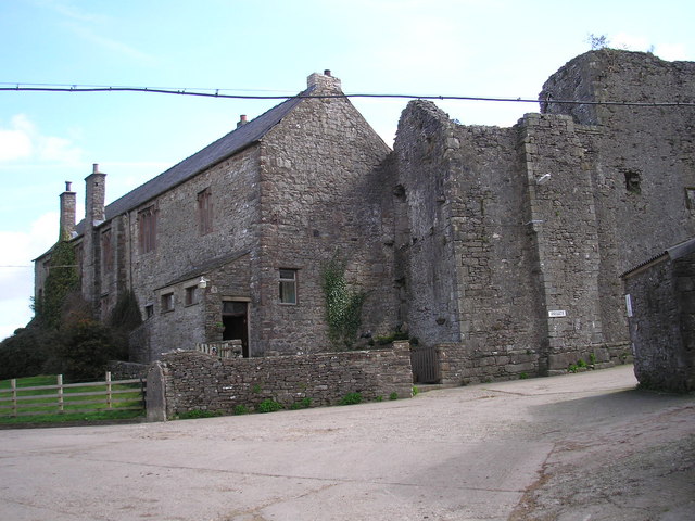
In addition to its natural beauty, Birkett Bottom has a rich history. There are several historic landmarks and buildings in the area, including an old stone bridge that dates back to the 18th century. The valley has also been a source of inspiration for many artists and writers throughout the years, who have captured its charm in their works.
For those looking to immerse themselves in the peaceful ambiance of rural England, Birkett Bottom is the perfect destination. Whether it's exploring the stunning countryside, fishing in the river, or simply enjoying a leisurely walk along the footpaths, this hidden gem in Westmorland offers a truly idyllic experience.
If you have any feedback on the listing, please let us know in the comments section below.
Birkett Bottom Images
Images are sourced within 2km of 54.433193/-2.3390503 or Grid Reference NY7804. Thanks to Geograph Open Source API. All images are credited.


Birkett Bottom is located at Grid Ref: NY7804 (Lat: 54.433193, Lng: -2.3390503)
Administrative County: Cumbria
District: Eden
Police Authority: Cumbria
What 3 Words
///sideboard.koala.patching. Near Kirkby Stephen, Cumbria
Nearby Locations
Related Wikis

Pendragon Castle
Pendragon Castle is a ruin located in Mallerstang Dale, Cumbria, south of Kirkby Stephen, and close to the hamlet of Outhgill (at grid reference NY781025...
Wharton Hall
Wharton Hall in Wharton, Cumbria, England, is a medieval fortified manor house. == History == At the heart of Wharton Hall is a 15th-century hall, built...

Nateby, Cumbria
Nateby is a village and civil parish in the Eden district of Cumbria, England. The parish had a population of 110 in 2001, increasing to 120 at the 2011...

Outhgill
Outhgill is a hamlet in Mallerstang, Cumbria, England. It lies about 5 miles (8 km) south of Kirkby Stephen. It is the main hamlet in the dale of Mallerstang...
Nearby Amenities
Located within 500m of 54.433193,-2.3390503Have you been to Birkett Bottom?
Leave your review of Birkett Bottom below (or comments, questions and feedback).