Lang Combe
Valley in Somerset Somerset West and Taunton
England
Lang Combe
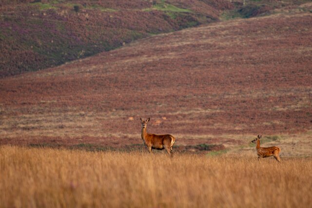
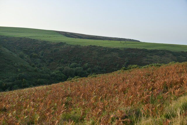
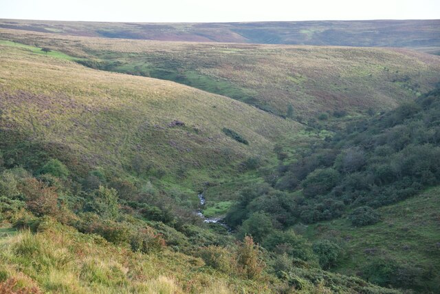
Langcombe is a small village located in the Somerset County of England, situated in the picturesque Langcombe Valley. The village is nestled amidst rolling hills and lush green meadows, offering breathtaking views to its residents and visitors alike. Langcombe is part of the larger Somerset Levels and Moors, an area renowned for its natural beauty and diverse wildlife.
The village itself is characterized by its charming rural atmosphere and a close-knit community. It consists of a handful of traditional stone cottages, some of which date back several centuries, adding to the village's historic charm. The local church, St. Mary's, stands as a prominent landmark and serves as a hub for community gatherings and events.
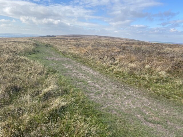
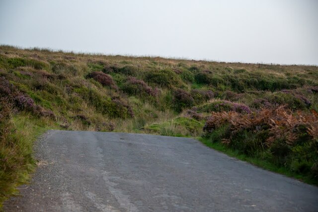
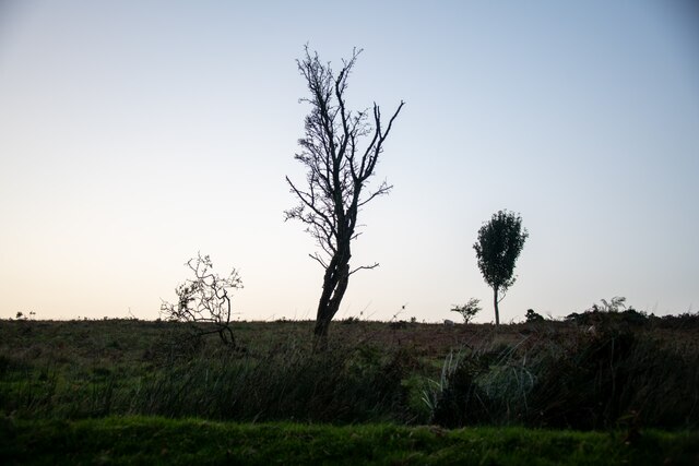
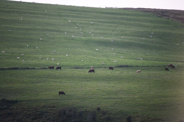
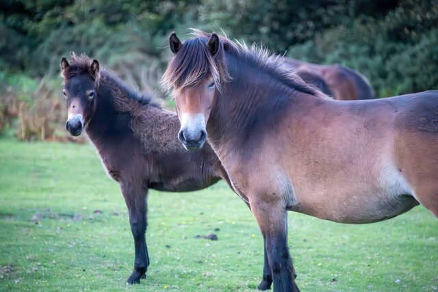
Langcombe is surrounded by an abundance of natural attractions, making it an ideal destination for outdoor enthusiasts. The Langcombe River meanders through the valley, providing opportunities for fishing and boating. The nearby Langcombe Woods offer picturesque walking trails, allowing visitors to immerse themselves in the tranquil countryside.
The village is well-connected to neighboring towns and cities. The historic market town of Taunton is a short drive away, offering a range of amenities including shops, restaurants, and cultural attractions. Langcombe also benefits from excellent transport links, with the M5 motorway nearby, providing easy access to Bristol and Exeter.
In conclusion, Langcombe is a idyllic village nestled in the stunning Langcombe Valley, offering a peaceful and picturesque setting for residents and tourists alike. With its rich history, natural beauty, and strong community spirit, Langcombe is a hidden gem in the heart of Somerset.
If you have any feedback on the listing, please let us know in the comments section below.
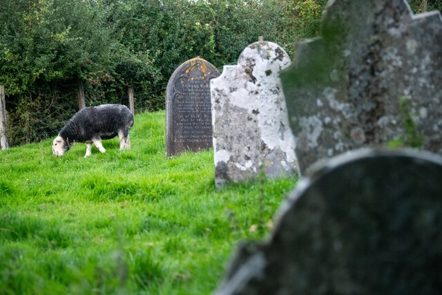
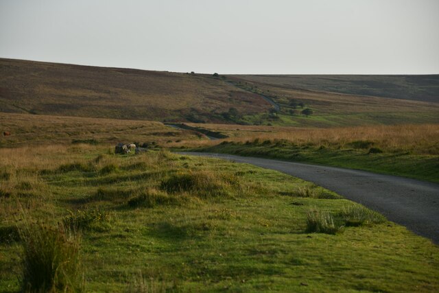
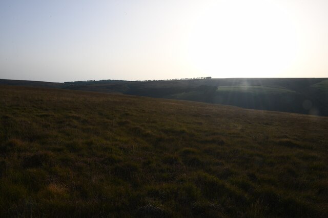
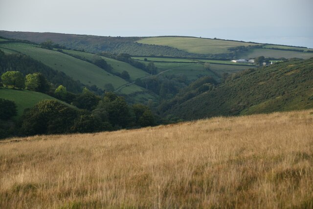
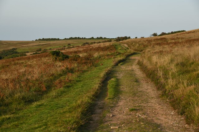
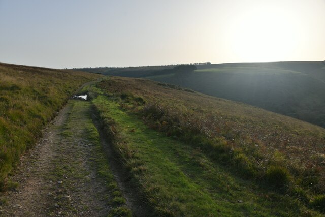
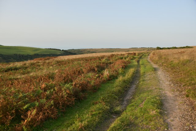
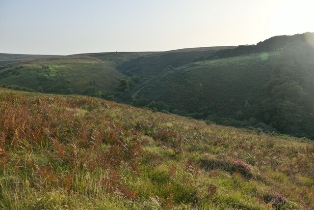
Lang Combe Images
Images are sourced within 2km of 51.168117/-3.6175387 or Grid Reference SS8742. Thanks to Geograph Open Source API. All images are credited.
Lang Combe is located at Grid Ref: SS8742 (Lat: 51.168117, Lng: -3.6175387)
Administrative County: Somerset
District: Somerset West and Taunton
Police Authority: Avon and Somerset
What 3 Words
///briefing.blubber.typically. Near Porlock, Somerset
Nearby Locations
Related Wikis

Nutscale Reservoir
Nutscale Reservoir is a reservoir located in Exmoor in north west Somerset, England. It supplies the town of Minehead and nearby Porlock and Porlock Weir...

Stoke Pero Church
Stoke Pero Church in Stoke Pero, Somerset, England was built in the 13th century. It is a Grade II* listed building. Standing 1,013 feet (309 meters) above...

Sweetworthy
Sweetworthy is the site of two Iron Age hill forts or enclosures at Luccombe, 4 kilometres (2 mi) south of Porlock, Somerset, England. They are on the...
Dunkery Hill
Dunkery Beacon at the summit of Dunkery Hill is the highest point on Exmoor and in Somerset, England. It is also the highest point in southern England...

Almsworthy Common
Almsworthy Common is a small area of unenclosed land in Exmoor, south-western England. It contains a number of archaeological sites. It is about 2 miles...
Berry Castle, Somerset
Berry Castle (sometimes known as Berry Camp) is an early Roman (possible Iron Age) hillslope enclosure in the West Somerset district of Somerset, England...

Alderman's Barrow
Alderman's Barrow is a bowl barrow on Exmoor. It was created as a burial chamber in the Bronze Age and subsequently became a marker for the boundary of...

Porlock Stone Circle
Porlock Stone Circle is a stone circle located on Exmoor, near the village of Porlock in the south-western English county of Somerset. The Porlock ring...
Nearby Amenities
Located within 500m of 51.168117,-3.6175387Have you been to Lang Combe?
Leave your review of Lang Combe below (or comments, questions and feedback).