Coombe Head
Hill, Mountain in Sussex Adur
England
Coombe Head
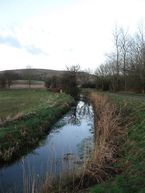
Coombe Head is a prominent hill located in the county of Sussex, England. Situated in the South Downs, it forms part of the picturesque landscape of the South Downs National Park. Although referred to as a hill, Coombe Head can be considered more of a gentle incline or ridge, rather than a towering mountain.
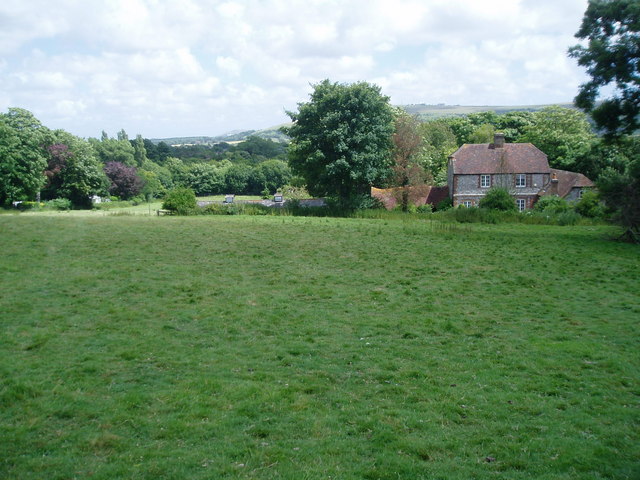
Standing at an elevation of approximately 200 meters (656 feet), Coombe Head offers stunning panoramic views of the surrounding countryside. On a clear day, visitors can see for miles, taking in the rolling hills, patchwork fields, and quaint villages that characterize the Sussex landscape. The hill is covered in lush green grass and dotted with wildflowers, providing a serene and idyllic setting for hikers and nature enthusiasts.
Coombe Head is easily accessible, with footpaths and trails leading up to its summit. These trails are well-maintained and offer a range of difficulty levels, catering to both seasoned hikers and casual walkers. Along the way, visitors may encounter various species of wildlife, including rabbits, foxes, and a variety of bird species.
The hill is also of historical significance, with evidence of human habitation dating back to ancient times. Archaeological finds indicate that Coombe Head was used as a settlement during the Iron Age, making it an area of interest for history buffs and archaeologists.
In summary, Coombe Head is a picturesque hill in Sussex, England, offering breathtaking views, diverse wildlife, and a glimpse into the region's rich history. It is a popular destination for outdoor enthusiasts and those seeking a tranquil escape in nature.
If you have any feedback on the listing, please let us know in the comments section below.
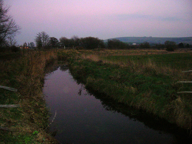
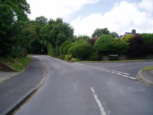
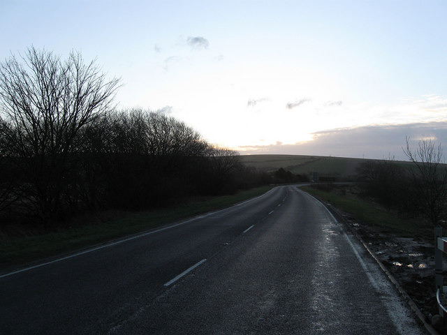
Coombe Head Images
Images are sourced within 2km of 50.863582/-0.32161544 or Grid Reference TQ1808. Thanks to Geograph Open Source API. All images are credited.
Coombe Head is located at Grid Ref: TQ1808 (Lat: 50.863582, Lng: -0.32161544)
Administrative County: West Sussex
District: Adur
Police Authority: Sussex
What 3 Words
///skyrocket.really.cargo. Near Steyning, West Sussex
Nearby Locations
Related Wikis
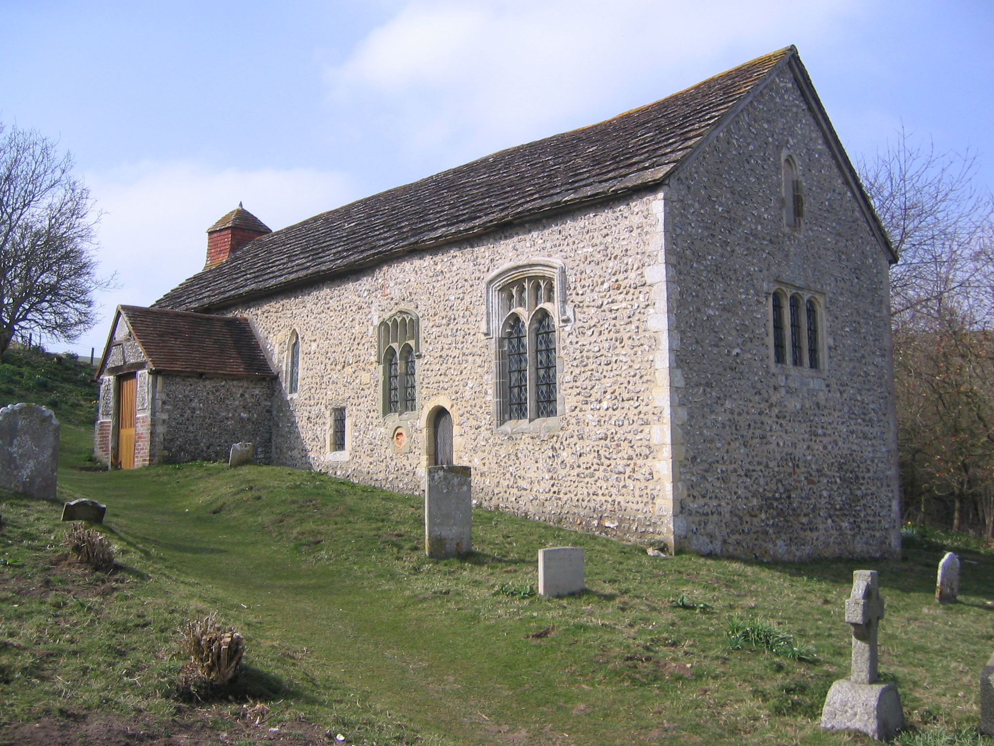
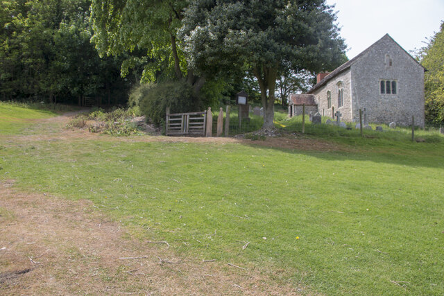
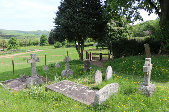
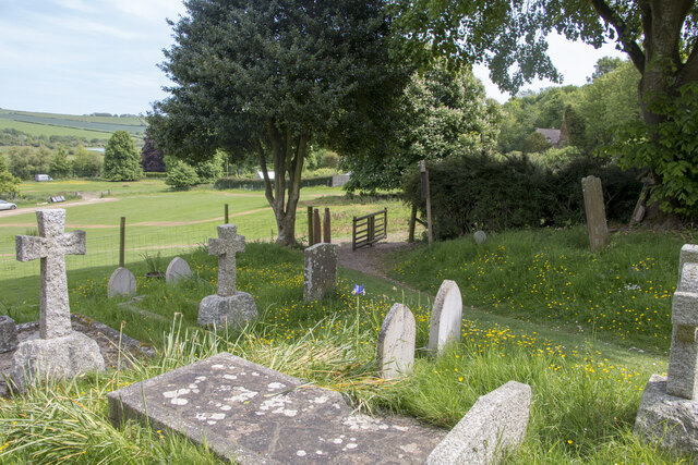
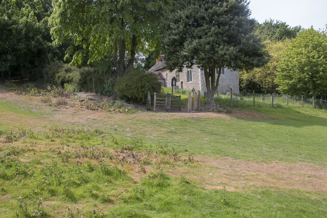
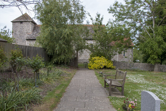
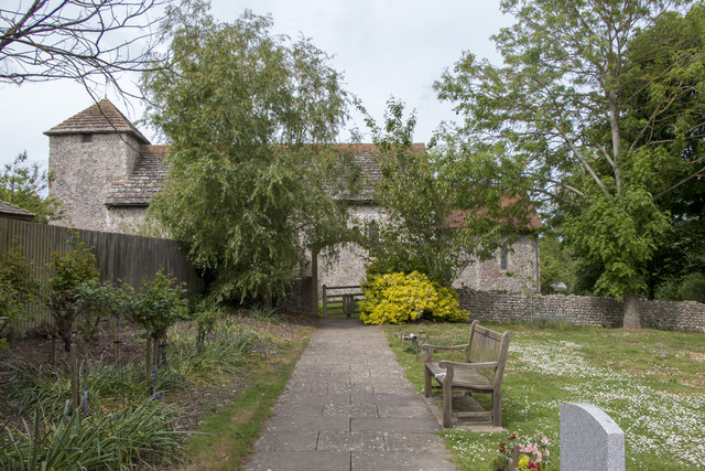
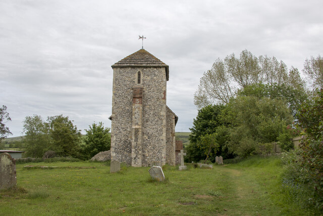
Coombes Church
Coombes Church is a Church of England parish church in the rural hamlet of Coombes in the Adur District of West Sussex, England. It has served the rural...
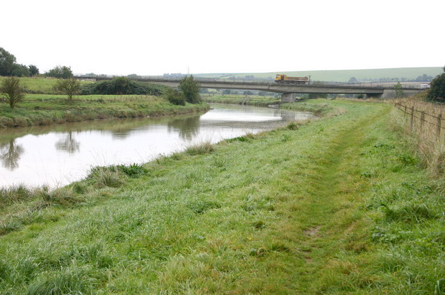
Coombes
Coombes is a small village and civil parish in the Adur District of West Sussex, England. The village is in the Adur Valley 2 miles (3.2 km) northwest...

Botolphs
Botolphs, formerly known as Annington, is a tiny village and former civil parish, now in the parish of Bramber, in the Horsham District of West Sussex...
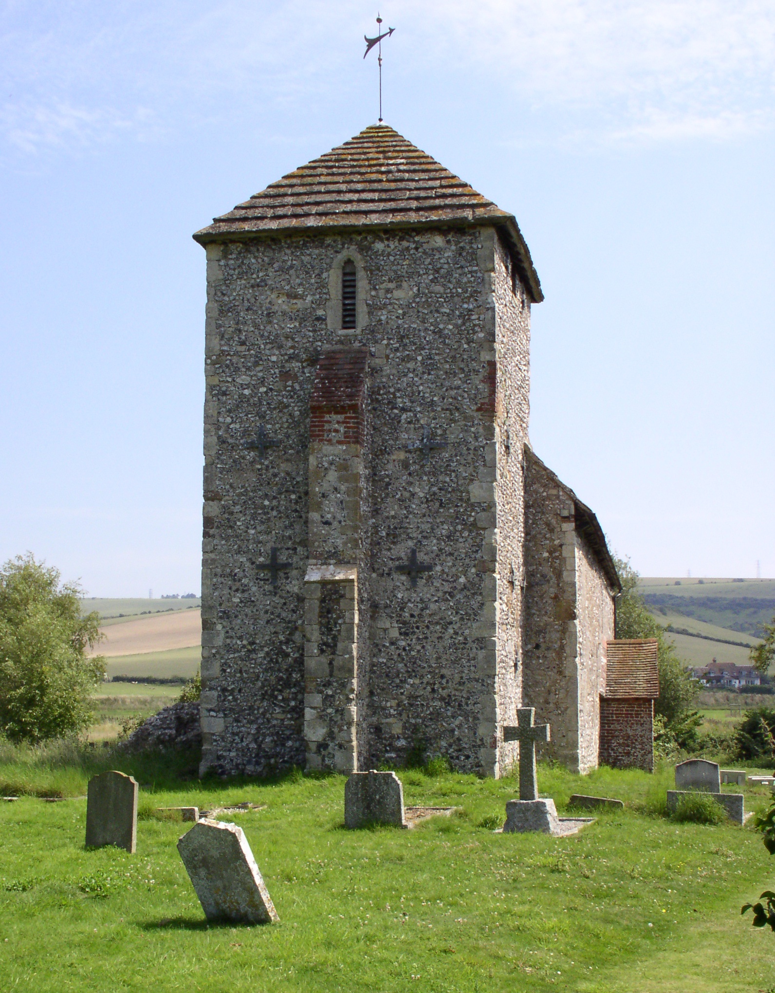
St Botolph's Church, Botolphs
The Grade I listed Saxon church of St Botolph's at Botolphs, West Sussex, England, is situated in the valley of the River Adur and is now part of the Church...

Sompting & North Lancing (electoral division)
Sompting & North Lancing is an electoral division of West Sussex in the United Kingdom, and returns one member to sit on the West Sussex County Council...

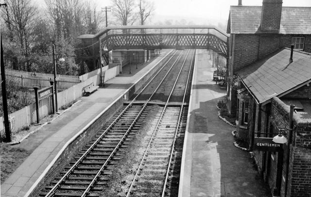
Bramber railway station
Bramber was a railway station in England on the Steyning Line which served the village of Bramber. The station was patronised by tourists visiting nearby...

Bramber
Bramber is a former manor, village and civil parish in the Horsham District of West Sussex, England. It has a ruined mediaeval castle which was the caput...

Lancing Ring
Lancing Ring is a 29.4-hectare (73-acre) Local Nature Reserve in Lancing in West Sussex. It is owned and managed by Adur District Council.This chalk grassland...
Nearby Amenities
Located within 500m of 50.863582,-0.32161544Have you been to Coombe Head?
Leave your review of Coombe Head below (or comments, questions and feedback).