Cnoc Bràigh Bratanais
Hill, Mountain in Ross-shire
Scotland
Cnoc Bràigh Bratanais
Cnoc Bràigh Bratanais is a prominent hill located in Ross-shire, Scotland. Situated in the Scottish Highlands, it is part of the larger mountain range known as the Northwest Highlands. With an elevation of approximately 703 meters (2,306 feet), Cnoc Bràigh Bratanais offers breathtaking panoramic views of the surrounding landscape.
The hill is characterized by its rugged and rocky terrain, typical of the Scottish Highlands. It is covered in heather and grasses, providing a natural habitat for various wildlife species, including birds of prey, red deer, and mountain hares. The area is also home to several rare plant species, such as the woolly willow and the dwarf birch.
Cnoc Bràigh Bratanais is a popular destination for outdoor enthusiasts and hikers. Several trails lead to the summit, ranging in difficulty from moderate to challenging. The ascent offers an opportunity to experience the beauty of the Scottish Highlands up-close, with stunning views of nearby lochs, glens, and other mountains.
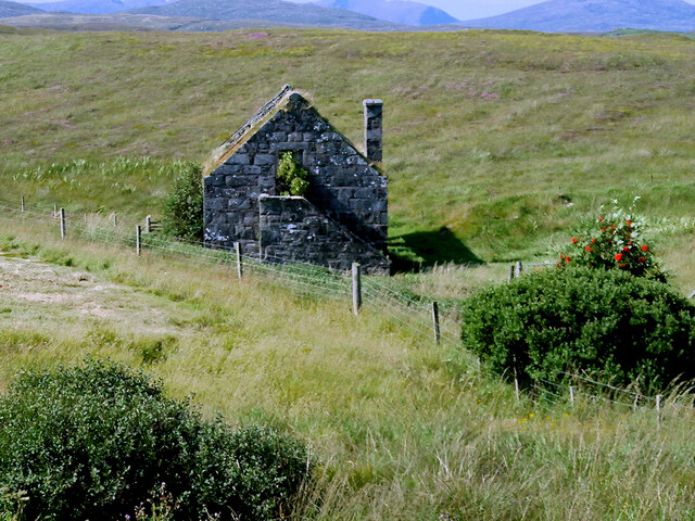
Historically, the hill has been used for grazing livestock, and remnants of old sheiling huts can be found along the slopes. These huts were once used by farmers during the summer months to tend to their animals. Today, the hill remains an important part of the local culture and heritage.
Overall, Cnoc Bràigh Bratanais is a captivating hill in Ross-shire, offering a chance to immerse oneself in the scenic beauty of the Scottish Highlands while providing a glimpse into the region's history and wildlife.
If you have any feedback on the listing, please let us know in the comments section below.
Cnoc Bràigh Bratanais Images
Images are sourced within 2km of 58.198934/-6.7549168 or Grid Reference NB2033. Thanks to Geograph Open Source API. All images are credited.

Cnoc Bràigh Bratanais is located at Grid Ref: NB2033 (Lat: 58.198934, Lng: -6.7549168)
Unitary Authority: Na h-Eileanan an Iar
Police Authority: Highlands and Islands
What 3 Words
///dress.winded.doubts. Near Carloway, Na h-Eileanan Siar
Related Wikis

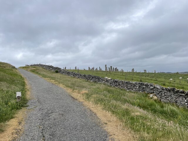
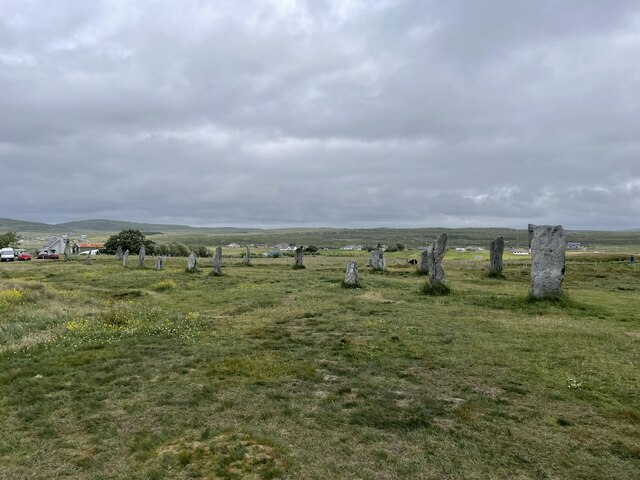
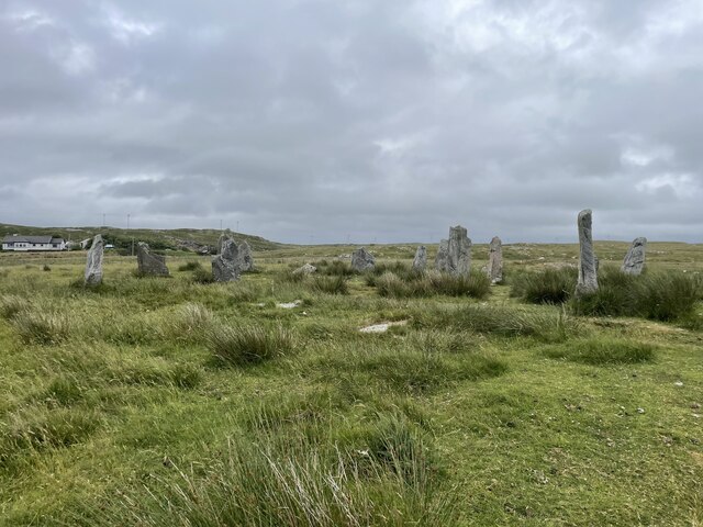
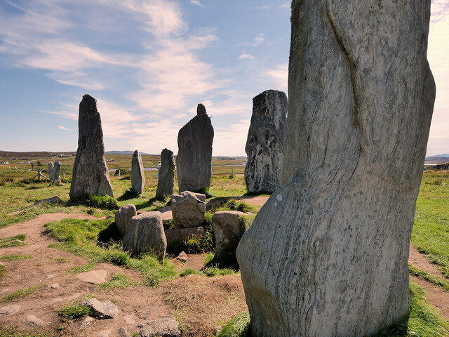
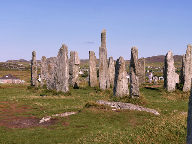
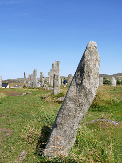
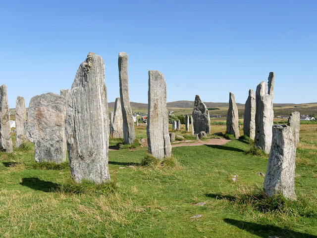
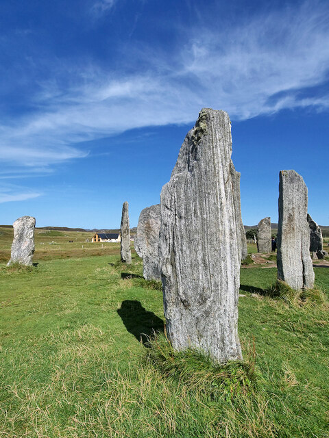
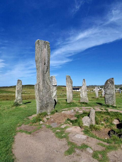
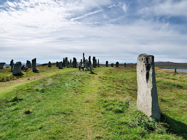
Callanish Stones
The Callanish Stones (or "Callanish I": Scottish Gaelic: Clachan Chalanais or Tursachan Chalanais) are an arrangement of standing stones placed in a cruciform...

Callanish
Callanish (Scottish Gaelic: Calanais) is a village (township) on the west side of the Isle of Lewis, in the Outer Hebrides (Western Isles), Scotland. Callanish...

Eilean Chearstaidh
Eilean Kearstay (Scottish Gaelic: Eilean Chearstaigh) is an uninhabited island in Loch Roag in the Outer Hebrides of Scotland. It lies south east of Great...

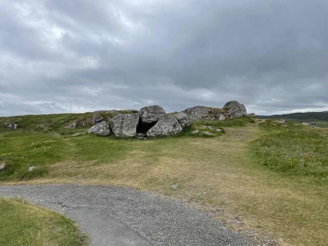
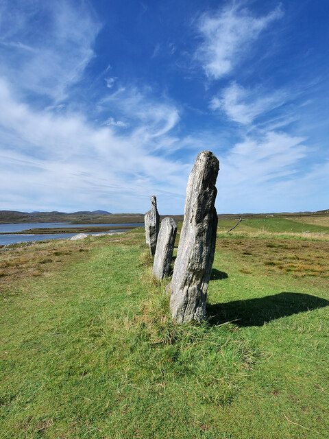
Callanish II
The Callanish II stone circle (Scottish Gaelic: Cnoc Ceann a' Gharaidh) is one of many megalithic structures around the better-known (and larger) Calanais...
Nearby Amenities
Located within 500m of 58.198934,-6.7549168Have you been to Cnoc Bràigh Bratanais?
Leave your review of Cnoc Bràigh Bratanais below (or comments, questions and feedback).