Cleit Lonndabhat

Hill, Mountain in Inverness-shire

Scotland

Cleit Lonndabhat

Cairn on summit col of Postman's Path between Trolamul & Beinn Tharsuinn
Cairn on summit col of Postman's Path between Trolamul & Beinn Tharsuinn Credit: Colin Park

Cleit Lonndabhat is a prominent hill located in Inverness-shire, Scotland. It is part of the Scottish Highlands and is situated near the small village of Lochcarron. The hill is known for its distinctive shape and rugged terrain, making it a popular destination for hikers and nature enthusiasts.

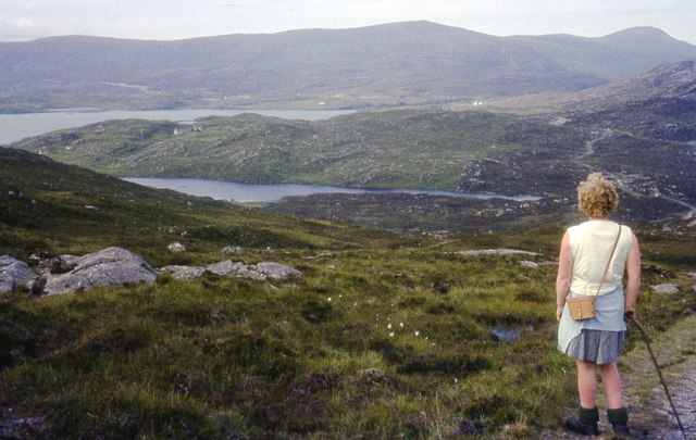
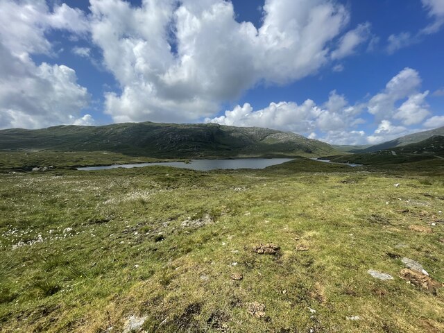
Standing at an elevation of approximately 1,664 feet (507 meters), Cleit Lonndabhat offers stunning panoramic views of the surrounding area. On a clear day, visitors can see the picturesque Lochcarron, the nearby Torridon Hills, and even glimpses of the Isle of Skye in the distance. The summit provides a great vantage point for observing the diverse flora and fauna that inhabit the region.

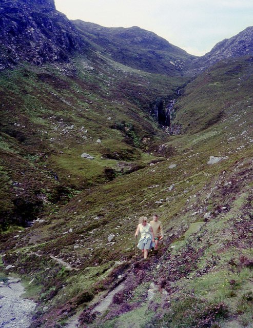
The hill is characterized by its steep slopes and rocky terrain, which can be challenging for inexperienced hikers. However, there are well-defined paths and trails that lead to the summit, providing a relatively straightforward ascent for those with adequate fitness levels.

Cleit Lonndabhat is also known for its historical significance. The area has evidence of prehistoric settlements, including ancient stone circles and burial sites. These remnants of early human habitation add an extra layer of intrigue to the hill, attracting history enthusiasts and archaeologists alike.

Overall, Cleit Lonndabhat offers a unique and rewarding outdoor experience for those seeking adventure, natural beauty, and a glimpse into Scotland's rich history.

If you have any feedback on the listing, please let us know in the comments section below.

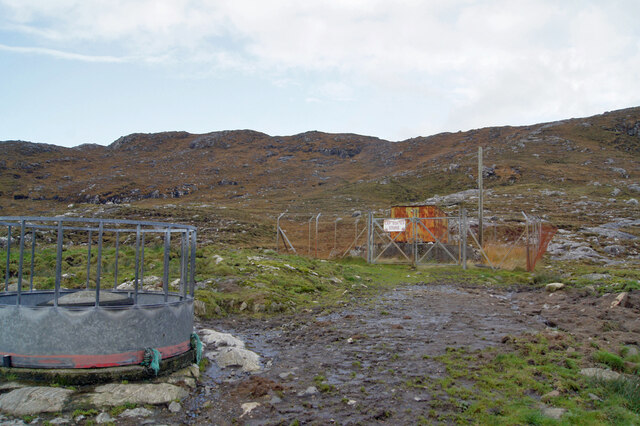
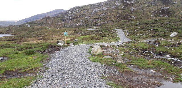
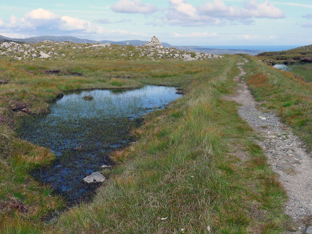
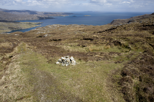
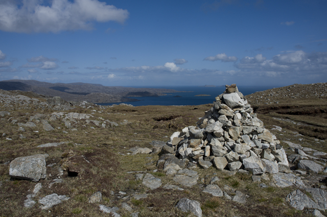
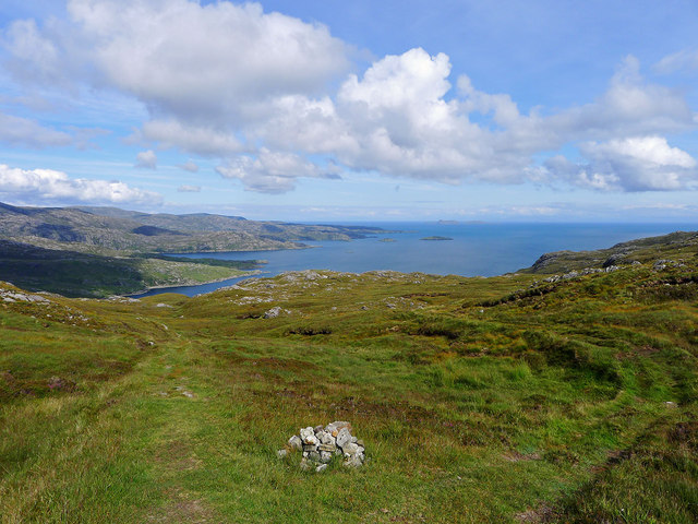
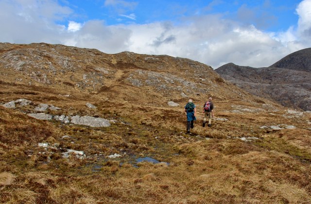
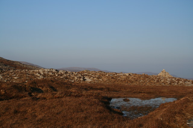
Cleit Lonndabhat Images

Images are sourced within 2km of 57.90665/-6.7471853 or Grid Reference NB1800. Thanks to Geograph Open Source API. All images are credited.
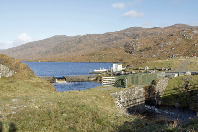
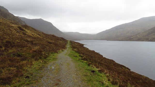
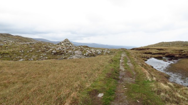
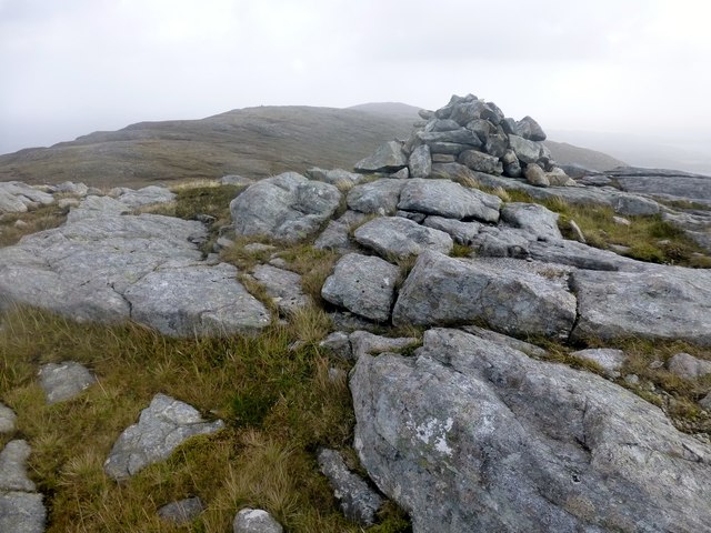
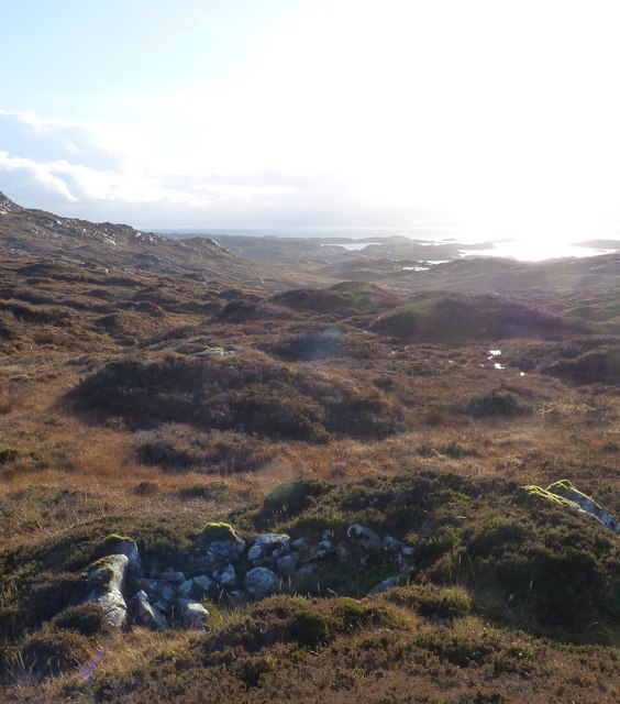
Cairn on summit col of Postman's Path between Trolamul & Beinn Tharsuinn
View towards Tarbert From the postie's path to Rhenigidale.
View towards Tarbert
From the postie's path to Rhenigidale.
Gleann Trolamarig From the path to Rhenigidale.
Gleann Trolamarig
From the path to Rhenigidale.
Shepherds at work Two shepherds at work bringing in the sheep.
Shepherds at work
Two shepherds at work bringing in the sheep.
Dam and footbridge. Lochannan Lacasdail The wooden footbridge almost certainly replaces a former stone bridge which carried the road. There is now a modern road bridge out of shot on the right.
Dam and footbridge. Lochannan Lacasdail
The wooden footbridge almost certainly replaces a former stone bridge which carried the road. There is now a modern road bridge out of shot on the right.
Explosives store The sign on the fence reads 'Explosives Store', though the rickety looking building within looks like it has seen better days, so I doubt any explosives are stored there now, and I have to wonder why they were ever there is the first place.
Explosives store
The sign on the fence reads 'Explosives Store', though the rickety looking building within looks like it has seen better days, so I doubt any explosives are stored there now, and I have to wonder why they were ever there is the first place.
Path around Lochanan Lacasdail This path looks brand new.
Path around Lochanan Lacasdail
This path looks brand new.
Harris Landscape Geocaching is a type of global treasure hunt of people looking for caches, or hidden stashes of objects. Geocaching may also be described as a series of hide-and-seek games, where hiders provide online clues for seekers. Seekers use global positioning system (GPS) devices to find hidden caches
Harris Landscape
Geocaching is a type of global treasure hunt of people looking for caches, or hidden stashes of objects. Geocaching may also be described as a series of hide-and-seek games, where hiders provide online clues for seekers. Seekers use global positioning system (GPS) devices to find hidden caches
A wet afternoon looking north along Hebridean Way beside Lochannan Lacasdail
Cairn at the head of the pass over to Loch Trollamarig There is a level stretch at the bealach before the path heads downwards to Molinginish and Rhenigidale.
Cairn at the head of the pass over to Loch Trollamarig
There is a level stretch at the bealach before the path heads downwards to Molinginish and Rhenigidale.
Junction on the Rhenigidale track The track on the left goes to Rhenigidale and that to the right goes to the abandoned settlement of Molinginish.
Junction on the Rhenigidale track
The track on the left goes to Rhenigidale and that to the right goes to the abandoned settlement of Molinginish.
Cairn on the Rhenigidale path This substantial cairn marks the summit of the Rhenigidale to Urgha track.
Cairn on the Rhenigidale path
This substantial cairn marks the summit of the Rhenigidale to Urgha track.
Trollamul [Trolamul] Reinigeadal track to bealach then up to summit with Jim Bloomer, Martin Richardson and Michael Earnshaw.
Name: Trollamul [Trolamul]
Hill number: 4961
Height: 335m / 1099ft
Area: 24B: Harris and Nearby Islands
Class: Hu,3
Grid ref: NB 20038 01328
Summit feature: small pile of stones
Drop: 102m
Col: 233m  NB197021
Trollamul [Trolamul]
Reinigeadal track to bealach then up to summit with Jim Bloomer, Martin Richardson and Michael Earnshaw. Name: Trollamul [Trolamul] Hill number: 4961 Height: 335m / 1099ft Area: 24B: Harris and Nearby Islands Class: Hu,3 Grid ref: NB 20038 01328 Summit feature: small pile of stones Drop: 102m Col: 233m NB197021
Beinn Tharsuinn Trollamul, Beinn Tharsuinn and Leac Easgadail with Martin Richardson in windy weather with Jim Bloomer collecting us from the bridge.
Name: Beinn Tharsuinn
Hill number: 104266
Height: 323m / 1060ft
Area: 24B: Harris and Nearby Islands
Class: 3
Grid ref: NB203005 (est)
Drop: 38m
Col: 285m  NB202008
Beinn Tharsuinn
Trollamul, Beinn Tharsuinn and Leac Easgadail with Martin Richardson in windy weather with Jim Bloomer collecting us from the bridge. Name: Beinn Tharsuinn Hill number: 104266 Height: 323m / 1060ft Area: 24B: Harris and Nearby Islands Class: 3 Grid ref: NB203005 (est) Drop: 38m Col: 285m NB202008
Left to Rhenigidale, right to Molinginish The parting of the routes is clearly indicated after the brow of the pass between Trolamul and Beinn Tharsuinn. The identical viewpoint was chosen nine months later by Tom Richardson.  <a href="https://www.geograph.org.uk/photo/3230194">NB2000 : Junction on the Rhenigidale track</a>
Left to Rhenigidale, right to Molinginish
The parting of the routes is clearly indicated after the brow of the pass between Trolamul and Beinn Tharsuinn. The identical viewpoint was chosen nine months later by Tom Richardson. NB2000 : Junction on the Rhenigidale track
Rocky moorland above Moilingeanais An Reithe and the hump of Todun on the right.
Rocky moorland above Moilingeanais
An Reithe and the hump of Todun on the right.
Cairn at the top of the old path to Rhenigidale Typical boggy & rocky terrain of upland Harris.
Cairn at the top of the old path to Rhenigidale
Typical boggy & rocky terrain of upland Harris.
An ruined shieling The island of Scalpay can be seen in the background
An ruined shieling
The island of Scalpay can be seen in the background
Show me another place!

Cleit Lonndabhat is located at Grid Ref: NB1800 (Lat: 57.90665, Lng: -6.7471853)

Unitary Authority: Na h-Eileanan an Iar

Police Authority: Highlands and Islands

What 3 Words

///screening.loyal.zoomed. Near Tarbert, Na h-Eileanan Siar

Nearby Locations

Cleit Lonndabhat

Related Wikis

Sgeotasaigh

Scotasay (Scottish Gaelic: Sgeotasaigh) is small island in the Outer Hebrides of Scotland. It lies 1 kilometre (0.6 miles) off the east coast of Harris...

Harris distillery

Harris distillery is a Scotch whisky and Gin distillery in Tarbert on the Isle of Harris, Scotland. The distillery was the first legal distillery ever...

Tarbert, Harris

Tarbert (Scottish Gaelic: An Tairbeart [ən̪ˠ ˈt̪ɛrʲɛbərˠʃt̪]) is the main community on Harris in the Western Isles of Scotland. The name means "isthmus...

Rèinigeadal

Rèinigeadal (or Rhenigidale) is a small settlement in Harris, in the Western Isles in Scotland. It is situated on the east coast of Harris 8 kilometres...

Nearby Amenities

Located within 500m of 57.90665,-6.7471853
Passing Place
Lat/Long: 57.9037/-6.753525
Passing Place
Lat/Long: 57.9033797/-6.752704
The data included in this document is from www.openstreetmap.org. The data is made available under ODbL.

Have you been to Cleit Lonndabhat?

Leave your review of Cleit Lonndabhat below (or comments, questions and feedback).