Cnoc nan Tota
Hill, Mountain in Argyllshire
Scotland
Cnoc nan Tota
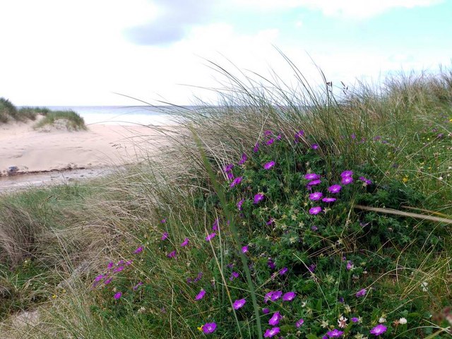
Cnoc nan Tota, also known as "The Hill of the Potatoes," is situated in the county of Argyllshire, Scotland. It is a prominent hill located in the southern part of the region, offering breathtaking views of the surrounding landscape.
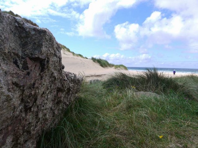
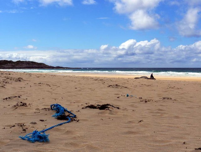
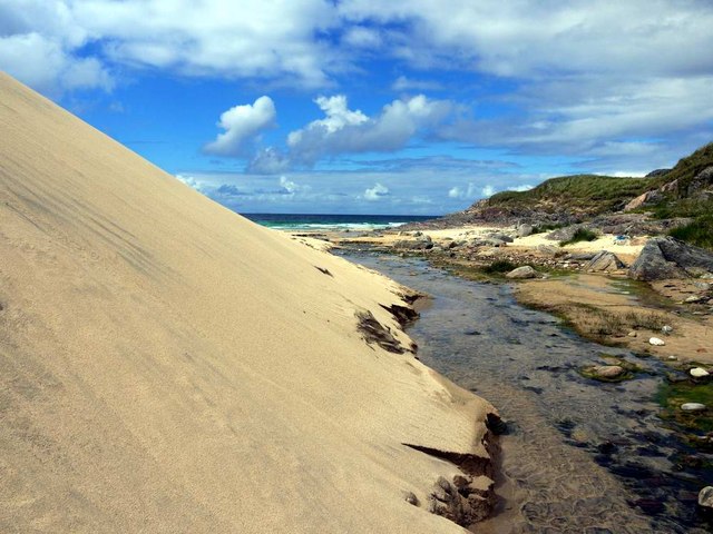
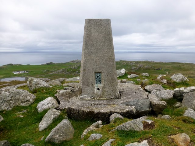
Standing at an elevation of approximately 480 meters (1,575 feet), Cnoc nan Tota is a popular destination for hikers and outdoor enthusiasts. Its location on the western coast of Scotland provides visitors with stunning vistas of the nearby Loch Melfort and the surrounding hills and mountains.
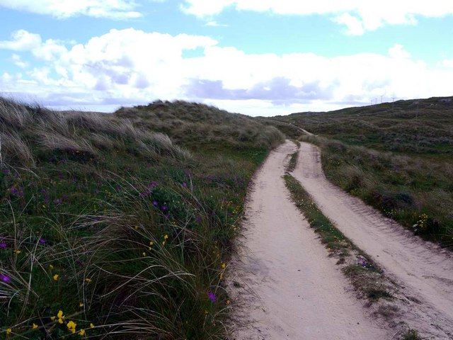
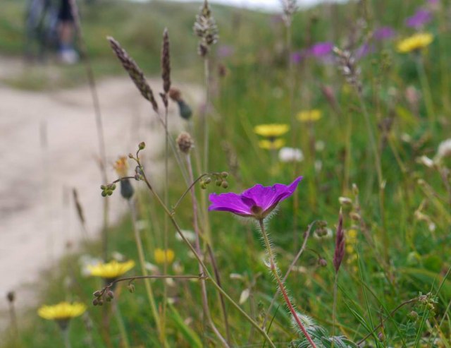
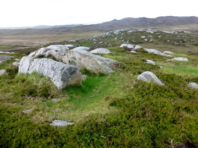
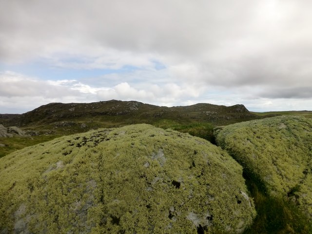
The hill itself is characterized by its gentle slopes and rolling terrain, making it suitable for hikers of various skill levels. The ascent to the summit is relatively moderate, with well-defined pathways and tracks allowing for an enjoyable and accessible hike.
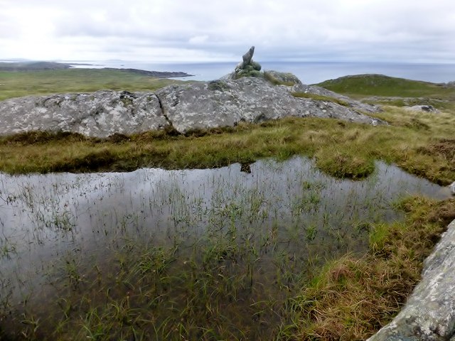
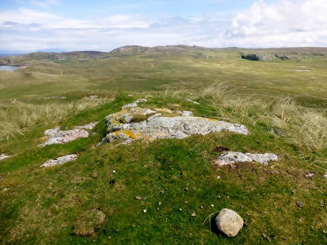
At the top of Cnoc nan Tota, hikers are rewarded with panoramic views of the Argyllshire countryside, including the picturesque islands of Jura and Mull in the distance. On clear days, the Isle of Skye can even be spotted on the horizon.
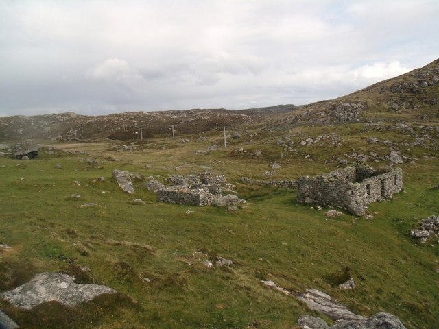
The hill is also known for its rich historical significance. It is believed that Cnoc nan Tota was once used as a lookout point during ancient times, serving as a strategic vantage point for observing the movements of nearby clans or potential invaders.
Overall, Cnoc nan Tota offers a stunning natural setting, a moderate hiking challenge, and a glimpse into the historical past of Argyllshire. It is a must-visit destination for those seeking outdoor adventures and breathtaking scenery in the Scottish Highlands.
If you have any feedback on the listing, please let us know in the comments section below.
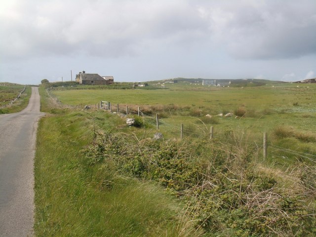
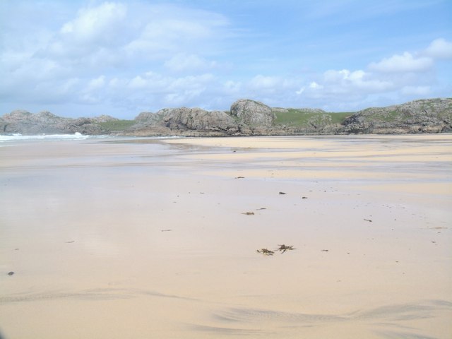
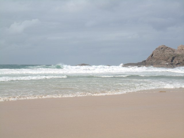
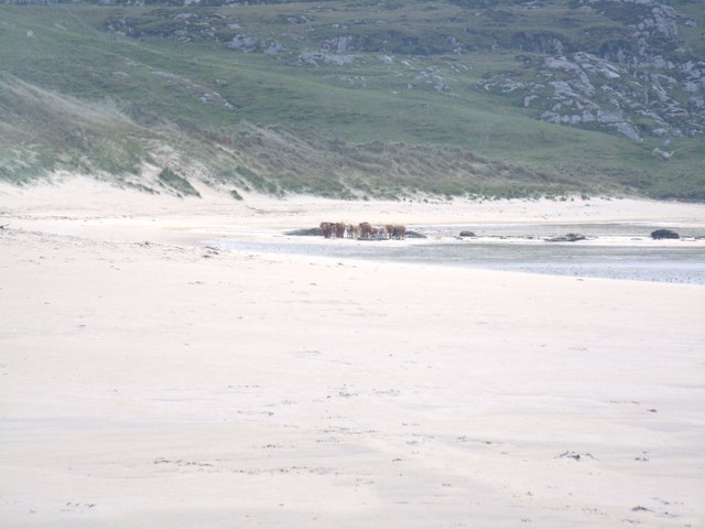
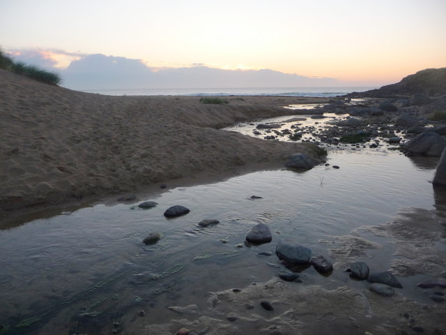
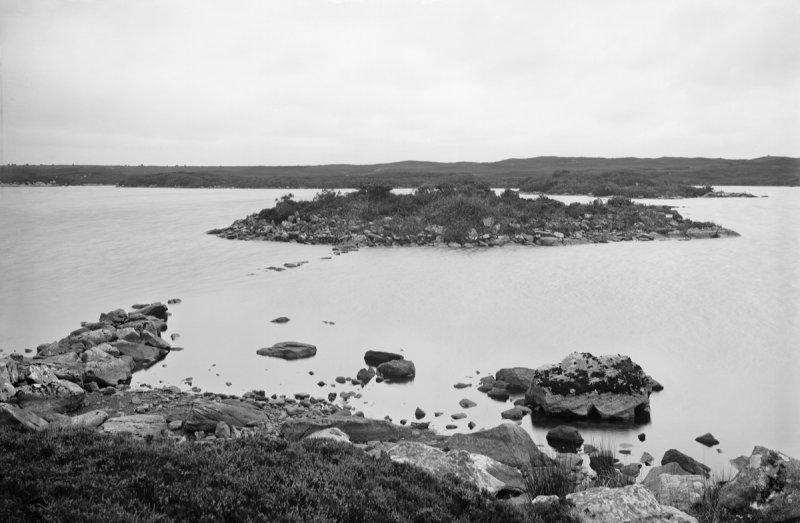
Cnoc nan Tota Images
Images are sourced within 2km of 56.616616/-6.5918701 or Grid Reference NM1856. Thanks to Geograph Open Source API. All images are credited.

Cnoc nan Tota is located at Grid Ref: NM1856 (Lat: 56.616616, Lng: -6.5918701)
Unitary Authority: Argyll and Bute
Police Authority: Argyll and West Dunbartonshire
What 3 Words
///slave.chariots.adopt. Near Arinagour, Argyll & Bute
Nearby Locations
Related Wikis
Dùn Anlaimh
Dùn Anlaimh, also known as Dùn Amhlaidh, and Eilean nan Cinneachan, is a crannog (an artificial island), located within Loch nan Cinneachan on the Inner...

Totamore dun
Totamore Dun is a dun located at grid reference NM17625713; near the settlement of Totamore, on the Inner Hebridean island of Coll. It occupies the summit...

An Caisteal (Coll)
An Caisteal (English: The Castle) is a hill fort located on the island of Coll. This island is one of the islands which make up the Inner Hebrides located...

Acha, Coll
Acha (Gaelic: An t-Achadh, tranlsating to "The Field") is a small hamlet on the Scottish island of Coll. == References == == See also == Dùn an Achaidh...

Dùn an Achaidh
Dùn an Achaidh, sometimes Anglicised as Dun Acha, is a dun located near the village of Acha on the Inner Hebridean island of Coll. It is considered the...

Coll Airport
Coll Island Airport (IATA: COL, ICAO: EGEL) (Scottish Gaelic: Port-adhair Cholla) is located 5 NM (9.3 km; 5.8 mi) west southwest of Arinagour on the island...

Dùn Dubh
Dùn Dubh is a hillfort, located on the Inner Hebridean island of Coll. The fort is one of three associated with a local tradition which states that they...

Coll
Coll (; Scottish Gaelic: Cola; Scots: Coll) is an island located west of the Isle of Mull in the Inner Hebrides of Scotland. Coll is known for its sandy...
Have you been to Cnoc nan Tota?
Leave your review of Cnoc nan Tota below (or comments, questions and feedback).