Ben Hogh

Hill, Mountain in Argyllshire

Scotland

Ben Hogh

Moorland near Loch Cliad, Isle of Coll Although not clearly defined in this picture, what may be a peat road runs beside the ruined of an old dyke in moorland to the west of Loch Cliad.
Moorland near Loch Cliad, Isle of Coll Credit: Alpin Stewart

Ben Hogh is a prominent hill located in Argyllshire, Scotland. Standing at an elevation of approximately 425 meters (1,394 feet), it is one of the noteworthy peaks in the region. The hill is situated in a remote and rugged landscape, offering breathtaking panoramic views of the surrounding countryside and nearby Loch Fyne.

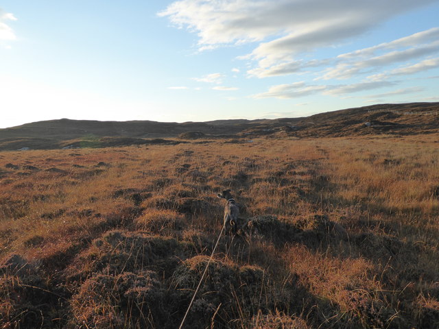
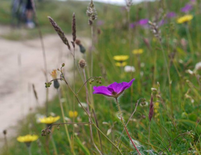
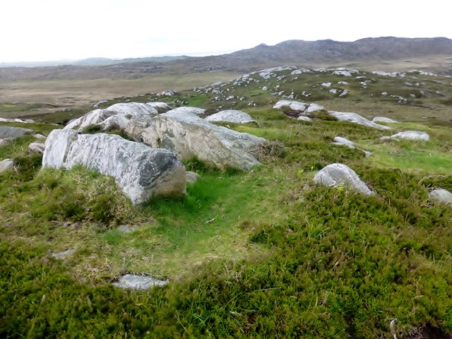
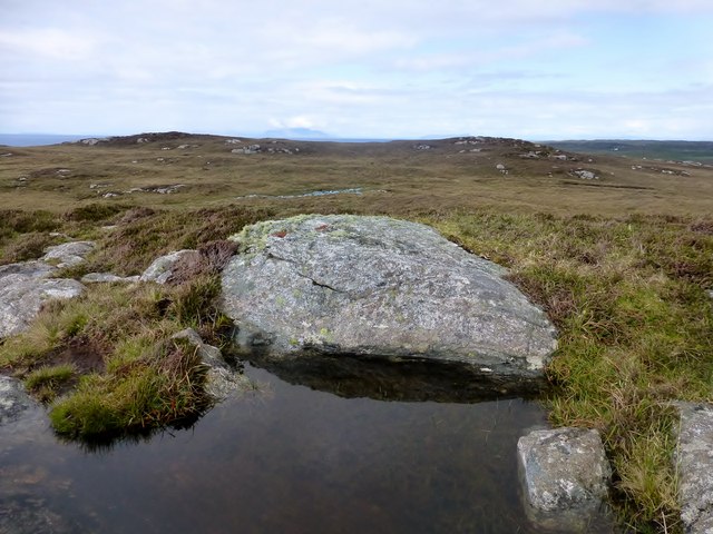
Covered in lush green vegetation and scattered with rocky outcrops, Ben Hogh provides a picturesque setting for outdoor enthusiasts and nature lovers. Its slopes are home to a variety of plant species, including heather, bracken, and scattered patches of woodland. The diverse flora attracts a wide range of wildlife, such as red deer, mountain hares, and various bird species, making it an ideal spot for wildlife observation and photography.

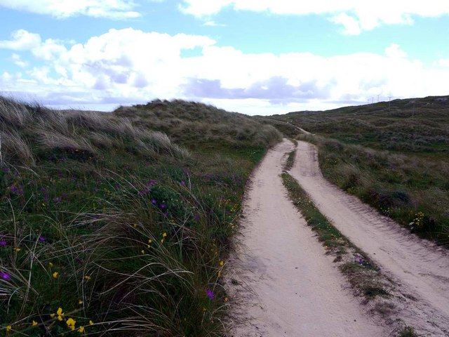
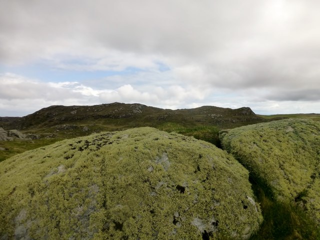
Hiking and climbing opportunities are plentiful on Ben Hogh, with a range of trails catering to different abilities. The ascent to the summit is relatively challenging, but the reward is the breathtaking views of the surrounding mountains, glens, and lochs. On a clear day, it is possible to see as far as the Isle of Arran and the Kintyre Peninsula.

The hill is easily accessible, with a car park located nearby, allowing visitors to embark on their adventure with ease. However, it is important to be well-prepared for changing weather conditions, as the Scottish climate can be unpredictable, and appropriate clothing and equipment are essential.

Overall, Ben Hogh offers a captivating outdoor experience, combining natural beauty, wildlife, and recreational activities. Whether for leisurely walks or more challenging hikes, this hill is a must-visit destination for those exploring the stunning landscapes of Argyllshire.

If you have any feedback on the listing, please let us know in the comments section below.
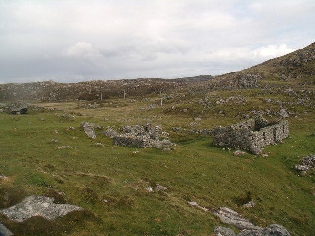
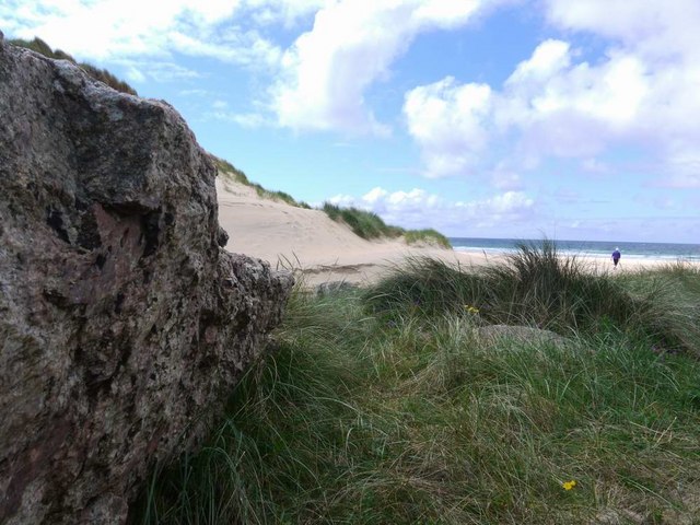
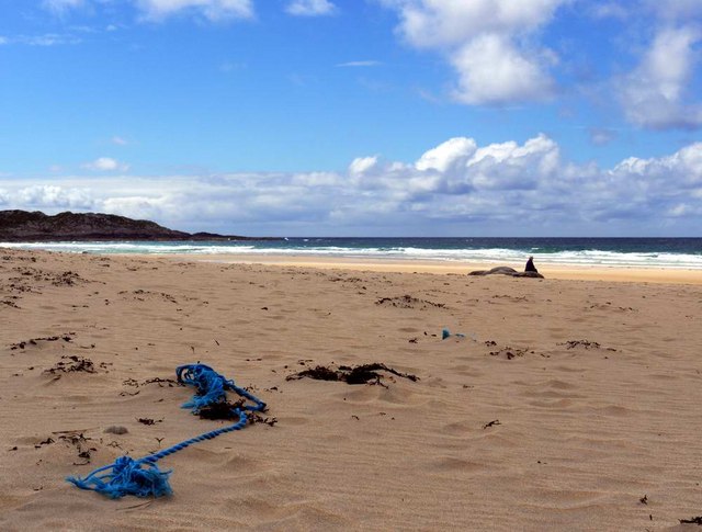
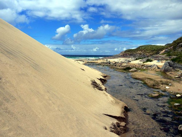
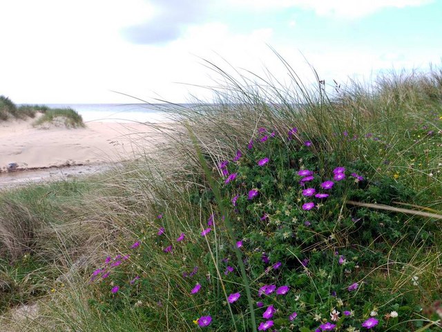
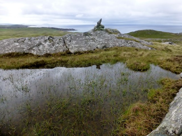
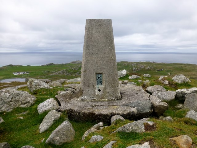
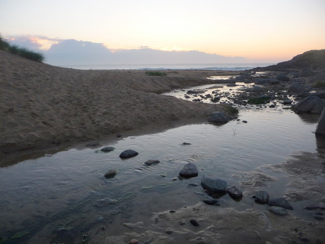
Ben Hogh Images

Images are sourced within 2km of 56.626249/-6.5938419 or Grid Reference NM1857. Thanks to Geograph Open Source API. All images are credited.

Moorland near Loch Cliad, Isle of Coll Although not clearly defined in this picture, what may be a peat road runs beside the ruined of an old dyke in moorland to the west of Loch Cliad.
Moorland near Loch Cliad, Isle of Coll
Although not clearly defined in this picture, what may be a peat road runs beside the ruined of an old dyke in moorland to the west of Loch Cliad.
Traigh Hogh
Traigh Hogh
Hogh Bay
Hogh Bay
Traigh Hogh In the distance a herd of cows can be seen on the beach.
Traigh Hogh
In the distance a herd of cows can be seen on the beach.
Township remains, Ben Hogh
The approach to Hogh Bay Yet another of Coll's glorious beaches.
The approach to Hogh Bay
Yet another of Coll's glorious beaches.
The glorious beach at Traigh Hogh Sadly, the flotsam of modern plastic-ridden life is always with us.
The glorious beach at Traigh Hogh
Sadly, the flotsam of modern plastic-ridden life is always with us.
Burn and dune at Traigh Hogh Set on Coll's west coast, Traigh Hogh (Hogh Shore/Beach) is just one of the many beautiful, deserted beaches on this island.
Burn and dune at Traigh Hogh
Set on Coll's west coast, Traigh Hogh (Hogh Shore/Beach) is just one of the many beautiful, deserted beaches on this island.
Bloody cranesbill at Traigh Hogh This beautiful relative of the geranium family blooms widely on the Coll machair in June - whole banks are stained purple with the flowers.
Bloody cranesbill at Traigh Hogh
This beautiful relative of the geranium family blooms widely on the Coll machair in June - whole banks are stained purple with the flowers.
The track from Ballyhaugh to Totronald The purple blossoms of bloody cranesbill in banks by the track.
The track from Ballyhaugh to Totronald
The purple blossoms of bloody cranesbill in banks by the track.
Flowers of the Coll machair The purple of bloody cranesbill to the fore.
Flowers of the Coll machair
The purple of bloody cranesbill to the fore.
Ben Hogh Bagged trig and then the real top with Iain Brown and Martin Richardson before a circuit of 3 more TuMPs on an improving afternoon.

Name: Ben Hogh
Hill number: 4817
Height: 106m / 348ft
Parent (Ma/M): none
Area: 17F: Coll and Tiree
Class: Hu,1
Grid ref: NM 18357 57709
Summit feature: cairn on SE top
Drop: 106m
Col: Sea
Ben Hogh
Bagged trig and then the real top with Iain Brown and Martin Richardson before a circuit of 3 more TuMPs on an improving afternoon. Name: Ben Hogh Hill number: 4817 Height: 106m / 348ft Parent (Ma/M): none Area: 17F: Coll and Tiree Class: Hu,1 Grid ref: NM 18357 57709 Summit feature: cairn on SE top Drop: 106m Col: Sea
Ben Hogh Trig Ben Hogh trig point on the Isle of Coll which is some way from the actual summit of Ben Hogh.
Ben Hogh Trig
Ben Hogh trig point on the Isle of Coll which is some way from the actual summit of Ben Hogh.
Cnocan na Ban Cnocan na Ban summit with a view back towards Ben Hogh. Second TuMP on a circuit of four with Iain Brown and Martin Richardson.
Name: Cnocan na Ban
Hill number: 10420
Height: 90m / 295ft
Parent (Ma/M): none
Area: 17F: Coll and Tiree
Class: 0
Grid ref: NM 19429 57655
Summit feature: rock outcrop
Drop: 49m
Col: 41m  NM189573
Cnocan na Ban
Cnocan na Ban summit with a view back towards Ben Hogh. Second TuMP on a circuit of four with Iain Brown and Martin Richardson. Name: Cnocan na Ban Hill number: 10420 Height: 90m / 295ft Parent (Ma/M): none Area: 17F: Coll and Tiree Class: 0 Grid ref: NM 19429 57655 Summit feature: rock outcrop Drop: 49m Col: 41m NM189573
Dun Dubh Third TuMP of circuit of four with Iain Brown and Martin Richardson. This is the view from the lower of the three likely high points back towards the other two. The actual summit is on the left of the two.
Name: Dun Dubh
Hill number: 10475
Height: 69m / 226ft
Parent (Ma/M): none
Area: 17F: Coll and Tiree
Class: 0
Grid ref: NM 18520 59197
Summit feature: rock in heather
Drop: 31m
Col: 38m  NM186588
Dun Dubh
Third TuMP of circuit of four with Iain Brown and Martin Richardson. This is the view from the lower of the three likely high points back towards the other two. The actual summit is on the left of the two. Name: Dun Dubh Hill number: 10475 Height: 69m / 226ft Parent (Ma/M): none Area: 17F: Coll and Tiree Class: 0 Grid ref: NM 18520 59197 Summit feature: rock in heather Drop: 31m Col: 38m NM186588
Beinn Tioraidh Fourth TuMP of circuit of four with Iain Brown and Martin Richardson.
Name: Beinn Tioraidh
Hill number: 10498
Height: 60m / 197ft
Parent (Ma/M): none
Area: 17F: Coll and Tiree
Class: 0
Grid ref: NM 17544 58432
Summit feature: rock outcrop
Drop: 32m
Col: 28m  NM180584
Beinn Tioraidh
Fourth TuMP of circuit of four with Iain Brown and Martin Richardson. Name: Beinn Tioraidh Hill number: 10498 Height: 60m / 197ft Parent (Ma/M): none Area: 17F: Coll and Tiree Class: 0 Grid ref: NM 17544 58432 Summit feature: rock outcrop Drop: 32m Col: 28m NM180584
Isle of Coll: stepping stones to Hogh Bay The wonderful beach is accessed by crossing an unnamed stream, this being probably the easiest crossing place.
Isle of Coll: stepping stones to Hogh Bay
The wonderful beach is accessed by crossing an unnamed stream, this being probably the easiest crossing place.
Show me another place!

Ben Hogh is located at Grid Ref: NM1857 (Lat: 56.626249, Lng: -6.5938419)

Unitary Authority: Argyll and Bute

Police Authority: Argyll and West Dunbartonshire

What 3 Words

///mended.digests.padlock. Near Arinagour, Argyll & Bute

Nearby Locations

Ben Hogh

Related Wikis

Totamore dun

Totamore Dun is a dun located at grid reference NM17625713; near the settlement of Totamore, on the Inner Hebridean island of Coll. It occupies the summit...
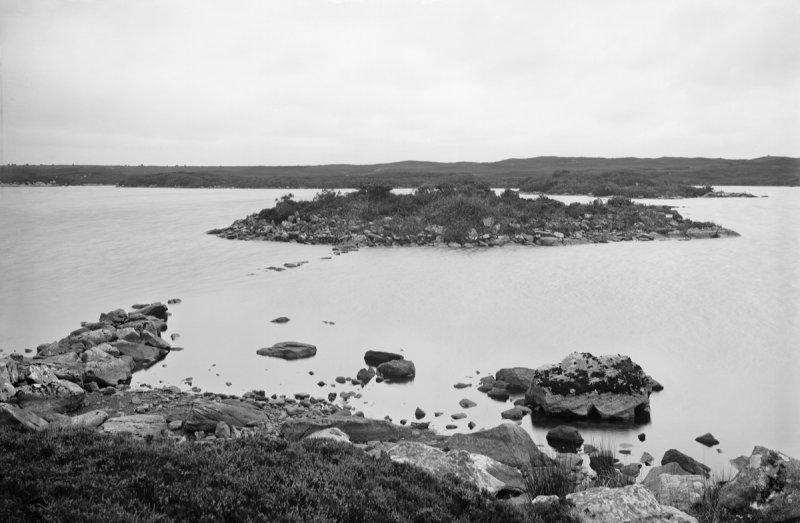
Dùn Anlaimh

Dùn Anlaimh, also known as Dùn Amhlaidh, and Eilean nan Cinneachan, is a crannog (an artificial island), located within Loch nan Cinneachan on the Inner...

An Caisteal (Coll)

An Caisteal (English: The Castle) is a hill fort located on the island of Coll. This island is one of the islands which make up the Inner Hebrides located...

Dùn Dubh

Dùn Dubh is a hillfort, located on the Inner Hebridean island of Coll. The fort is one of three associated with a local tradition which states that they...

Nearby Amenities

Located within 500m of 56.626249,-6.5938419
Ben Hogh
Ele: 103
Ele Ft: 339
Natural: peak
Source: OS7
Lat/Long: 56.6292951/-6.5981477
Stane o' th' Deil
Natural: rock
Lat/Long: 56.6297785/-6.5983876
The data included in this document is from www.openstreetmap.org. The data is made available under ODbL.

Have you been to Ben Hogh?

Leave your review of Ben Hogh below (or comments, questions and feedback).