Cnoc an t-Sidhein
Hill, Mountain in Argyllshire
Scotland
Cnoc an t-Sidhein
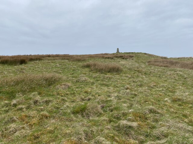
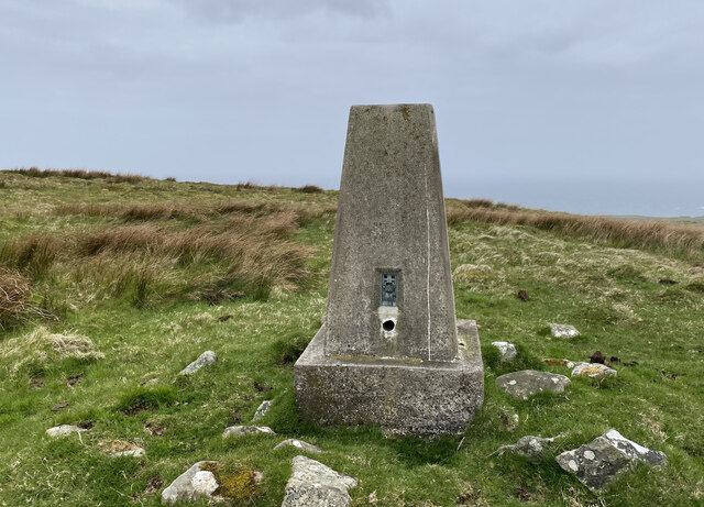
Cnoc an t-Sidhein is a prominent hill located in the region of Argyllshire, Scotland. Situated in the western part of the country, it is part of the picturesque landscape that characterizes this area. The hill stands at an elevation of approximately 614 meters (2,014 feet) above sea level, making it a notable landmark in the region.
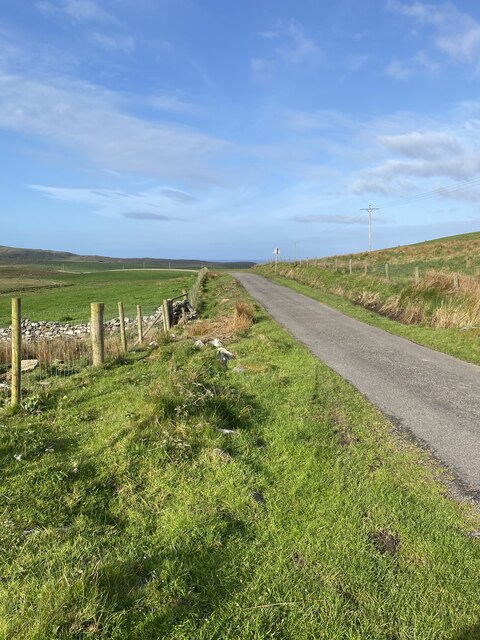
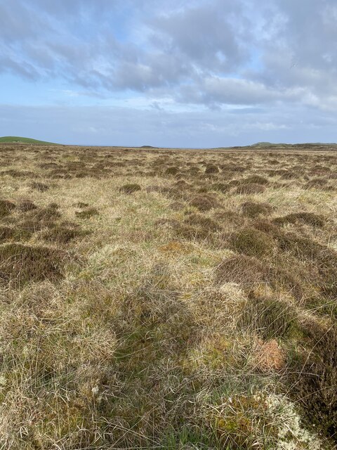
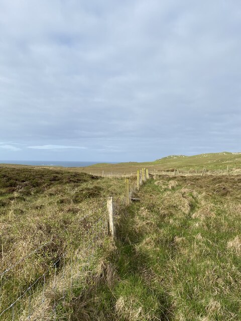
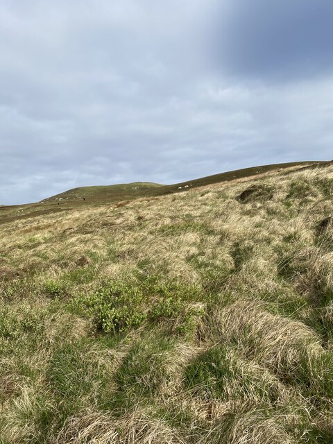
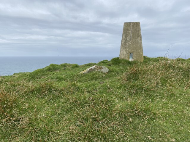
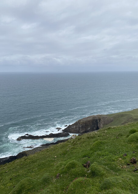
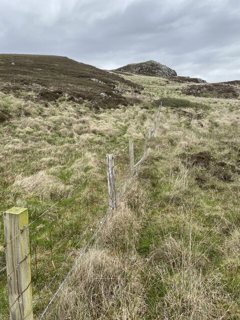
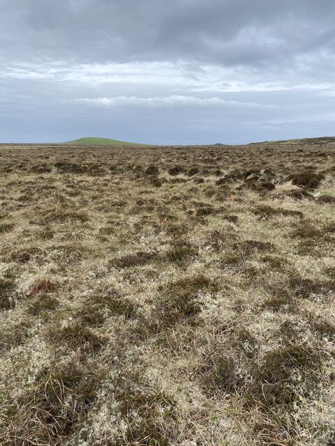
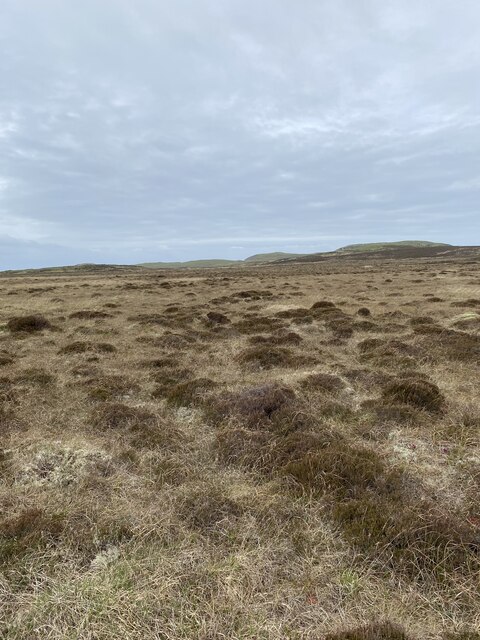
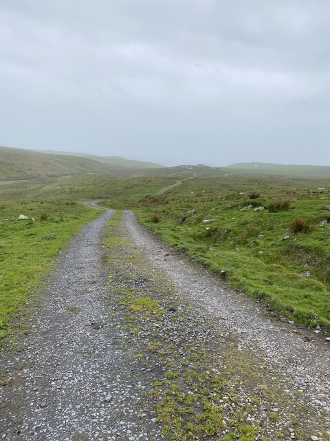
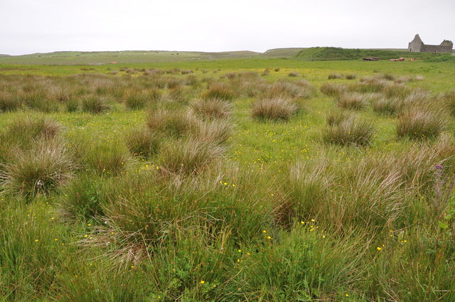
Cnoc an t-Sidhein is surrounded by stunning natural beauty, with its slopes covered in heather and grasses, providing a lush green backdrop. This hill offers breathtaking views of the surrounding countryside, including the nearby Loch Awe, one of Scotland's largest freshwater lochs. On clear days, visitors can also enjoy panoramic vistas of the distant mountains that form the backdrop of the landscape.
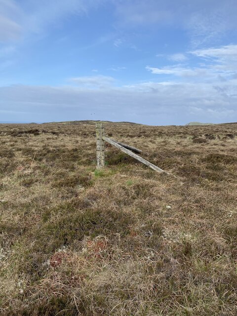
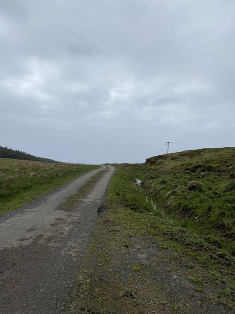
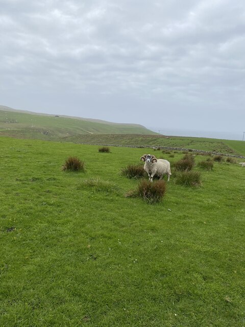
The hill is a popular destination for hikers and outdoor enthusiasts, attracting visitors throughout the year. Several walking trails and footpaths allow visitors to explore the hill and its surroundings, providing opportunities for both casual walks and more challenging hikes. The diverse flora and fauna found on the hill make it an ideal location for nature lovers and wildlife enthusiasts.
Cnoc an t-Sidhein is steeped in history and folklore, with its Gaelic name translating to "Fairy Hill." According to local legends, the hill is said to be inhabited by fairies and other mythical creatures. This adds an air of enchantment and intrigue to the hill, captivating the imagination of those who visit.
Overall, Cnoc an t-Sidhein is a captivating hill in Argyllshire, offering stunning views, diverse wildlife, and a touch of magic through its folklore and legends.
If you have any feedback on the listing, please let us know in the comments section below.
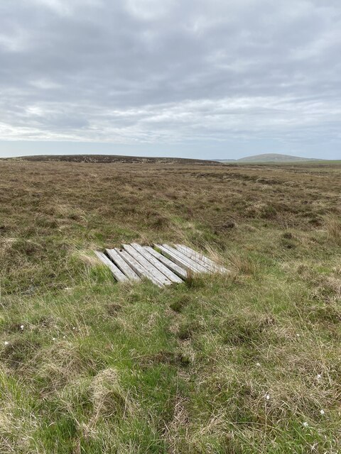
Cnoc an t-Sidhein Images
Images are sourced within 2km of 55.716137/-6.4886457 or Grid Reference NR1856. Thanks to Geograph Open Source API. All images are credited.
Cnoc an t-Sidhein is located at Grid Ref: NR1856 (Lat: 55.716137, Lng: -6.4886457)
Unitary Authority: Argyll and Bute
Police Authority: Argyll and West Dunbartonshire
What 3 Words
///restrict.goodbye.snuggled. Near Portnahaven, Argyll & Bute
Nearby Locations
Related Wikis

Easter Ellister
Easter Ellister (Aolastradh) is a settlement on the Rinns of Islay on Islay in the Inner Hebrides of Scotland. It lies just off the A847 road between Portnahaven...

Islay LIMPET
Islay LIMPET was the world's first commercial wave power device and was connected to the United Kingdom's National Grid. == History == Islay LIMPET (Land...

Rinns of Islay
The Rinns of Islay (Scottish Gaelic: Na Roinn Ìleach; alternative English spelling Rhinns of Islay) is an area on the west of the island of Islay in the...

Portnahaven
Portnahaven (Scottish Gaelic: Port na h-Abhainne, meaning river port) is a village on Islay in the Inner Hebrides, Scotland. The village is within the...

Eilean Mhic Coinnich
Eilean Mhic Coinnich, also known as Mackenzie Island (although recorded on the Land Register as McKenseys Island), is an uninhabited island of 17.3 hectares...

Nerabus
Nerabus (otherwise Nereabolls) is a hamlet in the west of the isle of Islay in Scotland. The vicinity is noted for its scenic qualities and diverse birdlife...

Orsay, Inner Hebrides
Orsay (Scottish Gaelic: Orasaigh) is a small island in the Inner Hebrides of Scotland. It lies a short distance off the west coast of the island of Islay...

RAF Kilchiaran
RAF Kilchiaran was a Royal Air Force radar station situated on the Isle of Islay in Scotland. It was originally active from 1940-1945. In 1954 the base...
Nearby Amenities
Located within 500m of 55.716137,-6.4886457Have you been to Cnoc an t-Sidhein?
Leave your review of Cnoc an t-Sidhein below (or comments, questions and feedback).