Beinn Ghlas
Hill, Mountain in Argyllshire
Scotland
Beinn Ghlas
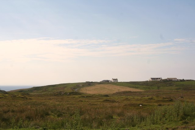
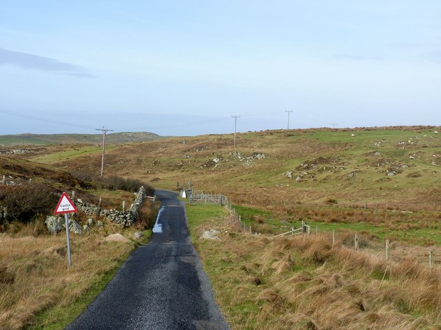
Beinn Ghlas is a prominent hill located in Argyllshire, Scotland. It forms part of the Grampian Mountains range, which stretches across the central and eastern regions of the country. Rising to an elevation of approximately 1,103 meters (3,619 feet), Beinn Ghlas is a popular destination for hikers and outdoor enthusiasts.
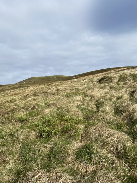
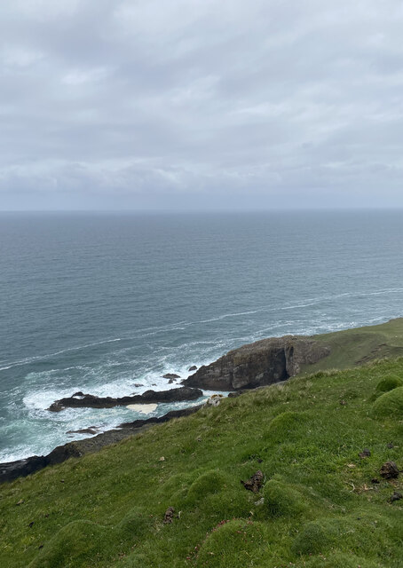
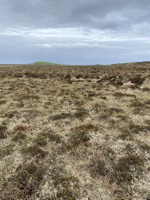
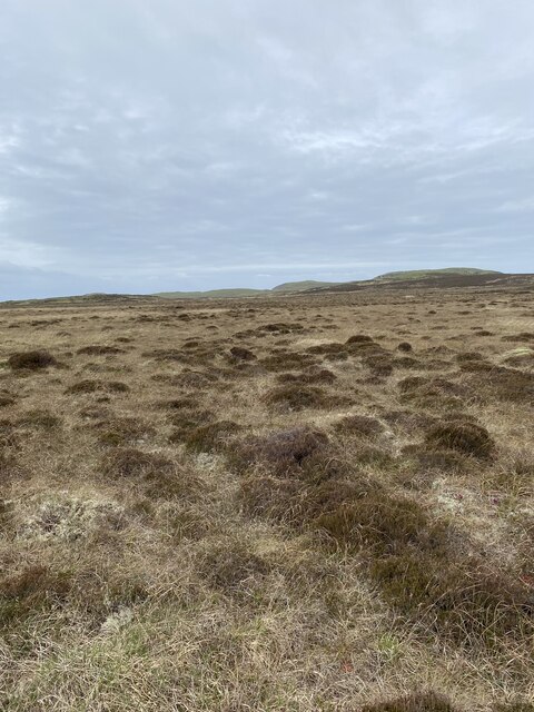
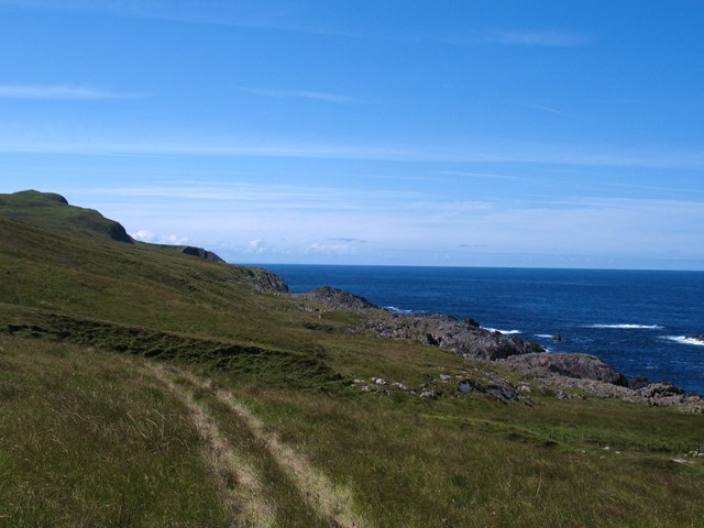
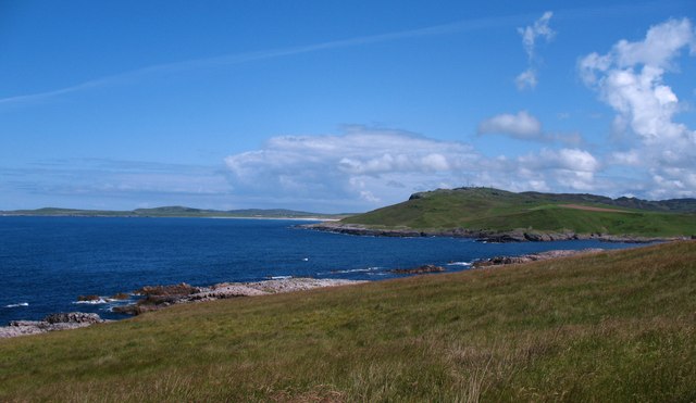
The hill is renowned for its picturesque beauty, with its slopes covered in lush green vegetation and dotted with scattered rocky outcrops. It offers breathtaking panoramic views of the surrounding landscape, including nearby Loch Awe and the surrounding glens. On clear days, it is even possible to catch a glimpse of the neighboring Munros, such as Ben Cruachan and Ben Lui.
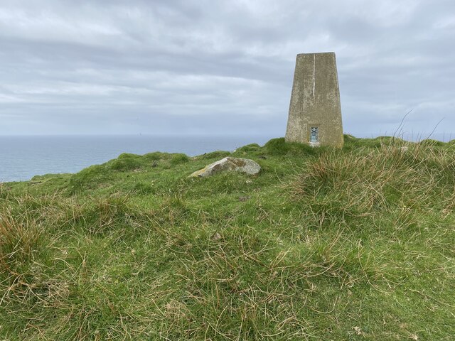
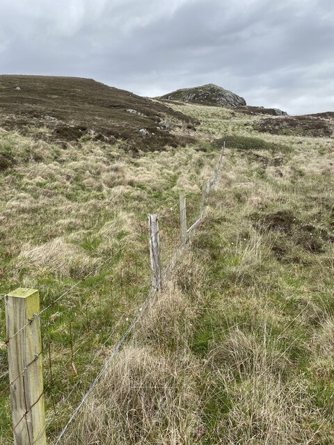
The ascent to the summit of Beinn Ghlas can be challenging, with steep inclines and rocky terrain. However, the reward is well worth the effort, as the summit provides an unrivaled view of the surrounding countryside. Hikers are advised to come prepared with proper gear and to be mindful of changing weather conditions, as the hill can be subject to sudden changes in temperature and visibility.
The hill is also home to a diverse range of flora and fauna. Heather, mosses, and wildflowers can be found carpeting the lower slopes, while higher up, hardy alpine plants cling to the rocky crags. Wildlife enthusiasts may spot red deer, mountain hares, and a variety of bird species, including golden eagles and ptarmigans.
Overall, Beinn Ghlas offers a unique and rewarding hiking experience for those seeking to explore the rugged beauty of the Scottish Highlands.
If you have any feedback on the listing, please let us know in the comments section below.
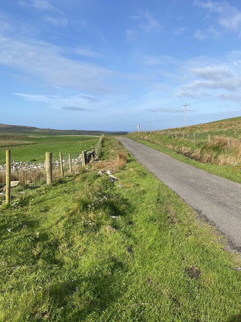
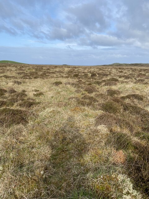
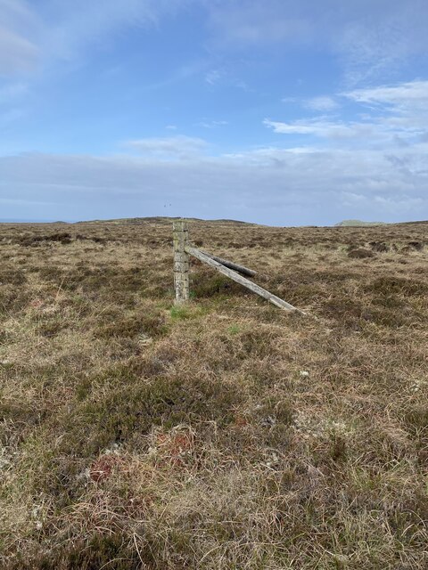
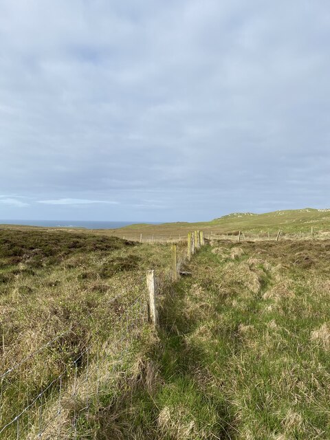
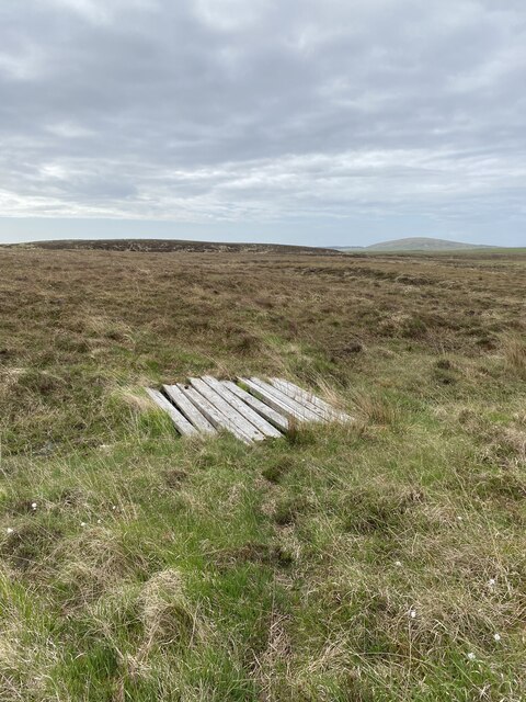
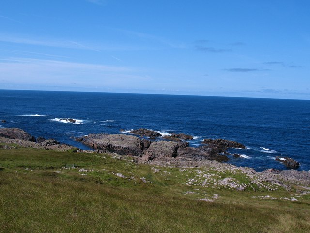
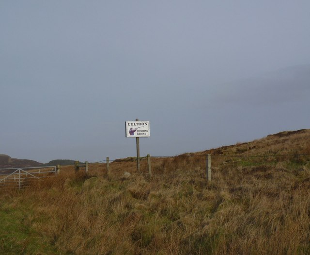
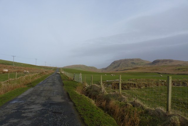
Beinn Ghlas Images
Images are sourced within 2km of 55.734323/-6.493128 or Grid Reference NR1858. Thanks to Geograph Open Source API. All images are credited.
Beinn Ghlas is located at Grid Ref: NR1858 (Lat: 55.734323, Lng: -6.493128)
Unitary Authority: Argyll and Bute
Police Authority: Argyll and West Dunbartonshire
What 3 Words
///stilted.unspoiled.replaces. Near Portnahaven, Argyll & Bute
Nearby Locations
Related Wikis

Rinns of Islay
The Rinns of Islay (Scottish Gaelic: Na Roinn Ìleach; alternative English spelling Rhinns of Islay) is an area on the west of the island of Islay in the...

RAF Kilchiaran
RAF Kilchiaran was a Royal Air Force radar station situated on the Isle of Islay in Scotland. It was originally active from 1940-1945. In 1954 the base...

Easter Ellister
Easter Ellister (Aolastradh) is a settlement on the Rinns of Islay on Islay in the Inner Hebrides of Scotland. It lies just off the A847 road between Portnahaven...

Islay LIMPET
Islay LIMPET was the world's first commercial wave power device and was connected to the United Kingdom's National Grid. == History == Islay LIMPET (Land...
Have you been to Beinn Ghlas?
Leave your review of Beinn Ghlas below (or comments, questions and feedback).