Cnoc na Rainich
Hill, Mountain in Argyllshire
Scotland
Cnoc na Rainich
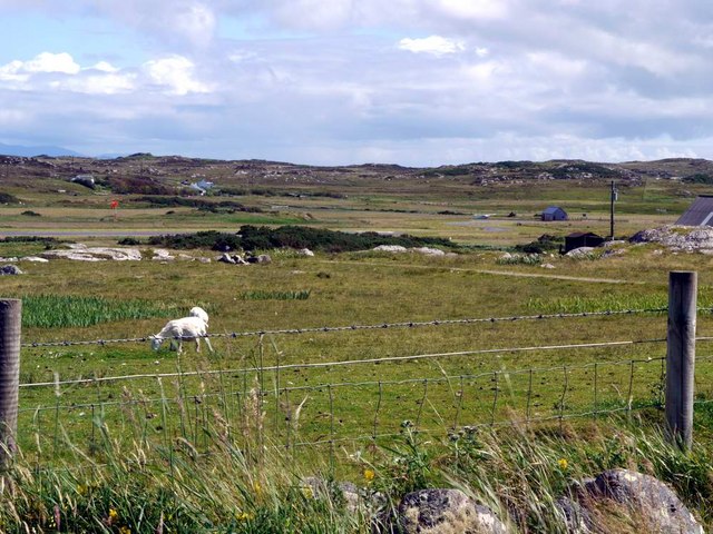
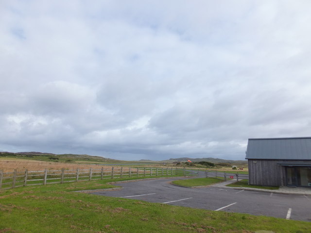
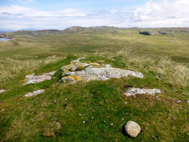
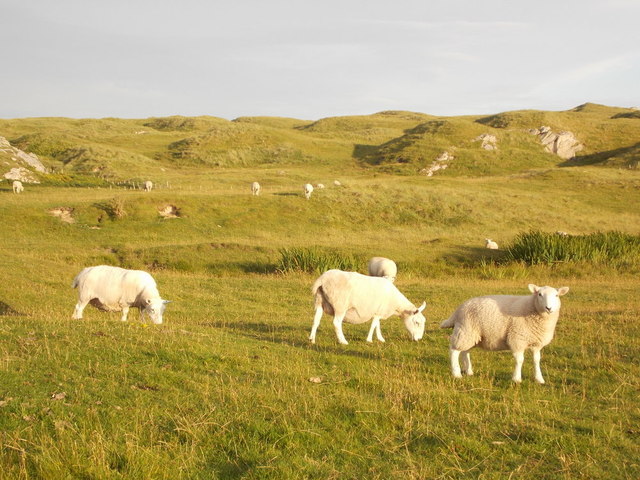
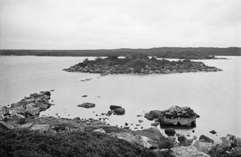
Cnoc na Rainich is a prominent hill located in Argyllshire, Scotland. It is situated near the village of Taynuilt, approximately 12 miles northeast of Oban. With an elevation of 282 meters (925 feet), it offers stunning panoramic views of the surrounding countryside and nearby Loch Etive.
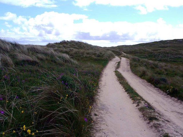
The hill is characterized by its distinct cone-shaped summit, which is covered in heather and grass. It is a popular destination for outdoor enthusiasts, including hikers and walkers, who are drawn to its accessible trails and breathtaking vistas. The ascent to the summit is relatively easy, making it suitable for people of all fitness levels.
Cnoc na Rainich is also notable for its rich historical and cultural significance. It is believed to have been an important site for ancient rituals and gatherings, with evidence of prehistoric settlements and burial mounds found in the surrounding area. The hill's Gaelic name translates to "Hill of Ferns," further reflecting its connection to the natural landscape.
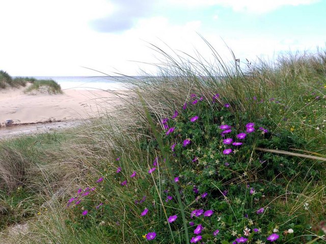
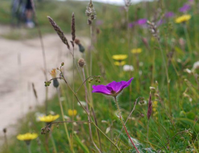
Visitors to Cnoc na Rainich can enjoy a variety of activities, including picnicking, wildlife spotting, and photography. The hill is home to a diverse range of flora and fauna, including various bird species and wildflowers. During the spring and summer months, the hillside bursts with vibrant colors, creating a picturesque backdrop for nature enthusiasts and photographers.
Overall, Cnoc na Rainich offers a rewarding outdoor experience, combining natural beauty, historical intrigue, and recreational opportunities.
If you have any feedback on the listing, please let us know in the comments section below.
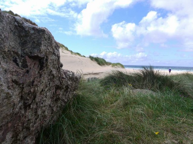
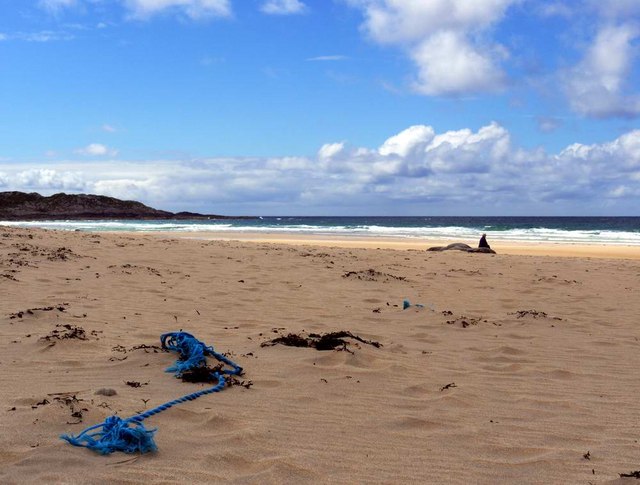
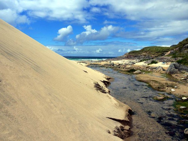
Cnoc na Rainich Images
Images are sourced within 2km of 56.615392/-6.6260625 or Grid Reference NM1656. Thanks to Geograph Open Source API. All images are credited.

Cnoc na Rainich is located at Grid Ref: NM1656 (Lat: 56.615392, Lng: -6.6260625)
Unitary Authority: Argyll and Bute
Police Authority: Argyll and West Dunbartonshire
What 3 Words
///duty.mermaids.stirs. Near Arinagour, Argyll & Bute
Nearby Locations
Related Wikis

Dùn Beic
Dùn Beic is a dun located on the Inner Hebridean island of Coll. It is located at grid reference NM15495644 and is thought to date to between 1000 BCE...

Totamore dun
Totamore Dun is a dun located at grid reference NM17625713; near the settlement of Totamore, on the Inner Hebridean island of Coll. It occupies the summit...

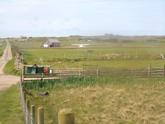
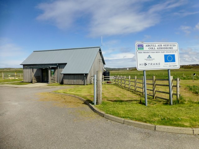
Coll Airport
Coll Island Airport (IATA: COL, ICAO: EGEL) (Scottish Gaelic: Port-adhair Cholla) is located 5 NM (9.3 km; 5.8 mi) west southwest of Arinagour on the island...

An Caisteal (Coll)
An Caisteal (English: The Castle) is a hill fort located on the island of Coll. This island is one of the islands which make up the Inner Hebrides located...
Dùn Anlaimh
Dùn Anlaimh, also known as Dùn Amhlaidh, and Eilean nan Cinneachan, is a crannog (an artificial island), located within Loch nan Cinneachan on the Inner...

Breachacha Castle
Breachacha Castle (also spelled Breacachadh) is either of two structures on the shore of Loch Breachacha, on the Inner Hebridean island of Coll, Scotland...

Dùn an Achaidh
Dùn an Achaidh, sometimes Anglicised as Dun Acha, is a dun located near the village of Acha on the Inner Hebridean island of Coll. It is considered the...

Acha, Coll
Acha (Gaelic: An t-Achadh, tranlsating to "The Field") is a small hamlet on the Scottish island of Coll. == References == == See also == Dùn an Achaidh...
Nearby Amenities
Located within 500m of 56.615392,-6.6260625Have you been to Cnoc na Rainich?
Leave your review of Cnoc na Rainich below (or comments, questions and feedback).