Cnoc an Uillt

Hill, Mountain in Ross-shire

Scotland

Cnoc an Uillt

Camas Bastadh/Bostadh Spelled differently on the map and gazetteer.
Camas Bastadh/Bostadh Credit: John Lucas

Cnoc an Uillt, also known as Ullapool Hill, is a prominent hill located in the county of Ross-shire, in the Scottish Highlands. Rising to an elevation of 231 meters (758 feet), it offers breathtaking panoramic views of the surrounding area, including the picturesque village of Ullapool, Loch Broom, and the vast expanse of the North Atlantic Ocean beyond.

The hill is often referred to as a "Marilyn," which means it is classified as a hill with a prominence of at least 150 meters (492 feet). Its distinctive shape and relatively accessible trails make it a popular destination for hikers and nature enthusiasts. The ascent is gentle and can be completed in approximately one hour, making it suitable for individuals of varying fitness levels.

At the summit of Cnoc an Uillt, visitors are rewarded with remarkable vistas of the surrounding landscape. On a clear day, the view stretches across the village and its harbor, with the nearby mountain peaks of An Teallach and Beinn Ghoblach providing a stunning backdrop. It is also a fantastic spot for birdwatching, with the possibility of spotting various species such as eagles, buzzards, and even ospreys.

The hill is easily accessible from Ullapool, with a well-marked path leading from the village to the summit. Along the way, walkers may encounter a variety of flora and fauna, including heather, bracken, and a diverse range of bird species. Cnoc an Uillt offers visitors an opportunity to immerse themselves in the natural beauty of the Scottish Highlands and enjoy a rewarding outdoor experience.

If you have any feedback on the listing, please let us know in the comments section below.

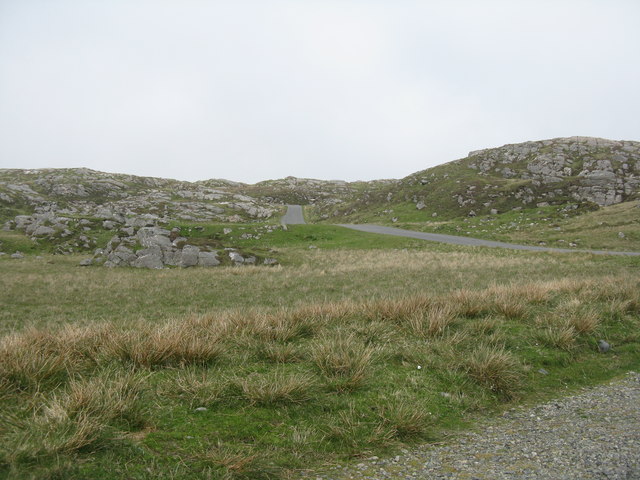
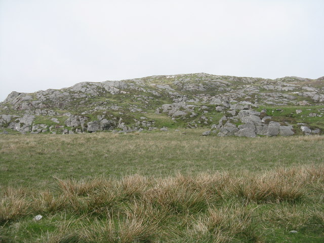
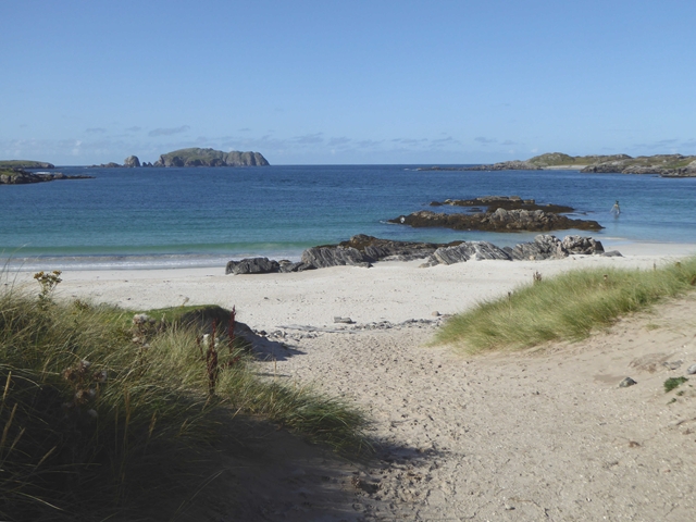
Cnoc an Uillt Images

Images are sourced within 2km of 58.242356/-6.8636254 or Grid Reference NB1438. Thanks to Geograph Open Source API. All images are credited.

Camas Bastadh/Bostadh Spelled differently on the map and gazetteer.
Camas Bastadh/Bostadh
Spelled differently on the map and gazetteer.
The cemetery at Bostadh Perhaps not a surprising number of burials for such a remote location, as it is a very desirable place to be laid to rest.
The cemetery at Bostadh
Perhaps not a surprising number of burials for such a remote location, as it is a very desirable place to be laid to rest.
The road to Bostadh With Siaram Bostadh in mid view on the left side.
The road to Bostadh
With Siaram Bostadh in mid view on the left side.
Bostadh Iron Age House The reconstructed house, viewed looking south.
Bostadh Iron Age House
The reconstructed house, viewed looking south.
Information about Bostadh Iron Age Village The Gaelic version.
Information about Bostadh Iron Age Village
The Gaelic version.
Information about Bostadh Iron Age Village The English version.
Information about Bostadh Iron Age Village
The English version.
Public convenience at Bostadh Near the end of the road at the cemetery and Iron Age Village.
Public convenience at Bostadh
Near the end of the road at the cemetery and Iron Age Village.
Camas Bostadh Sand dunes at Bostadh, looking to a cloud-covered Flodaigh.
Camas Bostadh
Sand dunes at Bostadh, looking to a cloud-covered Flodaigh.
Iron Age Village at Bostadh A reconstructed house and, farther up the valley, traces of other houses.
Iron Age Village at Bostadh
A reconstructed house and, farther up the valley, traces of other houses.
Garden Tiger Moth larva A larva of Arctia caja on the path close to the Iron Age house at Bostadh. Thin plant growth on sand, with clear signs of rabbit grazing.
Garden Tiger Moth larva
A larva of Arctia caja on the path close to the Iron Age house at Bostadh. Thin plant growth on sand, with clear signs of rabbit grazing.
Iron Age House at Bostadh The inland end. Beyond is the path down from the car park.
Iron Age House at Bostadh
The inland end. Beyond is the path down from the car park.
Entrance to the Iron Age House A gap in the surrounding wall leads to the top of steps leading down to an underground entrance.
Entrance to the Iron Age House
A gap in the surrounding wall leads to the top of steps leading down to an underground entrance.
Iron Age House Underground doorway at the foot of the entrance steps. It is possible to go inside when the site is open.
Iron Age House
Underground doorway at the foot of the entrance steps. It is possible to go inside when the site is open.
Steps at the Iron Age House Leading up from the underground entrance.
Steps at the Iron Age House
Leading up from the underground entrance.
The road from Bostadh Near the cul-de-sac by the cemetery and Iron Age Village, at the northern end of Great Bernera/Beàrnaraigh.
The road from Bostadh
Near the cul-de-sac by the cemetery and Iron Age Village, at the northern end of Great Bernera/Beàrnaraigh.
Cnoc Ruinagaidh A rocky out crop near the roadend at Bostadh.
Cnoc Ruinagaidh
A rocky out crop near the roadend at Bostadh.
Perch in Caolas Bearnaraigh Beag I was intrigued as I paddled along Caolas Bearnaraigh Beag to see this rusting metal pillar, looking for all the world like a misplaced lamppost. The large-scale map shows rocks here, which certainly weren't obvious from the water in these calm conditions, so this perch fulfils the important purpose of marking the rocks for the benefit of those in boats not of a sufficiently shallow draught to pass over them. There is no light, and I imagine it would be pretty hard to see in the dark, but I suspect that, sea kayakers apart, there is not much other than local traffic here, with skippers who know the water.
Perch in Caolas Bearnaraigh Beag
I was intrigued as I paddled along Caolas Bearnaraigh Beag to see this rusting metal pillar, looking for all the world like a misplaced lamppost. The large-scale map shows rocks here, which certainly weren't obvious from the water in these calm conditions, so this perch fulfils the important purpose of marking the rocks for the benefit of those in boats not of a sufficiently shallow draught to pass over them. There is no light, and I imagine it would be pretty hard to see in the dark, but I suspect that, sea kayakers apart, there is not much other than local traffic here, with skippers who know the water.
The beach at Bostadh The Island of Bearasaigh on the horizon.
The beach at Bostadh
The Island of Bearasaigh on the horizon.
Show me another place!

Cnoc an Uillt is located at Grid Ref: NB1438 (Lat: 58.242356, Lng: -6.8636254)

Unitary Authority: Na h-Eileanan an Iar

Police Authority: Highlands and Islands

What 3 Words

///winds.implanted.ombudsman. Near Carloway, Na h-Eileanan Siar

Related Wikis

Bernera Riot

The Bernera Riot occurred in 1874, on the island of Great Bernera, in Scotland in response to the Highland Clearances. The use of the term 'Bernera Riot...

Great Bernera

Great Bernera (; Scottish Gaelic: Beàrnaraigh Mòr), often known just as Bernera (Scottish Gaelic: Beàrnaraigh), is an island and community in the Outer...

Breaclete

Breacleit (or Roulanish; Scottish Gaelic: Breacleit; Old Norse: Breiðiklettr) is the central village on Great Bernera in the Outer Hebrides, Scotland....

Little Bernera

Little Bernera (Scottish Gaelic: Beàrnaraigh Beag) is a small island situated off the west coast of the Isle of Lewis in the Outer Hebrides.Little Bernera...

Nearby Amenities

Located within 500m of 58.242356,-6.8636254
Passing Place
Lat/Long: 58.2381263/-6.8609663
Passing Place
Lat/Long: 58.2425452/-6.8671837
Passing Place
Lat/Long: 58.242085/-6.8643244
Passing Place
Lat/Long: 58.2388294/-6.8629512
Passing Place
Lat/Long: 58.2382731/-6.8620338
Power: pole
Lat/Long: 58.2425737/-6.8709253
Power: pole
Lat/Long: 58.2424335/-6.8699592
Power: pole
Lat/Long: 58.2423242/-6.8690948
Power: pole
Lat/Long: 58.2421638/-6.867964
Power: pole
Lat/Long: 58.2419537/-6.8666881
Power: pole
Lat/Long: 58.2413811/-6.865963
Power: pole
Lat/Long: 58.24068/-6.8656595
Power: pole
Lat/Long: 58.2404163/-6.8651359
Power: pole
Lat/Long: 58.2400302/-6.8642737
Power: pole
Lat/Long: 58.2394718/-6.8635085
Power: pole
Lat/Long: 58.2390619/-6.862863
Power: pole
Lat/Long: 58.2386413/-6.8621227
Power: pole
Lat/Long: 58.2382505/-6.8615945
Power: pole
Lat/Long: 58.242234/-6.8661187
Power: pole
Lat/Long: 58.2428352/-6.866859
Power: pole
Lat/Long: 58.2431446/-6.8672539
Power: pole
Lat/Long: 58.2431292/-6.8681847
Power: pole
Lat/Long: 58.2431183/-6.869105
Power: pole
Lat/Long: 58.2430995/-6.8698389
Generator Method: photovoltaic
Generator Output Electricity: small_installation
Generator Source: solar
Generator Type: solar_photovoltaic_panel
Power: generator
Lat/Long: 58.2399317/-6.8646669
Barrier: cattle_grid
Lat/Long: 58.242499/-6.8671949
Passing Place
Lat/Long: 58.2424042/-6.8653561
Barrier: cattle_grid
Lat/Long: 58.2424404/-6.8664117
Passing Place
Lat/Long: 58.2430038/-6.8704274
Barrier: cattle_grid
Lat/Long: 58.2430898/-6.8703707
Barrier: cattle_grid
Lat/Long: 58.2427758/-6.8686009
Passing Place
Lat/Long: 58.2399208/-6.863548
Passing Place
Lat/Long: 58.2412724/-6.8642375
The data included in this document is from www.openstreetmap.org. The data is made available under ODbL.

Have you been to Cnoc an Uillt?

Leave your review of Cnoc an Uillt below (or comments, questions and feedback).