Cnoc an Òis
Hill, Mountain in Ross-shire
Scotland
Cnoc an Òis
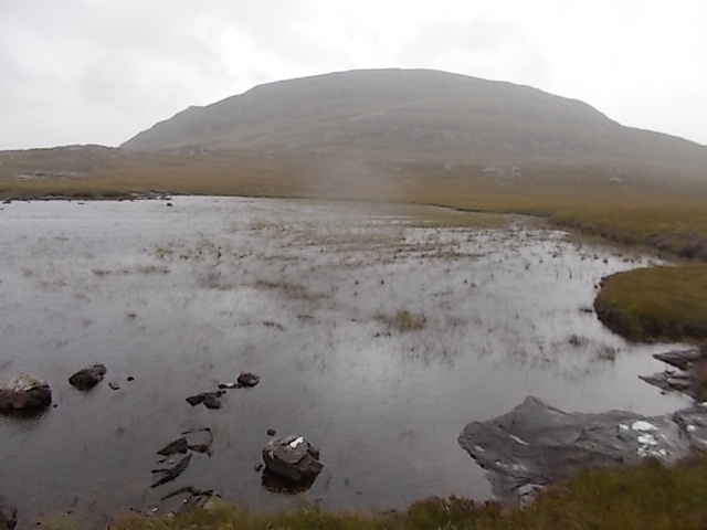
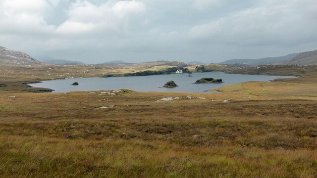
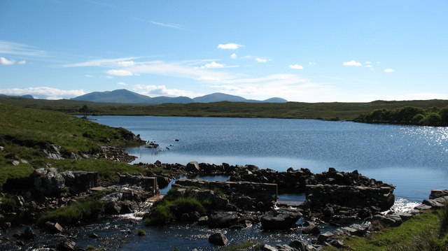
![View Towards Loch Ruadh Meadhanach A view towards Loch Ruadh Meadhanach from the lower slopes of Caultrashal Mor [Coltraiseal Mòr].](https://s3.geograph.org.uk/geophotos/03/69/37/3693795_acc940a3.jpg)
Cnoc an Òis is a prominent hill located in the county of Ross-shire, in the Highlands of Scotland. With an elevation of approximately 600 meters (1,969 feet), it offers breathtaking panoramic views of the surrounding area. The hill is situated near the village of Achnasheen, about 30 miles northwest of the city of Inverness.
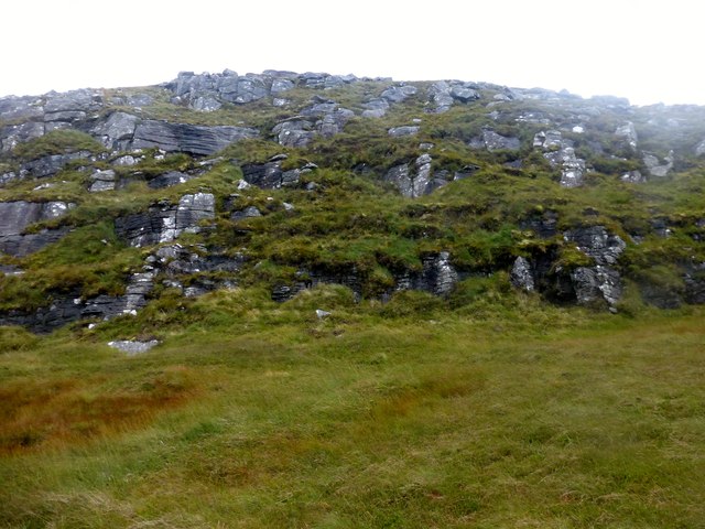
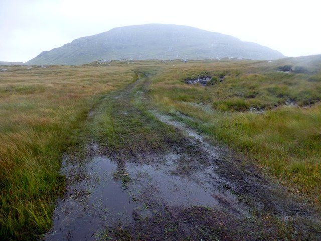
Cnoc an Òis is known for its rugged and rocky terrain, typical of the Scottish Highlands. Its slopes are covered in heather and grasses, creating a picturesque landscape that changes color with the seasons. The hill is a popular destination for hikers and nature enthusiasts, offering various trails to explore its diverse flora and fauna.
At the summit of Cnoc an Òis, visitors are rewarded with stunning vistas of the surrounding mountains, lochs, and glens. On a clear day, it is possible to see as far as the Isle of Skye and the Outer Hebrides. The hill also provides a vantage point for observing local wildlife, including red deer, golden eagles, and peregrine falcons.
Cnoc an Òis is steeped in history, with ancient cairns and stone structures scattered throughout its slopes. These archaeological remains suggest human occupation in the area dating back thousands of years. The hill holds cultural significance for the local community and is often used as a gathering place for traditional events and celebrations.
Overall, Cnoc an Òis offers a unique and captivating experience for those who venture to its summit. Its natural beauty, rich history, and breathtaking views make it a must-visit destination for anyone exploring the Highlands of Scotland.
If you have any feedback on the listing, please let us know in the comments section below.
Cnoc an Òis Images
Images are sourced within 2km of 58.096199/-6.8572605 or Grid Reference NB1322. Thanks to Geograph Open Source API. All images are credited.
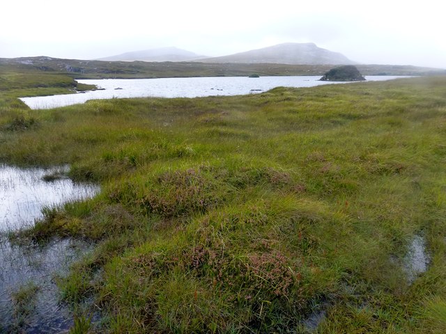


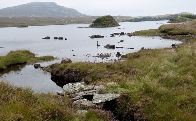
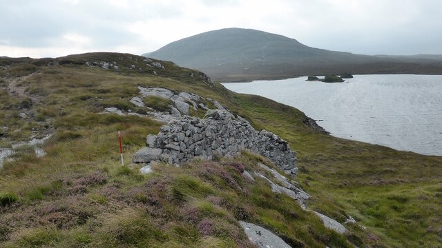
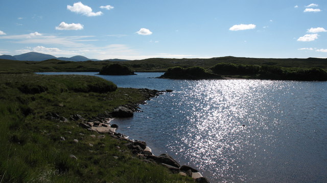
![Unnamed lochan near Morsgail Lodge The lochan is surrounded by wet moorland and exposed rock. The north end of Scalabhal [260m] rises behind.](https://s2.geograph.org.uk/photos/50/36/503614_0d56de70.jpg)
Cnoc an Òis is located at Grid Ref: NB1322 (Lat: 58.096199, Lng: -6.8572605)
Unitary Authority: Na h-Eileanan an Iar
Police Authority: Highlands and Islands
What 3 Words
///bins.typified.collect. Near Carloway, Na h-Eileanan Siar
Related Wikis

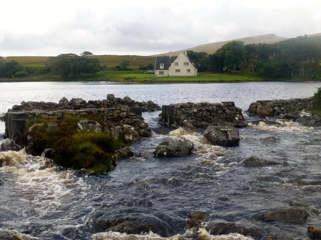
Gisla Hydro-Electric Scheme
Gisla Hydro-Electric Scheme was a small scheme promoted by the North of Scotland Hydro-Electric Board on the Isle of Lewis, Outer Hebrides, Scotland. It...

Eilean Mòr, Loch Langavat
Eilean Mòr is an island in Loch Langavat on the Isle of Lewis in the Outer Hebrides of Scotland. == Footnotes ==
Nearby Amenities
Located within 500m of 58.096199,-6.8572605Have you been to Cnoc an Òis?
Leave your review of Cnoc an Òis below (or comments, questions and feedback).