Uabhal Mòr

Hill, Mountain in Inverness-shire

Scotland

Uabhal Mòr

Road on Harris
Road on Harris Credit: Ralph Greig

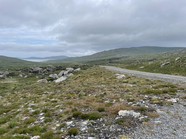
Uabhal Mòr is a prominent hill located in Inverness-shire, Scotland. It stands at an impressive height of 909 meters (2,982 feet) and is part of the Northwest Highlands, a region known for its rugged and picturesque landscapes.

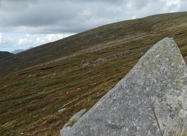
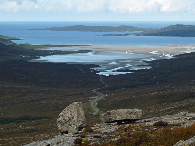
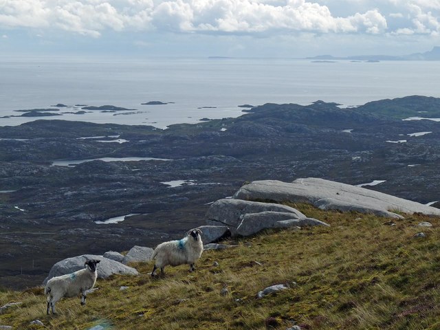
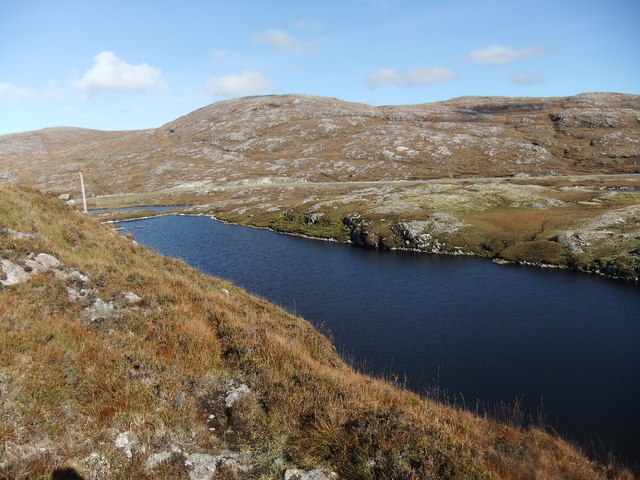
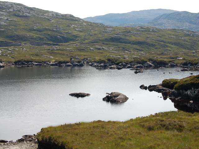
Situated in the Glen Shiel mountain range, Uabhal Mòr offers breathtaking panoramic views of the surrounding area. Its summit provides a vantage point from which one can admire the stunning vistas of Loch Duich, Loch Cluanie, and the surrounding peaks, including the famous Five Sisters of Kintail.

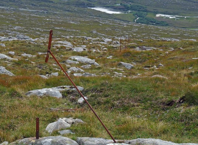
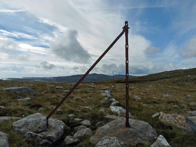
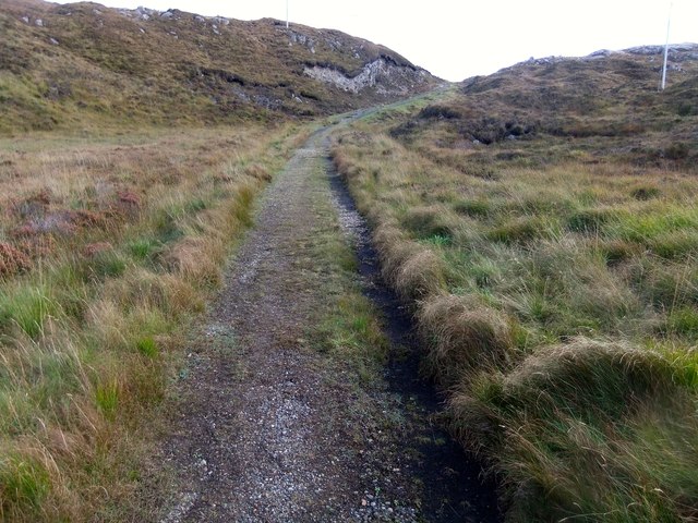
The ascent to Uabhal Mòr can be challenging, with steep slopes and rocky terrain. However, it is a popular destination for hikers and mountaineers who seek to conquer its summit and experience the thrill of reaching its highest point. The hill is often included in the list of Munros, which are Scottish mountains over 3,000 feet (914 meters) in height, attracting outdoor enthusiasts from around the world.

The surrounding area also offers opportunities for other outdoor activities, such as mountain biking, wildlife spotting, and birdwatching. The hill is home to a variety of plant and animal species, including red deer and golden eagles, making it a haven for nature lovers.

Overall, Uabhal Mòr is a majestic and challenging hill in Inverness-shire, offering magnificent views and a rewarding experience for those who venture to its summit.

If you have any feedback on the listing, please let us know in the comments section below.

Uabhal Mòr Images

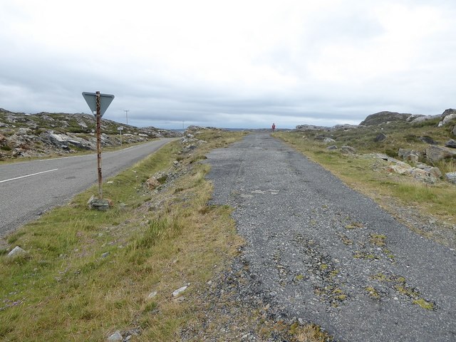
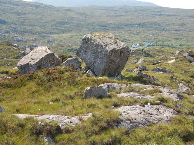
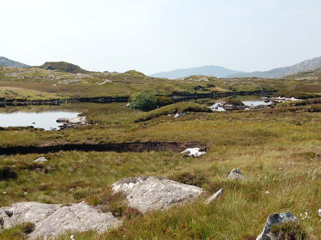
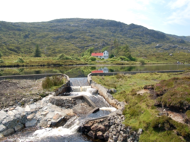
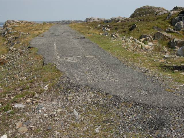
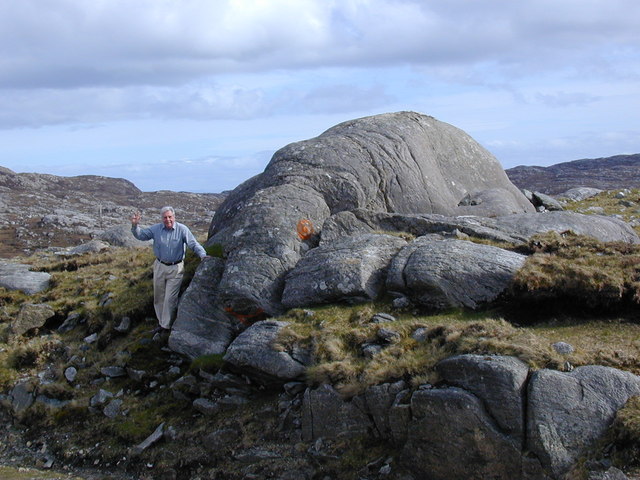
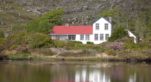
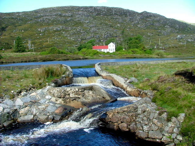
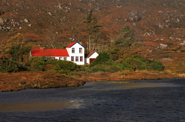
Images are sourced within 2km of 57.868491/-6.8460019 or Grid Reference NG1296. Thanks to Geograph Open Source API. All images are credited.

Road on Harris
Road on Harris
Rock on the western slopes of Ceann Reamhar, Harris
Old fence posts on the western slopes of Beinn nan Leac, Harris Looking towards the A859 with Loch Lacasdail behind.
Old fence posts on the western slopes of Beinn nan Leac, Harris
Looking towards the A859 with Loch Lacasdail behind.
Rocks on the southern slopes of Uabhal Mòr, Harris Looking towards the A859 and Tràigh Losgaintir.
Rocks on the southern slopes of Uabhal Mòr, Harris
Looking towards the A859 and Tràigh Losgaintir.
Rock slab, Beul na Bearnadh, Harris
Old fence posts on the eastern slopes of Beinn nan Leac, Harris The fence posts can be seen following the line of an older stone dyke.
Old fence posts on the eastern slopes of Beinn nan Leac, Harris
The fence posts can be seen following the line of an older stone dyke.
Loch na Creige Glaise
The old road near Loch Lacasdail
Disused road section next to start of the 'Golden Road'
Boulder in Lacasdail
Loch na h-Aibhne Gairbhe Formed by the damming of the Abhainn Gharbhe.
Loch na h-Aibhne Gairbhe
Formed by the damming of the Abhainn Gharbhe.
Loch Bearastadh Mor In Lacasdail
Loch Bearastadh Mor
In Lacasdail
Horsacleit The artificially enhanced loch in front of Horsacleit was designed as part of the Horsacleit fishery. The lodge itself was probably erected around the 1890s to house fishermen who came to flyfish on this loch and the associated river system.
Horsacleit
The artificially enhanced loch in front of Horsacleit was designed as part of the Horsacleit fishery. The lodge itself was probably erected around the 1890s to house fishermen who came to flyfish on this loch and the associated river system.
The end of the Miabhag road The old road to Miabhag ends here. Although the current road and the line of this old road both are shown on the 25k map, neither appears on the 1940s OS. This must have been a relatively short-lived road.
The end of the Miabhag road
The old road to Miabhag ends here. Although the current road and the line of this old road both are shown on the 25k map, neither appears on the 1940s OS. This must have been a relatively short-lived road.
Elephant Rock On road from Tarbert to Luskentyre watch out for elephants
Elephant Rock
On road from Tarbert to Luskentyre watch out for elephants
Horsacleit Horsacleit house near Tarbert.
Horsacleit
Horsacleit house near Tarbert.
Horsacleit Set in a stunning location west of the township of Miabhaig.
Horsacleit
Set in a stunning location west of the township of Miabhaig.
The red & white house This lovely building, Horsacleit House, sits next to its own lochan which in turn is next to the A859 which runs from Tarbert to Rodel.
The red & white house
This lovely building, Horsacleit House, sits next to its own lochan which in turn is next to the A859 which runs from Tarbert to Rodel.
Show me another place!

Uabhal Mòr is located at Grid Ref: NG1296 (Lat: 57.868491, Lng: -6.8460019)

Unitary Authority: Na h-Eileanan an Iar

Police Authority: Highlands and Islands

What 3 Words

///february.respond.dividers. Near Tarbert, Na h-Eileanan Siar

Nearby Locations

Uabhal Mòr

Related Wikis

Tarbert, Harris

Tarbert (Scottish Gaelic: An Tairbeart [ən̪ˠ ˈt̪ɛrʲɛbərˠʃt̪]) is the main community on Harris in the Western Isles of Scotland. The name means "isthmus...

Harris distillery

Harris distillery is a Scotch whisky and Gin distillery in Tarbert on the Isle of Harris, Scotland. The distillery was the first legal distillery ever...

Harris, Outer Hebrides

Harris (Scottish Gaelic: Na Hearadh, pronounced [nə ˈhɛɾəɣ] ) is the southern and more mountainous part of Lewis and Harris, the largest island in the...

East Loch Tarbert

East Loch Tarbert (Scottish Gaelic: Loch an Tairbeairt) is a sea loch that lies to the east of Harris in the Outer Hebrides of Scotland. The loch contains...

Have you been to Uabhal Mòr?

Leave your review of Uabhal Mòr below (or comments, questions and feedback).