Cnoc na Ciste

Hill, Mountain in Ross-shire

Scotland

Cnoc na Ciste

Baile-na-Cille, Lewis, 1989
Baile-na-Cille, Lewis, 1989 Credit: Nigel Thompson

Cnoc na Ciste, located in Ross-shire, Scotland, is a prominent hill/mountain that stands at an elevation of 764 meters (2,507 feet). It is situated within the northern section of the Torridon Hills, a mountain range known for its rugged beauty and stunning landscapes.

Cnoc na Ciste is part of the Beinn Eighe National Nature Reserve, which is recognized for its unique and diverse flora and fauna. The mountain is composed mainly of Torridonian sandstone, which gives it its distinctively reddish appearance. It is surrounded by other peaks, including Ruadh-stac Mòr to the northwest and Spidean Coire nan Clach to the southeast.

The ascent to the summit of Cnoc na Ciste can be challenging, with steep and rocky terrain. However, it offers rewarding panoramic views of the surrounding mountains, including Liathach, Beinn Alligin, and Beinn Dearg. On a clear day, it is possible to see the Isle of Skye and the Inner Hebrides in the distance.

The mountain is a popular destination for hikers and mountaineers, attracting both experienced climbers and those seeking a challenging adventure. It is advisable to come prepared with appropriate hiking gear and navigational tools, as the weather conditions can change rapidly at higher altitudes.

Cnoc na Ciste is not only a natural wonder but also holds historical significance. It is said to have been a sacred site for the ancient Picts, who inhabited the area thousands of years ago. Today, it continues to captivate visitors with its rugged beauty and provides a unique opportunity to experience the stunning Scottish Highlands.

If you have any feedback on the listing, please let us know in the comments section below.

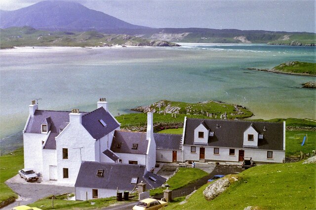
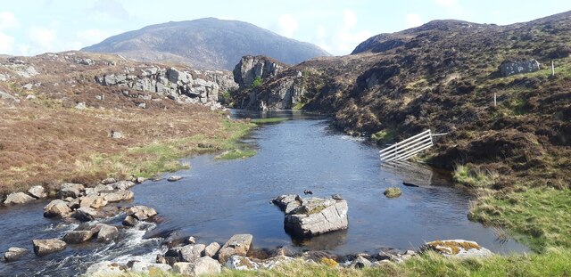
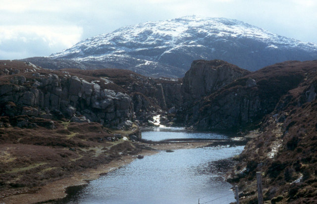
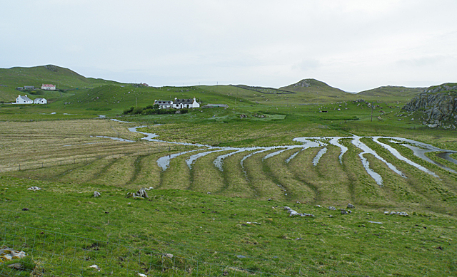
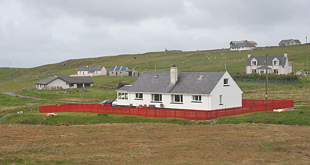
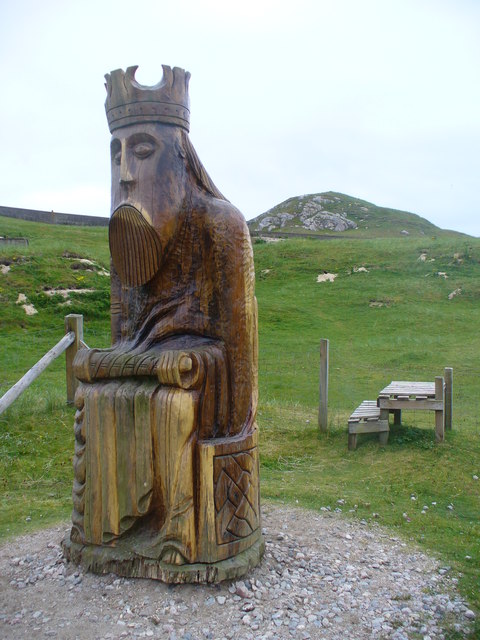
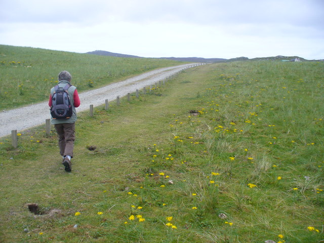
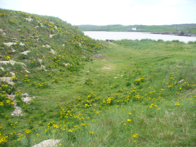
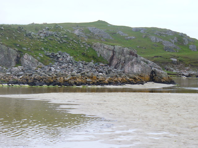
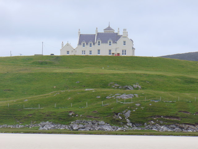
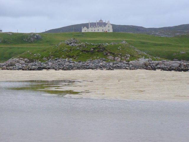
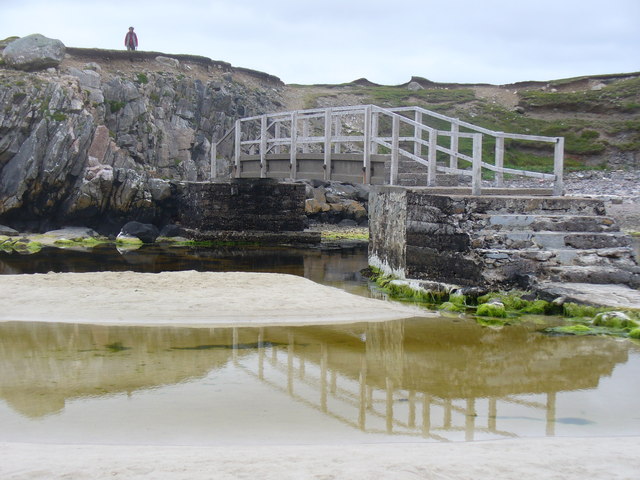
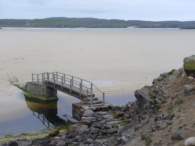
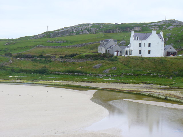
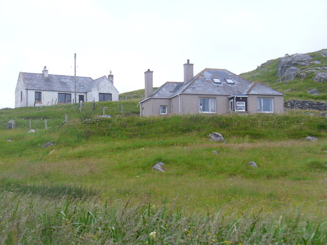
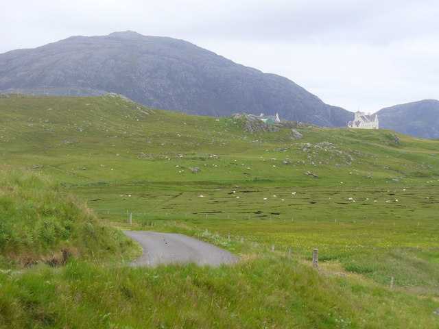
Cnoc na Ciste Images

Images are sourced within 2km of 58.181229/-7.0058979 or Grid Reference NB0532. Thanks to Geograph Open Source API. All images are credited.

Baile-na-Cille, Lewis, 1989
River leading from Loch Stacsabhat
A river tumbles down to Uig Bay Late snow coats the west Lewis mountains.
A river tumbles down to Uig Bay
Late snow coats the west Lewis mountains.
Waterlogged Lazybeds After a day of torrential rain, the old lazybeds at Eadar Dha Fhadail (Ardroil) are almost submerged by flooding.
Waterlogged Lazybeds
After a day of torrential rain, the old lazybeds at Eadar Dha Fhadail (Ardroil) are almost submerged by flooding.
Timsgearraidh (Timsgarry) Most of the older cottages at Timsgearraidh have being replaced by modern houses. They may be less picturesque, but they're much more comfortable for the occupants.
Timsgearraidh (Timsgarry)
Most of the older cottages at Timsgearraidh have being replaced by modern houses. They may be less picturesque, but they're much more comfortable for the occupants.
Wooden King, Uig Sculpture based on one of the famous Lewis chessmen, sited close to the cemetery at Uig.
<span class="nowrap"><a title="http://www.uigandbernera.com/" rel="nofollow ugc noopener" href="http://www.uigandbernera.com/">Link</a><img style="margin-left:2px;" alt="External link" title="External link - shift click to open in new window" src="https://s1.geograph.org.uk/img/external.png" width="10" height="10"/></span>
Wooden King, Uig
Sculpture based on one of the famous Lewis chessmen, sited close to the cemetery at Uig. LinkExternal link
Track to Uig Sands Paralleled by a grassy footpath across the machair.
<span class="nowrap"><a title="http://www.uigandbernera.com/" rel="nofollow ugc noopener" href="http://www.uigandbernera.com/">Link</a><img style="margin-left:2px;" alt="External link" title="External link - shift click to open in new window" src="https://s1.geograph.org.uk/img/external.png" width="10" height="10"/></span>
Track to Uig Sands
Paralleled by a grassy footpath across the machair. LinkExternal link
Sand Dunes at Uig Flanking the wide expanses of sand flats at Uig Bay.
<span class="nowrap"><a title="http://www.uigandbernera.com/" rel="nofollow ugc noopener" href="http://www.uigandbernera.com/">Link</a><img style="margin-left:2px;" alt="External link" title="External link - shift click to open in new window" src="https://s1.geograph.org.uk/img/external.png" width="10" height="10"/></span>
Sand Dunes at Uig
Flanking the wide expanses of sand flats at Uig Bay. LinkExternal link
Outflow at Tràigh Ùige Rivermouth where the outflow is hemmed beneath rocky crags.
<span class="nowrap"><a title="http://www.uigandbernera.com/" rel="nofollow ugc noopener" href="http://www.uigandbernera.com/">Link</a><img style="margin-left:2px;" alt="External link" title="External link - shift click to open in new window" src="https://s1.geograph.org.uk/img/external.png" width="10" height="10"/></span>
Outflow at Tràigh Ùige
Rivermouth where the outflow is hemmed beneath rocky crags. LinkExternal link
Loidse Uig Uig Lodge, large hilltop mansion overlooking the expanses of Tràigh Ùige.
<span class="nowrap"><a title="http://www.uigandbernera.com/" rel="nofollow ugc noopener" href="http://www.uigandbernera.com/">Link</a><img style="margin-left:2px;" alt="External link" title="External link - shift click to open in new window" src="https://s1.geograph.org.uk/img/external.png" width="10" height="10"/></span>
Loidse Uig
Uig Lodge, large hilltop mansion overlooking the expanses of Tràigh Ùige. LinkExternal link
Dun Borrainais Remains of an Early Iron Age fort below a rocky promontory at Uig Sands.
<span class="nowrap"><a title="http://www.uigandbernera.com/" rel="nofollow ugc noopener" href="http://www.uigandbernera.com/">Link</a><img style="margin-left:2px;" alt="External link" title="External link - shift click to open in new window" src="https://s1.geograph.org.uk/img/external.png" width="10" height="10"/></span>
Dun Borrainais
Remains of an Early Iron Age fort below a rocky promontory at Uig Sands. LinkExternal link
Footbridge at Uig Sands 1980 wooden footbridge connecting Traigh Uige with the rocky promontory above Dun Borranais.
<span class="nowrap"><a title="http://www.uigandbernera.com/" rel="nofollow ugc noopener" href="http://www.uigandbernera.com/">Link</a><img style="margin-left:2px;" alt="External link" title="External link - shift click to open in new window" src="https://s1.geograph.org.uk/img/external.png" width="10" height="10"/></span>
Footbridge at Uig Sands
1980 wooden footbridge connecting Traigh Uige with the rocky promontory above Dun Borranais. LinkExternal link
Borranais a Muigh The northern end of Traigh Uige's expanses of sand flats with the 1980 footbridge across the river close to Dun Borranais.
<span class="nowrap"><a title="http://www.uigandbernera.com/" rel="nofollow ugc noopener" href="http://www.uigandbernera.com/">Link</a><img style="margin-left:2px;" alt="External link" title="External link - shift click to open in new window" src="https://s1.geograph.org.uk/img/external.png" width="10" height="10"/></span>
Borranais a Muigh
The northern end of Traigh Uige's expanses of sand flats with the 1980 footbridge across the river close to Dun Borranais. LinkExternal link
Old Manse at Baile na Cille Above Traigh na Cille, the northern end of Traigh Uige's expansive sand flats.
<span class="nowrap"><a title="http://www.uigandbernera.com/" rel="nofollow ugc noopener" href="http://www.uigandbernera.com/">Link</a><img style="margin-left:2px;" alt="External link" title="External link - shift click to open in new window" src="https://s1.geograph.org.uk/img/external.png" width="10" height="10"/></span>
Old Manse at Baile na Cille
Above Traigh na Cille, the northern end of Traigh Uige's expansive sand flats. LinkExternal link
Baile na Cille Crofts on the grassy hillside west of Timsgearraidh, Uig.
<span class="nowrap"><a title="http://www.uigandbernera.com/" rel="nofollow ugc noopener" href="http://www.uigandbernera.com/">Link</a><img style="margin-left:2px;" alt="External link" title="External link - shift click to open in new window" src="https://s1.geograph.org.uk/img/external.png" width="10" height="10"/></span>
Baile na Cille
Crofts on the grassy hillside west of Timsgearraidh, Uig. LinkExternal link
Erista, Uig Former lazy beds in the river valley below Uig Lodge. The mountain on the skyline is Suaineabhat (429m).
<span class="nowrap"><a title="http://www.uigandbernera.com/" rel="nofollow ugc noopener" href="http://www.uigandbernera.com/">Link</a><img style="margin-left:2px;" alt="External link" title="External link - shift click to open in new window" src="https://s1.geograph.org.uk/img/external.png" width="10" height="10"/></span>
Erista, Uig
Former lazy beds in the river valley below Uig Lodge. The mountain on the skyline is Suaineabhat (429m). LinkExternal link
Baile-na-Cille View from the road end, across the machair, to Traigh na Cille and Traigh Uige.
<span class="nowrap"><a title="http://www.uigandbernera.com/" rel="nofollow ugc noopener" href="http://www.uigandbernera.com/">Link</a><img style="margin-left:2px;" alt="External link" title="External link - shift click to open in new window" src="https://s1.geograph.org.uk/img/external.png" width="10" height="10"/></span>
Baile-na-Cille
View from the road end, across the machair, to Traigh na Cille and Traigh Uige. LinkExternal link
Drainage Patterns at Uig Meanders and sink holes are evident on the machair where sheep are grazing at Timsgearraidh / Timsgarry, Uig.
Drainage Patterns at Uig
Meanders and sink holes are evident on the machair where sheep are grazing at Timsgearraidh / Timsgarry, Uig.
Show me another place!

Cnoc na Ciste is located at Grid Ref: NB0532 (Lat: 58.181229, Lng: -7.0058979)

Unitary Authority: Na h-Eileanan an Iar

Police Authority: Highlands and Islands

What 3 Words

///handfuls.milder.procures. Near Carloway, Na h-Eileanan Siar

Related Wikis

Uig, Lewis

Uig (Scottish Gaelic: Ùig [uːkʲ]), also known as Sgìr' Ùig, is a civil parish and community in the west of the Isle of Lewis in the Outer Hebrides, Scotland...

Ardroil

Ardroil (Scottish Gaelic: Eadar Dhà Fhadhail) is a village on the Isle of Lewis in the Outer Hebrides, Scotland. Ardroil is within the parish of Uig....

Timsgarry

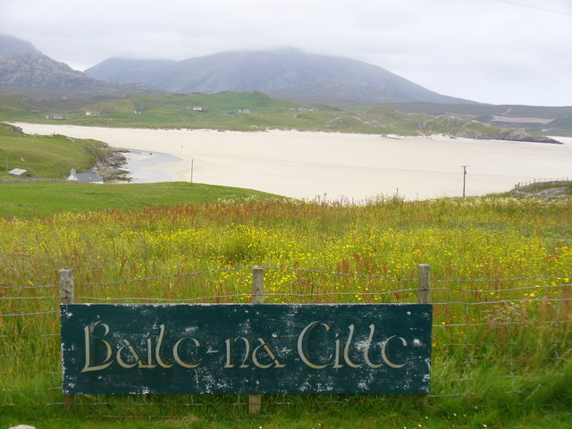
Timsgarry (Scottish Gaelic: Tuimisgearraidh) is a village on the Isle of Lewis, in the Outer Hebrides, Scotland. Timsgarry is home to the Baile na Cille...

Camas Uig

Camas Uig (Uig Bay) is a bay on the west coast of the Isle of Lewis, in the Outer Hebrides of Scotland. The Lewis Chessmen were discovered in the dunes...

Nearby Amenities

Located within 500m of 58.181229,-7.0058979
Barrier: cattle_grid
Lat/Long: 58.1804924/-7.011282
Passing Place
Lat/Long: 58.1805853/-7.0102667
Passing Place
Lat/Long: 58.1785102/-7.0055469
Passing Place
Lat/Long: 58.1780633/-7.0045571
Passing Place
Lat/Long: 58.1769797/-7.0033276
Noexit: yes
Lat/Long: 58.1825923/-7.0073853
The data included in this document is from www.openstreetmap.org. The data is made available under ODbL.

Have you been to Cnoc na Ciste?

Leave your review of Cnoc na Ciste below (or comments, questions and feedback).