Creag na h-Iolaire
Hill, Mountain in Inverness-shire
Scotland
Creag na h-Iolaire
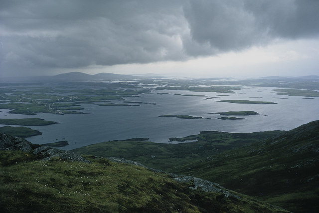
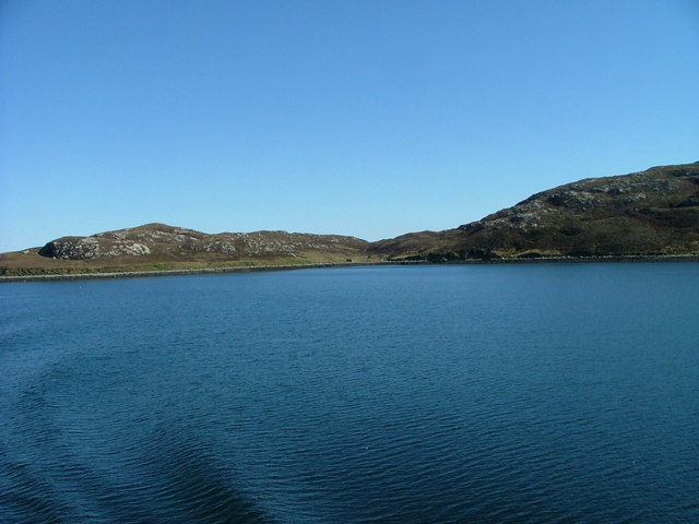
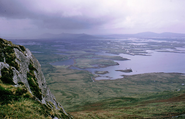
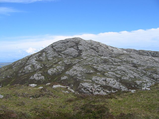
Creag na h-Iolaire, located in Inverness-shire, Scotland, is a prominent hill/mountain renowned for its picturesque beauty and historical significance. Standing at an elevation of approximately 1,174 feet (358 meters), it offers breathtaking panoramic views of the surrounding landscape.
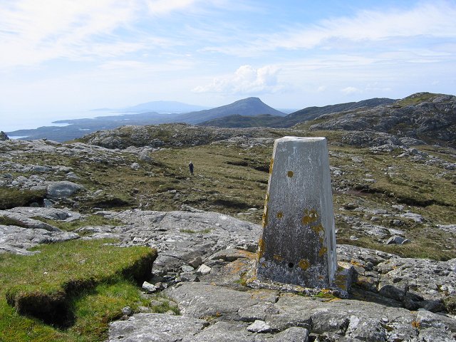
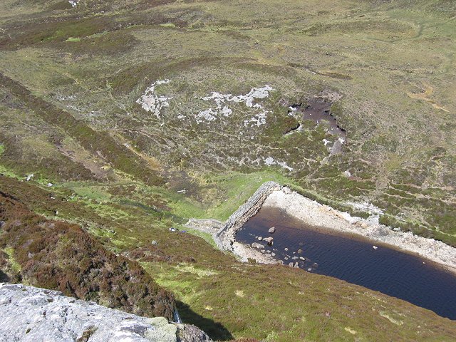
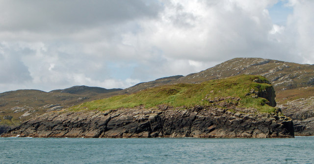
Situated near the village of Achnasheen, Creag na h-Iolaire is a popular destination for hikers and outdoor enthusiasts. Its location in the Scottish Highlands provides a challenging yet rewarding climb, attracting both experienced climbers and casual walkers. The hill/mountain is characterized by its rugged terrain, heather-covered slopes, and rocky outcrops, which add to its charm and allure.
The name "Creag na h-Iolaire" translates to "Eagle Rock" in English, paying homage to the majestic birds of prey that can sometimes be spotted soaring above. This scenic spot is home to a diverse range of flora and fauna, including rare bird species, such as golden eagles and peregrine falcons, making it a haven for birdwatchers.
A notable historical event associated with Creag na h-Iolaire is the crash of the British European Airways Flight 548 in 1954. A memorial plaque has been erected near the summit to commemorate the 35 lives lost in the tragedy, serving as a poignant reminder of the site's history.
Overall, Creag na h-Iolaire offers a unique blend of natural beauty, adventure, and historical significance, making it a must-visit destination for those exploring the Inverness-shire region of Scotland.
If you have any feedback on the listing, please let us know in the comments section below.
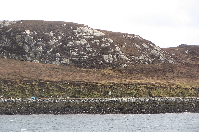
Creag na h-Iolaire Images
Images are sourced within 2km of 57.575213/-7.1170329 or Grid Reference NF9465. Thanks to Geograph Open Source API. All images are credited.
Creag na h-Iolaire is located at Grid Ref: NF9465 (Lat: 57.575213, Lng: -7.1170329)
Unitary Authority: Na h-Eileanan an Iar
Police Authority: Highlands and Islands
What 3 Words
///daydreams.butlers.advising. Near Lochmaddy, Na h-Eileanan Siar
Nearby Locations
Related Wikis

Taigh Chearsabhagh
Taigh Chearsabhagh is an arts centre and museum in Lochmaddy on the island of North Uist, Scotland.Taigh Chearsabhagh was built in 1741 and originally...

Weavers Point
Weavers Point (Scottish Gaelic: Rubha an Fhigheadair) is a headland to the north of the entrance to Loch Maddy, on the north eastern coastline of North...

Lochmaddy
Lochmaddy (Scottish Gaelic: Loch nam Madadh [l̪ˠɔx nə ˈmat̪əɣ], "Loch of the Hounds") is the administrative centre of North Uist in the Outer Hebrides...

Ceallasaigh Beag
Ceallasaigh Beag (or Keallasay Beg) is a low-lying island in Loch Maddy off North Uist in the Outer Hebrides of Scotland. This an area of shallow lagoons...
Ceallasaigh Mòr
Ceallasaigh Mòr (or Keallasay More) is a low-lying island in Loch Maddy off North Uist in the Outer Hebrides of Scotland. This an area of shallow lagoons...

Na Fir Bhrèige
Na Fir Bhrèige (pronounced [nə fiɾʲ ˈvɾʲeːkʲə]; can be translated from Gaelic into English as "The False Men") is a set of three standing stones on the...

Loch Sgadabhagh
Loch Sgadabhagh or Loch Scadavay is a body of water on the island of North Uist, Scotland. The name may be of Old Norse derivation meaning "lake of tax...
Flodaigh Mòr
Flodaigh Mòr (or Floddaymore) is an uninhabited island in the Outer Hebrides of Scotland. == Geography and geology == Flodaigh Mòr lies east of North Uist...
Have you been to Creag na h-Iolaire?
Leave your review of Creag na h-Iolaire below (or comments, questions and feedback).