Sand Moors
Downs, Moorland in Yorkshire
England
Sand Moors
The requested URL returned error: 429 Too Many Requests
If you have any feedback on the listing, please let us know in the comments section below.
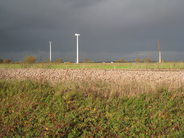
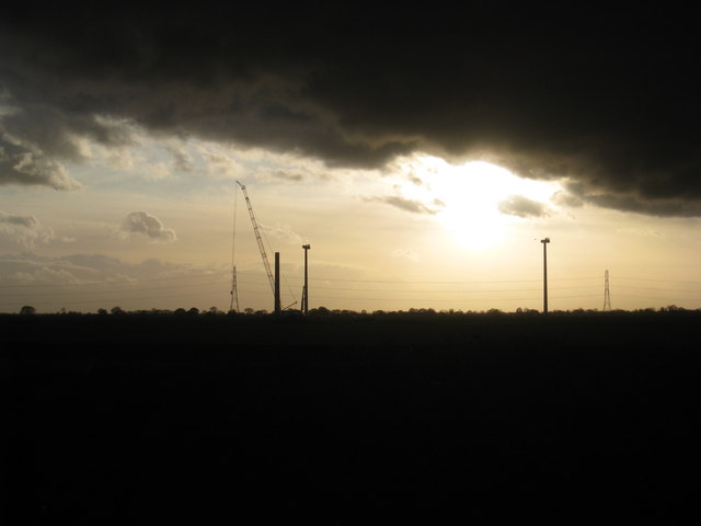
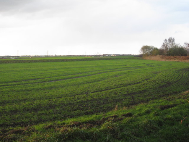
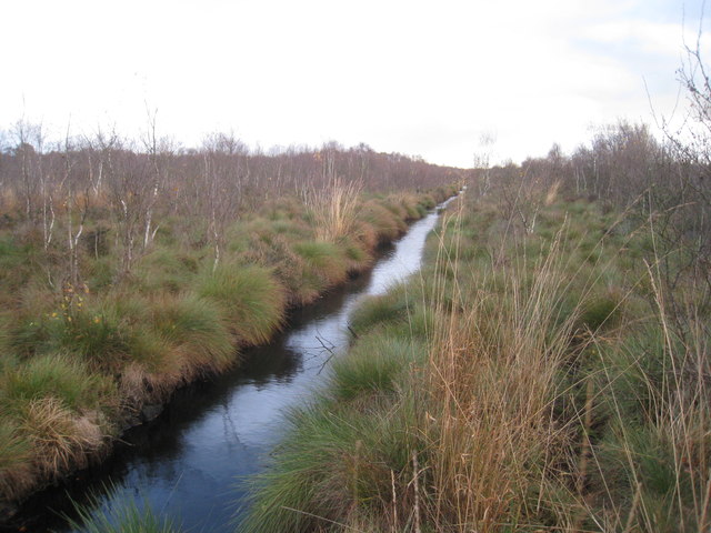
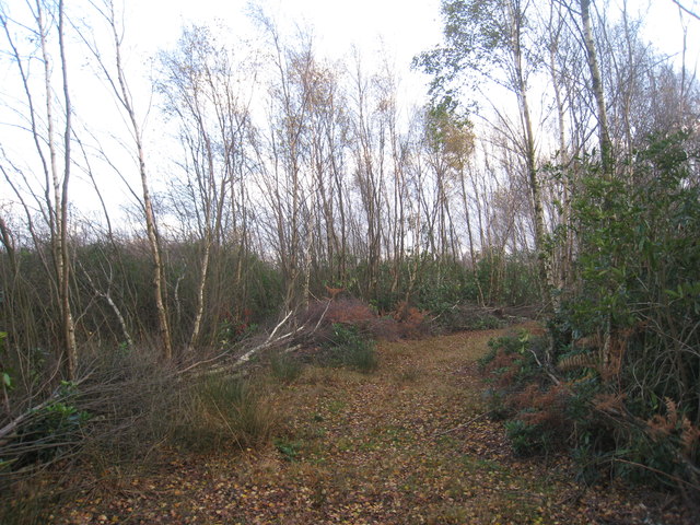
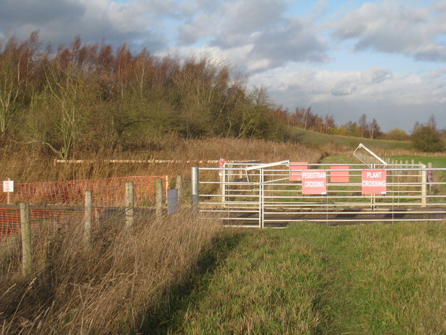
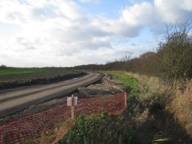
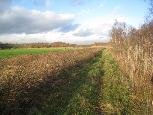
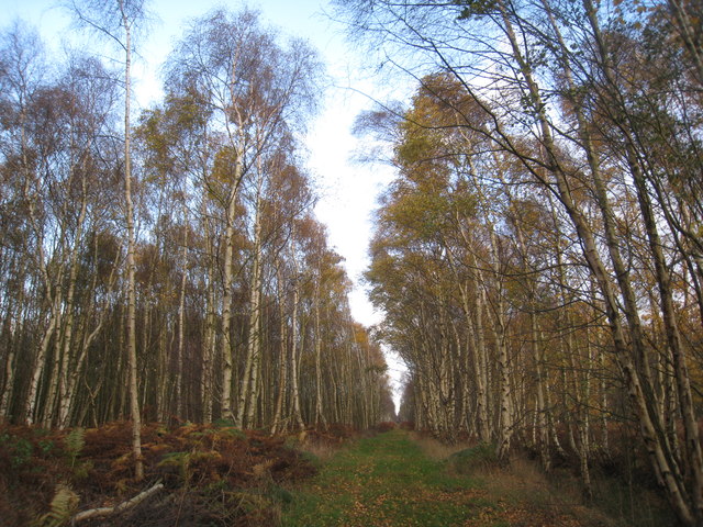
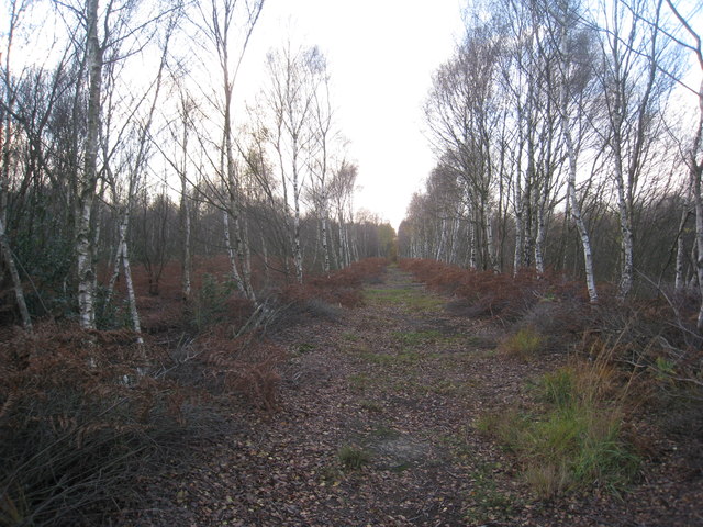
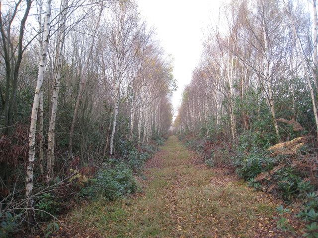
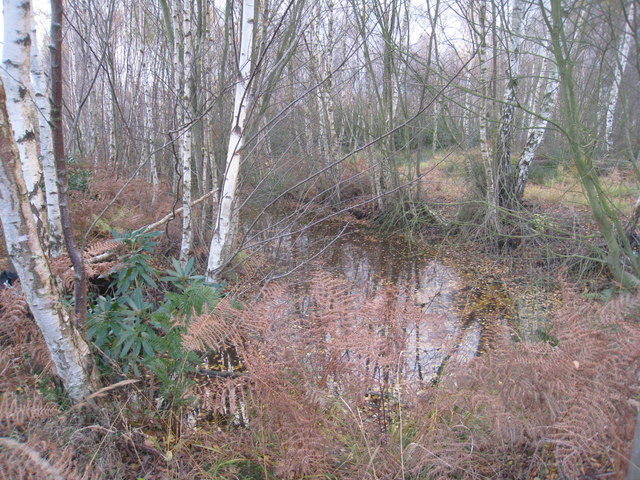
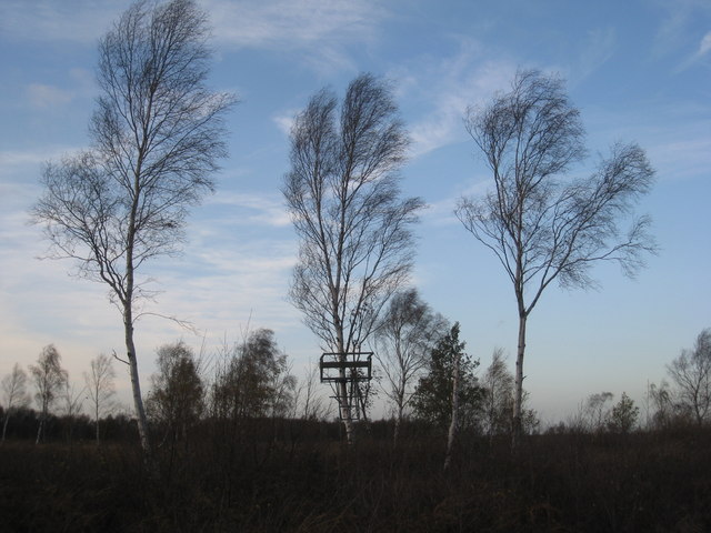
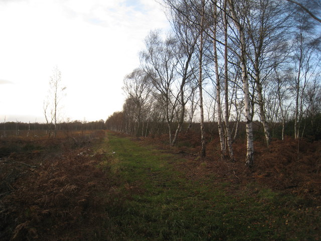
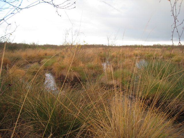
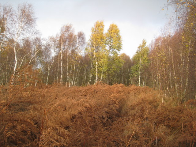
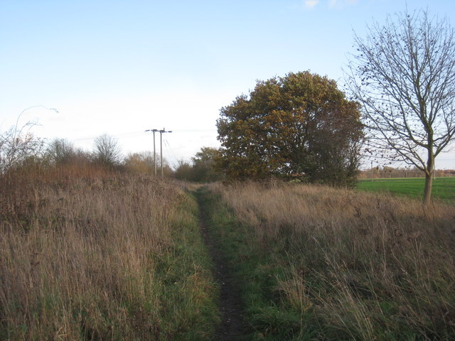
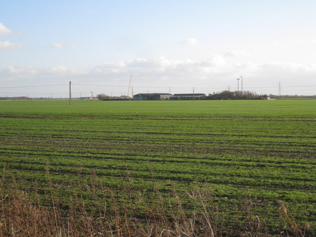
Sand Moors Images
Images are sourced within 2km of 53.611988/-0.92405935 or Grid Reference SE7113. Thanks to Geograph Open Source API. All images are credited.
Sand Moors is located at Grid Ref: SE7113 (Lat: 53.611988, Lng: -0.92405935)
Division: West Riding
Unitary Authority: Doncaster
Police Authority: South Yorkshire
Also known as: South Moors
What 3 Words
///cookie.winner.snippet. Near Thorne, South Yorkshire
Nearby Locations
Related Wikis

Maud's Bridge railway station
Maud's Bridge was a small railway station built by the South Yorkshire Railway on its line between Thorne and Keadby. The station was situated between...

Trinity Academy, Thorne
Trinity Academy is a non-selective co-educational secondary school in the English Academy programme, at Thorne near Doncaster, South Yorkshire, England...

Thorne and Hatfield Moors
Thorne and Hatfield Moors form the largest area of lowland raised peat bog in the United Kingdom. They are situated in South Yorkshire, to the north-east...
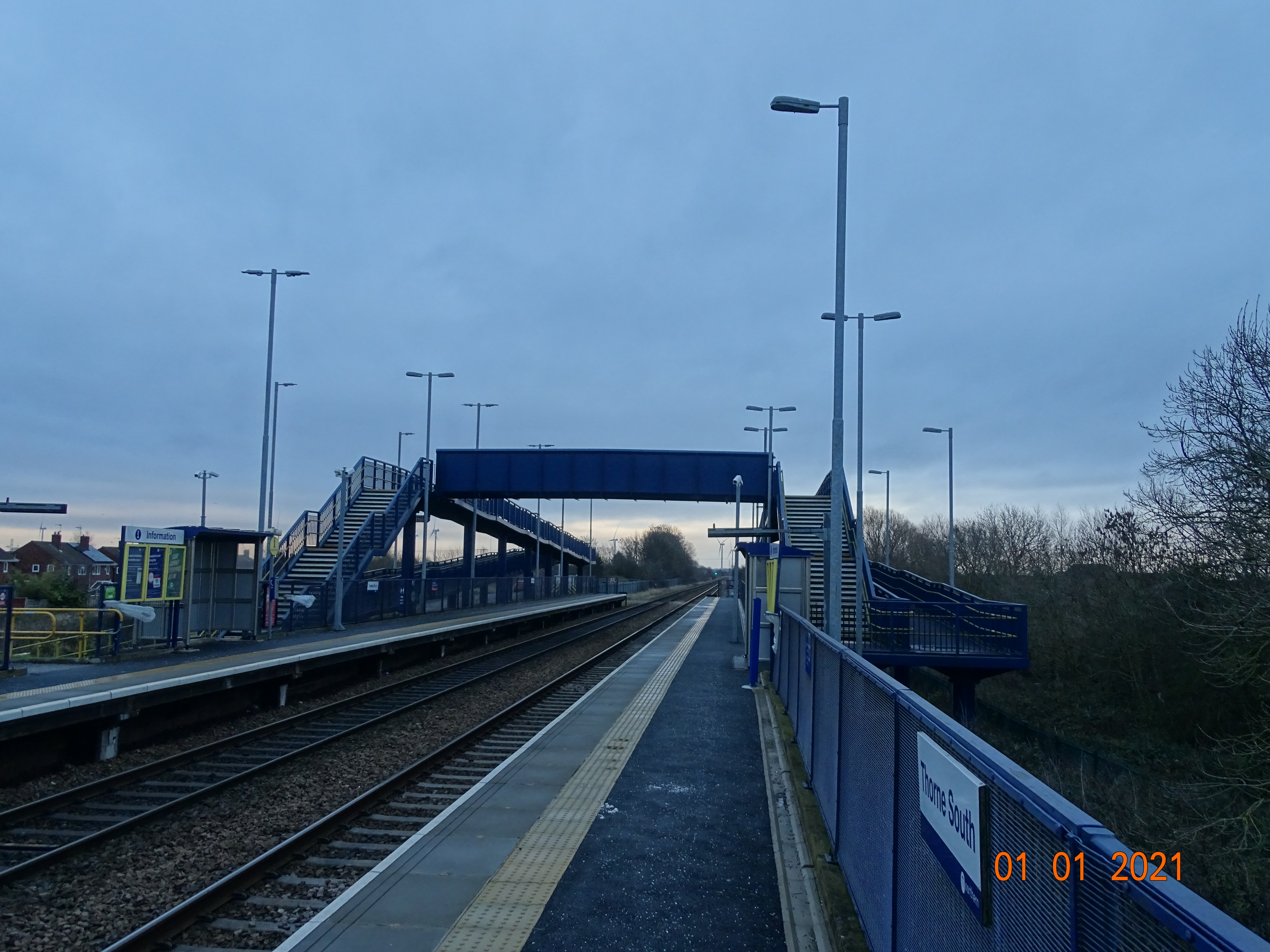
Thorne South railway station
Thorne South railway station is one of two stations serving the market town of Thorne in South Yorkshire, England. The station is 9.75 miles (16 km) north...
Nearby Amenities
Located within 500m of 53.611988,-0.92405935Have you been to Sand Moors?
Leave your review of Sand Moors below (or comments, questions and feedback).