Fodder Fen

Downs, Moorland in Cambridgeshire East Cambridgeshire

England

Fodder Fen

North Fen Drove, from the railway line
North Fen Drove, from the railway line Credit: Christopher Hilton

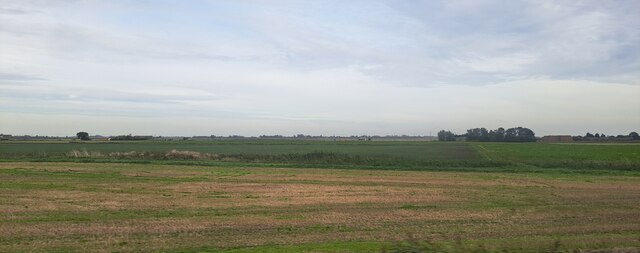
Fodder Fen is a unique and picturesque area located in Cambridgeshire, England. Spread across an expansive landscape, it encompasses both downs and moorland, providing a diverse and captivating environment for visitors.

The downs of Fodder Fen consist of rolling hills covered with lush green grasses and scattered wildflowers. These gentle slopes are perfect for leisurely walks and offer panoramic views of the surrounding countryside. The downs also serve as grazing grounds for livestock, adding to the rural charm of the area.

In contrast, the moorland of Fodder Fen presents a wilder and more rugged landscape. Here, heather and gorse dominate the scenery, creating a vibrant carpet of purples and yellows. This area is home to various bird species, including skylarks and curlews, making it a haven for birdwatchers and nature enthusiasts.

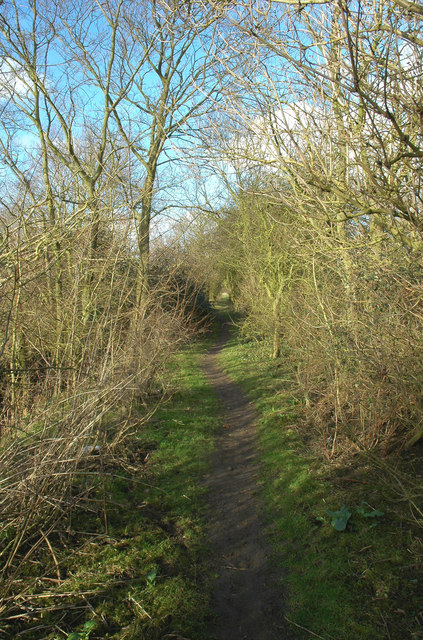
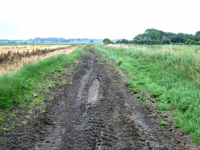
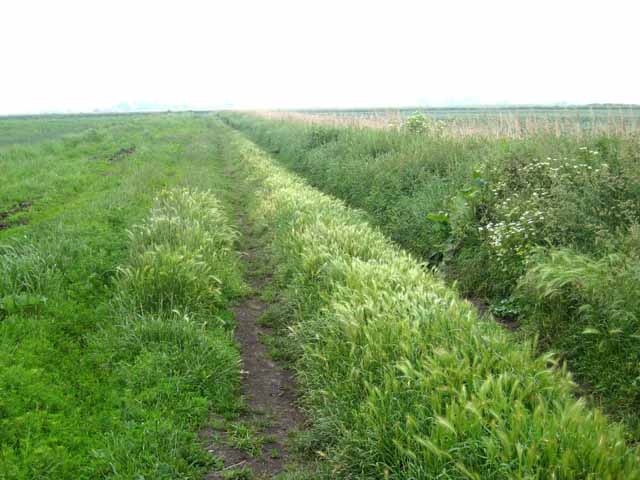
Fodder Fen is crisscrossed by a network of footpaths and trails, allowing visitors to explore the area at their own pace. These paths provide access to hidden gems such as ancient burial mounds and archaeological sites, adding a touch of history to the natural beauty.

The fen is also known for its rich biodiversity, with numerous wetland areas supporting a wide range of plant and animal species. Reed beds, marshes, and ponds are scattered throughout, creating havens for water-loving creatures such as dragonflies, frogs, and waterfowl.

Fodder Fen is a tranquil and idyllic destination, offering a peaceful retreat from the hustle and bustle of city life. Whether it's a leisurely stroll along the downs or an adventurous hike through the moorland, visitors will find solace and beauty in this enchanting corner of Cambridgeshire.

If you have any feedback on the listing, please let us know in the comments section below.
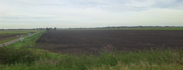
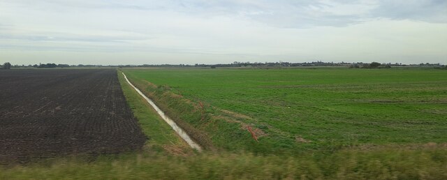
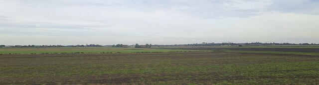
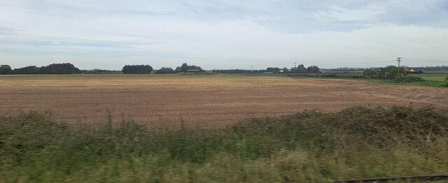
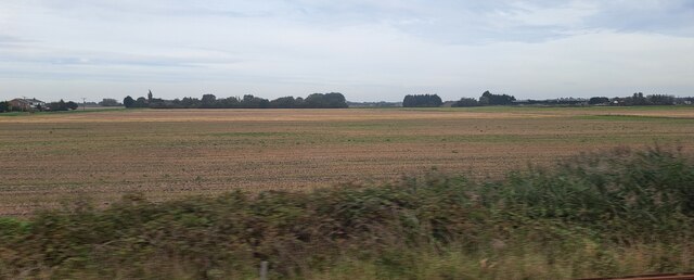
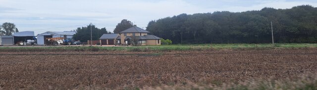
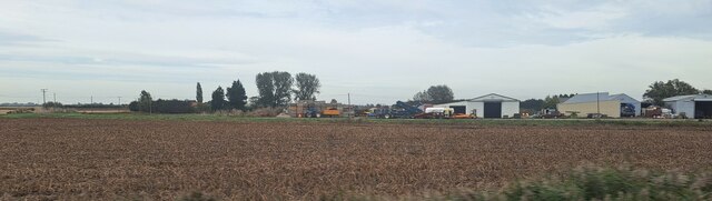
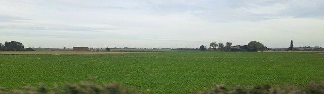
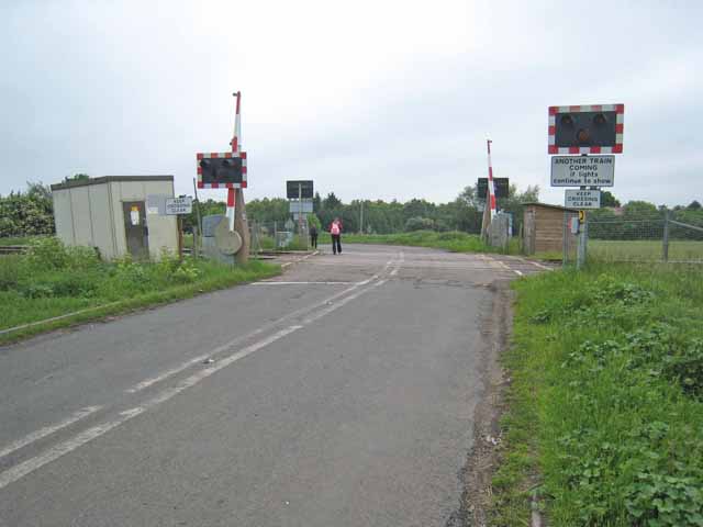
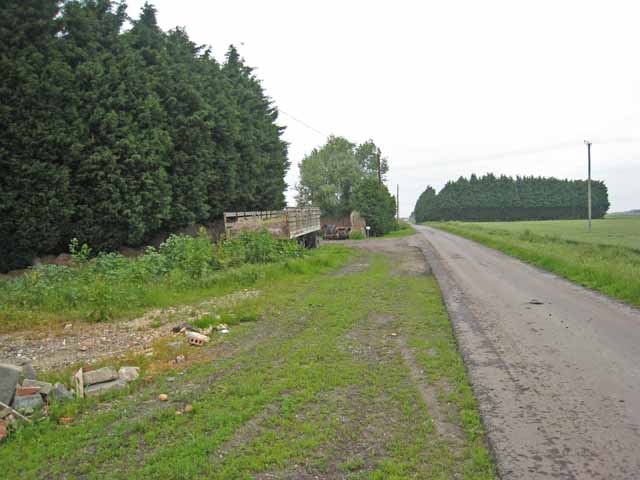
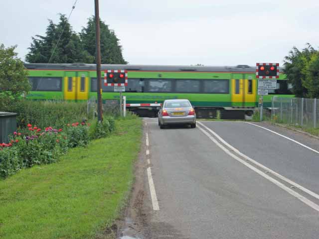
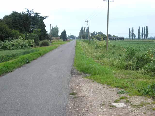
Fodder Fen Images

Images are sourced within 2km of 52.454829/0.25547762 or Grid Reference TL5386. Thanks to Geograph Open Source API. All images are credited.

North Fen Drove, from the railway line
Ditch in North Fen, from the railway
Beild Drove and Wood Fen, from the railway
North Fen, from the railway line North Fen Drove can just been seen running from the right of the picture towards the central distance.
North Fen, from the railway line
North Fen Drove can just been seen running from the right of the picture towards the central distance.
View towards Ypres House, from the railway The barns in the centre mark the location of Ypres House.  Black Bank Road runs past the house on the right.
View towards Ypres House, from the railway
The barns in the centre mark the location of Ypres House. Black Bank Road runs past the house on the right.
View from the railway, east of Second Drove The house on the extreme left is on Second Drove; that on the right lies on Black Bank Road.
View from the railway, east of Second Drove
The house on the extreme left is on Second Drove; that on the right lies on Black Bank Road.
Laurel Farm, Main Drove, from the railway
Looking towards Main Drove from the railway Willow Farm is on the right, while Quaker Farm is hidden behind the trees to the left.
Looking towards Main Drove from the railway
Willow Farm is on the right, while Quaker Farm is hidden behind the trees to the left.
View across the fields to Main Drove, from the railway On the right lies Quaker Farm, with a public footpath leading across the fields towards it.
View across the fields to Main Drove, from the railway
On the right lies Quaker Farm, with a public footpath leading across the fields towards it.
Hereward Way Hereward Way footpath near Little Downham, Cambridgeshire.
Hereward Way
Hereward Way footpath near Little Downham, Cambridgeshire.
Muddy track off Furlong Drove Because of drainage problems, and the heavy farm machinery used in the area, tracks in the Fens are often deeply rutted.
Muddy track off Furlong Drove
Because of drainage problems, and the heavy farm machinery used in the area, tracks in the Fens are often deeply rutted.
Field irrigation equipment Heavy duty equipment for irrigating the fields. Seen at a farm on Main Drove, near Pymore.
Field irrigation equipment
Heavy duty equipment for irrigating the fields. Seen at a farm on Main Drove, near Pymore.
Level crossing on Main Drove On the Ely to Peterborough line.
Level crossing on Main Drove
On the Ely to Peterborough line.
Main Drove, Fodder Fen It is common to surround farmsteads in the area with windbreaks of Cupressus.
Main Drove, Fodder Fen
It is common to surround farmsteads in the area with windbreaks of Cupressus.
Level crossing on Black Bank Road Over the Ely to Peterborough line, served by Central Trains.
Level crossing on Black Bank Road
Over the Ely to Peterborough line, served by Central Trains.
Second Drove, Fodder Fen One of the numerous cul-de-sac "droves" in the Fens.
Second Drove, Fodder Fen
One of the numerous cul-de-sac "droves" in the Fens.
The path to Fodder Fen Continues the line of Old Pools Drove and Plains Lane on the other side of the A1101. Rather unusually, this track has the status of public footpath, but in the absence of any sizeable contingent of the Ramblers Association in the locality to lobby for the maintenance of rights of way, footpaths in the Fens are generally very neglected.
The path to Fodder Fen
Continues the line of Old Pools Drove and Plains Lane on the other side of the A1101. Rather unusually, this track has the status of public footpath, but in the absence of any sizeable contingent of the Ramblers Association in the locality to lobby for the maintenance of rights of way, footpaths in the Fens are generally very neglected.
Show me another place!

Fodder Fen is located at Grid Ref: TL5386 (Lat: 52.454829, Lng: 0.25547762)

Division: Isle of Ely

Administrative County: Cambridgeshire

District: East Cambridgeshire

Police Authority: Cambridgeshire

What 3 Words

///directive.promoting.gears. Near Littleport, Cambridgeshire

Nearby Locations

Fodder Fen Second Drove

Related Wikis

Black Bank railway station

Black Bank railway station was a railway station in Black Bank, Cambridgeshire which is now closed. The station platforms have been demolished but the...

Little Downham

Situated in the east of Cambridgeshire, the village of Little Downham is located 3 miles (5 km) north of the city of Ely. The Parish of Downham comprises...

Littleport

Littleport is a village in East Cambridgeshire, in the Isle of Ely, Cambridgeshire, England. It lies about 6 miles (10 km) north-east of Ely and 6 miles...

Little Downham Local Nature Reserve

Little Downham Local Nature Reserve is a 6.6 hectare Local Nature Reserve in Little Downham in Cambridgeshire. It is owned by Little Downham Parish Council...

Related Videos

Family Fishing Holiday at Head Fen Country Retreat

In this video, Foxy and the family head down south to spend a few nights staying at Head Fen Country Retreat. For more info on ...

Walking the Dogs | Downham Community Orchard & Little Downham Local Nature Reserve.

A good long walk with Bella on Easter Bank Holiday Monday. This walk ended up being much longer than I originally planned but ...

Nearby Amenities

Located within 500m of 52.454829,0.25547762
Power: pole
Lat/Long: 52.4518494/0.2524629
Power: pole
Lat/Long: 52.4513722/0.2516314
Power: pole
Lat/Long: 52.4556858/0.2545203
Power: pole
Lat/Long: 52.4573499/0.2524283
Power: pole
Lat/Long: 52.4541658/0.2563846
Power: pole
Lat/Long: 52.4564704/0.2535227
Power: pole
Lat/Long: 52.4524708/0.2589354
Power: pole
Lat/Long: 52.4519296/0.2597668
Power: pole
Lat/Long: 52.4576474/0.251511
Power: pole
Lat/Long: 52.4550076/0.2553625
Power: pole
Lat/Long: 52.4535708/0.2572697
Power: pole
Lat/Long: 52.4580754/0.2503845
Power: pole
Lat/Long: 52.4530265/0.2581039
Power: pole
Lat/Long: 52.4543047/0.2562183
Power: pole
Lat/Long: 52.4572486/0.2525732
Place: farm
Lat/Long: 52.4557562/0.2489181
Building: yes
Lat/Long: 52.4574728/0.2535443
Building: yes
Lat/Long: 52.4565968/0.2517847
Building: yes
Lat/Long: 52.4571983/0.2517847
Place: farm
Lat/Long: 52.4567145/0.2506475
The data included in this document is from www.openstreetmap.org. The data is made available under ODbL.

Have you been to Fodder Fen?

Leave your review of Fodder Fen below (or comments, questions and feedback).